Cnoc na Faoghalach Tioraim
Hill, Mountain in Ross-shire
Scotland
Cnoc na Faoghalach Tioraim
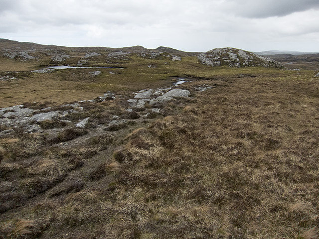
Cnoc na Faoghalach Tioraim is a prominent hill located in Ross-shire, Scotland. It is situated near the village of Tioram and stands at an elevation of approximately 258 meters (846 feet) above sea level. The hill is part of the wider mountainous region known as the Scottish Highlands.
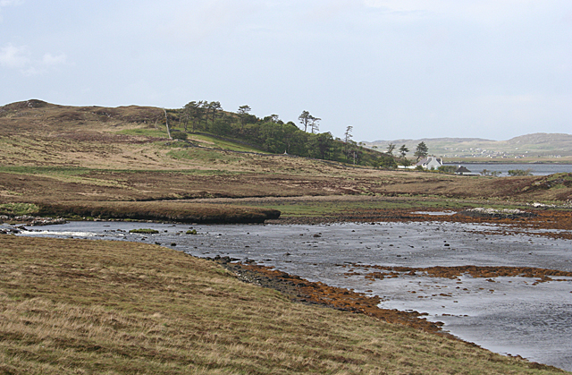
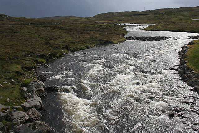
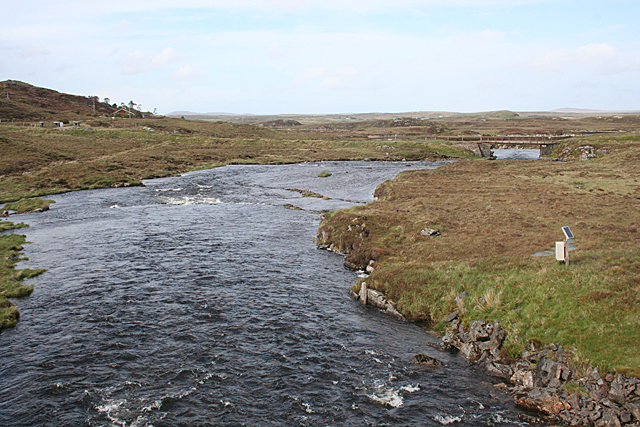
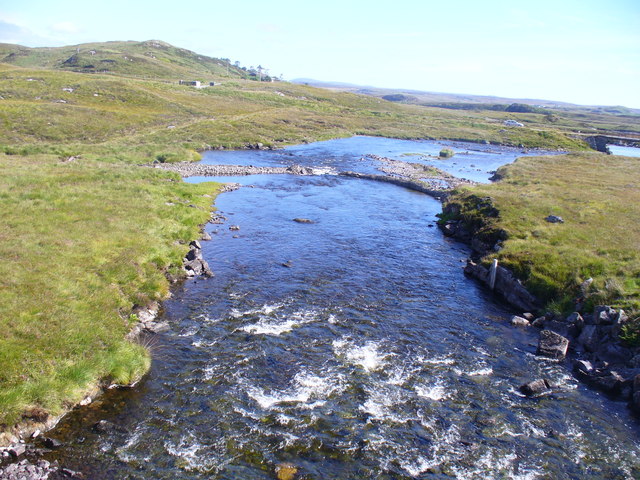
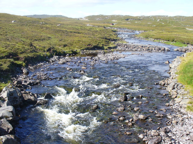
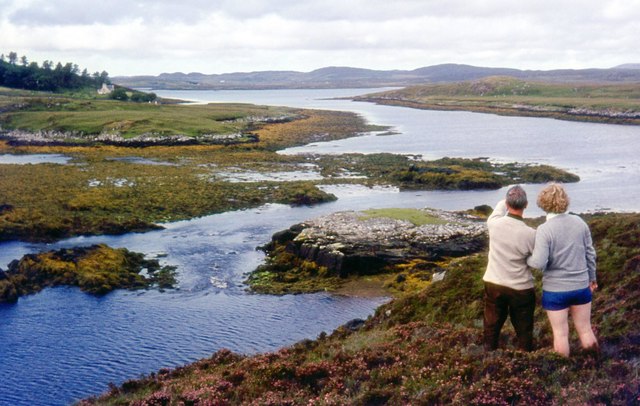
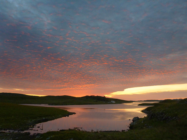
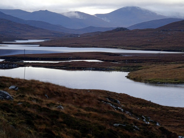
Cnoc na Faoghalach Tioraim offers stunning panoramic views of the surrounding landscape, including the nearby Loch Moidart and the neighboring hills and mountains. On a clear day, visitors can enjoy breathtaking vistas of the rugged coastline, the sparkling waters of the loch, and the rolling green hills stretching into the distance.
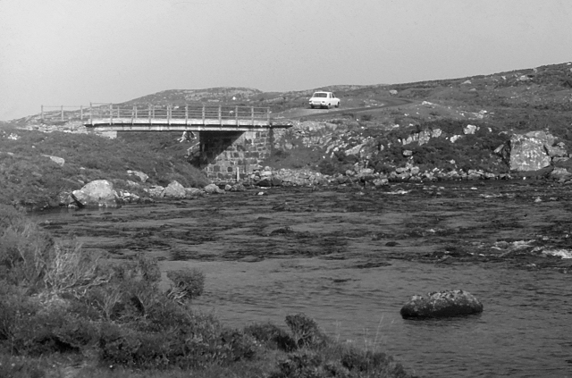
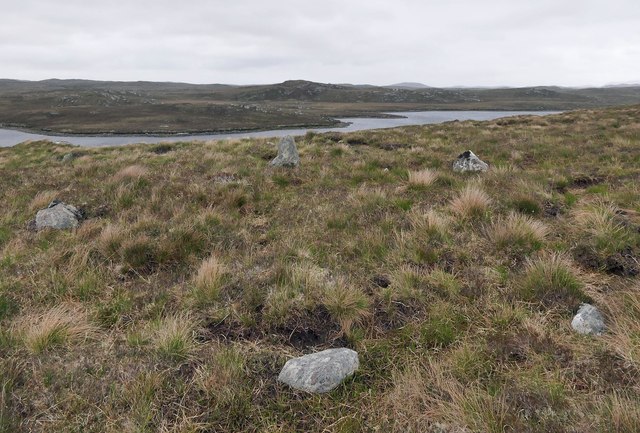
The hill is a popular destination for hikers and nature enthusiasts, thanks to its relatively easy access and well-maintained trails. The ascent to the summit is gradual, making it suitable for hikers of various skill levels. Along the way, visitors can immerse themselves in the picturesque Scottish countryside, with its diverse flora and fauna.
At the top of Cnoc na Faoghalach Tioraim, there is a small cairn that marks the highest point. This serves as a rewarding accomplishment for those who have made the climb. The hill is also home to a variety of bird species, providing ample opportunities for birdwatching enthusiasts.
Overall, Cnoc na Faoghalach Tioraim is a beautiful and accessible hill in Ross-shire, offering stunning views and a chance to connect with nature in the heart of the Scottish Highlands.
If you have any feedback on the listing, please let us know in the comments section below.
Cnoc na Faoghalach Tioraim Images
Images are sourced within 2km of 58.158291/-6.7581101 or Grid Reference NB2028. Thanks to Geograph Open Source API. All images are credited.


Cnoc na Faoghalach Tioraim is located at Grid Ref: NB2028 (Lat: 58.158291, Lng: -6.7581101)
Unitary Authority: Na h-Eileanan an Iar
Police Authority: Highlands and Islands
What 3 Words
///juggled.debit.with. Near Carloway, Na h-Eileanan Siar
Related Wikis

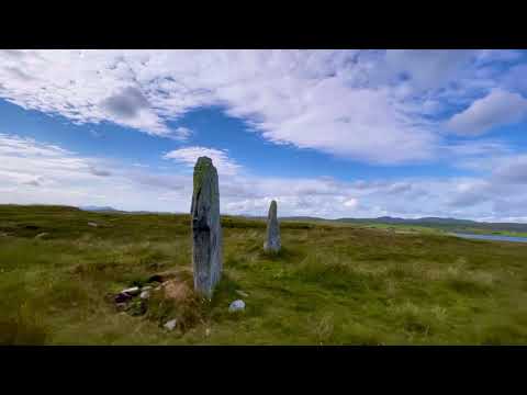
Callanish IV
The Callanish IV stone circle (Scottish Gaelic: Ceann Hulavig) is one of many megalithic structures around the better-known (and larger) Calanais I on...

Callanish II
The Callanish II stone circle (Scottish Gaelic: Cnoc Ceann a' Gharaidh) is one of many megalithic structures around the better-known (and larger) Calanais...

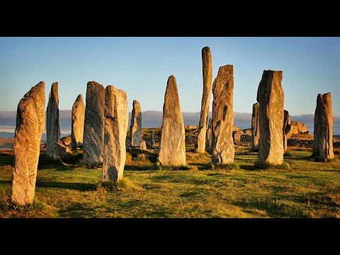
Callanish Stones
The Callanish Stones (or "Callanish I": Scottish Gaelic: Clachan Chalanais or Tursachan Chalanais) are an arrangement of standing stones placed in a cruciform...

Callanish III
The Callanish III stone circle (Scottish Gaelic: Cnoc Fillibhir Bheag) is one of many megalithic structures around the better-known (and larger) Calanais...
Garynahine
Garynahine (Scottish Gaelic: Gearraidh na h-aibhne) is a settlement on Lewis, in the Outer Hebrides, Scotland. Garynahine is situated at a T-junction where...
Garynahine Estate
Garynahine Estate (Scottish Gaelic: Gearraidh na h-aibhne) in Garynahine, a village on the Isle of Lewis, Outer Hebrides was owned by Sir James Matheson...

Eilean Chearstaidh
Eilean Kearstay (Scottish Gaelic: Eilean Chearstaigh) is an uninhabited island in Loch Roag in the Outer Hebrides of Scotland. It lies south east of Great...

Callanish
Callanish (Scottish Gaelic: Calanais) is a village (township) on the west side of the Isle of Lewis, in the Outer Hebrides (Western Isles), Scotland. Callanish...
Related Videos
Callanish Stone Circle Photography: A Guide to the Best Lighting Conditions
The Callanish Stone Circle, with its imposing standing stones and mystical aura, has captivated photographers for centuries.
Callanish 2
The Callanish II Stone Circle, known in Gaelic as Cnoc Ceann a'Ghàrraidh, is one of many megalithic structures close to the main ...

Callanish Standing Stones With Music On History Visit To Isle Of Lewis Outer Hebrides Scotland
Tour Scotland short 4K travel video clip, with Scottish music, of Callanish Standing Stones circle on ancestry visit to Isle Of Lewis ...
Callanish Standing Stones Circle On History Visit To Isle Of Lewis Outer Hebrides Scotland
Tour Scotland 4K travel video, with Scottish music, of Callanish Standing Stones Circle on ancestry, history visit to Isle Of Lewis in ...
Nearby Amenities
Located within 500m of 58.158291,-6.7581101Have you been to Cnoc na Faoghalach Tioraim?
Leave your review of Cnoc na Faoghalach Tioraim below (or comments, questions and feedback).