Àird Chòinnich
Landscape Feature in Ross-shire
Scotland
Àird Chòinnich
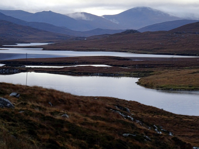
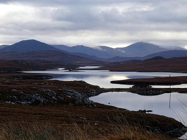
Àird Chòinnich, located in Ross-shire, Scotland, is a prominent landscape feature that holds both historical and ecological significance. This elevated point is situated on the eastern side of Lochalsh, overlooking the picturesque village of Plockton.
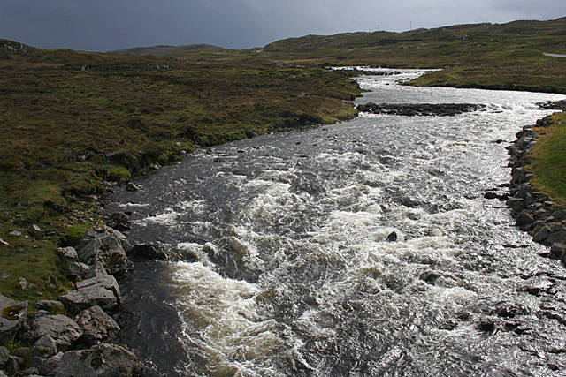
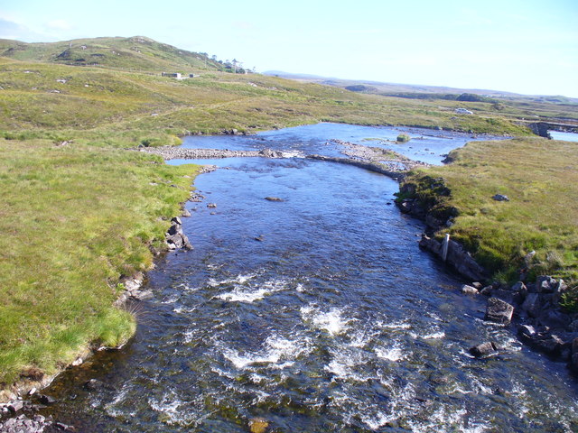
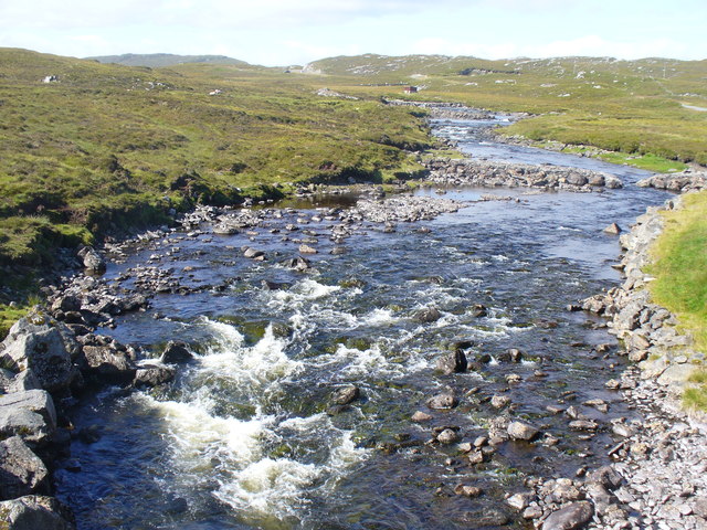
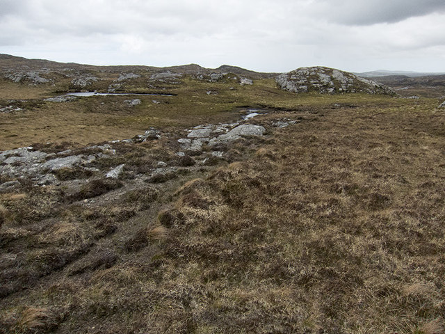
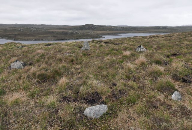
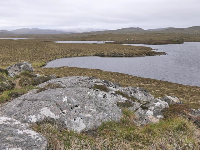
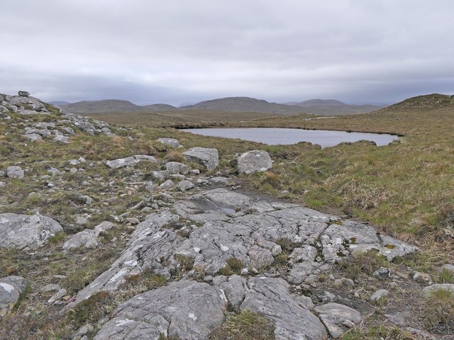
The landscape of Àird Chòinnich is characterized by its rugged terrain and stunning panoramic views. The area is dominated by towering cliffs, steep slopes, and scattered rocky outcrops. These geological features provide a habitat for a diverse range of plant and animal species, making it a site of natural importance.
The historical significance of Àird Chòinnich is evident through the presence of ancient ruins and archaeological remains. The remains of an Iron Age fort can be found on the summit of the elevated point, offering insights into the region's rich cultural heritage.
The panoramic views from Àird Chòinnich are truly breathtaking. On a clear day, visitors can enjoy sweeping vistas of the surrounding mountains, including the majestic peaks of the Isle of Skye. The combination of dramatic landscapes and stunning views make this location a popular destination for hikers, photographers, and nature enthusiasts.
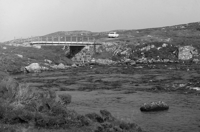
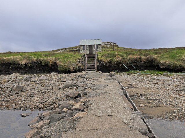
Access to Àird Chòinnich is relatively easy, with a well-maintained footpath leading to the summit. The site offers ample parking facilities and is conveniently located within a short distance from Plockton, allowing for easy exploration of the area.
Overall, Àird Chòinnich in Ross-shire is a landscape feature that boasts both natural beauty and historical significance, making it a must-visit destination for anyone seeking to immerse themselves in the stunning landscapes of the Scottish Highlands.
If you have any feedback on the listing, please let us know in the comments section below.
Àird Chòinnich Images
Images are sourced within 2km of 58.154298/-6.7609792 or Grid Reference NB2028. Thanks to Geograph Open Source API. All images are credited.


Àird Chòinnich is located at Grid Ref: NB2028 (Lat: 58.154298, Lng: -6.7609792)
Unitary Authority: Na h-Eileanan an Iar
Police Authority: Highlands and Islands
What 3 Words
///baseballs.drove.pocketed. Near Carloway, Na h-Eileanan Siar
Related Wikis

Callanish IV
The Callanish IV stone circle (Scottish Gaelic: Ceann Hulavig) is one of many megalithic structures around the better-known (and larger) Calanais I on...

Callanish II
The Callanish II stone circle (Scottish Gaelic: Cnoc Ceann a' Gharaidh) is one of many megalithic structures around the better-known (and larger) Calanais...

Callanish Stones
The Callanish Stones (or "Callanish I": Scottish Gaelic: Clachan Chalanais or Tursachan Chalanais) are an arrangement of standing stones placed in a cruciform...

Callanish III
The Callanish III stone circle (Scottish Gaelic: Cnoc Fillibhir Bheag) is one of many megalithic structures around the better-known (and larger) Calanais...

Eilean Chearstaidh
Eilean Kearstay (Scottish Gaelic: Eilean Chearstaigh) is an uninhabited island in Loch Roag in the Outer Hebrides of Scotland. It lies south east of Great...
Garynahine
Garynahine (Scottish Gaelic: Gearraidh na h-aibhne) is a settlement on Lewis, in the Outer Hebrides, Scotland. Garynahine is situated at a T-junction where...
Garynahine Estate
Garynahine Estate (Scottish Gaelic: Gearraidh na h-aibhne) in Garynahine, a village on the Isle of Lewis, Outer Hebrides was owned by Sir James Matheson...

Callanish
Callanish (Scottish Gaelic: Calanais) is a village (township) on the west side of the Isle of Lewis, in the Outer Hebrides (Western Isles), Scotland. Callanish...
Nearby Amenities
Located within 500m of 58.154298,-6.7609792Have you been to Àird Chòinnich?
Leave your review of Àird Chòinnich below (or comments, questions and feedback).