Cnoc Choisprig

Hill, Mountain in Argyllshire

Scotland

Cnoc Choisprig

Disused quarry at Rubha na h-Airde Mòire
Disused quarry at Rubha na h-Airde Mòire Credit: Mick Garratt

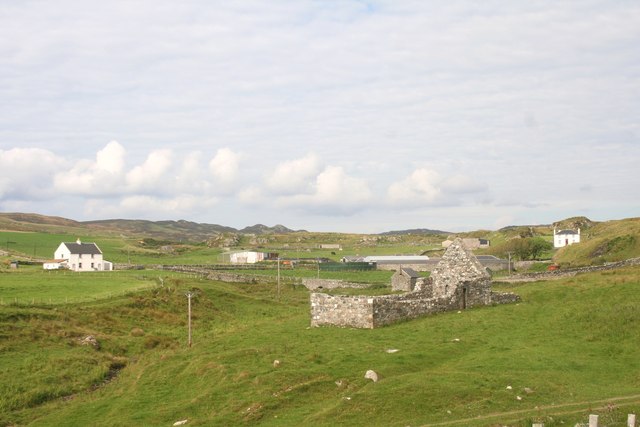
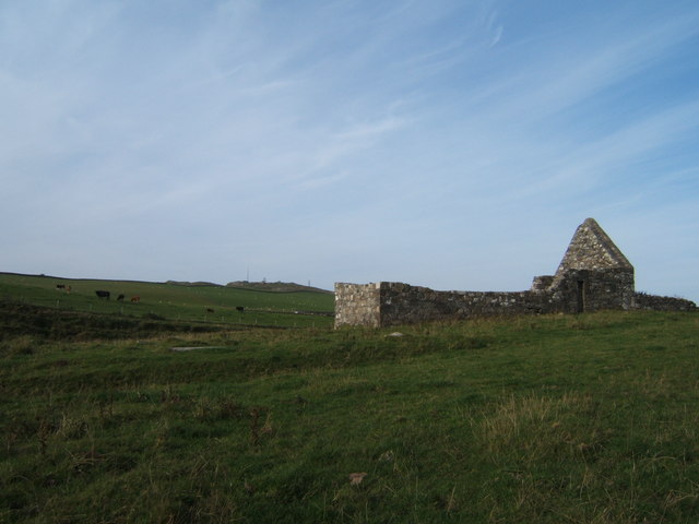
Cnoc Choisprig is a prominent hill located in Argyllshire, Scotland. Situated in the western region of the country, it offers stunning panoramic views of the surrounding landscape. Standing at an elevation of approximately 500 meters (1,640 feet), it is classified as a hill rather than a mountain.

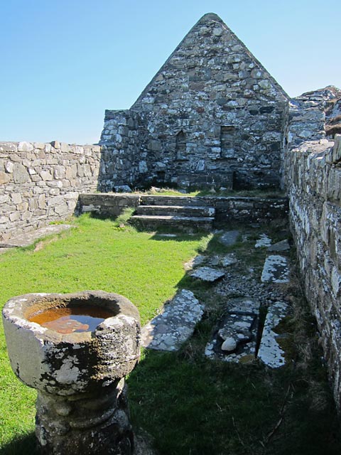
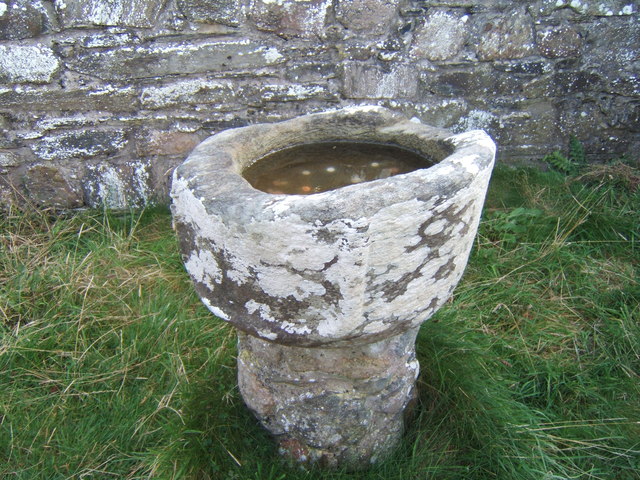
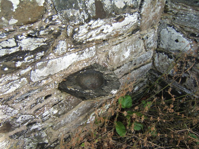
The hill is characterized by its gently sloping sides, covered in lush greenery during the warmer months. It is predominantly composed of sedimentary rocks, including sandstone and limestone, which have eroded over time to create interesting formations and crags along its slopes.

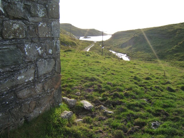
Cnoc Choisprig is a popular destination for hikers and nature enthusiasts. There are several well-marked trails that lead to the summit, offering varying levels of difficulty. The ascent typically takes a few hours, depending on the chosen route and the individual's level of fitness. Once at the top, visitors are rewarded with breathtaking vistas of the surrounding countryside, including nearby lochs, rolling hills, and distant mountains.

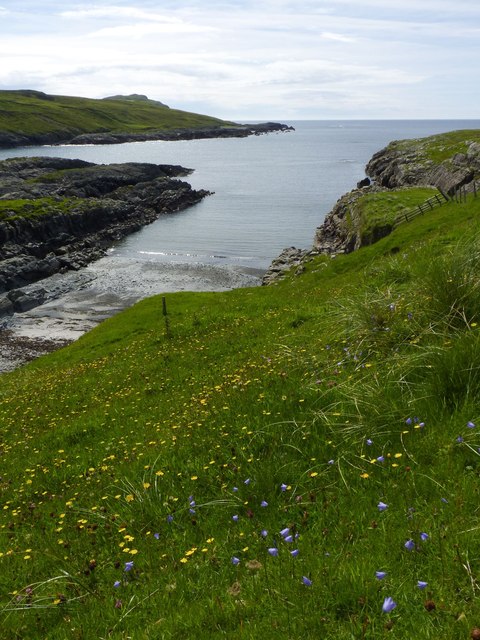
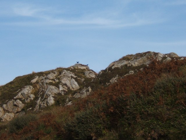
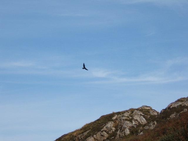
The hill is also home to a diverse range of flora and fauna. Wildflowers such as heather, bluebells, and primroses dot the landscape, providing a burst of color in the spring and summer months. Birdwatchers may spot various species, including golden eagles, peregrine falcons, and red grouse, among others.

Overall, Cnoc Choisprig offers visitors a chance to immerse themselves in the natural beauty of the Argyllshire countryside, with its picturesque views, diverse wildlife, and enjoyable hiking opportunities.

If you have any feedback on the listing, please let us know in the comments section below.

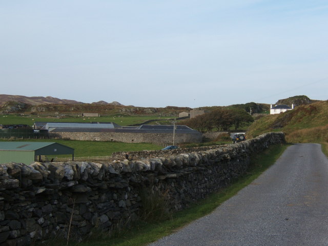
Cnoc Choisprig Images

Images are sourced within 2km of 55.746404/-6.4726874 or Grid Reference NR1959. Thanks to Geograph Open Source API. All images are credited.

Disused quarry at Rubha na h-Airde Mòire
Kilchiaran Bay
Kilchiaran Bay
Disused military buildings
Kilchiaran Bay, Islay With ruined chapel in distance.
Kilchiaran Bay, Islay
With ruined chapel in distance.
Cill Chiarain The church of Saint Ciaron, this church originates from around 1200.
Cill Chiarain
The church of Saint Ciaron, this church originates from around 1200.
Kilchiaran Farm The farmstead of Kilchiaran on the Rinns of Islay.
Kilchiaran Farm
The farmstead of Kilchiaran on the Rinns of Islay.
Road to Kilchiaran The road passing through high banks close to Kilchiaran.
Road to Kilchiaran
The road passing through high banks close to Kilchiaran.
Road by Cnoc Farragain, Islay
Kilchiaran chapel Enough remains inside the chapel to visualise it as a place of worship. The mediaeval font is near the west wall and there are still recesses in the east wall behind the reconstructed altar.
Kilchiaran chapel
Enough remains inside the chapel to visualise it as a place of worship. The mediaeval font is near the west wall and there are still recesses in the east wall behind the reconstructed altar.
Harebells at Kilchiaran, Islay
Kilchiaran Chapel Restoration in the early 1970s saved this remote chapel from complete ruination.
Kilchiaran Chapel
Restoration in the early 1970s saved this remote chapel from complete ruination.
View to Kilchiaran Bay from the chapel
Ancient font on a modern base The font at Kilchiaran was raised on a new base in the early 1970s.
Ancient font on a modern base
The font at Kilchiaran was raised on a new base in the early 1970s.
Ancient piscina, Kilchiaran Chapel Shallow dish for the washing of holy vessels, in the wall near where once the altar would have been.
Ancient piscina, Kilchiaran Chapel
Shallow dish for the washing of holy vessels, in the wall near where once the altar would have been.
Pair of choughs on the crags by Kilchiaran The chough is on the RSPB amber list, see <span class="nowrap"><a title="http://www.rspb.org.uk/wildlife/birdguide/name/c/chough/index.aspx" rel="nofollow ugc noopener" href="http://www.rspb.org.uk/wildlife/birdguide/name/c/chough/index.aspx">Link</a><img style="margin-left:2px;" alt="External link" title="External link - shift click to open in new window" src="https://s1.geograph.org.uk/img/external.png" width="10" height="10"/></span> . Kilchiaran Farm is involved in a scheme to encourage the birds to flourish on Islay, see <a href="https://www.geograph.org.uk/photo/700160">NR2060 : Kilchiaran Farm Information Board</a>.
Pair of choughs on the crags by Kilchiaran
The chough is on the RSPB amber list, see LinkExternal link . Kilchiaran Farm is involved in a scheme to encourage the birds to flourish on Islay, see NR2060 : Kilchiaran Farm Information Board.
Chough in flight, Kilchiaran The chough is not a common bird, and is being encouraged to flourish on Islay - see <a href="https://www.geograph.org.uk/photo/3599538">NR2060 : Pair of choughs on the crags by Kilchiaran</a> for RSPB status and further details.
Chough in flight, Kilchiaran
The chough is not a common bird, and is being encouraged to flourish on Islay - see NR2060 : Pair of choughs on the crags by Kilchiaran for RSPB status and further details.
Kilchiaran The farm and nearby housing at Kilchiaran.
Kilchiaran
The farm and nearby housing at Kilchiaran.
Looking towards Coul Point from south of Machir Bay, Islay
Show me another place!

Cnoc Choisprig is located at Grid Ref: NR1959 (Lat: 55.746404, Lng: -6.4726874)

Unitary Authority: Argyll and Bute

Police Authority: Argyll and West Dunbartonshire

What 3 Words

///jacket.courier.heckler. Near Port Charlotte, Argyll & Bute

Related Wikis

Rinns of Islay

The Rinns of Islay (Scottish Gaelic: Na Roinn Ìleach; alternative English spelling Rhinns of Islay) is an area on the west of the island of Islay in the...

RAF Kilchiaran

RAF Kilchiaran was a Royal Air Force radar station situated on the Isle of Islay in Scotland. It was originally active from 1940-1945. In 1954 the base...

Kilchoman

Kilchoman ( kil-(K)HOM-ən; Scottish Gaelic: Cill Chomain [kʲʰiːʎ ˈxɔmɛɲ]) is a small settlement and large parish on the Scottish island of Islay, within...

Kilchoman distillery

Kilchoman distillery (pronounced Kil-ho-man) is a distillery that produces single malt Scotch whisky on Islay, an island of the Inner Hebrides. Kilchoman...

Nerabus

Nerabus (otherwise Nereabolls) is a hamlet in the west of the isle of Islay in Scotland. The vicinity is noted for its scenic qualities and diverse birdlife...

Clark Cottage

Clark Cottage is a residential building in the Scottish village of Port Charlotte on the island of Islay. The building is on the eastern side of Main Street...

Port Charlotte distillery

Port Charlotte distillery (also known as Rhins distillery and Lochindaal distillery) was a Scotch whisky distillery on the island of Islay, off the west...

Port Charlotte, Islay

Port Charlotte (Scottish Gaelic: Port Sgioba) is a village on the island of Islay in the Inner Hebrides, Scotland. It was founded in 1828. In 1991 it...

Nearby Amenities

Located within 500m of 55.746404,-6.4726874
Source: PGS
Lat/Long: 55.7477001/-6.4785078
The data included in this document is from www.openstreetmap.org. The data is made available under ODbL.

Have you been to Cnoc Choisprig?

Leave your review of Cnoc Choisprig below (or comments, questions and feedback).