Beinneag Mhòr

Hill, Mountain in Argyllshire

Scotland

Beinneag Mhòr

Disused quarry at Rubha na h-Airde Mòire
Disused quarry at Rubha na h-Airde Mòire Credit: Mick Garratt

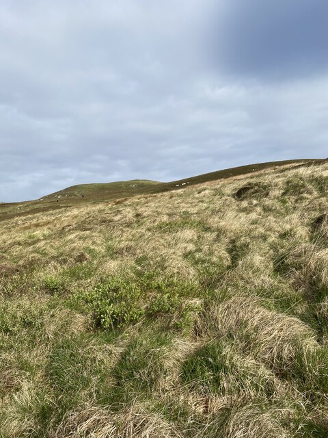
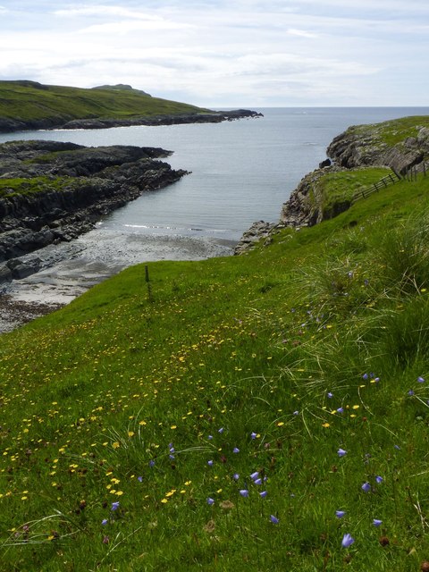
Beinneag Mhòr is a prominent hill located in Argyllshire, Scotland. Standing at an elevation of approximately 625 meters (2,051 feet), it offers stunning panoramic views of the surrounding landscape. The hill is situated in a remote and rugged area, characterized by its wild beauty and unspoiled nature.

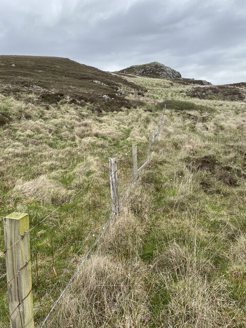
Beinneag Mhòr boasts a distinctive shape, with steep slopes and a pointed summit. Its slopes are covered in a tapestry of heather, grasses, and mosses, creating a vibrant and colorful landscape, especially during the summer months. The hill is also home to a variety of native wildlife, including red deer, mountain hares, and birds of prey, making it a popular destination for nature enthusiasts and wildlife photographers.

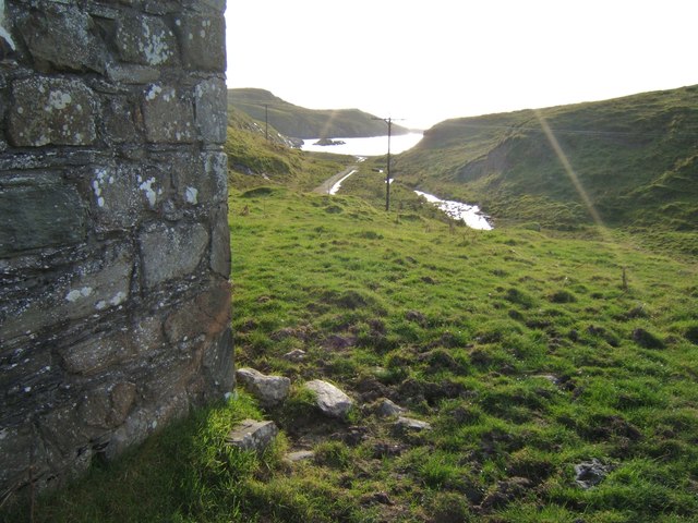
Reaching the summit of Beinneag Mhòr requires a moderate level of fitness and hiking experience. There are several routes to choose from, each offering a different challenge and scenery. As hikers ascend, they are rewarded with breathtaking views of the surrounding mountains, glens, and lochs, including Loch Awe and Loch Fyne.

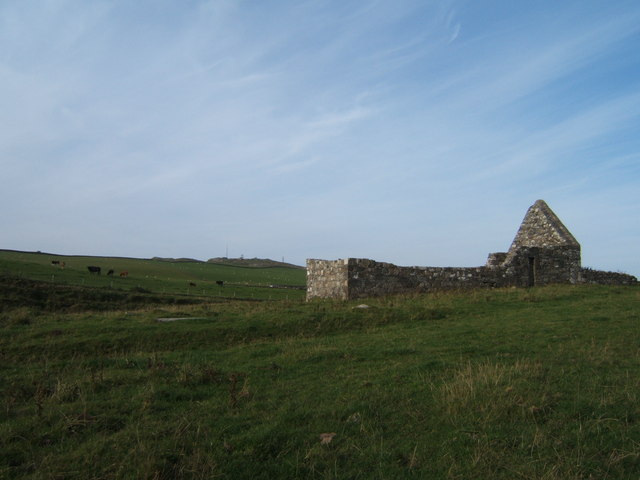
Beinneag Mhòr is also rich in history and folklore. It is believed to have played a significant role in ancient Celtic rituals and is associated with local legends and myths. The hill has inspired many artists and writers over the years, who have captured its beauty in their works.

Overall, Beinneag Mhòr is a captivating and picturesque hill, offering a memorable experience for those who venture to explore its slopes. Its stunning vistas, diverse wildlife, and cultural significance make it a must-visit destination for outdoor enthusiasts and anyone seeking to connect with the natural wonders of Scotland.

If you have any feedback on the listing, please let us know in the comments section below.

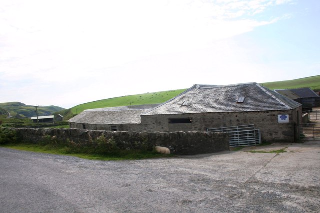
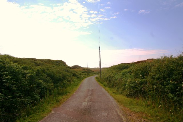
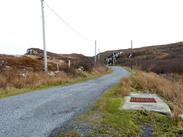
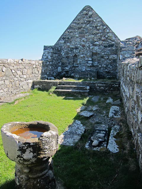
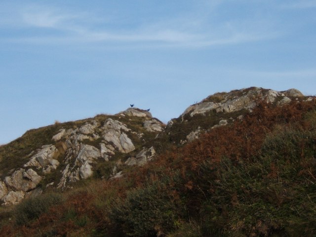
Beinneag Mhòr Images

Images are sourced within 2km of 55.743319/-6.4684908 or Grid Reference NR1959. Thanks to Geograph Open Source API. All images are credited.

Disused quarry at Rubha na h-Airde Mòire
Kilchiaran Bay
Kilchiaran Bay
Disused military buildings
Moorland on the way to Beinn Seasaimh
Remains of fenceline
ATV bridge?
ATV bridge?
Kilchiaran Bay, Islay With ruined chapel in distance.
Kilchiaran Bay, Islay
With ruined chapel in distance.
Cill Chiarain The church of Saint Ciaron, this church originates from around 1200.
Cill Chiarain
The church of Saint Ciaron, this church originates from around 1200.
Kilchiaran Farm The farmstead of Kilchiaran on the Rinns of Islay.
Kilchiaran Farm
The farmstead of Kilchiaran on the Rinns of Islay.
Road to Kilchiaran The road passing through high banks close to Kilchiaran.
Road to Kilchiaran
The road passing through high banks close to Kilchiaran.
Road by Cnoc Farragain, Islay
Kilchiaran chapel Enough remains inside the chapel to visualise it as a place of worship. The mediaeval font is near the west wall and there are still recesses in the east wall behind the reconstructed altar.
Kilchiaran chapel
Enough remains inside the chapel to visualise it as a place of worship. The mediaeval font is near the west wall and there are still recesses in the east wall behind the reconstructed altar.
Harebells at Kilchiaran, Islay
Kilchiaran Chapel Restoration in the early 1970s saved this remote chapel from complete ruination.
Kilchiaran Chapel
Restoration in the early 1970s saved this remote chapel from complete ruination.
View to Kilchiaran Bay from the chapel
Ancient font on a modern base The font at Kilchiaran was raised on a new base in the early 1970s.
Ancient font on a modern base
The font at Kilchiaran was raised on a new base in the early 1970s.
Ancient piscina, Kilchiaran Chapel Shallow dish for the washing of holy vessels, in the wall near where once the altar would have been.
Ancient piscina, Kilchiaran Chapel
Shallow dish for the washing of holy vessels, in the wall near where once the altar would have been.
Pair of choughs on the crags by Kilchiaran The chough is on the RSPB amber list, see <span class="nowrap"><a title="http://www.rspb.org.uk/wildlife/birdguide/name/c/chough/index.aspx" rel="nofollow ugc noopener" href="http://www.rspb.org.uk/wildlife/birdguide/name/c/chough/index.aspx">Link</a><img style="margin-left:2px;" alt="External link" title="External link - shift click to open in new window" src="https://s1.geograph.org.uk/img/external.png" width="10" height="10"/></span> . Kilchiaran Farm is involved in a scheme to encourage the birds to flourish on Islay, see <a href="https://www.geograph.org.uk/photo/700160">NR2060 : Kilchiaran Farm Information Board</a>.
Pair of choughs on the crags by Kilchiaran
The chough is on the RSPB amber list, see LinkExternal link . Kilchiaran Farm is involved in a scheme to encourage the birds to flourish on Islay, see NR2060 : Kilchiaran Farm Information Board.
Show me another place!

Beinneag Mhòr is located at Grid Ref: NR1959 (Lat: 55.743319, Lng: -6.4684908)

Unitary Authority: Argyll and Bute

Police Authority: Argyll and West Dunbartonshire

What 3 Words

///attracts.dandelions.tributes. Near Port Charlotte, Argyll & Bute

Related Wikis

Rinns of Islay

The Rinns of Islay (Scottish Gaelic: Na Roinn Ìleach; alternative English spelling Rhinns of Islay) is an area on the west of the island of Islay in the...

RAF Kilchiaran

RAF Kilchiaran was a Royal Air Force radar station situated on the Isle of Islay in Scotland. It was originally active from 1940-1945. In 1954 the base...

Kilchoman

Kilchoman ( kil-(K)HOM-ən; Scottish Gaelic: Cill Chomain [kʲʰiːʎ ˈxɔmɛɲ]) is a small settlement and large parish on the Scottish island of Islay, within...

Nerabus

Nerabus (otherwise Nereabolls) is a hamlet in the west of the isle of Islay in Scotland. The vicinity is noted for its scenic qualities and diverse birdlife...

Kilchoman distillery

Kilchoman distillery (pronounced Kil-ho-man) is a distillery that produces single malt Scotch whisky on Islay, an island of the Inner Hebrides. Kilchoman...

Clark Cottage

Clark Cottage is a residential building in the Scottish village of Port Charlotte on the island of Islay. The building is on the eastern side of Main Street...

Easter Ellister

Easter Ellister (Aolastradh) is a settlement on the Rinns of Islay on Islay in the Inner Hebrides of Scotland. It lies just off the A847 road between Portnahaven...

Port Charlotte distillery

Port Charlotte distillery (also known as Rhins distillery and Lochindaal distillery) was a Scotch whisky distillery on the island of Islay, off the west...

Nearby Amenities

Located within 500m of 55.743319,-6.4684908
Torisdale Coft Crafts
Shop: gift
Lat/Long: 55.7409867/-6.4721664
Tormisdale
Name Gd: Tormasdadh
Name Non: Ormsdalr
Place: locality
Lat/Long: 55.740866/-6.4726196
Power: pole
Lat/Long: 55.7398784/-6.4722714
Power: pole
Lat/Long: 55.7425883/-6.461943
Power: pole
Lat/Long: 55.7445586/-6.4613915
Power: pole
Lat/Long: 55.7389011/-6.4697841
Power: pole
Lat/Long: 55.739324/-6.4714478
Power: pole
Lat/Long: 55.7396016/-6.4718602
Power: pole
Lat/Long: 55.740621/-6.4625288
Power: pole
Lat/Long: 55.7411641/-6.4623671
Power: pole
Lat/Long: 55.7417156/-6.4622029
Power: pole
Lat/Long: 55.7432551/-6.4617853
Power: pole
Lat/Long: 55.7439054/-6.4615889
Power: pole
Lat/Long: 55.7462927/-6.4626325
Power: pole
Lat/Long: 55.7457527/-6.462246
Power: pole
Lat/Long: 55.7451427/-6.4618095
The data included in this document is from www.openstreetmap.org. The data is made available under ODbL.

Have you been to Beinneag Mhòr?

Leave your review of Beinneag Mhòr below (or comments, questions and feedback).