Carraig a' Choirtein Mhìn

Coastal Feature, Headland, Point in Argyllshire

Scotland

Carraig a' Choirtein Mhìn

Disused quarry at Rubha na h-Airde Mòire
Disused quarry at Rubha na h-Airde Mòire Credit: Mick Garratt

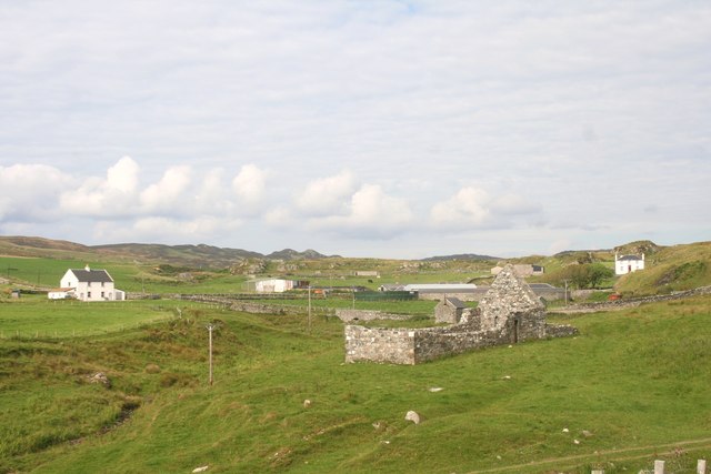
Carraig a' Choirtein Mhìn, located in Argyllshire, is a prominent coastal feature known for its stunning headland and point. Situated on the western coast of Scotland, this picturesque area showcases the natural beauty of the region.

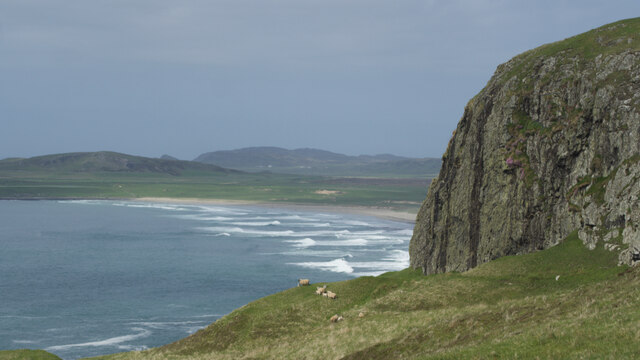
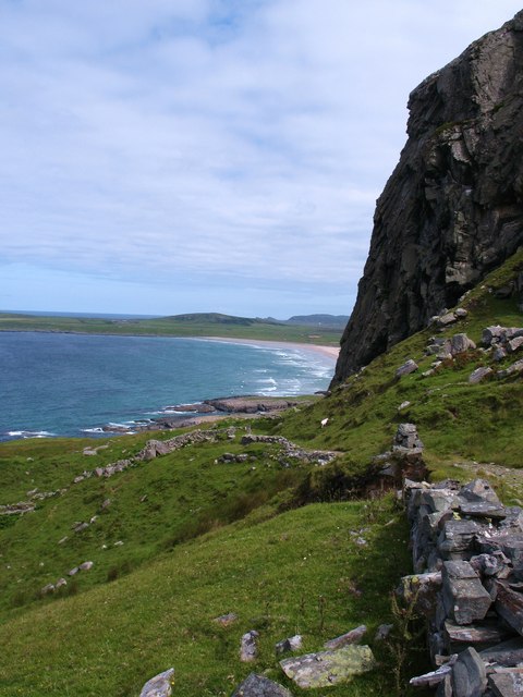
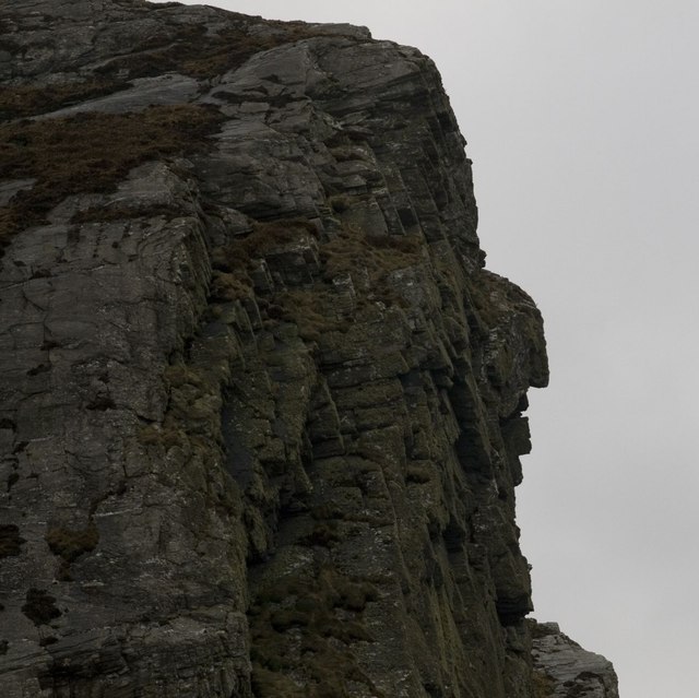
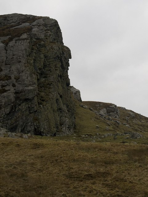
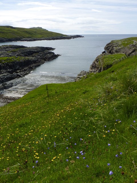
Carraig a' Choirtein Mhìn is renowned for its rugged cliffs that rise dramatically from the sea, offering breathtaking panoramic views of the surrounding landscape. The headland is characterized by its steep slopes, which provide a natural barrier against the crashing waves of the Atlantic Ocean. The point extends out into the ocean, forming a distinct and striking feature on the coastline.

The area around Carraig a' Choirtein Mhìn is rich in biodiversity, with a diverse range of flora and fauna inhabiting the region. The cliffs provide nesting sites for various seabirds, including gannets, puffins, and guillemots. Visitors to the area can observe these magnificent creatures in their natural habitat, adding to the allure of the location.

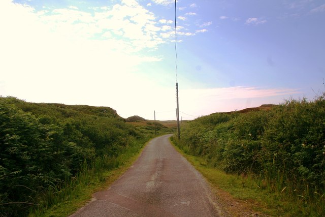
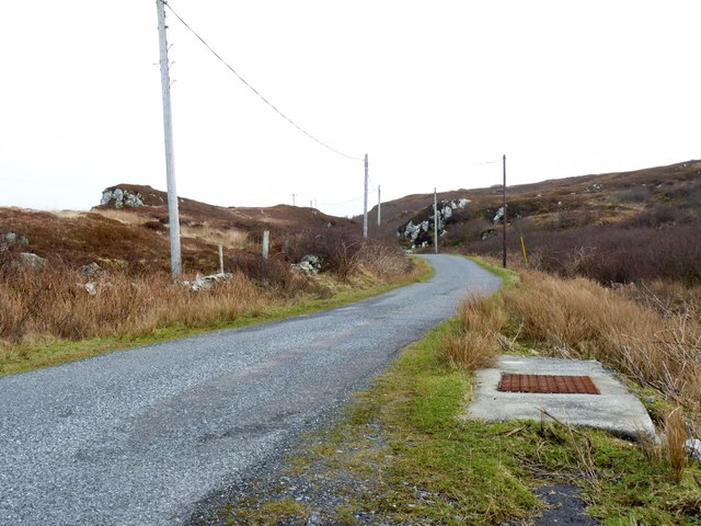
The coastline surrounding Carraig a' Choirtein Mhìn offers opportunities for outdoor activities such as hiking, birdwatching, and photography. The rugged terrain and stunning vistas make it a popular destination for nature enthusiasts and adventurers seeking a unique and immersive experience.

Overall, Carraig a' Choirtein Mhìn stands as a testament to the raw beauty of the Scottish coastline. Its striking headland and point, coupled with its diverse wildlife and recreational opportunities, make it a must-visit location for those seeking to immerse themselves in the natural wonders of Argyllshire.

If you have any feedback on the listing, please let us know in the comments section below.

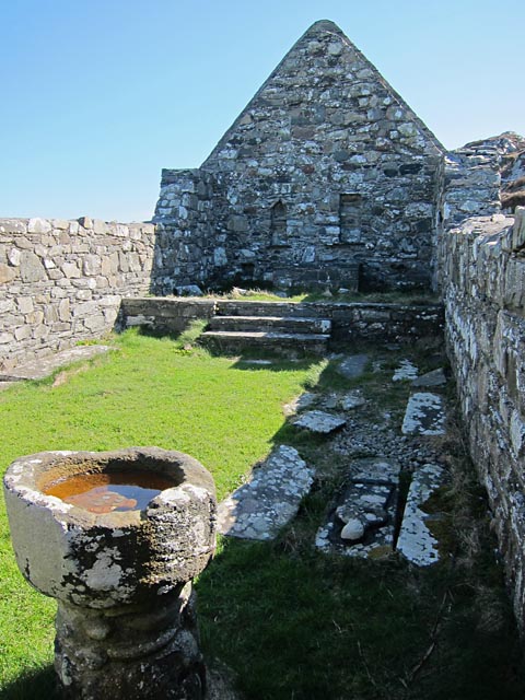
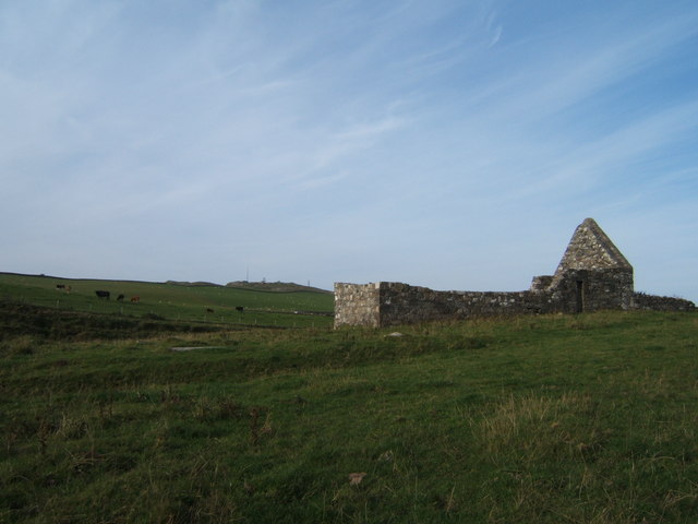
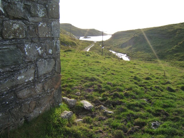
Carraig a' Choirtein Mhìn Images

Images are sourced within 2km of 55.750308/-6.4704556 or Grid Reference NR1959. Thanks to Geograph Open Source API. All images are credited.

Disused quarry at Rubha na h-Airde Mòire
Kilchiaran Bay
Kilchiaran Bay
Creag Bealach na Caillich — Granny's Crag
Disused military buildings
Kilchiaran Bay, Islay With ruined chapel in distance.
Kilchiaran Bay, Islay
With ruined chapel in distance.
Old Woman's Pass Old Woman's Pass is the name given to this old track which crosses the headland between Kilchoman and Kilchiaran. The splendid view northwards is along the beach at Machir Bay.
Old Woman's Pass
Old Woman's Pass is the name given to this old track which crosses the headland between Kilchoman and Kilchiaran. The splendid view northwards is along the beach at Machir Bay.
Cill Chiarain The church of Saint Ciaron, this church originates from around 1200.
Cill Chiarain
The church of Saint Ciaron, this church originates from around 1200.
Kilchiaran Farm The farmstead of Kilchiaran on the Rinns of Islay.
Kilchiaran Farm
The farmstead of Kilchiaran on the Rinns of Islay.
Road to Kilchiaran The road passing through high banks close to Kilchiaran.
Road to Kilchiaran
The road passing through high banks close to Kilchiaran.
Granny Rock The profile of an old woman or 'Caillich' can be seen on this rock between Machir Bay and Kilchiaran. It is best viewed from the north. For a context photo, see <a href="https://www.geograph.org.uk/photo/2802956">NR2061 : Granny Rock, Islay</a>.
Granny Rock
The profile of an old woman or 'Caillich' can be seen on this rock between Machir Bay and Kilchiaran. It is best viewed from the north. For a context photo, see NR2061 : Granny Rock, Islay.
Granny Rock, Islay The profile of an old woman or 'Caillich' can be seen in this rock face between Machir Bay to the north and Kilchiaran to the south. It is best viewed from the north. For a closer picture, see <a href="https://www.geograph.org.uk/photo/2802952">NR2061 : Granny Rock</a>.
Granny Rock, Islay
The profile of an old woman or 'Caillich' can be seen in this rock face between Machir Bay to the north and Kilchiaran to the south. It is best viewed from the north. For a closer picture, see NR2061 : Granny Rock.
Road by Cnoc Farragain, Islay
Kilchiaran chapel Enough remains inside the chapel to visualise it as a place of worship. The mediaeval font is near the west wall and there are still recesses in the east wall behind the reconstructed altar.
Kilchiaran chapel
Enough remains inside the chapel to visualise it as a place of worship. The mediaeval font is near the west wall and there are still recesses in the east wall behind the reconstructed altar.
Ploughing at Kilchiaran Plenty of work on the farm in spring!
Ploughing at Kilchiaran
Plenty of work on the farm in spring!
Harebells at Kilchiaran, Islay
Kilchiaran Chapel Restoration in the early 1970s saved this remote chapel from complete ruination.
Kilchiaran Chapel
Restoration in the early 1970s saved this remote chapel from complete ruination.
View to Kilchiaran Bay from the chapel
Ancient font on a modern base The font at Kilchiaran was raised on a new base in the early 1970s.
Ancient font on a modern base
The font at Kilchiaran was raised on a new base in the early 1970s.
Show me another place!

Carraig a' Choirtein Mhìn is located at Grid Ref: NR1959 (Lat: 55.750308, Lng: -6.4704556)

Unitary Authority: Argyll and Bute

Police Authority: Argyll and West Dunbartonshire

What 3 Words

///hoping.cork.workbench. Near Port Charlotte, Argyll & Bute

Related Wikis

RAF Kilchiaran

RAF Kilchiaran was a Royal Air Force radar station situated on the Isle of Islay in Scotland. It was originally active from 1940-1945. In 1954 the base...

Rinns of Islay

The Rinns of Islay (Scottish Gaelic: Na Roinn Ìleach; alternative English spelling Rhinns of Islay) is an area on the west of the island of Islay in the...

Kilchoman

Kilchoman ( kil-(K)HOM-ən; Scottish Gaelic: Cill Chomain [kʲʰiːʎ ˈxɔmɛɲ]) is a small settlement and large parish on the Scottish island of Islay, within...

Kilchoman distillery

Kilchoman distillery (pronounced Kil-ho-man) is a distillery that produces single malt Scotch whisky on Islay, an island of the Inner Hebrides. Kilchoman...

Nerabus

Nerabus (otherwise Nereabolls) is a hamlet in the west of the isle of Islay in Scotland. The vicinity is noted for its scenic qualities and diverse birdlife...

HMS Graph

HMS Graph (pennant number P715) was a German Type VIIC U-boat that the British Royal Navy captured during World War II. Commissioned as U-570 in Nazi Germany...

Clark Cottage

Clark Cottage is a residential building in the Scottish village of Port Charlotte on the island of Islay. The building is on the eastern side of Main Street...

Port Charlotte distillery

Port Charlotte distillery (also known as Rhins distillery and Lochindaal distillery) was a Scotch whisky distillery on the island of Islay, off the west...

Nearby Amenities

Located within 500m of 55.750308,-6.4704556
Kilchiaran Bay
Natural: bay
Lat/Long: 55.7516749/-6.4671698
Power: pole
Lat/Long: 55.7487318/-6.4633801
Power: pole
Lat/Long: 55.7492939/-6.4628852
Power: pole
Lat/Long: 55.7481178/-6.4639089
Port Uamh nan Eun
Natural: bay
Lat/Long: 55.7508025/-6.4635482
Port Meadhoin
Natural: bay
Lat/Long: 55.7527886/-6.464295
Port a' Bhata
Natural: bay
Lat/Long: 55.7532474/-6.4672776
Port na h-Uamha Ruaidhe
Natural: bay
Lat/Long: 55.7505907/-6.4686509
The data included in this document is from www.openstreetmap.org. The data is made available under ODbL.

Have you been to Carraig a' Choirtein Mhìn?

Leave your review of Carraig a' Choirtein Mhìn below (or comments, questions and feedback).