Cnoc Àrd Sheasgair
Hill, Mountain in Ross-shire
Scotland
Cnoc Àrd Sheasgair

Cnoc Àrd Sheasgair, located in Ross-shire, Scotland, is a prominent hill that offers breathtaking views and a challenging hiking experience. With an elevation of approximately 1,150 feet (350 meters), it stands as a notable landmark in the region. The hill is situated within the expansive and picturesque Scottish Highlands, making it a popular destination for outdoor enthusiasts and nature lovers.
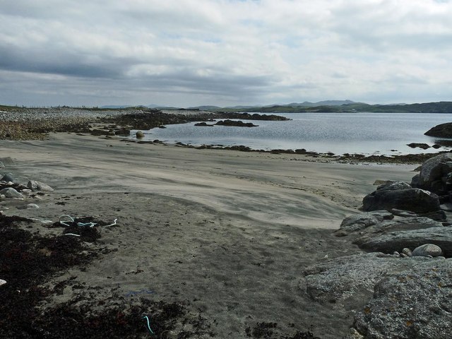
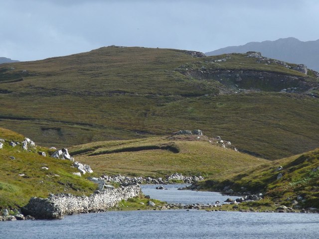
Cnoc Àrd Sheasgair is characterized by its steep slopes, rugged terrain, and rocky outcrops, which contribute to its unique and dramatic appearance. Its summit provides panoramic views of the surrounding landscape, including the nearby Loch Ewe and rolling hills stretching into the distance. On clear days, it is even possible to catch a glimpse of the stunning coastline and the Isle of Skye.
The hill is accessible via various hiking trails, with the most common starting point being the village of Aultbea. While the ascent can be challenging, it is achievable for most moderately fit individuals. Hikers are advised to come prepared with appropriate footwear, clothing, and provisions, as the weather conditions in the Scottish Highlands can be unpredictable.
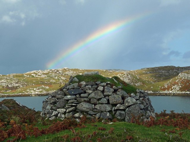
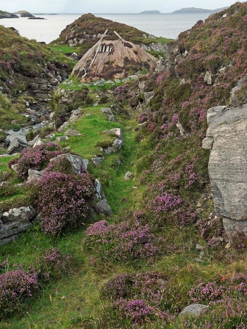
Cnoc Àrd Sheasgair is not only a haven for outdoor enthusiasts but also boasts a rich history and cultural significance. The surrounding area is dotted with ancient archaeological sites, such as standing stones and hill forts, which add to the sense of intrigue and fascination when exploring this captivating landscape.
Overall, Cnoc Àrd Sheasgair offers a rewarding and captivating experience for those seeking adventure, natural beauty, and a glimpse into Scotland's rich heritage.
If you have any feedback on the listing, please let us know in the comments section below.
Cnoc Àrd Sheasgair Images
Images are sourced within 2km of 58.22476/-6.8036134 or Grid Reference NB1836. Thanks to Geograph Open Source API. All images are credited.


Cnoc Àrd Sheasgair is located at Grid Ref: NB1836 (Lat: 58.22476, Lng: -6.8036134)
Unitary Authority: Na h-Eileanan an Iar
Police Authority: Highlands and Islands
What 3 Words
///smirking.charcoal.moon. Near Carloway, Na h-Eileanan Siar
Related Wikis

Ceabhaigh
Ceabhaigh is a small island in an arm of Loch Ròg on the west coast of Lewis in the Outer Hebrides of Scotland. It is about 25 hectares (62 acres) in extent...

Breaclete
Breacleit (or Roulanish; Scottish Gaelic: Breacleit; Old Norse: Breiðiklettr) is the central village on Great Bernera in the Outer Hebrides, Scotland....

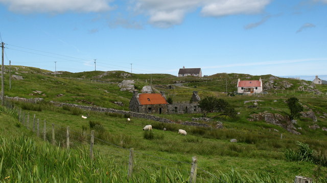
Tolsta Chaolais
Tolsta Chaolais (also Tolastadh Chaolais, Tolstadh a' Chaolais) is a village on the Isle of Lewis, Scotland. It consists of about forty houses, clustered...

Dun Bharabhat, Great Bernera
Dun Bharabhat (or Dun Baravat) is an Iron Age galleried dun or "semi-broch" situated on the island of Great Bernera near Lewis in Scotland (grid reference...
Related Videos

The Isle of Great Bernera
Great Bernera is a small island off the coast of a bigger island, the isle of Lewis. Recently, I've been staying on the isle of Lewis ...
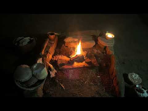
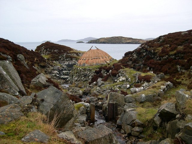
Great Bernera, Iron Age House
Great Bernera, Iron Age House, Bosta Beach. Outer Hebrides, Scotland.

Island Of Great Bernera On History Visit To The Outer Hebrides Of Scotland
Tour Scotland short travel video clip, with Scottish music, of the Island Of Great Bernera on ancestry, genealogy, history visit to the ...

A Hebridean Odyssey: Part 15 - Lewis: Great Bernera
This video is the fifteenth in a series that documents a trip taken in May 2022, in which we visited 16 of the Hebridean islands.
Nearby Amenities
Located within 500m of 58.22476,-6.8036134Have you been to Cnoc Àrd Sheasgair?
Leave your review of Cnoc Àrd Sheasgair below (or comments, questions and feedback).