Mullach Mòr
Hill, Mountain in Argyllshire
Scotland
Mullach Mòr
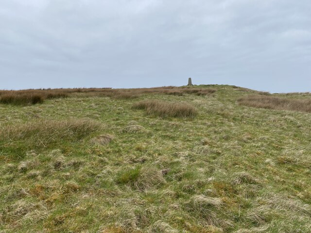
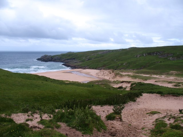
Mullach Mòr is a prominent hill located in Argyllshire, Scotland. It is part of the stunning landscape of the Scottish Highlands and stands at an elevation of approximately 867 meters (2,844 feet). The hill is situated in a remote and rugged area, offering breathtaking views of the surrounding countryside.
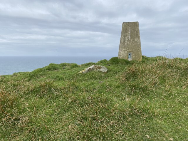
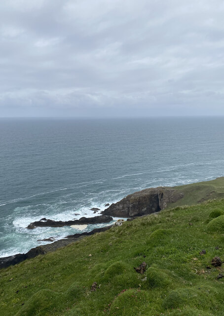
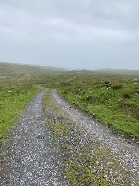
Mullach Mòr is known for its challenging hiking trails, attracting outdoor enthusiasts and nature lovers from all over. The ascent to the summit can be demanding, with steep and rocky sections, but the reward is well worth the effort. From the top, visitors are treated to panoramic vistas of the nearby lochs, glens, and mountains, including the iconic Ben Cruachan.
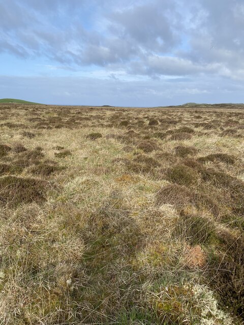
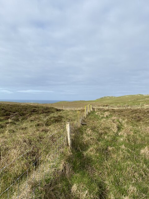
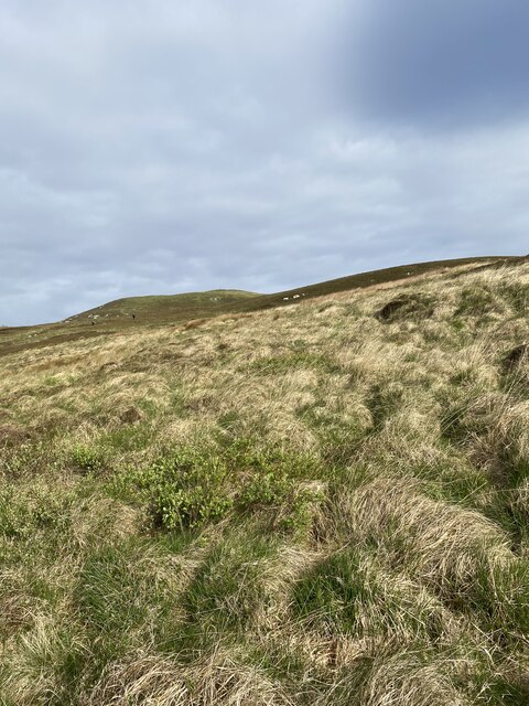
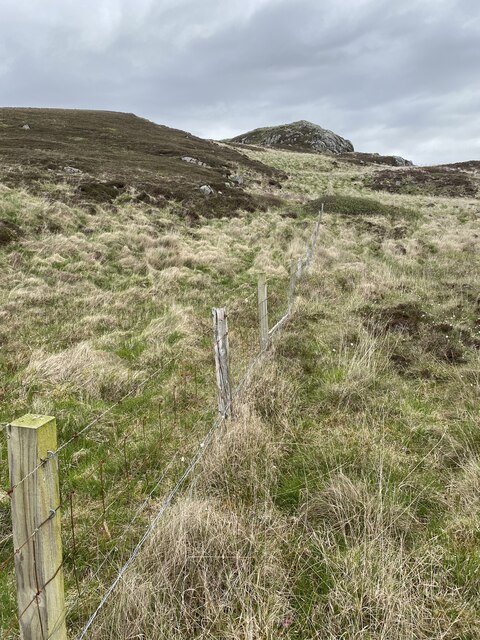
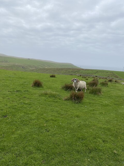
The hill is covered in a mixture of moorland, grass, and heather, providing a vibrant and colorful landscape throughout the seasons. The area is also home to a diverse range of wildlife, including red deer, golden eagles, and various species of birds.
Mullach Mòr is often a popular destination for climbers, who can take advantage of the challenging rock faces and cliffs found on its slopes. The hill's location within Argyllshire makes it easily accessible for those traveling from Glasgow or Oban, and there are several designated parking areas nearby.
For those looking to explore the Scottish Highlands and experience the beauty of nature, Mullach Mòr in Argyllshire offers a stunning and rewarding adventure. Whether it's hiking to the summit or simply enjoying the breathtaking scenery, this hill is a must-visit destination for anyone seeking an unforgettable outdoor experience.
If you have any feedback on the listing, please let us know in the comments section below.
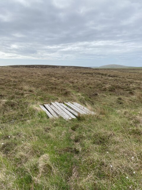
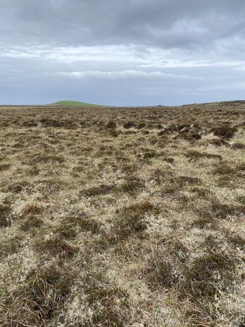
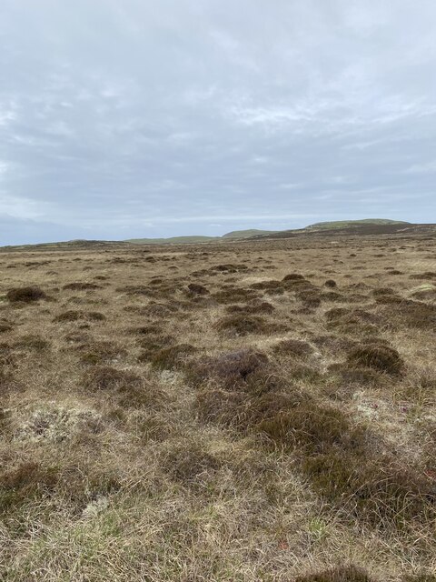
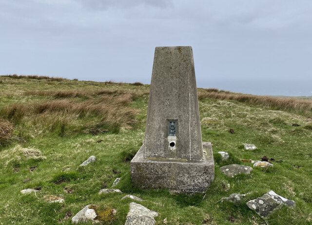
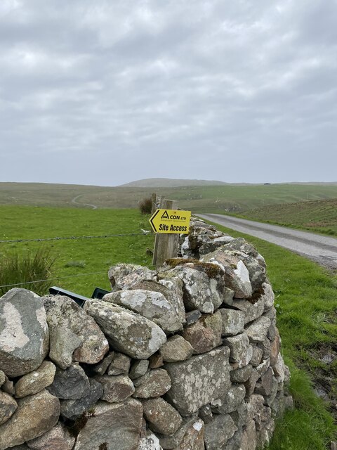
Mullach Mòr Images
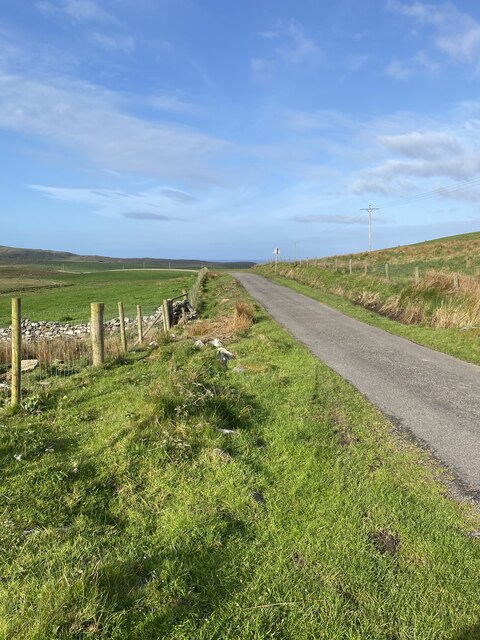
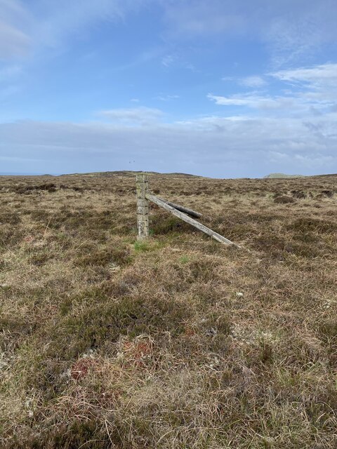
Images are sourced within 2km of 55.71917/-6.4905719 or Grid Reference NR1856. Thanks to Geograph Open Source API. All images are credited.
Mullach Mòr is located at Grid Ref: NR1856 (Lat: 55.71917, Lng: -6.4905719)
Unitary Authority: Argyll and Bute
Police Authority: Argyll and West Dunbartonshire
What 3 Words
///adopters.likewise.refills. Near Portnahaven, Argyll & Bute
Nearby Locations
Related Wikis

Easter Ellister
Easter Ellister (Aolastradh) is a settlement on the Rinns of Islay on Islay in the Inner Hebrides of Scotland. It lies just off the A847 road between Portnahaven...

Islay LIMPET
Islay LIMPET was the world's first commercial wave power device and was connected to the United Kingdom's National Grid. == History == Islay LIMPET (Land...

Rinns of Islay
The Rinns of Islay (Scottish Gaelic: Na Roinn Ìleach; alternative English spelling Rhinns of Islay) is an area on the west of the island of Islay in the...

Portnahaven
Portnahaven (Scottish Gaelic: Port na h-Abhainne, meaning river port) is a village on Islay in the Inner Hebrides, Scotland. The village is within the...
Nearby Amenities
Located within 500m of 55.71917,-6.4905719Have you been to Mullach Mòr?
Leave your review of Mullach Mòr below (or comments, questions and feedback).