Cnoc Àirigh Fhionnlaidh
Hill, Mountain in Ross-shire
Scotland
Cnoc Àirigh Fhionnlaidh

Cnoc Àirigh Fhionnlaidh is a prominent hill located in the county of Ross-shire, in the Highlands of Scotland. Standing at an elevation of approximately 357 meters (1,171 feet), it offers stunning panoramic views of the surrounding countryside.
The hill is situated near the picturesque village of Fionnlaidh, which is known for its tranquil atmosphere and natural beauty. Cnoc Àirigh Fhionnlaidh itself is a popular destination for hikers and outdoor enthusiasts, thanks to its easily accessible trails and diverse flora and fauna.
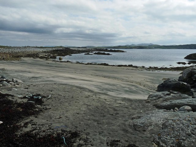
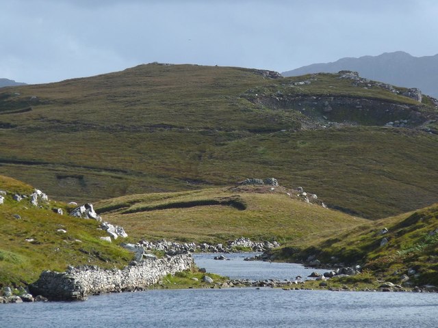
The hill is characterized by its heather-covered slopes and rocky outcrops, which provide a challenging yet rewarding climb for those who venture to its summit. From the top, visitors are treated to breathtaking vistas of the nearby Loch Broom, as well as the majestic peaks of the Scottish Highlands in the distance.
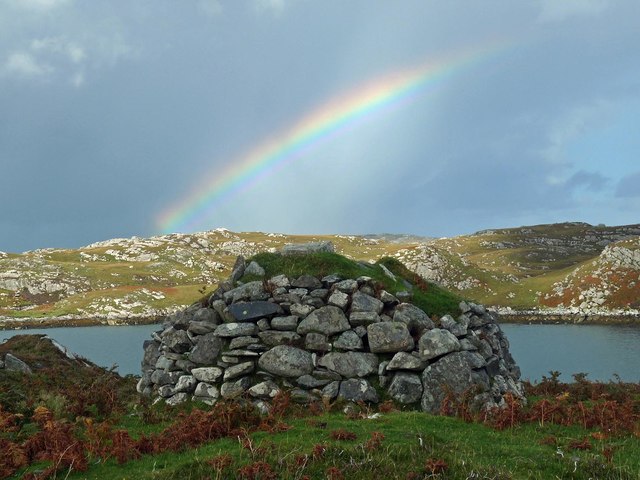
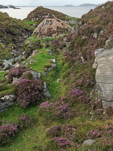
The area surrounding Cnoc Àirigh Fhionnlaidh is rich in history and folklore, with ancient ruins and archaeological sites scattered throughout the landscape. It is said to have been a sacred place for the local Pictish people, who inhabited the region centuries ago.
In addition to its natural and historical significance, Cnoc Àirigh Fhionnlaidh also serves as a habitat for a variety of wildlife. Birdwatchers can spot species such as golden eagles, buzzards, and red grouse, while red deer and mountain hares are commonly seen roaming the lower slopes.
Overall, Cnoc Àirigh Fhionnlaidh offers a unique and rewarding experience for outdoor enthusiasts, combining stunning scenery, rich history, and diverse wildlife.
If you have any feedback on the listing, please let us know in the comments section below.
Cnoc Àirigh Fhionnlaidh Images
Images are sourced within 2km of 58.224014/-6.8019266 or Grid Reference NB1836. Thanks to Geograph Open Source API. All images are credited.


Cnoc Àirigh Fhionnlaidh is located at Grid Ref: NB1836 (Lat: 58.224014, Lng: -6.8019266)
Unitary Authority: Na h-Eileanan an Iar
Police Authority: Highlands and Islands
What 3 Words
///flagpole.windy.fractions. Near Carloway, Na h-Eileanan Siar
Related Wikis

Ceabhaigh
Ceabhaigh is a small island in an arm of Loch Ròg on the west coast of Lewis in the Outer Hebrides of Scotland. It is about 25 hectares (62 acres) in extent...

Breaclete
Breacleit (or Roulanish; Scottish Gaelic: Breacleit; Old Norse: Breiðiklettr) is the central village on Great Bernera in the Outer Hebrides, Scotland....

Tolsta Chaolais
Tolsta Chaolais (also Tolastadh Chaolais, Tolstadh a' Chaolais) is a village on the Isle of Lewis, Scotland. It consists of about forty houses, clustered...

Callanish VIII
The Callanish VIII stone setting is one of many megalithic structures around the better-known (and larger) Calanais I on the west coast of the Isle of...
Related Videos

The Isle of Great Bernera
Great Bernera is a small island off the coast of a bigger island, the isle of Lewis. Recently, I've been staying on the isle of Lewis ...
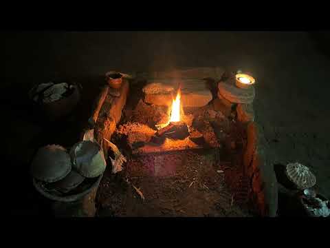
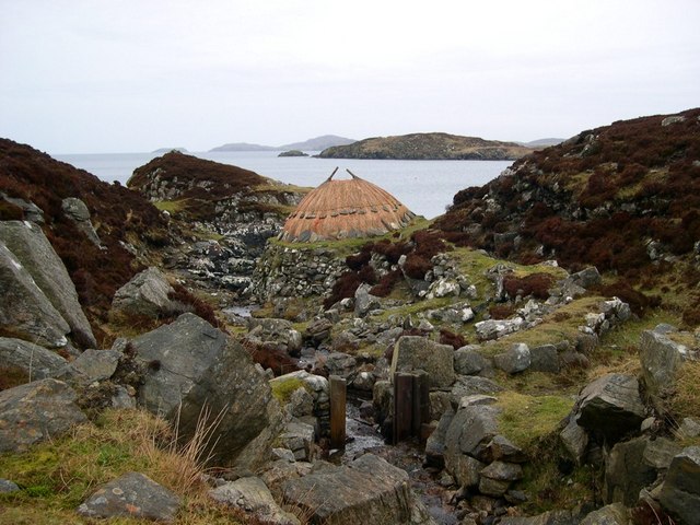
Great Bernera, Iron Age House
Great Bernera, Iron Age House, Bosta Beach. Outer Hebrides, Scotland.

Island Of Great Bernera On History Visit To The Outer Hebrides Of Scotland
Tour Scotland short travel video clip, with Scottish music, of the Island Of Great Bernera on ancestry, genealogy, history visit to the ...

Nearby Amenities
Located within 500m of 58.224014,-6.8019266Have you been to Cnoc Àirigh Fhionnlaidh?
Leave your review of Cnoc Àirigh Fhionnlaidh below (or comments, questions and feedback).