Cnoc a' Charnain

Hill, Mountain in Ross-shire

Scotland

Cnoc a' Charnain

Old hardstandings at Tob Blar Meadha Abandoned lobster loading hardstandings at the lobster pond.
Old hardstandings at Tob Blar Meadha Credit: Gus Macdonald

Cnoc a' Charnain, also known as Carnain Hill, is a prominent hill located in the county of Ross-shire, Scotland. Situated in the Scottish Highlands, it is part of the broader mountainous landscape that characterizes this region.

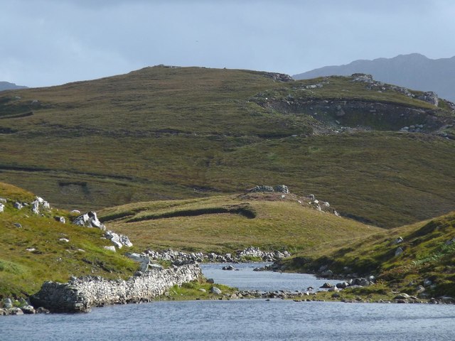
Rising to an elevation of approximately 564 meters (1,850 feet), Cnoc a' Charnain offers stunning panoramic views of the surrounding countryside. The hill is covered in heather and grass, with scattered boulders adding to its rugged appearance. The terrain is relatively gentle, making it accessible to both experienced hikers and casual walkers.

The hill is a popular destination for outdoor enthusiasts, attracting visitors from near and far who come to enjoy its natural beauty and peaceful atmosphere. It is often included in hiking itineraries in the area, with various trails leading to its summit. These trails range in difficulty, catering to different fitness levels and preferences.

From the top of Cnoc a' Charnain, visitors are rewarded with breathtaking vistas of the nearby mountains, lochs, and valleys. On a clear day, it is even possible to catch a glimpse of the distant sea. The hill is also home to a variety of wildlife, including birds of prey, deer, and smaller mammals.

Due to its location in the Scottish Highlands, the weather on Cnoc a' Charnain can be unpredictable, and visitors are advised to come prepared with suitable clothing and provisions. Nonetheless, the hill's natural beauty and tranquility make it a must-visit destination for nature lovers and outdoor enthusiasts exploring Ross-shire.

If you have any feedback on the listing, please let us know in the comments section below.

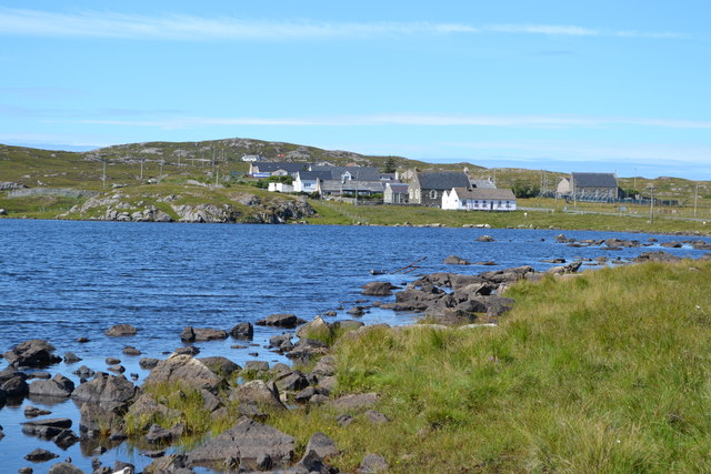
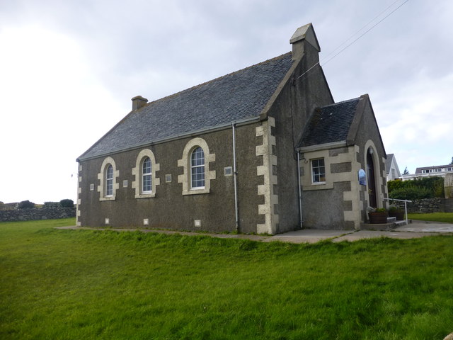
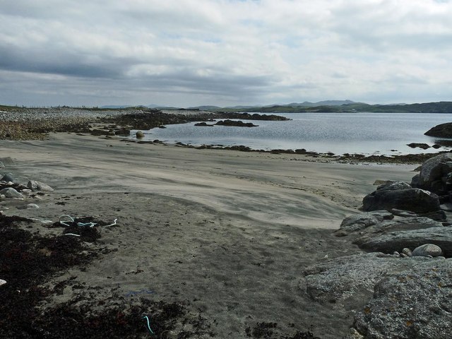
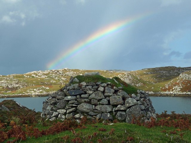
Cnoc a' Charnain Images

Images are sourced within 2km of 58.22567/-6.8069082 or Grid Reference NB1736. Thanks to Geograph Open Source API. All images are credited.

Old hardstandings at Tob Blar Meadha Abandoned lobster loading hardstandings at the lobster pond.
Old hardstandings at Tob Blar Meadha
Abandoned lobster loading hardstandings at the lobster pond.
Craft workshop in Kirkibost One of the old shellfish processing factories at Kirkibost (Circeabost) is now reborn as a craftshop.
Craft workshop in Kirkibost
One of the old shellfish processing factories at Kirkibost (Circeabost) is now reborn as a craftshop.
Cleibh ghiomaich aig cidhe Chirceabost Lobster creels at Kirkibost harbour
Cleibh ghiomaich aig cidhe Chirceabost
Lobster creels at Kirkibost harbour
Breacleit, Bernera Summer flowers, church and school in the village centre.
<span class="nowrap"><a title="http://www.uigandbernera.com/" rel="nofollow ugc noopener" href="http://www.uigandbernera.com/">Link</a><img style="margin-left:2px;" alt="External link" title="External link - shift click to open in new window" src="https://s1.geograph.org.uk/img/external.png" width="10" height="10"/></span>
Breacleit, Bernera
Summer flowers, church and school in the village centre. LinkExternal link
Breacleit church and war memorial Breacleit (or Breaclete) is the largest settlement on Great Bernera, an island off the west coast of Lewis attached to that larger island by a bridge. The little church seen here looks to date from the late C19th or early C20th. To its right can be seen the Bernera War Memorial <span class="nowrap"><a title="http://warmemscot.s4.bizhat.com/viewtopic.php?t=323" rel="nofollow ugc noopener" href="http://warmemscot.s4.bizhat.com/viewtopic.php?t=323">Link</a><img style="margin-left:2px;" alt="External link" title="External link - shift click to open in new window" src="https://s1.geograph.org.uk/img/external.png" width="10" height="10"/></span> 
Behind the church can be seen a little of Loch Breacleit.
Breacleit church and war memorial
Breacleit (or Breaclete) is the largest settlement on Great Bernera, an island off the west coast of Lewis attached to that larger island by a bridge. The little church seen here looks to date from the late C19th or early C20th. To its right can be seen the Bernera War Memorial LinkExternal link Behind the church can be seen a little of Loch Breacleit.
View across Loch Geal towards Breacleit
View towards Circebost Pier
Tolstachaolais: hillside cows and Bernera view Looking across the sound separating the eastern side of Bernera from the Lewis mainland, beyond three cows grazing on the slopes to the south of Tolstachaolais village.
Tolstachaolais: hillside cows and Bernera view
Looking across the sound separating the eastern side of Bernera from the Lewis mainland, beyond three cows grazing on the slopes to the south of Tolstachaolais village.
Great Bernera: the stores and post office The post office has been relocated to this village store since 1994 when it was in a wooden shed: <a href="https://www.geograph.org.uk/photo/104795">NB1536 : Great Bernara Post Office</a>. The shop also operates petrol pumps, which are in a layby across the road.
Great Bernera: the stores and post office
The post office has been relocated to this village store since 1994 when it was in a wooden shed: NB1536 : Great Bernara Post Office. The shop also operates petrol pumps, which are in a layby across the road.
Church Of Scotland, Lochs In Bernera
Tràigh Shanndaig, Isle of Lewis Tràigh Shanndaig is a small beach on Loch Ròg an Ear.
Tràigh Shanndaig, Isle of Lewis
Tràigh Shanndaig is a small beach on Loch Ròg an Ear.
Croftland, Circebost, Great Bernera Looking across Loch Ròg an Ear (East Loch Roag) towards Eilean Chearstaigh.
Croftland, Circebost, Great Bernera
Looking across Loch Ròg an Ear (East Loch Roag) towards Eilean Chearstaigh.
Lazy beds below Cnoc Righseodh, Great Bernera/Beàrnaraigh
Shieling above Tob Chèurabhagh, Great Bernera/Beàrnaraigh Tob Chèurabhagh is a bay at the southern end of Loch Riosaigh.
Shieling above Tob Chèurabhagh, Great Bernera/Beàrnaraigh
Tob Chèurabhagh is a bay at the southern end of Loch Riosaigh.
Stepping stones across Loch nan Geadraisean, Great Bernera/Beàrnaraigh The OS 1:25,000 map shows the body of water to be called Loch na Muilne this side of the stepping stones and Loch nan Geadraisean beyond.  On the OS 1:50,000 map it is all called Loch nan Geadraisean.
Stepping stones across Loch nan Geadraisean, Great Bernera/Beàrnaraigh
The OS 1:25,000 map shows the body of water to be called Loch na Muilne this side of the stepping stones and Loch nan Geadraisean beyond. On the OS 1:50,000 map it is all called Loch nan Geadraisean.
Mill lade, Breacleit Norse mill, Great Bernera/Beàrnaraigh The lade carried water to the mill from Loch na Muilne.  See <span class="nowrap"><a title="http://www.hebrideanconnections.com/landmarks-and-archaeological-sites/27882" rel="nofollow ugc noopener" href="http://www.hebrideanconnections.com/landmarks-and-archaeological-sites/27882">Link</a><img style="margin-left:2px;" alt="External link" title="External link - shift click to open in new window" src="https://s1.geograph.org.uk/img/external.png" width="10" height="10"/></span> for information about the mill.
Mill lade, Breacleit Norse mill, Great Bernera/Beàrnaraigh
The lade carried water to the mill from Loch na Muilne. See LinkExternal link for information about the mill.
Skerries, Loch Riosaigh, Great Bernera/Beàrnaraigh
Calanais/Callanish XV, Circebost, Great Bernera/Beàrnaraigh From Discovery and Excavation in Scotland, 1976: "On grassy ridge 100m N of road, 25m E of track through Croft 24, Kirkibost. A large prone slab approx. 3.55m x 1.35m, thickness varying from 0.25-0.45m, lying in peat on a grassy ridge. The lower end appears to be surrounded by packing stones and there is a void under the centre of the stone. This stone was brought to our notice by Mr Norman MacDonald of Kirkibost."
Calanais/Callanish XV, Circebost, Great Bernera/Beàrnaraigh
From Discovery and Excavation in Scotland, 1976: "On grassy ridge 100m N of road, 25m E of track through Croft 24, Kirkibost. A large prone slab approx. 3.55m x 1.35m, thickness varying from 0.25-0.45m, lying in peat on a grassy ridge. The lower end appears to be surrounded by packing stones and there is a void under the centre of the stone. This stone was brought to our notice by Mr Norman MacDonald of Kirkibost."
Show me another place!

Cnoc a' Charnain is located at Grid Ref: NB1736 (Lat: 58.22567, Lng: -6.8069082)

Unitary Authority: Na h-Eileanan an Iar

Police Authority: Highlands and Islands

What 3 Words

///desiring.beyond.witty. Near Carloway, Na h-Eileanan Siar

Related Wikis

Breaclete

Breacleit (or Roulanish; Scottish Gaelic: Breacleit; Old Norse: Breiðiklettr) is the central village on Great Bernera in the Outer Hebrides, Scotland....

Ceabhaigh

Ceabhaigh is a small island in an arm of Loch Ròg on the west coast of Lewis in the Outer Hebrides of Scotland. It is about 25 hectares (62 acres) in extent...

Tolsta Chaolais

Tolsta Chaolais (also Tolastadh Chaolais, Tolstadh a' Chaolais) is a village on the Isle of Lewis, Scotland. It consists of about forty houses, clustered...

Dun Bharabhat, Great Bernera

Dun Bharabhat (or Dun Baravat) is an Iron Age galleried dun or "semi-broch" situated on the island of Great Bernera near Lewis in Scotland (grid reference...

Have you been to Cnoc a' Charnain?

Leave your review of Cnoc a' Charnain below (or comments, questions and feedback).