Cnoc Glamair na Muilne
Hill, Mountain in Ross-shire
Scotland
Cnoc Glamair na Muilne

Cnoc Glamair na Muilne is a prominent hill located in Ross-shire, Scotland. Rising to an elevation of approximately 716 meters (2,349 feet), it is considered a notable landmark in the area. The hill is situated within the beautiful Scottish Highlands, offering breathtaking views of the surrounding landscape.
Cnoc Glamair na Muilne boasts a rugged and rocky terrain, typical of the region. Its slopes are covered with heather and grasses, providing a habitat for various flora and fauna. The hill is a popular destination for hikers and outdoor enthusiasts, who are drawn to its challenging yet rewarding nature.
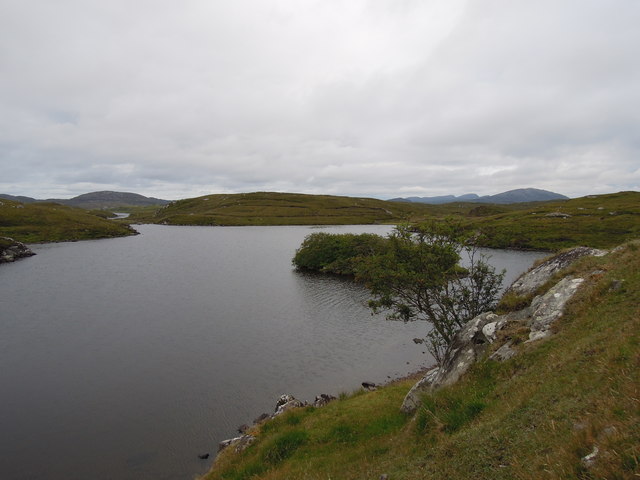
One of the main attractions of Cnoc Glamair na Muilne is its panoramic views. From the summit, on a clear day, visitors can enjoy sweeping vistas of the surrounding mountains, lochs, and valleys. The hill is particularly renowned for its stunning views of Loch Glascarnoch and the nearby Beinn Dearg mountain range.
The ascent to Cnoc Glamair na Muilne is a moderate to difficult hike, requiring a good level of fitness and navigational skills. There are several well-defined routes to the summit, each offering a unique experience. While the hill can be climbed year-round, it is advisable to check weather conditions and be prepared for changing conditions, as the Scottish weather can be unpredictable.
Overall, Cnoc Glamair na Muilne is an impressive hill that offers both a physical challenge and a rewarding experience for those who venture to its summit. Its natural beauty and panoramic views make it a must-visit destination for outdoor enthusiasts and nature lovers visiting Ross-shire.
If you have any feedback on the listing, please let us know in the comments section below.
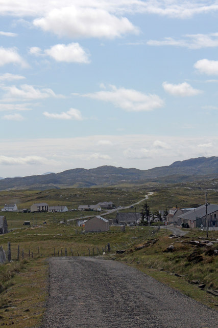
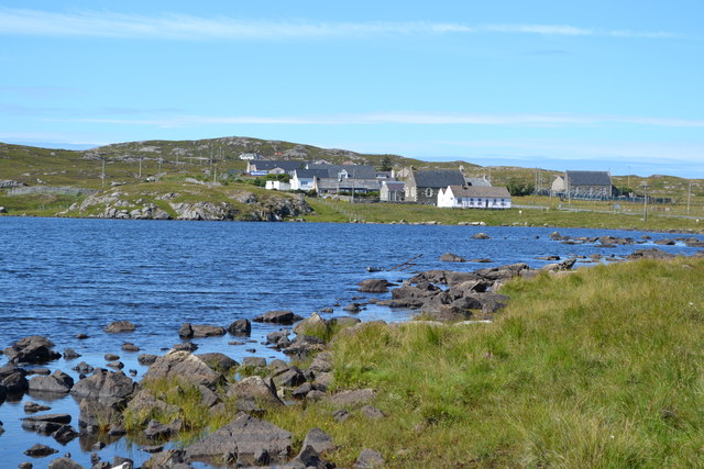
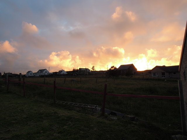
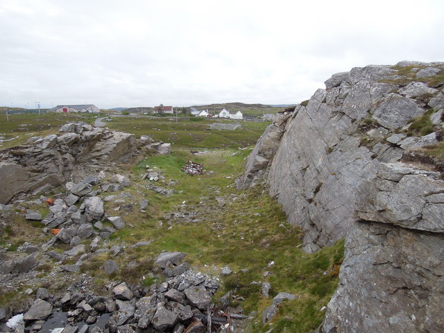
Cnoc Glamair na Muilne Images
Images are sourced within 2km of 58.225057/-6.8129123 or Grid Reference NB1736. Thanks to Geograph Open Source API. All images are credited.


Cnoc Glamair na Muilne is located at Grid Ref: NB1736 (Lat: 58.225057, Lng: -6.8129123)
Unitary Authority: Na h-Eileanan an Iar
Police Authority: Highlands and Islands
What 3 Words
///storyline.highbrow.steepest. Near Carloway, Na h-Eileanan Siar
Related Wikis

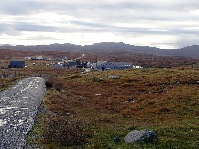
Breaclete
Breacleit (or Roulanish; Scottish Gaelic: Breacleit; Old Norse: Breiðiklettr) is the central village on Great Bernera in the Outer Hebrides, Scotland....

Dun Bharabhat, Great Bernera
Dun Bharabhat (or Dun Baravat) is an Iron Age galleried dun or "semi-broch" situated on the island of Great Bernera near Lewis in Scotland (grid reference...

Great Bernera
Great Bernera (; Scottish Gaelic: Beàrnaraigh Mòr), often known just as Bernera (Scottish Gaelic: Beàrnaraigh), is an island and community in the Outer...

Callanish VIII
The Callanish VIII stone setting is one of many megalithic structures around the better-known (and larger) Calanais I on the west coast of the Isle of...
Ceabhaigh
Ceabhaigh is a small island in an arm of Loch Ròg on the west coast of Lewis in the Outer Hebrides of Scotland. It is about 25 hectares (62 acres) in extent...

Tolsta Chaolais
Tolsta Chaolais (also Tolastadh Chaolais, Tolstadh a' Chaolais) is a village on the Isle of Lewis, Scotland. It consists of about forty houses, clustered...
Eilean Chearstaidh
Eilean Kearstay (Scottish Gaelic: Eilean Chearstaigh) is an uninhabited island in Loch Roag in the Outer Hebrides of Scotland. It lies south east of Great...
Bernera Riot
The Bernera Riot occurred in 1874, on the island of Great Bernera, in Scotland in response to the Highland Clearances. The use of the term 'Bernera Riot...
Have you been to Cnoc Glamair na Muilne?
Leave your review of Cnoc Glamair na Muilne below (or comments, questions and feedback).