Beinn Tioraidh

Hill, Mountain in Argyllshire

Scotland

Beinn Tioraidh

Traigh Hogh
Traigh Hogh Credit: Euan Nelson

Beinn Tioraidh, also known as Beinn Tuiridh, is a prominent hill located in Argyllshire, Scotland. Standing at an elevation of 707 meters (2,320 feet), it is categorized as a Corbett, which is a Scottish hill between 2,500 and 3,000 feet in height. Beinn Tioraidh is situated in the southern region of Argyllshire, near the village of Kilmartin.

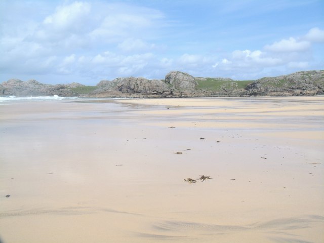
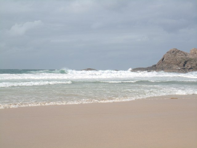
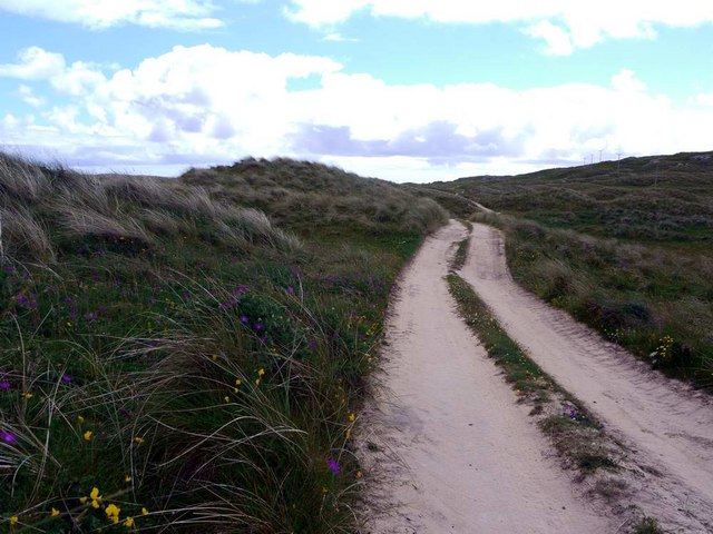
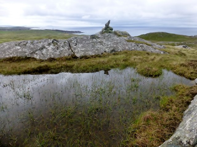
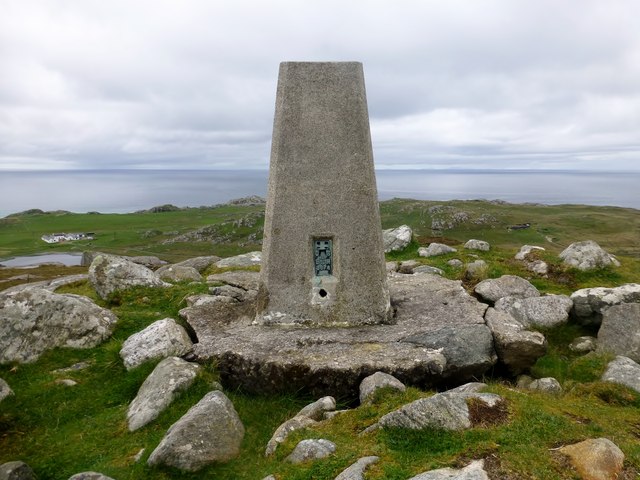
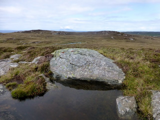
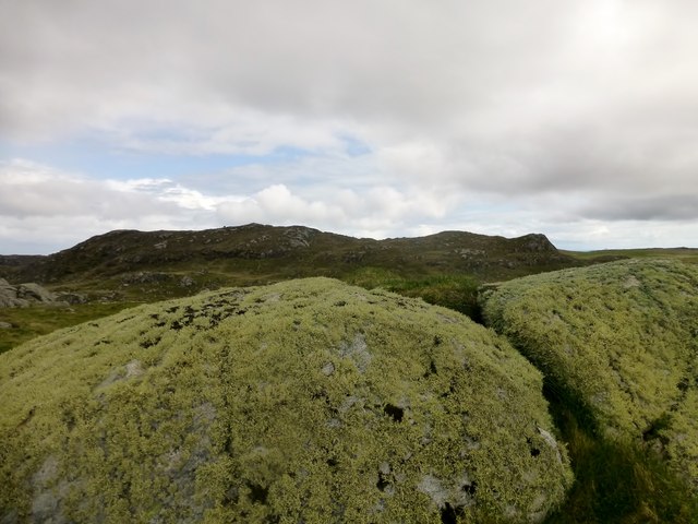
The hill offers breathtaking panoramic views of the surrounding countryside, including the Kilmartin Glen, which is renowned for its rich archaeological heritage. Visitors to Beinn Tioraidh can expect to be greeted by a diverse landscape, characterized by rolling hills, heather-covered moorland, and scattered forests.

To reach the summit of Beinn Tioraidh, there are several routes available to hikers and mountaineers. One popular approach starts from the Kilmichael Forest, where a well-marked trail leads to the hill's summit. The ascent can be moderately challenging, but the reward of reaching the top is well worth the effort, as it provides stunning vistas across the Argyll countryside and the nearby islands of Islay and Jura.

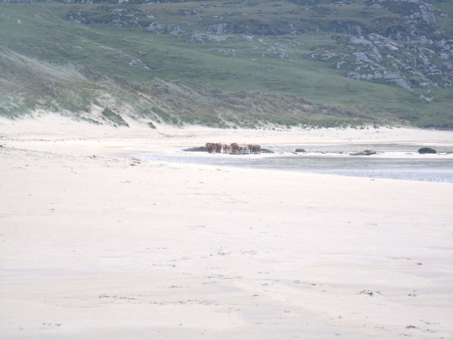
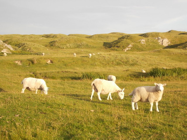
Beinn Tioraidh is also a fantastic location for nature enthusiasts, as it is home to a variety of wildlife. Red deer, golden eagles, and red squirrels are just a few of the species that can be spotted in the area.

Overall, Beinn Tioraidh is a captivating hill in Argyllshire, offering both recreational opportunities for outdoor enthusiasts and a chance to immerse oneself in the natural beauty of the Scottish Highlands.

If you have any feedback on the listing, please let us know in the comments section below.

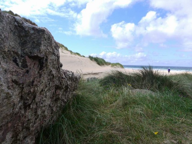
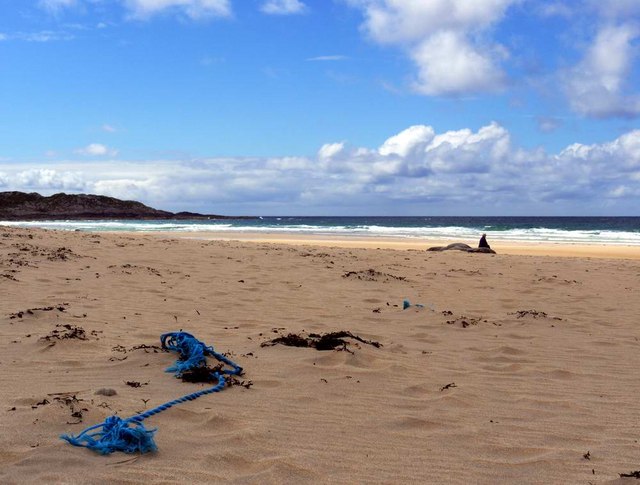
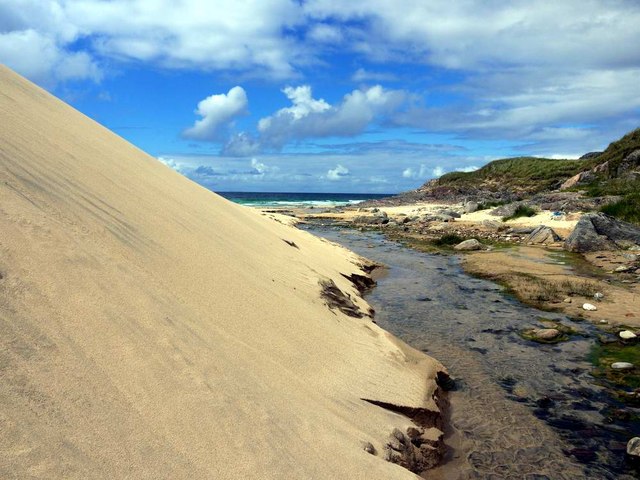
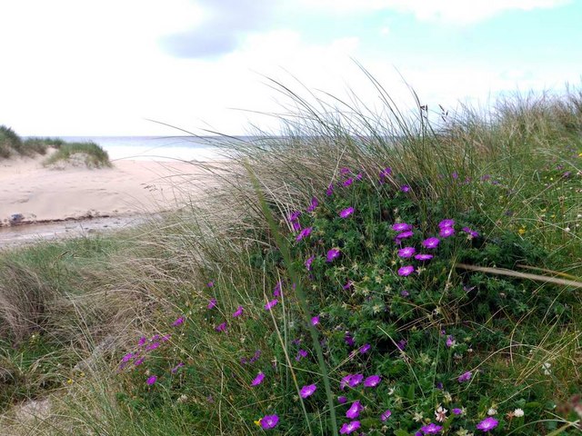
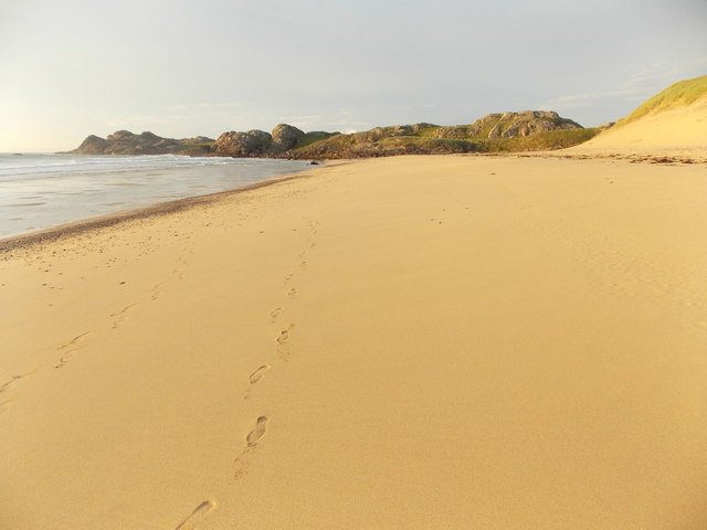
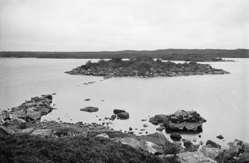
Beinn Tioraidh Images

Images are sourced within 2km of 56.632351/-6.6078216 or Grid Reference NM1758. Thanks to Geograph Open Source API. All images are credited.

Traigh Hogh
Traigh Hogh
Hogh Bay
Hogh Bay
Traigh Hogh In the distance a herd of cows can be seen on the beach.
Traigh Hogh
In the distance a herd of cows can be seen on the beach.
Township remains, Ben Hogh
The approach to Hogh Bay Yet another of Coll's glorious beaches.
The approach to Hogh Bay
Yet another of Coll's glorious beaches.
The glorious beach at Traigh Hogh Sadly, the flotsam of modern plastic-ridden life is always with us.
The glorious beach at Traigh Hogh
Sadly, the flotsam of modern plastic-ridden life is always with us.
Burn and dune at Traigh Hogh Set on Coll's west coast, Traigh Hogh (Hogh Shore/Beach) is just one of the many beautiful, deserted beaches on this island.
Burn and dune at Traigh Hogh
Set on Coll's west coast, Traigh Hogh (Hogh Shore/Beach) is just one of the many beautiful, deserted beaches on this island.
Bloody cranesbill at Traigh Hogh This beautiful relative of the geranium family blooms widely on the Coll machair in June - whole banks are stained purple with the flowers.
Bloody cranesbill at Traigh Hogh
This beautiful relative of the geranium family blooms widely on the Coll machair in June - whole banks are stained purple with the flowers.
The track from Ballyhaugh to Totronald The purple blossoms of bloody cranesbill in banks by the track.
The track from Ballyhaugh to Totronald
The purple blossoms of bloody cranesbill in banks by the track.
Ben Hogh Bagged trig and then the real top with Iain Brown and Martin Richardson before a circuit of 3 more TuMPs on an improving afternoon.

Name: Ben Hogh
Hill number: 4817
Height: 106m / 348ft
Parent (Ma/M): none
Area: 17F: Coll and Tiree
Class: Hu,1
Grid ref: NM 18357 57709
Summit feature: cairn on SE top
Drop: 106m
Col: Sea
Ben Hogh
Bagged trig and then the real top with Iain Brown and Martin Richardson before a circuit of 3 more TuMPs on an improving afternoon. Name: Ben Hogh Hill number: 4817 Height: 106m / 348ft Parent (Ma/M): none Area: 17F: Coll and Tiree Class: Hu,1 Grid ref: NM 18357 57709 Summit feature: cairn on SE top Drop: 106m Col: Sea
Ben Hogh Trig Ben Hogh trig point on the Isle of Coll which is some way from the actual summit of Ben Hogh.
Ben Hogh Trig
Ben Hogh trig point on the Isle of Coll which is some way from the actual summit of Ben Hogh.
Dun Dubh Third TuMP of circuit of four with Iain Brown and Martin Richardson. This is the view from the lower of the three likely high points back towards the other two. The actual summit is on the left of the two.
Name: Dun Dubh
Hill number: 10475
Height: 69m / 226ft
Parent (Ma/M): none
Area: 17F: Coll and Tiree
Class: 0
Grid ref: NM 18520 59197
Summit feature: rock in heather
Drop: 31m
Col: 38m  NM186588
Dun Dubh
Third TuMP of circuit of four with Iain Brown and Martin Richardson. This is the view from the lower of the three likely high points back towards the other two. The actual summit is on the left of the two. Name: Dun Dubh Hill number: 10475 Height: 69m / 226ft Parent (Ma/M): none Area: 17F: Coll and Tiree Class: 0 Grid ref: NM 18520 59197 Summit feature: rock in heather Drop: 31m Col: 38m NM186588
Beinn Tioraidh Fourth TuMP of circuit of four with Iain Brown and Martin Richardson.
Name: Beinn Tioraidh
Hill number: 10498
Height: 60m / 197ft
Parent (Ma/M): none
Area: 17F: Coll and Tiree
Class: 0
Grid ref: NM 17544 58432
Summit feature: rock outcrop
Drop: 32m
Col: 28m  NM180584
Beinn Tioraidh
Fourth TuMP of circuit of four with Iain Brown and Martin Richardson. Name: Beinn Tioraidh Hill number: 10498 Height: 60m / 197ft Parent (Ma/M): none Area: 17F: Coll and Tiree Class: 0 Grid ref: NM 17544 58432 Summit feature: rock outcrop Drop: 32m Col: 28m NM180584
Isle of Coll: stepping stones to Hogh Bay The wonderful beach is accessed by crossing an unnamed stream, this being probably the easiest crossing place.
Isle of Coll: stepping stones to Hogh Bay
The wonderful beach is accessed by crossing an unnamed stream, this being probably the easiest crossing place.
Isle of Coll: sheep and dunes near Hogh Bay Sheep and dunes are typical features of the Isle of Coll, although this patch of dunes is a bit more separated from the coast than the majority, which back the sandy beaches of the island.
Isle of Coll: sheep and dunes near Hogh Bay
Sheep and dunes are typical features of the Isle of Coll, although this patch of dunes is a bit more separated from the coast than the majority, which back the sandy beaches of the island.
Isle of Coll: waves at Hogh Bay Big waves come in on Hogh Bay beach, but deceptively far off - the beach itself includes a wide flattish section which was barely underwater at this evening's low tide.
Isle of Coll: waves at Hogh Bay
Big waves come in on Hogh Bay beach, but deceptively far off - the beach itself includes a wide flattish section which was barely underwater at this evening's low tide.
Isle of Coll: Tràigh Hogh Looking along the northeast part of this wonderful sandy beach on Hogh Bay, on a splendidly sunny evening.
Isle of Coll: Tràigh Hogh
Looking along the northeast part of this wonderful sandy beach on Hogh Bay, on a splendidly sunny evening.
Show me another place!

Beinn Tioraidh is located at Grid Ref: NM1758 (Lat: 56.632351, Lng: -6.6078216)

Unitary Authority: Argyll and Bute

Police Authority: Argyll and West Dunbartonshire

What 3 Words

///lectured.angle.handlebar. Near Arinagour, Argyll & Bute

Related Wikis

An Caisteal (Coll)

An Caisteal (English: The Castle) is a hill fort located on the island of Coll. This island is one of the islands which make up the Inner Hebrides located...

Dùn Dubh

Dùn Dubh is a hillfort, located on the Inner Hebridean island of Coll. The fort is one of three associated with a local tradition which states that they...

Totamore dun

Totamore Dun is a dun located at grid reference NM17625713; near the settlement of Totamore, on the Inner Hebridean island of Coll. It occupies the summit...

Dùn Anlaimh

Dùn Anlaimh, also known as Dùn Amhlaidh, and Eilean nan Cinneachan, is a crannog (an artificial island), located within Loch nan Cinneachan on the Inner...

Nearby Amenities

Located within 500m of 56.632351,-6.6078216
Power: pole
Lat/Long: 56.6336263/-6.6030396
Power: pole
Lat/Long: 56.6330392/-6.6035707
Power: pole
Lat/Long: 56.6324093/-6.6041393
Power: pole
Lat/Long: 56.6317307/-6.6045712
Power: pole
Lat/Long: 56.631058/-6.6050057
Power: pole
Lat/Long: 56.6304/-6.6054938
Power: pole
Lat/Long: 56.6299293/-6.6063897
Power: pole
Lat/Long: 56.6288782/-6.6084939
Power: pole
Lat/Long: 56.6329223/-6.5999267
Power: pole
Lat/Long: 56.6331613/-6.601021
Power: pole
Lat/Long: 56.6334416/-6.6022119
Power: pole
Lat/Long: 56.62852/-6.6092178
Power: pole
Lat/Long: 56.6295498/-6.6071713
Totamore
Name Gd: An Tobhta Mhòr
Place: hamlet
Lat/Long: 56.6323927/-6.6038038
Ballyhaugh
Name Gd: Baile Hogh
Place: locality
Lat/Long: 56.6287142/-6.6089751
Ford: yes
Lat/Long: 56.6329786/-6.6115689
Barrier: cattle_grid
Lat/Long: 56.6330924/-6.602999
The data included in this document is from www.openstreetmap.org. The data is made available under ODbL.

Have you been to Beinn Tioraidh?

Leave your review of Beinn Tioraidh below (or comments, questions and feedback).