Cnoc Gorm

Hill, Mountain in Ross-shire

Scotland

Cnoc Gorm

Section of abandoned road next to the B8011
Section of abandoned road next to the B8011 Credit: David Gearing

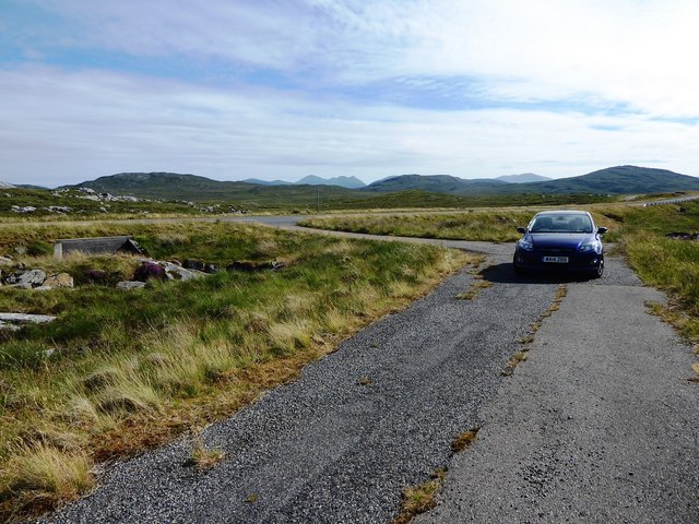
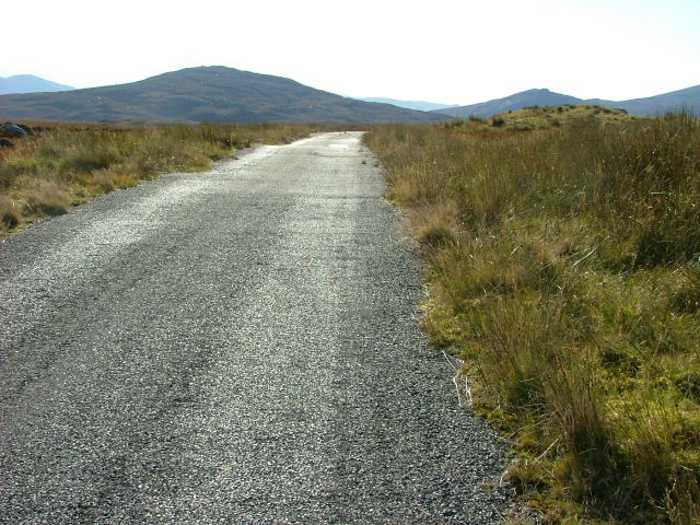
Cnoc Gorm, located in Ross-shire, Scotland, is a prominent hill standing at an elevation of approximately 449 meters (1,473 feet). Situated in the Northwest Highlands, it is a popular destination for hikers and nature enthusiasts due to its stunning natural beauty and panoramic views.

The hill is part of the larger mountain range known as the Fannichs, which comprises a group of Munros (mountains in Scotland over 3,000 feet). Cnoc Gorm itself is not classified as a Munro but is often climbed together with the neighboring peaks for a more challenging hiking experience.

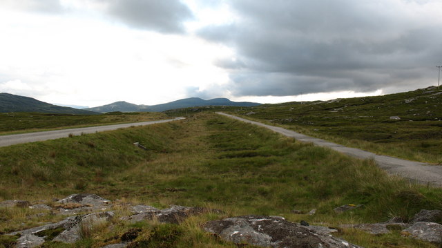
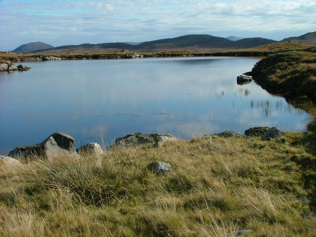
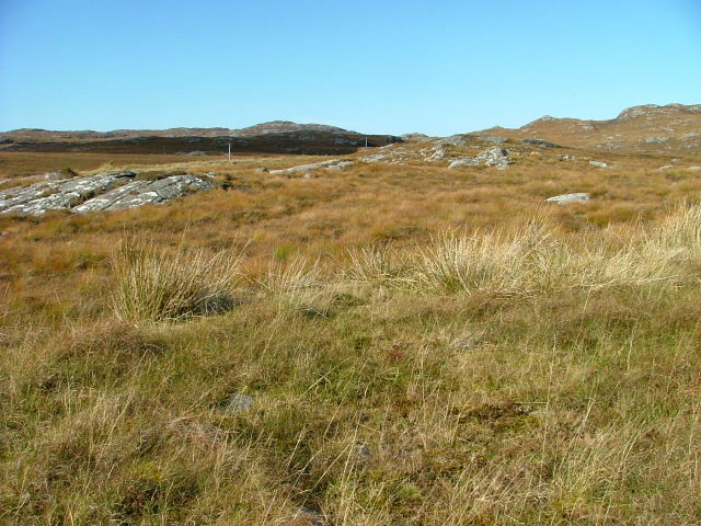
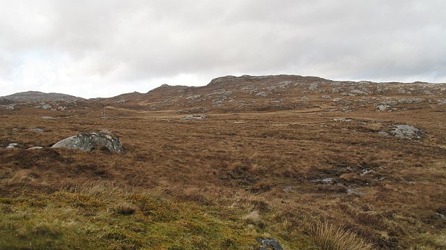
The terrain on Cnoc Gorm is characterized by rocky slopes, heather-covered moorland, and scattered patches of woodland. Its western and northern slopes offer breathtaking vistas of Loch Fannich and the surrounding glens, while the eastern side overlooks the vast expanse of the Strathconon valley.

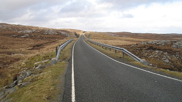
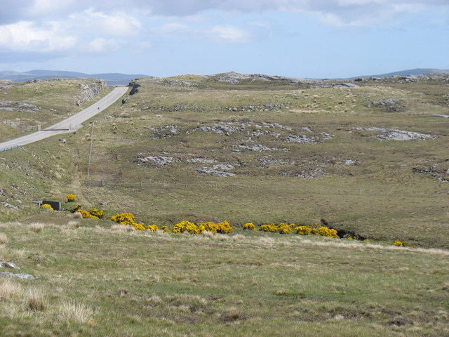
The hill is accessible from several starting points, with the most popular being the parking area near the A832 road. From there, a well-marked path leads hikers through a mix of open terrain and forested sections, gradually ascending towards the summit. The hike typically takes around 3-4 hours to complete, depending on individual fitness levels.

Cnoc Gorm provides a rewarding experience for outdoor enthusiasts, offering a chance to immerse oneself in the wild and rugged Scottish landscape. Its diverse flora and fauna, including red deer and various bird species, add to its allure, making it a must-visit destination for those seeking a memorable outdoor adventure in Ross-shire.

If you have any feedback on the listing, please let us know in the comments section below.

Cnoc Gorm Images

Images are sourced within 2km of 58.142415/-6.8176357 or Grid Reference NB1627. Thanks to Geograph Open Source API. All images are credited.

Section of abandoned road next to the B8011
Old and new roads. looking west along the B8011 in West Lewis with the new twin-track road on the left and the original single track road on the right.  At the moment the old road still has a reasonable tarred surface and is used by cyclists and walkers.
Old and new roads.
looking west along the B8011 in West Lewis with the new twin-track road on the left and the original single track road on the right. At the moment the old road still has a reasonable tarred surface and is used by cyclists and walkers.
Peat cutting, West Lewis. Peat cutting near the roadside - miles from any settlement.
Peat cutting, West Lewis.
Peat cutting near the roadside - miles from any settlement.
A very odd lochan. There's nothing particularly unusual about this tiny, unnamed lochan close to the B8011, but maybe the cartographer made a mistake? The map shows a black outline around the loch, indicating [usually] tidal water, but it would seem unusual for the tide to reach 75 metres above its normal level.
A very odd lochan.
There's nothing particularly unusual about this tiny, unnamed lochan close to the B8011, but maybe the cartographer made a mistake? The map shows a black outline around the loch, indicating [usually] tidal water, but it would seem unusual for the tide to reach 75 metres above its normal level.
Unnamed Lochan South of the B8011 Road. There are countless unnamed Lochs and Lochans on West Lewis.
Unnamed Lochan South of the B8011 Road.
There are countless unnamed Lochs and Lochans on West Lewis.
Old Road Part of the old B8011 road looking west.
Old Road
Part of the old B8011 road looking west.
Open Moorland West of the B8011
Open Moorland
West of the B8011
Lochan on the Moorland Unnamed on the OS map.
Lochan on the Moorland
Unnamed on the OS map.
Loch an Fir Mhaoil
Loch an Fir Mhaoil
End of the double track Single track running starts again on the road to Uig.
End of the double track
Single track running starts again on the road to Uig.
Beinn Mocacleit and moorland Moorland off the road to Uig.
Beinn Mocacleit and moorland
Moorland off the road to Uig.
Ruins of a sheiling, Cnoc Gorm Lonely ruin on a hillside a few hundred metres from the B8011 across cleg infested bog and rock.
Ruins of a sheiling, Cnoc Gorm
Lonely ruin on a hillside a few hundred metres from the B8011 across cleg infested bog and rock.
The road to Scaliscro Lodge
Druim Mor Long stretches of the B8011 have been realigned, as here. The old single-track road is off to the left of this photo. Older maps, showing the previous alignment, may confuse.
Druim Mor
Long stretches of the B8011 have been realigned, as here. The old single-track road is off to the left of this photo. Older maps, showing the previous alignment, may confuse.
Druim Mor These twin cairns are conspicuous from the B8011, indeed there is a parking space nearby, but they do not mark a summit or other feature and I have not established the reason for their presence.
Recently the B8011 has been realigned and upgraded to a two-lane road.  The original, single-track route is clearly seen above the right-hand cairn.  The modern road can just be seen to the right of the base of that cairn.
Druim Mor
These twin cairns are conspicuous from the B8011, indeed there is a parking space nearby, but they do not mark a summit or other feature and I have not established the reason for their presence. Recently the B8011 has been realigned and upgraded to a two-lane road. The original, single-track route is clearly seen above the right-hand cairn. The modern road can just be seen to the right of the base of that cairn.
Show me another place!

Cnoc Gorm is located at Grid Ref: NB1627 (Lat: 58.142415, Lng: -6.8176357)

Unitary Authority: Na h-Eileanan an Iar

Police Authority: Highlands and Islands

What 3 Words

///decide.oath.stupidly. Near Carloway, Na h-Eileanan Siar

Related Wikis

Gisla Hydro-Electric Scheme

Gisla Hydro-Electric Scheme was a small scheme promoted by the North of Scotland Hydro-Electric Board on the Isle of Lewis, Outer Hebrides, Scotland. It...

Eilean Chearstaidh

Eilean Kearstay (Scottish Gaelic: Eilean Chearstaigh) is an uninhabited island in Loch Roag in the Outer Hebrides of Scotland. It lies south east of Great...

Callanish VIII

The Callanish VIII stone setting is one of many megalithic structures around the better-known (and larger) Calanais I on the west coast of the Isle of...

Callanish IV

The Callanish IV stone circle (Scottish Gaelic: Ceann Hulavig) is one of many megalithic structures around the better-known (and larger) Calanais I on...

Nearby Amenities

Located within 500m of 58.142415,-6.8176357
Power: pole
Lat/Long: 58.1398726/-6.8109866
Power: pole
Lat/Long: 58.1391983/-6.8123521
Power: pole
Lat/Long: 58.1383548/-6.8140426
Àirigh a' Chnoic Ghuirm
Place: locality
Lat/Long: 58.1390779/-6.8152886
Airighean Beinn Mocacleit
Place: locality
Lat/Long: 58.1427359/-6.8209441
The data included in this document is from www.openstreetmap.org. The data is made available under ODbL.

Have you been to Cnoc Gorm?

Leave your review of Cnoc Gorm below (or comments, questions and feedback).