Sgaoth Àird
Hill, Mountain in Inverness-shire
Scotland
Sgaoth Àird
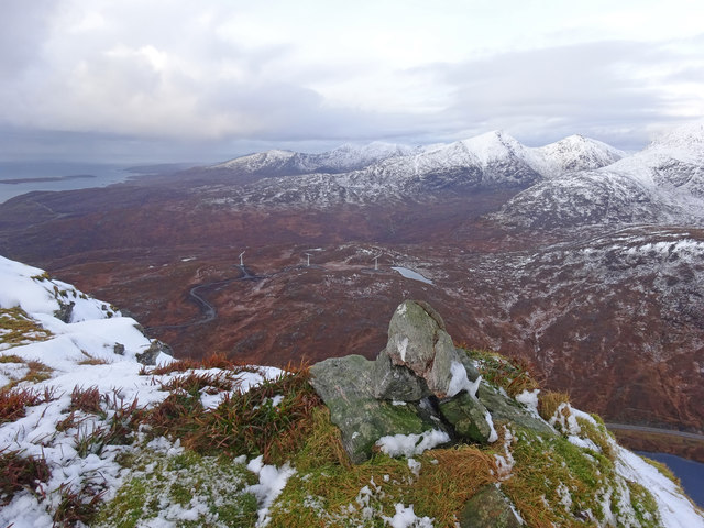
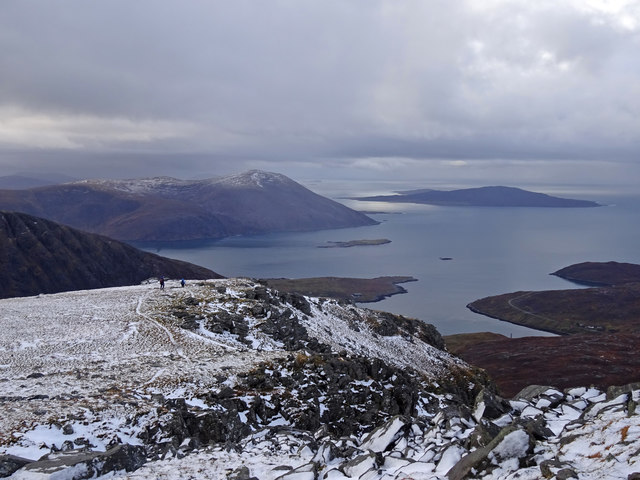
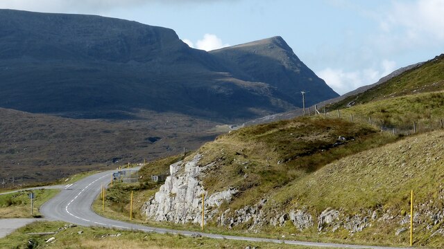
Sgaoth Àird, located in Inverness-shire, Scotland, is a prominent hill/mountain in the region. With an elevation of around 818 meters (2,684 feet), it offers breathtaking views of the surrounding landscape. Sgaoth Àird is situated within the Cairngorms National Park, one of Scotland's most renowned natural areas.
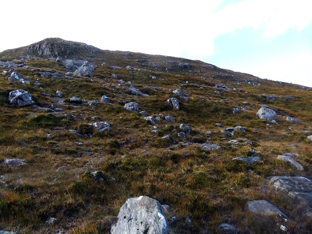
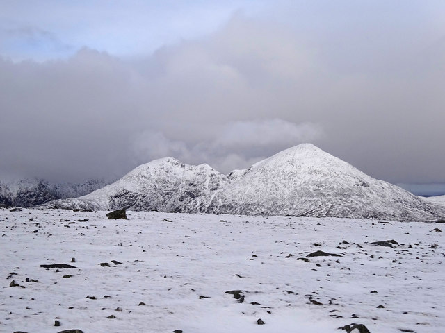
The hill/mountain is characterized by its steep and rugged slopes, covered in heather and scattered with rocks and boulders. Its summit presents a challenging yet rewarding climb for experienced hikers and mountaineers. As one ascends, the panoramic vistas expand, showcasing the vastness of the park and the surrounding mountain ranges.
The terrain of Sgaoth Àird is a mix of rocky outcrops, grassy slopes, and moorland, providing diverse and picturesque scenery throughout the climb. The hill/mountain is also famous for its wildlife, with various species of birds, including ptarmigan and golden eagles, often spotted in the area. Red deer, mountain hares, and other mammals can also be encountered during hikes.
Due to its location within the Cairngorms National Park, Sgaoth Àird is a popular destination for outdoor enthusiasts seeking to explore the natural beauty of the Scottish Highlands. The area offers a multitude of hiking trails, ranging from short walks to more challenging routes. It is advisable for visitors to come prepared with appropriate clothing, equipment, and maps, as the weather conditions can change quickly, and navigation might be necessary.
Overall, Sgaoth Àird stands as a striking landmark, offering a rewarding and adventurous experience for those seeking to immerse themselves in the breathtaking Scottish scenery.
If you have any feedback on the listing, please let us know in the comments section below.
Sgaoth Àird Images
Images are sourced within 2km of 57.93461/-6.7899346 or Grid Reference NB1603. Thanks to Geograph Open Source API. All images are credited.


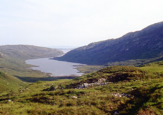
![Bealach na Ciste With Loch a' Mhorghain on the right and Sgaoth Iosal [hill] on the left.](https://s2.geograph.org.uk/geophotos/06/70/85/6708506_52b2136e.jpg)

Sgaoth Àird is located at Grid Ref: NB1603 (Lat: 57.93461, Lng: -6.7899346)
Unitary Authority: Na h-Eileanan an Iar
Police Authority: Highlands and Islands
What 3 Words
///owls.routs.cubs. Near Tarbert, Na h-Eileanan Siar
Nearby Locations
Related Wikis

Harris, Outer Hebrides
Harris (Scottish Gaelic: Na Hearadh, pronounced [nə ˈhɛɾəɣ] ) is the southern and more mountainous part of Lewis and Harris, the largest island in the...

Bun Abhainn Eadarra
Bun Abhainn Eadarra or Bunavoneadar is a hamlet adjacent to the Loch Bun Abhainn Eadarra, on the south shore of North Harris, in the Outer Hebrides, Scotland...

Ardhasaig
Ardhasaig (Scottish Gaelic: Àird Àsaig) is a settlement on the western coast of north Harris, in the Outer Hebrides, Scotland. Ardhasaig is also within...

Tarbert, Harris
Tarbert (Scottish Gaelic: An Tairbeart [ən̪ˠ ˈt̪ɛrʲɛbərˠʃt̪]) is the main community on Harris in the Western Isles of Scotland. The name means "isthmus...
Nearby Amenities
Located within 500m of 57.93461,-6.7899346Have you been to Sgaoth Àird?
Leave your review of Sgaoth Àird below (or comments, questions and feedback).