Cnoc Gèarraidh Beinn Mocacleit
Hill, Mountain in Ross-shire
Scotland
Cnoc Gèarraidh Beinn Mocacleit
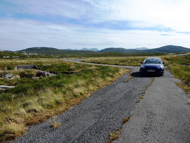
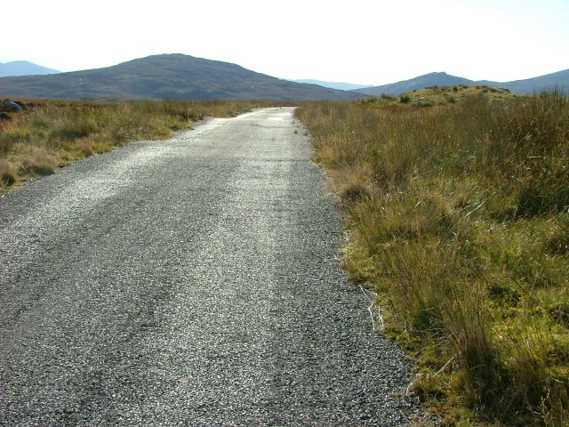
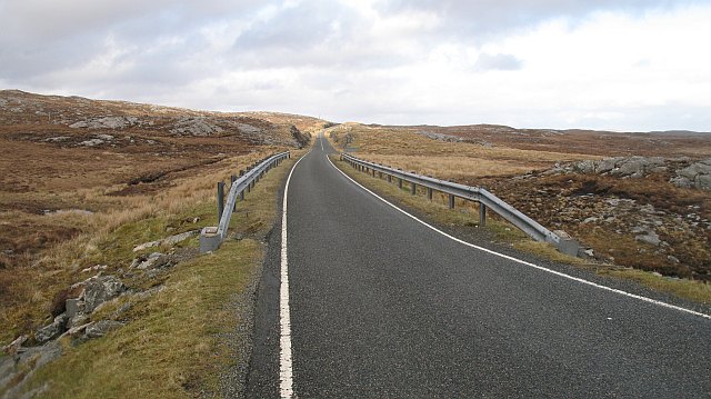
Cnoc Gèarraidh Beinn Mocacleit, located in Ross-shire, Scotland, is a prominent hill/mountain that stands at an elevation of approximately 1,515 feet (462 meters). It is situated in the northwest Highlands, in close proximity to the village of Ullapool. Its Gaelic name translates to "Hill of the Short Rough Ground."
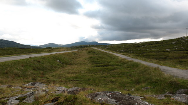
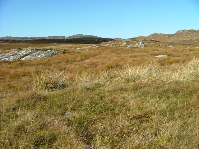
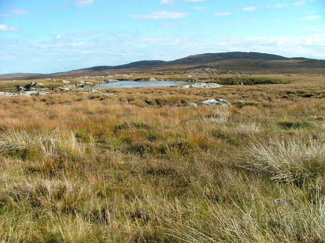
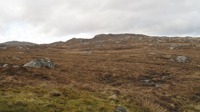
The hill/mountain boasts a distinctive rugged terrain, with steep slopes covered in heather moorland and rocky outcrops. It is part of the wider Beinn Dearg mountain range, which is known for its picturesque landscapes and diverse flora and fauna.
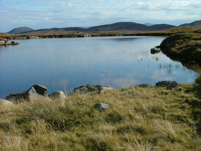
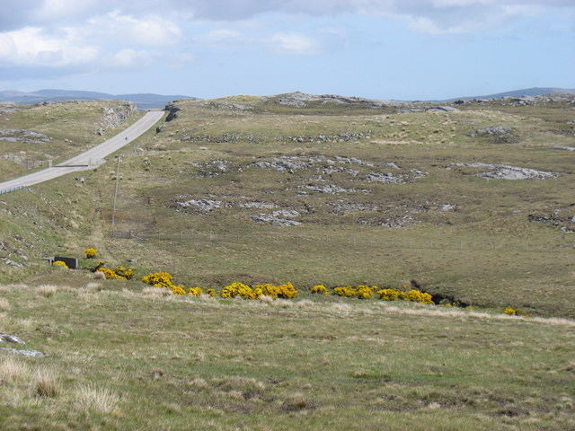
Cnoc Gèarraidh Beinn Mocacleit offers breathtaking panoramic views of the surrounding countryside. On a clear day, visitors can enjoy stunning vistas of the nearby Loch Broom and the distant hills of Coigach and Assynt. The hill/mountain serves as a popular destination for hikers and outdoor enthusiasts, who are drawn to its challenging yet rewarding ascent.
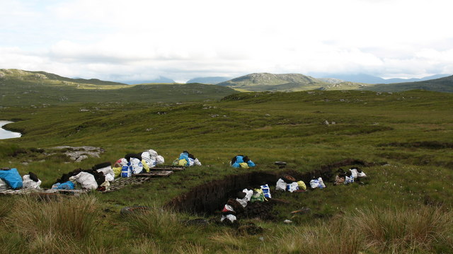
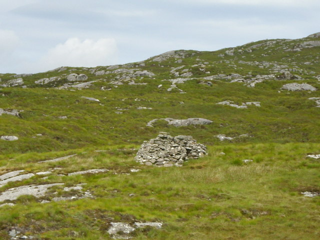
The area surrounding Cnoc Gèarraidh Beinn Mocacleit is rich in history and heritage. It is believed to have been inhabited since prehistoric times, with various archaeological sites and artifacts discovered in the vicinity. Additionally, the hill/mountain is home to a diverse range of wildlife, including red deer, golden eagles, and mountain hares.
Overall, Cnoc Gèarraidh Beinn Mocacleit provides an excellent opportunity for nature lovers and adventure seekers to immerse themselves in the stunning Scottish Highlands and experience the beauty of this remarkable hill/mountain.
If you have any feedback on the listing, please let us know in the comments section below.
Cnoc Gèarraidh Beinn Mocacleit Images
Images are sourced within 2km of 58.14822/-6.8232708 or Grid Reference NB1627. Thanks to Geograph Open Source API. All images are credited.

Cnoc Gèarraidh Beinn Mocacleit is located at Grid Ref: NB1627 (Lat: 58.14822, Lng: -6.8232708)
Unitary Authority: Na h-Eileanan an Iar
Police Authority: Highlands and Islands
What 3 Words
///landmark.slid.prank. Near Carloway, Na h-Eileanan Siar
Related Wikis

Gisla Hydro-Electric Scheme
Gisla Hydro-Electric Scheme was a small scheme promoted by the North of Scotland Hydro-Electric Board on the Isle of Lewis, Outer Hebrides, Scotland. It...

Callanish VIII
The Callanish VIII stone setting is one of many megalithic structures around the better-known (and larger) Calanais I on the west coast of the Isle of...

Eilean Chearstaidh
Eilean Kearstay (Scottish Gaelic: Eilean Chearstaigh) is an uninhabited island in Loch Roag in the Outer Hebrides of Scotland. It lies south east of Great...
Fuaigh Beag
Fuaigh Beag or Vuia Be(a)g is an island in the Outer Hebrides. It is off the west coast of Lewis near Great Bernera in Loch Roag. Its name means "little...

Callanish IV
The Callanish IV stone circle (Scottish Gaelic: Ceann Hulavig) is one of many megalithic structures around the better-known (and larger) Calanais I on...

Callanish Stones
The Callanish Stones (or "Callanish I": Scottish Gaelic: Clachan Chalanais or Tursachan Chalanais) are an arrangement of standing stones placed in a cruciform...
Loch Ròg
Loch Ròg or Loch Roag is a large sea loch on the west coast of Lewis, Outer Hebrides. It is broadly divided into East Loch Roag and West Loch Roag with...

Callanish
Callanish (Scottish Gaelic: Calanais) is a village (township) on the west side of the Isle of Lewis, in the Outer Hebrides (Western Isles), Scotland. Callanish...
Nearby Amenities
Located within 500m of 58.14822,-6.8232708Have you been to Cnoc Gèarraidh Beinn Mocacleit?
Leave your review of Cnoc Gèarraidh Beinn Mocacleit below (or comments, questions and feedback).