Ben Forsan

Hill, Mountain in Inverness-shire

Scotland

Ben Forsan

Glendale Water Mill An 18th century corn mill <span class="nowrap"><a title="https://canmore.org.uk/site/173200/skye-glendale-glendale-mill-and-kiln" rel="nofollow ugc noopener" href="https://canmore.org.uk/site/173200/skye-glendale-glendale-mill-and-kiln">Link</a><img style="margin-left:2px;" alt="External link" title="External link - shift click to open in new window" src="https://s1.geograph.org.uk/img/external.png" width="10" height="10"/></span>
Glendale Water Mill Credit: Sandy Gerrard

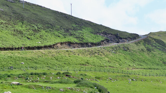
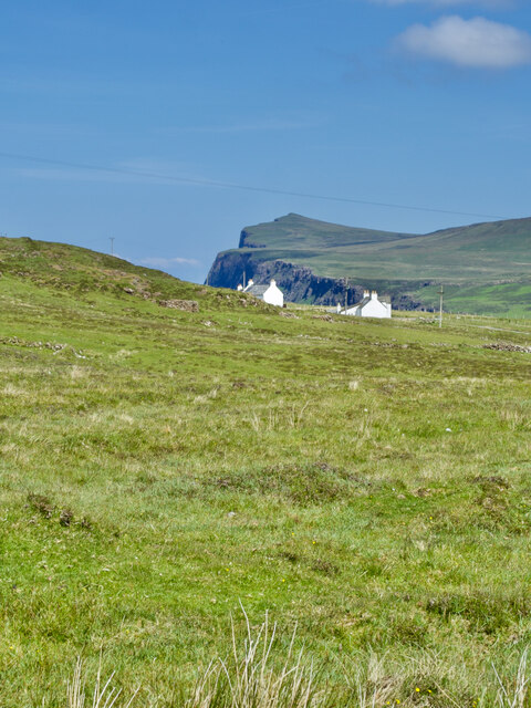
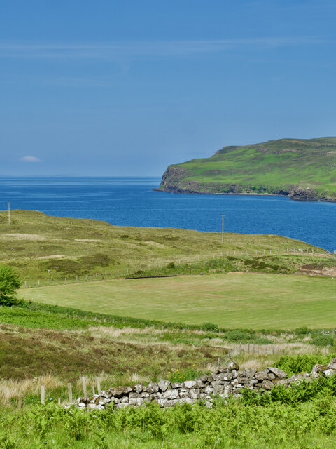
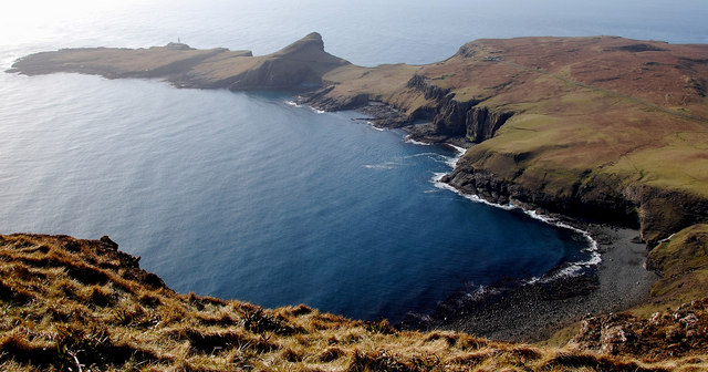
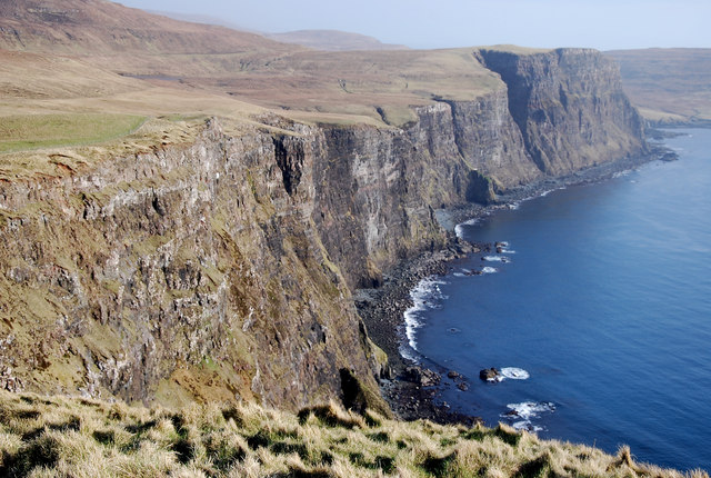
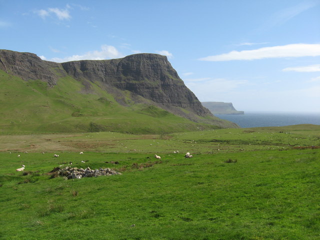
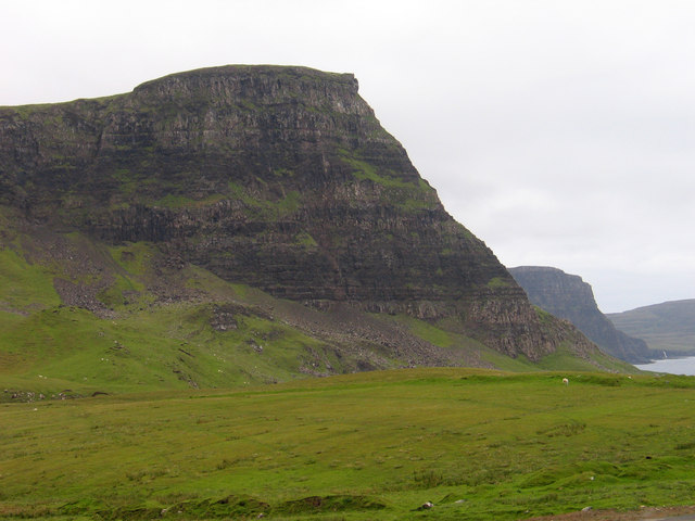
Ben Forsan is a notable hill located in Inverness-shire, Scotland. With an elevation of approximately 915 meters (3,002 feet), it stands proudly as a prominent feature in the region's landscape. Situated in the Scottish Highlands, this mountain offers breathtaking panoramic views of the surrounding picturesque valleys, lochs, and glens.

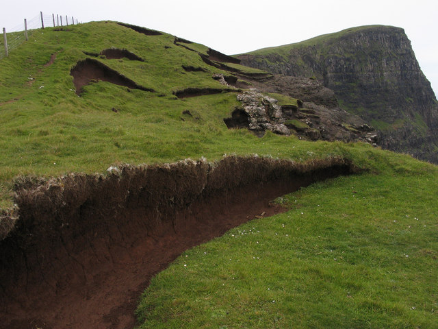
The ascent to the summit of Ben Forsan can be challenging, yet rewarding for outdoor enthusiasts and hikers. The trail is known for its steep inclines and rugged terrain, requiring a moderate level of fitness and proper hiking gear. However, its well-defined paths and markers make it accessible for experienced walkers.

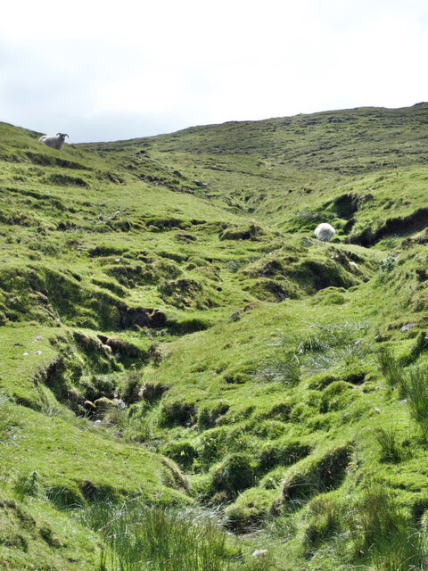
The surrounding area of Ben Forsan is rich in biodiversity, boasting a diverse range of flora and fauna. The lower slopes are often covered in heather, while the higher reaches are home to hardy alpine plants. This creates a vibrant, colorful landscape during the summer months.

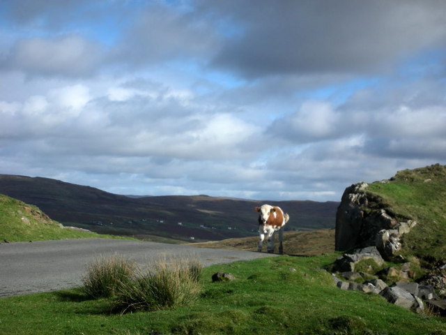
Wildlife enthusiasts visiting Ben Forsan may be fortunate enough to spot some of the native species that inhabit the region. Red deer, mountain hares, and golden eagles are among the creatures that call this area their home.

For those seeking a more adventurous experience, Ben Forsan offers opportunities for rock climbing and mountaineering. Its craggy slopes and cliffs attract enthusiasts from around the world, eager to test their skills against the mountain's challenging faces.

Overall, Ben Forsan stands as a remarkable natural landmark in Inverness-shire, offering both beauty and adventure to those who choose to explore its slopes.

If you have any feedback on the listing, please let us know in the comments section below.

Ben Forsan Images

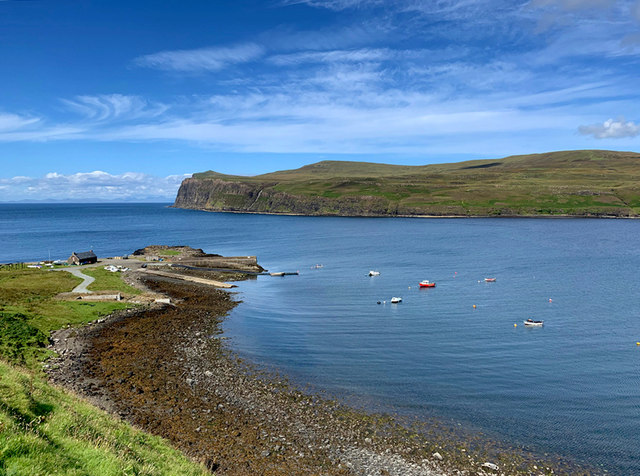
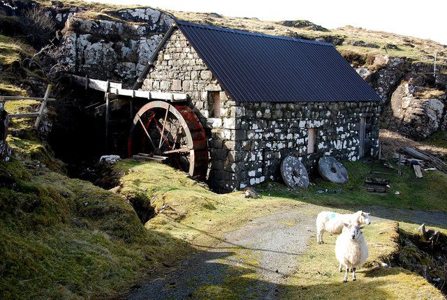
Images are sourced within 2km of 57.438371/-6.742161 or Grid Reference NG1548. Thanks to Geograph Open Source API. All images are credited.

Glendale Water Mill An 18th century corn mill <span class="nowrap"><a title="https://canmore.org.uk/site/173200/skye-glendale-glendale-mill-and-kiln" rel="nofollow ugc noopener" href="https://canmore.org.uk/site/173200/skye-glendale-glendale-mill-and-kiln">Link</a><img style="margin-left:2px;" alt="External link" title="External link - shift click to open in new window" src="https://s1.geograph.org.uk/img/external.png" width="10" height="10"/></span>
Glendale Water Mill
An 18th century corn mill LinkExternal link
Prehistoric cairn at Glendale <span class="nowrap"><a title="https://canmore.org.uk/site/10580/skye-hamaramore" rel="nofollow ugc noopener" href="https://canmore.org.uk/site/10580/skye-hamaramore">Link</a><img style="margin-left:2px;" alt="External link" title="External link - shift click to open in new window" src="https://s1.geograph.org.uk/img/external.png" width="10" height="10"/></span>
Prehistoric cairn at Glendale
Waterstein Head One of the most dramatic and highest of Skye's sea cliffs.
Waterstein Head
One of the most dramatic and highest of Skye's sea cliffs.
Grazing sheep, rusty equipment, and a dilapidated barn
Solitude on Skye—A cyclist conquering Loch Mòr's steep climb
Ben Forsan's stream and contented grazing sheep
A sunny day in Mìolabhvaig—Rough pasture, white houses and coastal cliffs
Awe-inspiring—A mown field near Hamaramore in all its glory
Lower Milovaig phonebox - barricaded The most westerly telephone box in Skye, outside the former Milovaig post office, was barricaded and inaccessible in February 2016.  The number of this telephone is 01470 511208.  People in the village say that it hasn't worked for some time and that the box is used for shelter by stray sheep and hens.
Lower Milovaig phonebox - barricaded
The most westerly telephone box in Skye, outside the former Milovaig post office, was barricaded and inaccessible in February 2016. The number of this telephone is 01470 511208. People in the village say that it hasn't worked for some time and that the box is used for shelter by stray sheep and hens.
Meanish pier The building to the left of the pier is the Category B listed former early 19th century wool store and herring station [<span class="nowrap"><a title="http://portal.historicenvironment.scot/designation/LB482" rel="nofollow ugc noopener" href="http://portal.historicenvironment.scot/designation/LB482">Link</a><img style="margin-left:2px;" alt="External link" title="External link - shift click to open in new window" src="https://s1.geograph.org.uk/img/external.png" width="10" height="10"/></span>].
Meanish pier
The building to the left of the pier is the Category B listed former early 19th century wool store and herring station [LinkExternal link].
Loch Pooltiel A view from Lower Milovaig of the mouth of Loch Pooltiel, with Meanish Pier prominent.
Loch Pooltiel
A view from Lower Milovaig of the mouth of Loch Pooltiel, with Meanish Pier prominent.
Glendale Water Mill This old feature situated where the Hamara River enters Loch Pooltiel is being maintained by the Glendale Estate and is worth a visit.  It is an attractive spot lying in an attractive corner of Skye called Duirinish.
Glendale Water Mill
This old feature situated where the Hamara River enters Loch Pooltiel is being maintained by the Glendale Estate and is worth a visit. It is an attractive spot lying in an attractive corner of Skye called Duirinish.
Camas nan Sidhean The Bay of the Fairies is at the foot of vertiginous cliffs so maybe only the fairies could enjoy this amazing spot!  The panoramic views from Waterstein Head are stunning, but this has to be my favourite.  Neist point adding to the drama.
Camas nan Sidhean
The Bay of the Fairies is at the foot of vertiginous cliffs so maybe only the fairies could enjoy this amazing spot! The panoramic views from Waterstein Head are stunning, but this has to be my favourite. Neist point adding to the drama.
Dramatic Waterstein cliffs Moonen Bay is blessed with these vertiginous cliffs, which add to the imposing spectacle of the area.  To get the full airiness of the situation a walk along the cliff tops is to be recommended.
Dramatic Waterstein cliffs
Moonen Bay is blessed with these vertiginous cliffs, which add to the imposing spectacle of the area. To get the full airiness of the situation a walk along the cliff tops is to be recommended.
Cow Pass? A large herd of cattle are resident on the road to Neist point where they appear to have the right of way!
Cow Pass?
A large herd of cattle are resident on the road to Neist point where they appear to have the right of way!
View from the road to Neist Point This view from the road looks across sheep pasture towards Waterstein Head and The Hoe beyond.
View from the road to Neist Point
This view from the road looks across sheep pasture towards Waterstein Head and The Hoe beyond.
Waterstein Head Waterstein Head as seen on an approach from the north along the edge of a steep downfall which is just as precipitous as that below the Head itself though not so high. There are exposures of an odd brown rock in the area and some can be seen against the main cliff face. Minor slumps of ground can be seen too resulting in the tearing of the turf surface.
Waterstein Head
Waterstein Head as seen on an approach from the north along the edge of a steep downfall which is just as precipitous as that below the Head itself though not so high. There are exposures of an odd brown rock in the area and some can be seen against the main cliff face. Minor slumps of ground can be seen too resulting in the tearing of the turf surface.
Roadside grass with Waterstein Head beyond On the Duirinish peninsula of Skye a minor road reaches Neist before terminating; the view is from that road across an apron of grass descending to the minor stream, Allt na h-Uamha.
Roadside grass with Waterstein Head beyond
On the Duirinish peninsula of Skye a minor road reaches Neist before terminating; the view is from that road across an apron of grass descending to the minor stream, Allt na h-Uamha.
Show me another place!

Ben Forsan is located at Grid Ref: NG1548 (Lat: 57.438371, Lng: -6.742161)

Unitary Authority: Highland

Police Authority: Highlands and Islands

What 3 Words

///transmitted.hacksaw.drive. Near Glendale, Highland

Nearby Locations

Ben Forsan

Related Wikis

Borrodale

Borrodale (Scottish Gaelic: Borodail) is small hamlet on the Isle of Skye, in the Inner Hebrides of Scotland. Borrodale is part of Glendale and the Glendale...

Milovaig

Milovaig (Scottish Gaelic: Mìolabhaig), comprises two small scattered, mixed crofting and residential townships, consisting of Lower Milovaig to the North...

Glendale, Skye

Glendale (Scottish Gaelic: Gleann Dail) is a community-owned estate on the north-western coastline of the Duirinish peninsula on the island of Skye and...

Feriniquarrie

Feriniquarrie (Scottish Gaelic: Fearann MhicGuaire) is a remote scattered crofting township, situated close to Glendale, on the Duirinish peninsula, in...

Nearby Amenities

Located within 500m of 57.438371,-6.742161
Passing Place
Lat/Long: 57.4411693/-6.7484059
Passing Place
Lat/Long: 57.4407485/-6.7490919
The data included in this document is from www.openstreetmap.org. The data is made available under ODbL.

Have you been to Ben Forsan?

Leave your review of Ben Forsan below (or comments, questions and feedback).