Cnoc Mòr
Hill, Mountain in Ross-shire
Scotland
Cnoc Mòr
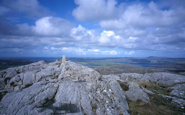
Cnoc Mòr is a prominent hill located in the county of Ross-shire, in the Highland region of Scotland. With an elevation of 679 meters (2,228 feet), it is classified as a Corbett, which is a Scottish mountain between 2,500 and 3,000 feet high.
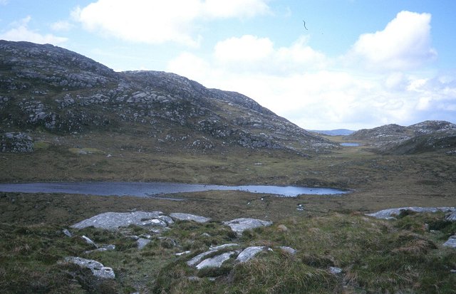
Situated in the stunning landscape of the Scottish Highlands, Cnoc Mòr offers panoramic views of the surrounding area, including the picturesque mountains, glens, and lochs that are characteristic of this region. The hill is located near the village of Garve, approximately 17 kilometers (11 miles) northwest of the town of Dingwall.
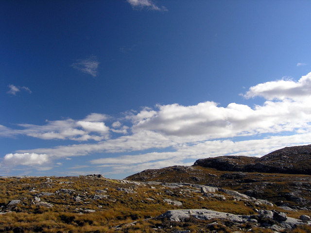
Cnoc Mòr is a popular destination for hikers and outdoor enthusiasts due to its relatively accessible trail and breathtaking vistas. The ascent, although steep in places, is generally moderate and can be completed in a few hours. The path leading to the summit offers varied terrain, including heather-covered slopes, rocky outcrops, and grassy plateaus.
Once at the top, visitors are rewarded with unobstructed views of the surrounding Scottish Highlands, including the nearby Munros of An Teallach and Beinn Dearg. On clear days, it is even possible to catch a glimpse of the distant Isle of Skye and the Inner Hebrides.
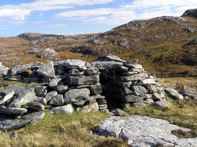
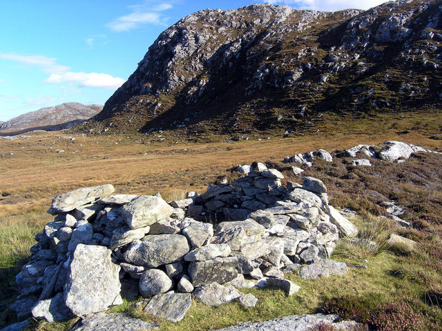
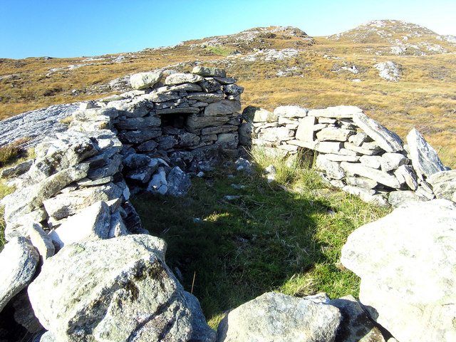
In addition to its natural beauty, Cnoc Mòr also holds historical significance. The hill is home to several ancient cairns and burial mounds, providing a glimpse into the area's past. It is a place where visitors can immerse themselves in both the natural and cultural heritage of the Scottish Highlands.
If you have any feedback on the listing, please let us know in the comments section below.
Cnoc Mòr Images
Images are sourced within 2km of 58.171988/-6.8388735 or Grid Reference NB1530. Thanks to Geograph Open Source API. All images are credited.

Cnoc Mòr is located at Grid Ref: NB1530 (Lat: 58.171988, Lng: -6.8388735)
Unitary Authority: Na h-Eileanan an Iar
Police Authority: Highlands and Islands
What 3 Words
///snoring.worldwide.thunder. Near Carloway, Na h-Eileanan Siar
Nearby Locations
Related Wikis

Callanish VIII
The Callanish VIII stone setting is one of many megalithic structures around the better-known (and larger) Calanais I on the west coast of the Isle of...

Fuaigh Beag
Fuaigh Beag or Vuia Be(a)g is an island in the Outer Hebrides. It is off the west coast of Lewis near Great Bernera in Loch Roag. Its name means "little...
Loch Ròg
Loch Ròg or Loch Roag is a large sea loch on the west coast of Lewis, Outer Hebrides. It is broadly divided into East Loch Roag and West Loch Roag with...

Dun Bharabhat, Great Bernera
Dun Bharabhat (or Dun Baravat) is an Iron Age galleried dun or "semi-broch" situated on the island of Great Bernera near Lewis in Scotland (grid reference...
Nearby Amenities
Located within 500m of 58.171988,-6.8388735Have you been to Cnoc Mòr?
Leave your review of Cnoc Mòr below (or comments, questions and feedback).