Cnoc Leathann

Hill, Mountain in Ross-shire

Scotland

Cnoc Leathann

Camas Bastadh/Bostadh Spelled differently on the map and gazetteer.
Camas Bastadh/Bostadh Credit: John Lucas

Cnoc Leathann is a prominent hill located in Ross-shire, in the Highland region of Scotland. It stands at an elevation of approximately 381 meters (1,250 feet) above sea level. The hill is situated in the northwest of Ross-shire, near the village of Aultbea, and offers stunning panoramic views of the surrounding area.

Cnoc Leathann is known for its beautiful rolling landscape, characterized by heather-covered moorland, scattered with rocky outcrops and small lochs. The hill itself is mainly composed of sedimentary rocks, including sandstone and shale, which have been shaped by the forces of erosion over millions of years.

A popular destination for hikers and nature enthusiasts, Cnoc Leathann is accessible via several walking routes. The ascent to the summit is relatively straightforward, with well-defined paths leading through the hillside. From the top, visitors can admire breathtaking vistas of the surrounding mountains, including Beinn Alligin and Beinn Dearg.

The hill is also home to a variety of wildlife, including red deer, mountain hares, and various bird species. It provides a habitat for a range of upland plants, such as heather, bog moss, and wildflowers, adding to its natural beauty.

Cnoc Leathann is a picturesque and peaceful location, offering visitors the chance to immerse themselves in the tranquility of the Scottish Highlands. Whether it's a challenging hike or a leisurely stroll, this hill provides a memorable experience for all who venture to its summit.

If you have any feedback on the listing, please let us know in the comments section below.

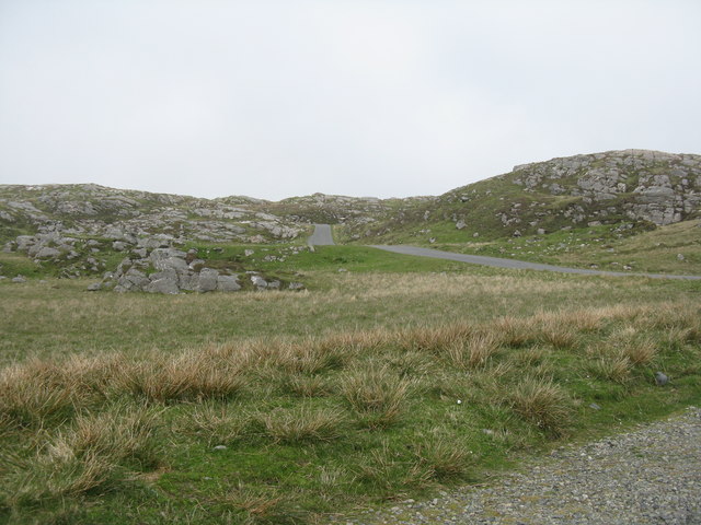
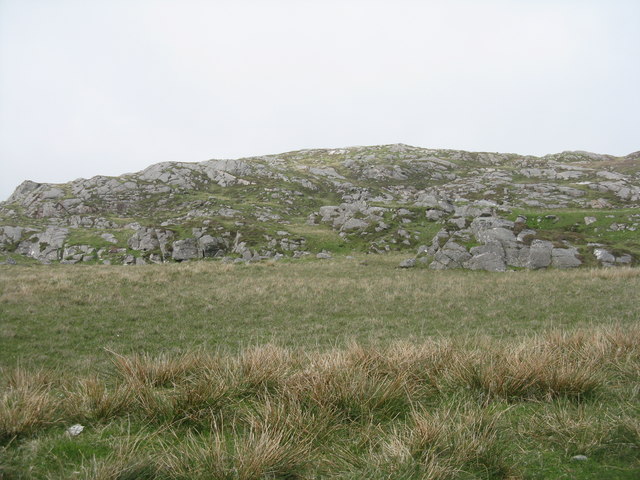
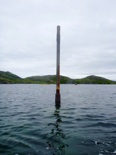
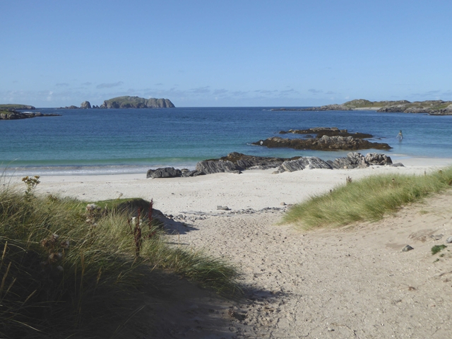
Cnoc Leathann Images

Images are sourced within 2km of 58.244997/-6.8580675 or Grid Reference NB1538. Thanks to Geograph Open Source API. All images are credited.

Camas Bastadh/Bostadh Spelled differently on the map and gazetteer.
Camas Bastadh/Bostadh
Spelled differently on the map and gazetteer.
The cemetery at Bostadh Perhaps not a surprising number of burials for such a remote location, as it is a very desirable place to be laid to rest.
The cemetery at Bostadh
Perhaps not a surprising number of burials for such a remote location, as it is a very desirable place to be laid to rest.
The road to Bostadh With Siaram Bostadh in mid view on the left side.
The road to Bostadh
With Siaram Bostadh in mid view on the left side.
Bostadh Iron Age House The reconstructed house, viewed looking south.
Bostadh Iron Age House
The reconstructed house, viewed looking south.
Information about Bostadh Iron Age Village The Gaelic version.
Information about Bostadh Iron Age Village
The Gaelic version.
Information about Bostadh Iron Age Village The English version.
Information about Bostadh Iron Age Village
The English version.
Public convenience at Bostadh Near the end of the road at the cemetery and Iron Age Village.
Public convenience at Bostadh
Near the end of the road at the cemetery and Iron Age Village.
Camas Bostadh Sand dunes at Bostadh, looking to a cloud-covered Flodaigh.
Camas Bostadh
Sand dunes at Bostadh, looking to a cloud-covered Flodaigh.
Iron Age Village at Bostadh A reconstructed house and, farther up the valley, traces of other houses.
Iron Age Village at Bostadh
A reconstructed house and, farther up the valley, traces of other houses.
Garden Tiger Moth larva A larva of Arctia caja on the path close to the Iron Age house at Bostadh. Thin plant growth on sand, with clear signs of rabbit grazing.
Garden Tiger Moth larva
A larva of Arctia caja on the path close to the Iron Age house at Bostadh. Thin plant growth on sand, with clear signs of rabbit grazing.
Iron Age House at Bostadh The inland end. Beyond is the path down from the car park.
Iron Age House at Bostadh
The inland end. Beyond is the path down from the car park.
Entrance to the Iron Age House A gap in the surrounding wall leads to the top of steps leading down to an underground entrance.
Entrance to the Iron Age House
A gap in the surrounding wall leads to the top of steps leading down to an underground entrance.
Iron Age House Underground doorway at the foot of the entrance steps. It is possible to go inside when the site is open.
Iron Age House
Underground doorway at the foot of the entrance steps. It is possible to go inside when the site is open.
Steps at the Iron Age House Leading up from the underground entrance.
Steps at the Iron Age House
Leading up from the underground entrance.
The road from Bostadh Near the cul-de-sac by the cemetery and Iron Age Village, at the northern end of Great Bernera/Beàrnaraigh.
The road from Bostadh
Near the cul-de-sac by the cemetery and Iron Age Village, at the northern end of Great Bernera/Beàrnaraigh.
Cnoc Ruinagaidh A rocky out crop near the roadend at Bostadh.
Cnoc Ruinagaidh
A rocky out crop near the roadend at Bostadh.
Perch in Caolas Bearnaraigh Beag I was intrigued as I paddled along Caolas Bearnaraigh Beag to see this rusting metal pillar, looking for all the world like a misplaced lamppost. The large-scale map shows rocks here, which certainly weren't obvious from the water in these calm conditions, so this perch fulfils the important purpose of marking the rocks for the benefit of those in boats not of a sufficiently shallow draught to pass over them. There is no light, and I imagine it would be pretty hard to see in the dark, but I suspect that, sea kayakers apart, there is not much other than local traffic here, with skippers who know the water.
Perch in Caolas Bearnaraigh Beag
I was intrigued as I paddled along Caolas Bearnaraigh Beag to see this rusting metal pillar, looking for all the world like a misplaced lamppost. The large-scale map shows rocks here, which certainly weren't obvious from the water in these calm conditions, so this perch fulfils the important purpose of marking the rocks for the benefit of those in boats not of a sufficiently shallow draught to pass over them. There is no light, and I imagine it would be pretty hard to see in the dark, but I suspect that, sea kayakers apart, there is not much other than local traffic here, with skippers who know the water.
The beach at Bostadh The Island of Bearasaigh on the horizon.
The beach at Bostadh
The Island of Bearasaigh on the horizon.
Show me another place!

Cnoc Leathann is located at Grid Ref: NB1538 (Lat: 58.244997, Lng: -6.8580675)

Unitary Authority: Na h-Eileanan an Iar

Police Authority: Highlands and Islands

What 3 Words

///digs.briskly.tomato. Near Carloway, Na h-Eileanan Siar

Related Wikis

Bernera Riot

The Bernera Riot occurred in 1874, on the island of Great Bernera, in Scotland in response to the Highland Clearances. The use of the term 'Bernera Riot...

Great Bernera

Great Bernera (; Scottish Gaelic: Beàrnaraigh Mòr), often known just as Bernera (Scottish Gaelic: Beàrnaraigh), is an island and community in the Outer...

Breaclete

Breacleit (or Roulanish; Scottish Gaelic: Breacleit; Old Norse: Breiðiklettr) is the central village on Great Bernera in the Outer Hebrides, Scotland....

Little Bernera

Little Bernera (Scottish Gaelic: Beàrnaraigh Beag) is a small island situated off the west coast of the Isle of Lewis in the Outer Hebrides.Little Bernera...

Related Videos

Outer Hebrides, Bostadh Beach

Bostadh Beach, Isle of Lewis, June 19th 2021.

Outer Hebrides, Scotland, June 18th 2021

Ferry from Ullapool to Stornoway, car from Isle of Harris to Isle of Lewis and finally ending at Bosta Beach,

Nearby Amenities

Located within 500m of 58.244997,-6.8580675
Passing Place
Lat/Long: 58.2472709/-6.8578941
Barrier: cattle_grid
Source: Bing
Lat/Long: 58.2433863/-6.8540232
Passing Place
Lat/Long: 58.242085/-6.8643244
Passing Place
Lat/Long: 58.2476411/-6.8545505
Passing Place
Lat/Long: 58.2461901/-6.8566128
Bus Stop
Croir, Road End
Naptan AtcoCode: 60101256
Naptan NaptanCode: 94727958
Lat/Long: 58.245124/-6.855168
Passing Place
Lat/Long: 58.2417082/-6.8538002
Passing Place
Lat/Long: 58.2448009/-6.8549747
Passing Place
Lat/Long: 58.2459473/-6.8542098
Passing Place
Lat/Long: 58.2465303/-6.8536707
Power: pole
Lat/Long: 58.2453838/-6.8543709
Power: pole
Lat/Long: 58.2456308/-6.8542582
Power: pole
Lat/Long: 58.2464425/-6.8539122
Power: pole
Lat/Long: 58.243296/-6.8530861
Power: pole
Lat/Long: 58.2437759/-6.8526999
Power: pole
Lat/Long: 58.2443971/-6.8533356
Power: pole
Lat/Long: 58.2450139/-6.8539712
Power: pole
Lat/Long: 58.24248/-6.853762
Power: pole
Lat/Long: 58.241585/-6.8540195
Power: pole
Lat/Long: 58.2482845/-6.8539552
Power: pole
Lat/Long: 58.2475463/-6.853931
The data included in this document is from www.openstreetmap.org. The data is made available under ODbL.

Have you been to Cnoc Leathann?

Leave your review of Cnoc Leathann below (or comments, questions and feedback).