Beinn a' Chàrnain
Hill, Mountain in Ross-shire
Scotland
Beinn a' Chàrnain
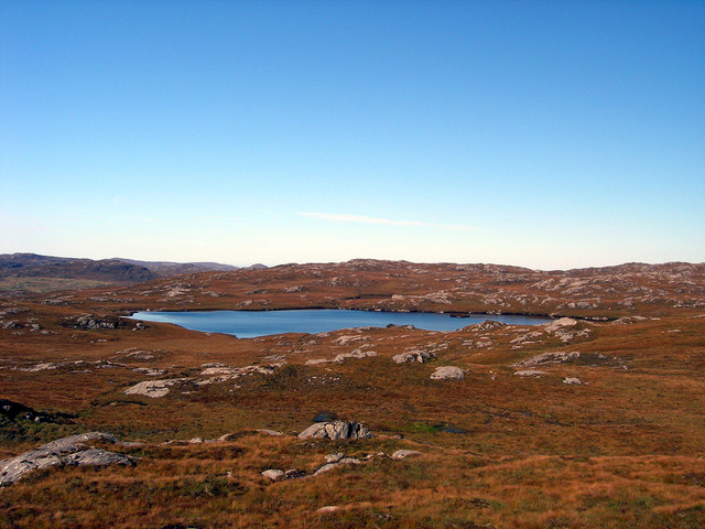
Beinn a' Chàrnain is a prominent hill located in Ross-shire, Scotland. It is part of the Northwest Highlands and rises to an elevation of approximately 773 meters (2,536 feet). The hill is situated in the remote and rugged landscape of the Scottish Highlands, offering breathtaking views of the surrounding countryside.
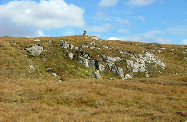
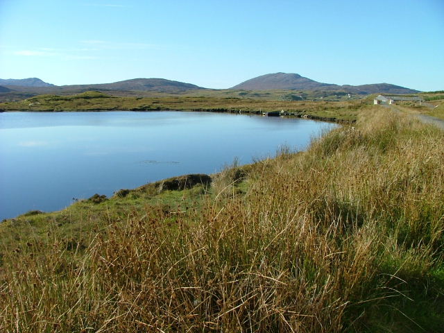
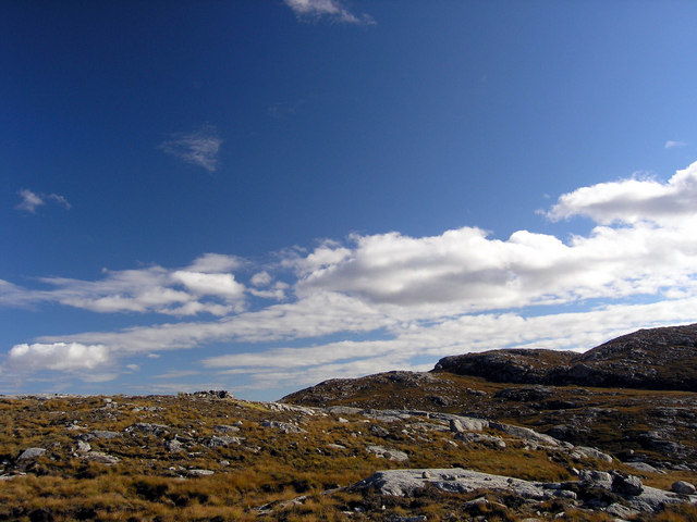
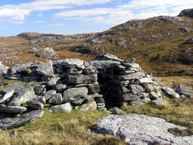
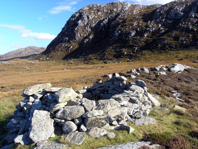
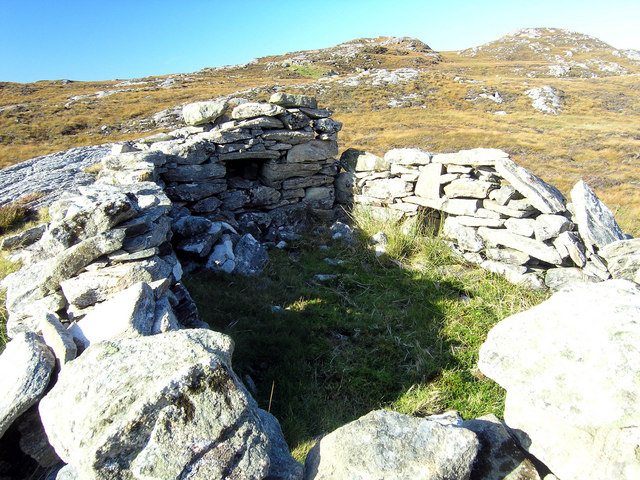
Beinn a' Chàrnain is characterized by its steep slopes and rocky terrain, making it a challenging but rewarding climb for outdoor enthusiasts and hillwalkers. The ascent to the summit provides stunning vistas of the nearby mountains and glens, including the picturesque Strathconon and Glen Orrin.
The hill is covered in heather and grasses, creating a colorful landscape during the summer months. It is also home to a variety of wildlife, including red deer and birds of prey such as golden eagles and peregrine falcons. Nature lovers and birdwatchers can enjoy spotting these magnificent creatures while exploring the hill's trails.
The hill is easily accessible from the nearby town of Muir of Ord, and there are several routes available to reach the summit. One popular route starts from Strathconon and follows a path that gradually ascends through the hill's eastern slopes. This route offers stunning views of Loch Meig and the surrounding glens.
Overall, Beinn a' Chàrnain is a captivating natural landmark in Ross-shire, Scotland, offering outdoor enthusiasts a chance to immerse themselves in the beauty of the Scottish Highlands while enjoying a challenging hike or climb.
If you have any feedback on the listing, please let us know in the comments section below.
Beinn a' Chàrnain Images
Images are sourced within 2km of 58.153805/-6.8455549 or Grid Reference NB1528. Thanks to Geograph Open Source API. All images are credited.
Beinn a' Chàrnain is located at Grid Ref: NB1528 (Lat: 58.153805, Lng: -6.8455549)
Unitary Authority: Na h-Eileanan an Iar
Police Authority: Highlands and Islands
What 3 Words
///caps.playfully.ferrying. Near Carloway, Na h-Eileanan Siar
Nearby Locations
Related Wikis

Gisla Hydro-Electric Scheme
Gisla Hydro-Electric Scheme was a small scheme promoted by the North of Scotland Hydro-Electric Board on the Isle of Lewis, Outer Hebrides, Scotland. It...

Fuaigh Beag
Fuaigh Beag or Vuia Be(a)g is an island in the Outer Hebrides. It is off the west coast of Lewis near Great Bernera in Loch Roag. Its name means "little...

Callanish VIII
The Callanish VIII stone setting is one of many megalithic structures around the better-known (and larger) Calanais I on the west coast of the Isle of...
Loch Ròg
Loch Ròg or Loch Roag is a large sea loch on the west coast of Lewis, Outer Hebrides. It is broadly divided into East Loch Roag and West Loch Roag with...
Nearby Amenities
Located within 500m of 58.153805,-6.8455549Have you been to Beinn a' Chàrnain?
Leave your review of Beinn a' Chàrnain below (or comments, questions and feedback).