Àird Hurnais
Hill, Mountain in Inverness-shire
Scotland
Àird Hurnais

Àird Hurnais, located in Inverness-shire, is a prominent hill/mountain in the Scottish Highlands. Rising to an elevation of approximately 1,527 feet (465 meters), it offers breathtaking views and a challenging terrain for outdoor enthusiasts.
Situated near the village of Farr, Àird Hurnais is surrounded by picturesque landscapes, characterized by rolling hills, lush greenery, and tranquil lochs. The mountain is part of the larger Monadhliath mountain range, which stretches across Inverness-shire and provides a stunning backdrop for the area.
The ascent of Àird Hurnais presents a variety of terrains, from well-defined paths to rocky ridges, offering hikers and climbers a diverse and exhilarating experience. It is a popular destination for both experienced mountaineers and those looking to explore the Highland scenery.
The summit of Àird Hurnais rewards visitors with panoramic views of the surrounding countryside, including the River Nairn, the Moray Firth, and the distant peaks of the Cairngorms National Park. On clear days, it is even possible to catch a glimpse of the Isle of Skye to the west.
The area surrounding Àird Hurnais is rich in wildlife, with opportunities to spot various bird species, including golden eagles and ptarmigans. The hill is also home to a range of flora, including heather, mosses, and wildflowers, creating a vibrant and colorful landscape throughout the seasons.
Whether it is for a challenging mountain climb, a leisurely hike, or simply to immerse oneself in the beauty of the Scottish Highlands, Àird Hurnais offers a captivating and unforgettable experience for nature lovers and outdoor enthusiasts.
If you have any feedback on the listing, please let us know in the comments section below.
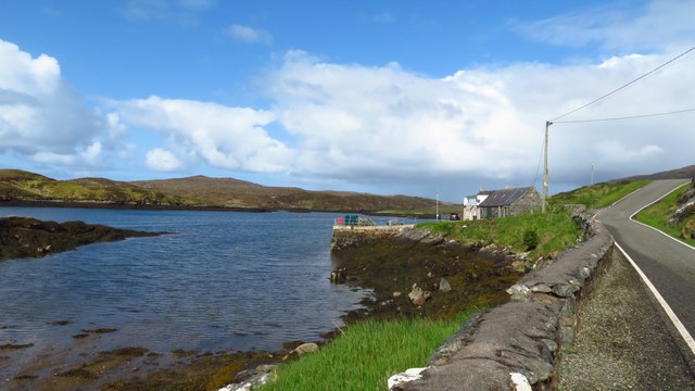
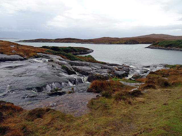
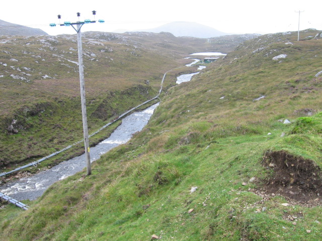
Àird Hurnais Images
Images are sourced within 2km of 57.953175/-6.9670517 or Grid Reference NB0606. Thanks to Geograph Open Source API. All images are credited.


Àird Hurnais is located at Grid Ref: NB0606 (Lat: 57.953175, Lng: -6.9670517)
Unitary Authority: Na h-Eileanan an Iar
Police Authority: Highlands and Islands
What 3 Words
///stealthier.former.mergers. Near Tarbert, Na h-Eileanan Siar
Nearby Locations
Related Wikis

Soay Sound
Soay Sound (Scottish Gaelic: Caolas Shòdhaigh) is a strait separating the islands of Soay Mòr and Soay Beag from the northern part of Harris. The sound...

Soay Beag
Soay Beag (Scottish Gaelic: Sòdhaigh Beag) is a small, uninhabited tidal island in West Loch Tarbert, between the northern and southern parts of Harris...

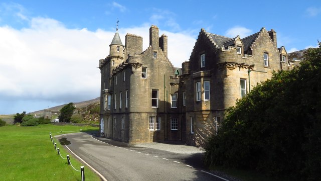
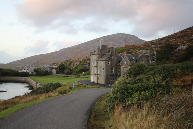
Amhuinnsuidhe Castle
Amhuinnsuidhe Castle is a large 19th-century private country house on Harris, one of the Western Isles of Scotland. It was designated as a Category A listed...

Soay Mòr
Soay Mòr (Scottish Gaelic: Sòdhaigh Mòr) is an island in West Loch Tarbert, between the northern and southern parts of Harris. The uninhabited island is...
Nearby Amenities
Located within 500m of 57.953175,-6.9670517Have you been to Àird Hurnais?
Leave your review of Àird Hurnais below (or comments, questions and feedback).