Rubha Mòr

Hill, Mountain in Ross-shire

Scotland

Rubha Mòr

Gob Geòdha nam Bradan
Gob Geòdha nam Bradan Credit: Sandy Gerrard

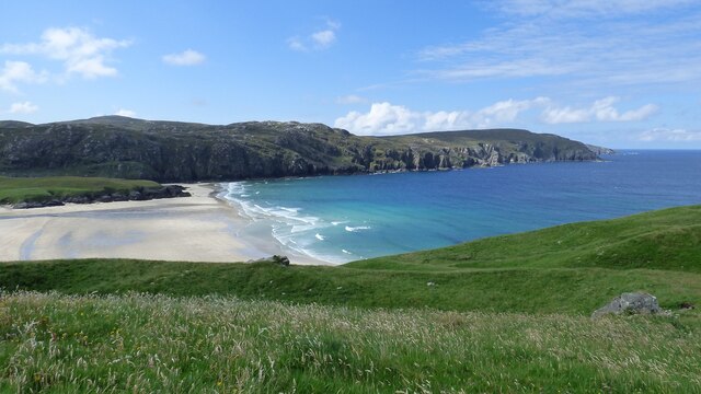
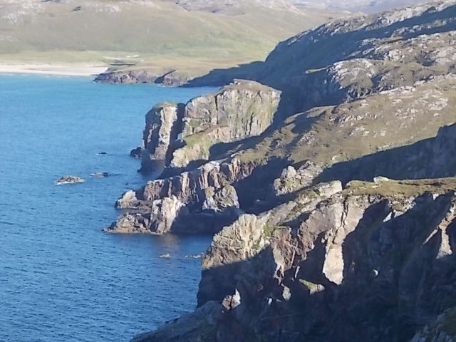
Rubha Mòr is a prominent hill located in Ross-shire, Scotland. Situated on the western coast of the Highlands, this mountain rises to an elevation of approximately 724 meters (2,375 feet). It is part of the Torridon Hills range, renowned for their dramatic landscapes and challenging terrains, making Rubha Mòr a popular destination for hikers and mountaineers.

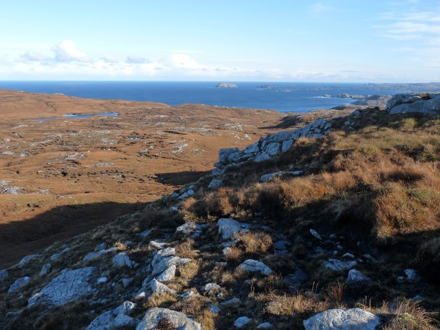
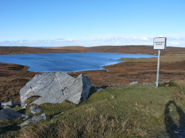
The hill's name, Rubha Mòr, translates to "big promontory" in Gaelic, reflecting its prominent position jutting out into the surrounding landscape. It offers breathtaking panoramic views of the surrounding rugged terrain, including the nearby Loch Torridon and the surrounding mountains.

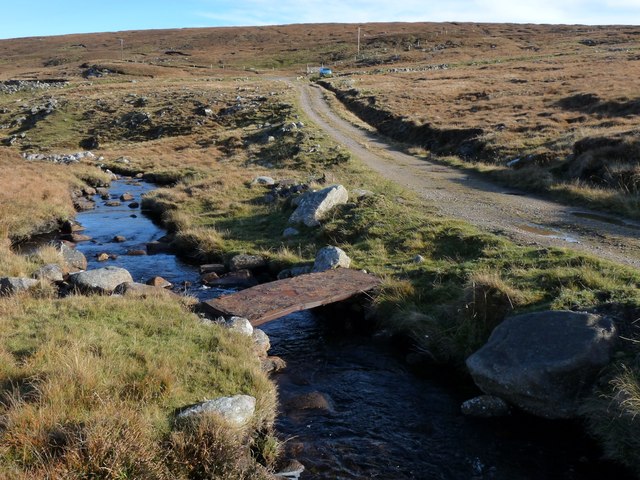
The ascent to the summit of Rubha Mòr can be challenging, with steep gradients and rocky paths. However, the reward is well worth the effort, as the summit provides stunning vistas of the surrounding area, showcasing the raw beauty of the Scottish Highlands.

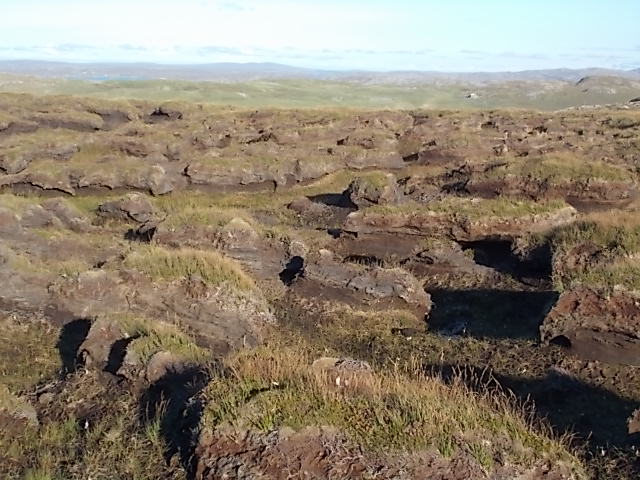
The hill is also known for its diverse flora and fauna. The lower slopes are covered in heather and moorland vegetation, while higher up, one can find alpine plants such as dwarf willow and saxifrages. Wildlife enthusiasts may spot red deer, golden eagles, and ptarmigans, among other species, during their ascent.

Rubha Mòr is a popular destination for outdoor enthusiasts, offering a challenging yet rewarding experience for those seeking to explore the stunning landscapes and natural wonders of the Scottish Highlands.

If you have any feedback on the listing, please let us know in the comments section below.
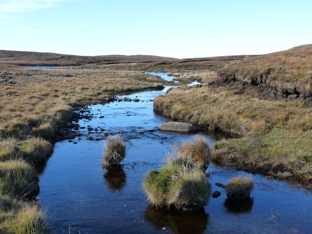
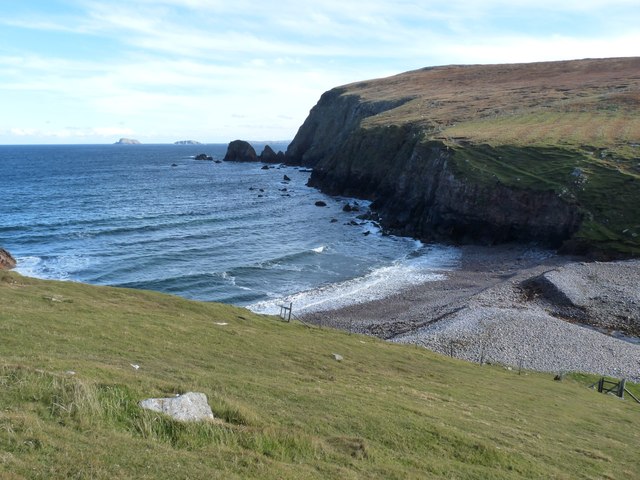
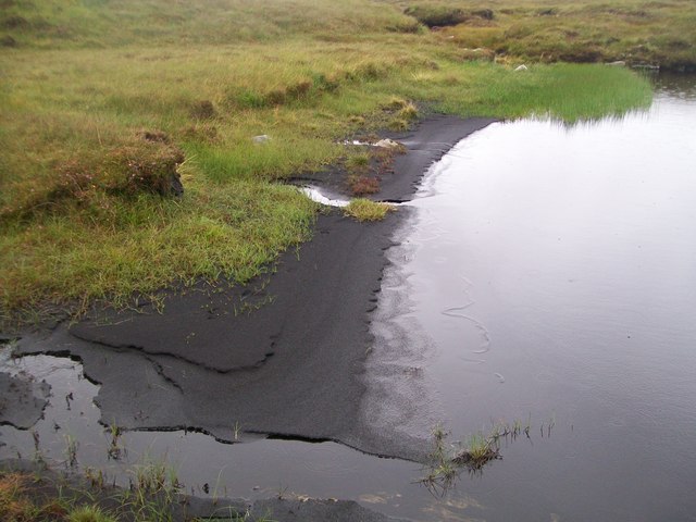
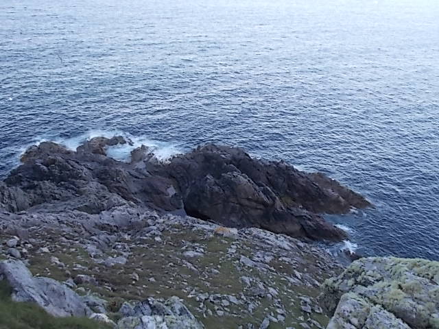
Rubha Mòr Images

Images are sourced within 2km of 58.231804/-7.0076298 or Grid Reference NB0637. Thanks to Geograph Open Source API. All images are credited.

Gob Geòdha nam Bradan
Moor north of Forsnabhal
Loch Mheacleit Boulder cleared during the road cutting work.
Loch Mheacleit
Boulder cleared during the road cutting work.
Outflow from Loch Mheacleit A rudimentary foot bridge crosses the burn
Outflow from Loch Mheacleit
A rudimentary foot bridge crosses the burn
Outflow from Loch Mheacleit Moorland burn
Outflow from Loch Mheacleit
Moorland burn
Aird Uig
Aird Uig
Aird Uig Rejuvenated military camp
Aird Uig
Rejuvenated military camp
Camas na h-Airde
Camas na h-Airde
Loch Deireadh Banaig Failed to catch fish from here and saw none, but beautifully remote. Not sure of name translation, the "last white loch"?
Loch Deireadh Banaig
Failed to catch fish from here and saw none, but beautifully remote. Not sure of name translation, the "last white loch"?
Loch Mor, Uig, Lewis Lots of small trout to be caught.
Loch Mor, Uig, Lewis
Lots of small trout to be caught.
Peat beach at western end of Loch Deireadh Banaig
Natural arch, Cliobh, Lewis
Rubha Brataig Despite being adjacent to the tallest and steepest cliffs in Lewis, one can access these rocks in calm weather, a good pollack mark, but a very steep walk back up!
Rubha Brataig
Despite being adjacent to the tallest and steepest cliffs in Lewis, one can access these rocks in calm weather, a good pollack mark, but a very steep walk back up!
South west edge of Camas na Clibhe Looking back to Clibhe beach and coastline from Rubha Brataig
South west edge of Camas na Clibhe
Looking back to Clibhe beach and coastline from Rubha Brataig
Peat hags Stay up slope as much as you can to avoid walking through this "moonscape". A line from the end of Loch Deireadh Banaig to Rubha Mor should avoid the worst but not all, tough walking!
Peat hags
Stay up slope as much as you can to avoid walking through this "moonscape". A line from the end of Loch Deireadh Banaig to Rubha Mor should avoid the worst but not all, tough walking!
Former military camp with radar station, Àird Uig
Gleann Gruide Batail
Loch a' Rubha Chaoil Apparently this was stocked with trout for servicemen to fish for when it was a RAF station, the end has a small dam to raise the level. I think the fish have long gone, nothing came to my fly anyway! No obvious spawning areas.
Loch a' Rubha Chaoil
Apparently this was stocked with trout for servicemen to fish for when it was a RAF station, the end has a small dam to raise the level. I think the fish have long gone, nothing came to my fly anyway! No obvious spawning areas.
Show me another place!

Rubha Mòr is located at Grid Ref: NB0637 (Lat: 58.231804, Lng: -7.0076298)

Unitary Authority: Na h-Eileanan an Iar

Police Authority: Highlands and Islands

What 3 Words

///chose.budding.dispenser. Near Carloway, Na h-Eileanan Siar

Related Wikis

Aird Uig

Aird Uig (Scottish Gaelic: Àird Ùig) is a village on the Isle of Lewis, in the Outer Hebrides, Scotland. Aird Uig is within the parish of Uig, and is situated...

Cliff, Lewis

Cliff (Scottish Gaelic: Cliobh) is a small settlement on the Isle of Lewis, in the Outer Hebrides, Scotland. Cliff is within the parish of Uig. The settlement...

Camas Uig

Camas Uig (Uig Bay) is a bay on the west coast of the Isle of Lewis, in the Outer Hebrides of Scotland. The Lewis Chessmen were discovered in the dunes...

Kneep

Kneep (Scottish Gaelic: Cnìp) is a village on the Isle of Lewis, in the Outer Hebrides, Scotland. Kneep is within the parish of Uig.Various archaeological...

Nearby Amenities

Located within 500m of 58.231804,-7.0076298
Rudha Mòr
Ele: 160
Natural: peak
Source: OS7
Lat/Long: 58.2316827/-7.0077092
The data included in this document is from www.openstreetmap.org. The data is made available under ODbL.

Have you been to Rubha Mòr?

Leave your review of Rubha Mòr below (or comments, questions and feedback).