Tiorga Beag
Hill, Mountain in Inverness-shire
Scotland
Tiorga Beag

The requested URL returned error: 429 Too Many Requests
If you have any feedback on the listing, please let us know in the comments section below.
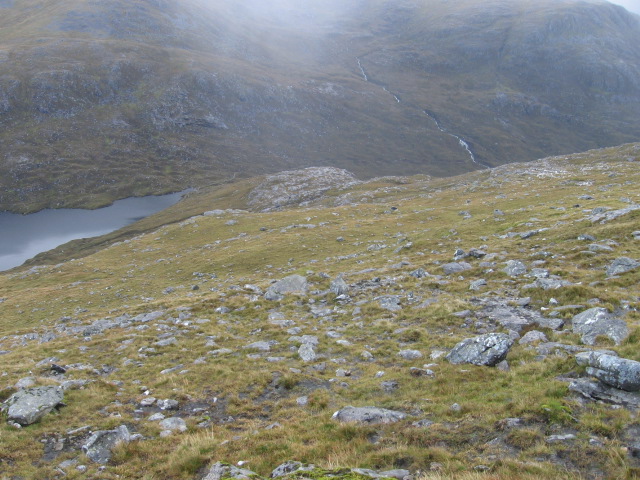
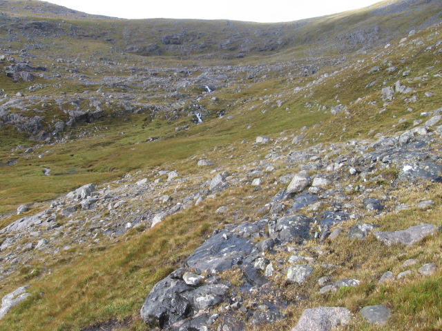
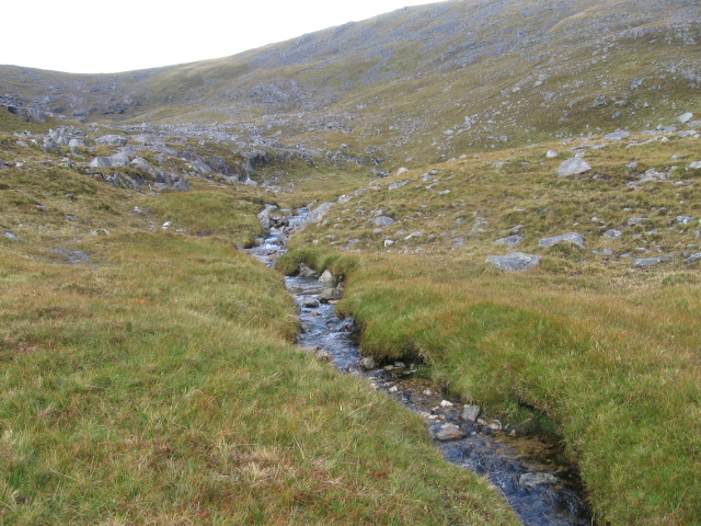
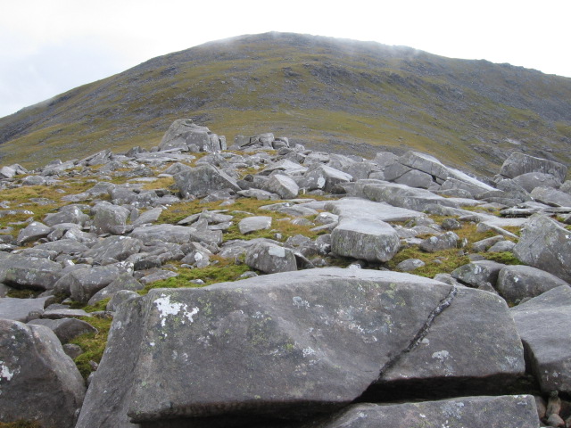
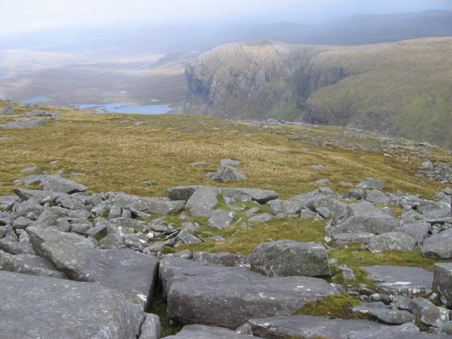
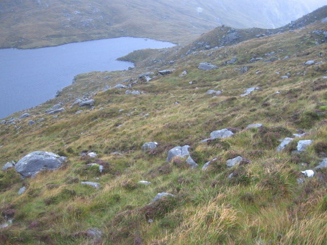
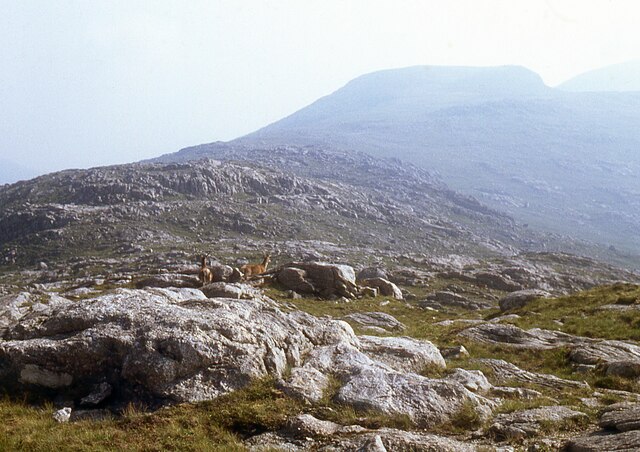
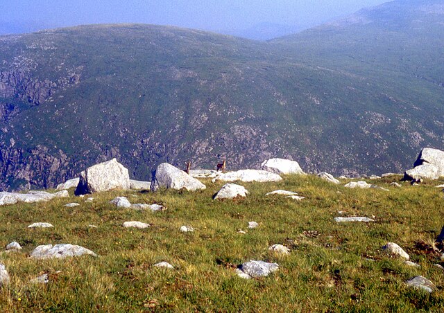
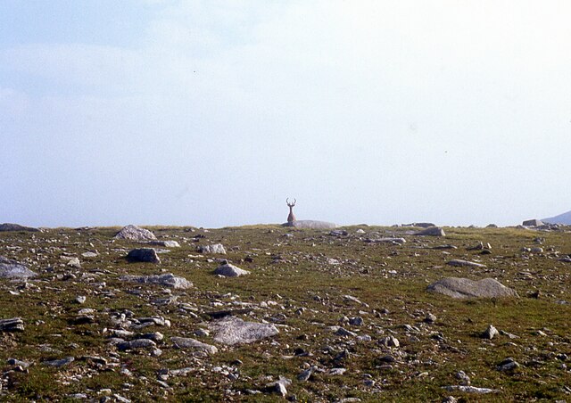
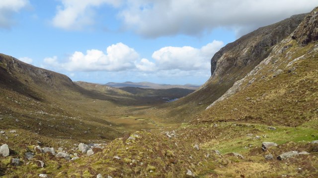
Tiorga Beag Images
Images are sourced within 2km of 58.000958/-6.9766494 or Grid Reference NB0612. Thanks to Geograph Open Source API. All images are credited.


Tiorga Beag is located at Grid Ref: NB0612 (Lat: 58.000958, Lng: -6.9766494)
Unitary Authority: Na h-Eileanan an Iar
Police Authority: Highlands and Islands
What 3 Words
///scatter.kidney.strut. Near Tarbert, Na h-Eileanan Siar
Nearby Locations
Related Wikis

Tiorga Mor
Tiorga Mor (679 m) is a mountain in Harris, in the Outer Hebrides of Scotland. The most westerly peak of the high mountains of Harris, it is a very rugged...

Uladail
Uladail is a location near Amhuinnsuidhe, on Harris in the Outer Hebrides, Scotland. Sron Ulladail is a sheer cliff which at 370 metres (1,210 ft) is one...

Chliostair Hydro-Electric Scheme
Chliostair Hydro-Electric Scheme is a small scheme promoted by the North of Scotland Hydro-Electric Board on Harris, Outer Hebrides. It consists of a single...

Oireabhal
Oireabhal (662 m) is a mountain in Harris, in the Outer Hebrides of Scotland. The peak is the highest point on a complex ridge that runs from north to...
Have you been to Tiorga Beag?
Leave your review of Tiorga Beag below (or comments, questions and feedback).