Cnoc Thatorail

Hill, Mountain in Ross-shire

Scotland

Cnoc Thatorail

Loch Brunabhal and Loch na Gillean
Loch Brunabhal and Loch na Gillean Credit: Alan Reid

Cnoc Thatorail is a prominent hill located in Ross-shire, a county in the Highland region of Scotland. It is situated near the village of Garve, about 20 miles northwest of Inverness. With an elevation of approximately 1,200 feet (366 meters), Cnoc Thatorail is considered a hill rather than a mountain.

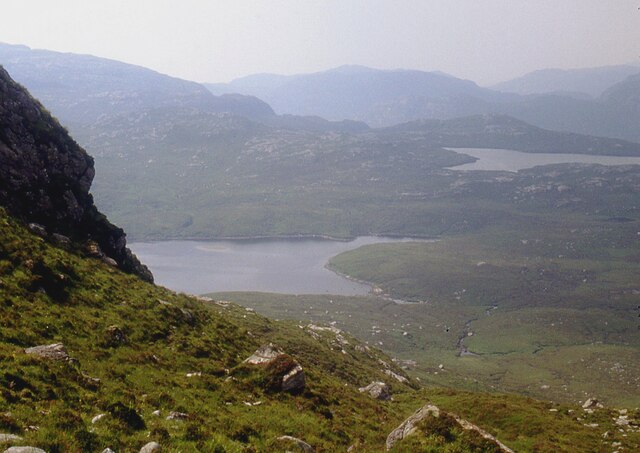
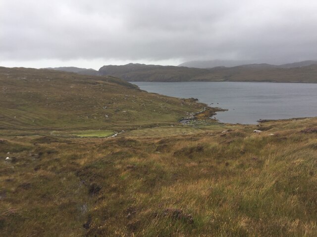
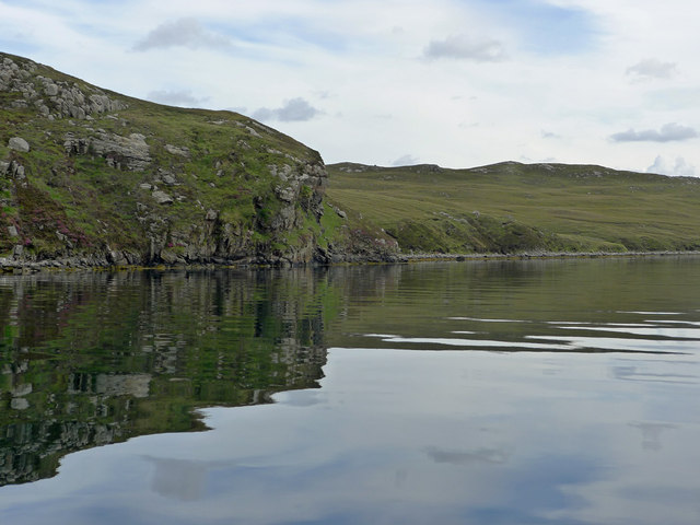
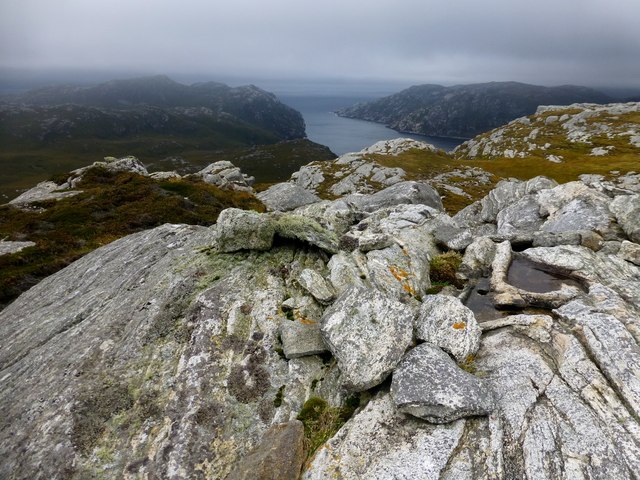
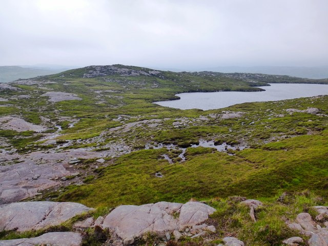
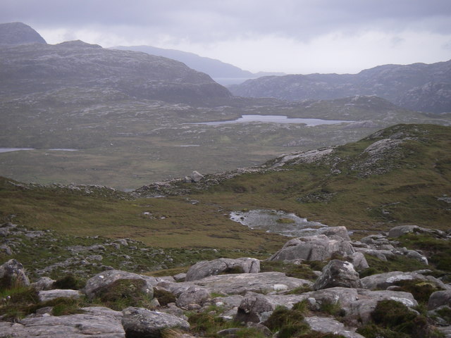
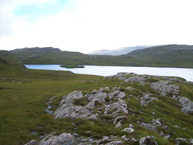
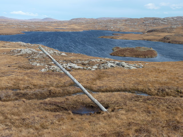
The hill is characterized by its distinctive conical shape, which offers stunning panoramic views of the surrounding countryside. It is covered in heather and grass, creating a picturesque landscape, especially during the summer months when the hillside is adorned with vibrant colors.

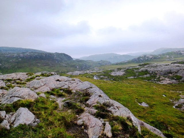
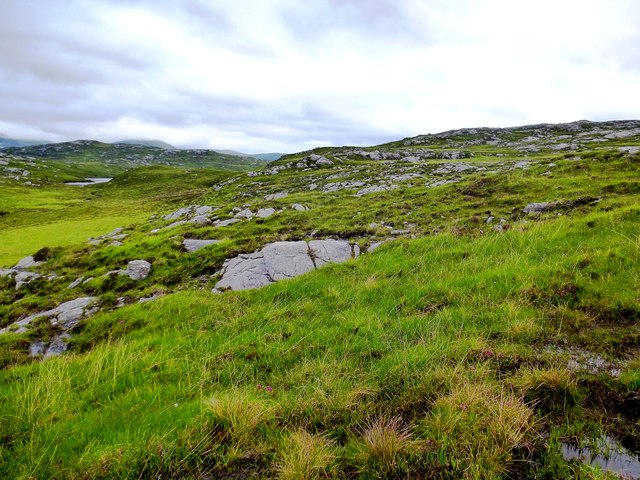
Cnoc Thatorail is a popular destination for hikers and nature enthusiasts. There are various paths and trails that lead to the summit, providing opportunities for both beginners and experienced climbers to enjoy the climb. The ascent is relatively gentle, making it accessible to most fitness levels.

At the summit of Cnoc Thatorail, visitors are rewarded with breathtaking views of the nearby hills, valleys, and lochs, including Loch Garve and Loch Luichart. On a clear day, it is even possible to see as far as the mountains of the Wester Ross region.

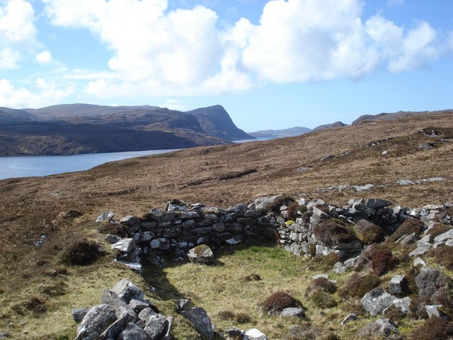
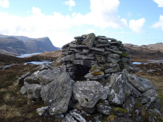
The hill's location in the Scottish Highlands adds to its allure, as it is surrounded by other natural attractions such as Glen Affric and the Black Water River. These areas offer additional opportunities for outdoor activities such as fishing, birdwatching, and photography.

Overall, Cnoc Thatorail is a beautiful and easily accessible hill in Ross-shire, offering visitors a chance to immerse themselves in the stunning Scottish landscape.

If you have any feedback on the listing, please let us know in the comments section below.

Cnoc Thatorail Images

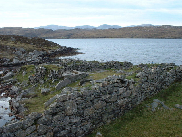
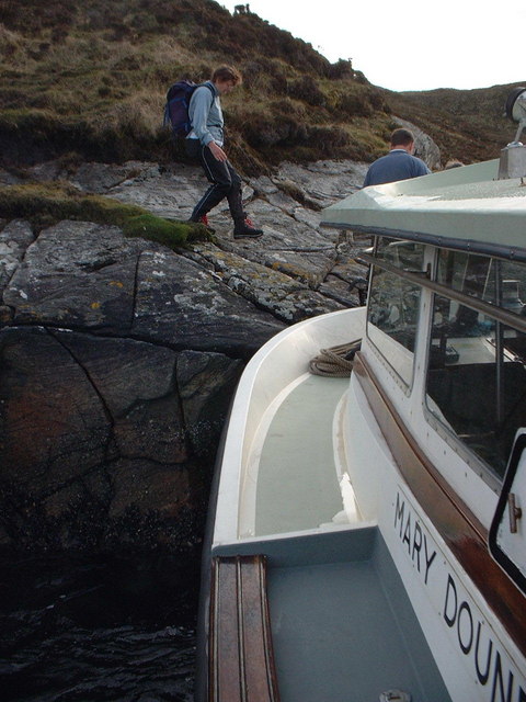
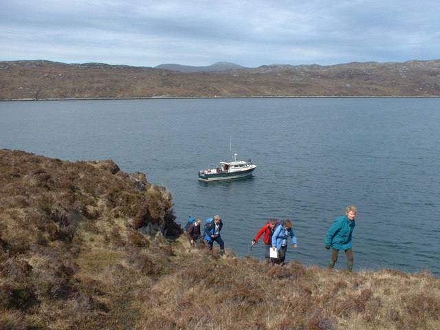
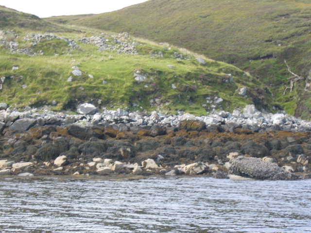
Images are sourced within 2km of 58.048518/-6.9877895 or Grid Reference NB0517. Thanks to Geograph Open Source API. All images are credited.

Loch Brunabhal and Loch na Gillean
Old Shielings at Dirascal Abandoned shielings at Dirascal between Cravadale and Loch Reasort (water in background).
Old Shielings at Dirascal
Abandoned shielings at Dirascal between Cravadale and Loch Reasort (water in background).
Creag an Fhithich The coastline of Loch Resort becomes less rugged on its northern side as you venture further up the loch, and beyond this point evidence appears sporadically of shielings, lazybeds and once used buildings.
Creag an Fhithich
The coastline of Loch Resort becomes less rugged on its northern side as you venture further up the loch, and beyond this point evidence appears sporadically of shielings, lazybeds and once used buildings.
The derelict houses at Dirascal This would have been a very harsh environment to make a living.
The derelict houses at Dirascal
This would have been a very harsh environment to make a living.
Sneathabhal Mor Third HuMP around the north of Loch Resort via an Alan Holmes RIB trip. Just a brilliant trip.
Name: Sneathabhal Mor
Hill number: 4949
Height: 175m / 574ft
Area: 24A: Lewis and Nearby Islands
Class: Hu,1
Grid ref: NB043177 (est)
Drop: 114m
Col: 61m  NB054178
Sneathabhal Mor
Third HuMP around the north of Loch Resort via an Alan Holmes RIB trip. Just a brilliant trip. Name: Sneathabhal Mor Hill number: 4949 Height: 175m / 574ft Area: 24A: Lewis and Nearby Islands Class: Hu,1 Grid ref: NB043177 (est) Drop: 114m Col: 61m NB054178
Loch na Gillean Western corner of Loch na Gillean on Harris.
Loch na Gillean
Western corner of Loch na Gillean on Harris.
Across the lower valley of the Abhainn Bhearraraigh This rocky valley contains the Abhainn Bhearraraigh that flows north into Loch Reasort between the photographer and the crags in the middle ground.
Across the lower valley of the Abhainn Bhearraraigh
This rocky valley contains the Abhainn Bhearraraigh that flows north into Loch Reasort between the photographer and the crags in the middle ground.
Southwest slopes of Corcasmol Rocky outcrops and wet peat on the slopes of Corcasmol. (The photograph also shows some of the adjacent square <a href="https://www.geograph.org.uk/gridref/NB0518">NB0518</a> - the loch in the western corner is the southern corner of Loch Bodabhat where the Abhainn Sgianuillt flows out)
Southwest slopes of Corcasmol
Rocky outcrops and wet peat on the slopes of Corcasmol. (The photograph also shows some of the adjacent square NB0518 - the loch in the western corner is the southern corner of Loch Bodabhat where the Abhainn Sgianuillt flows out)
Boulder on North Shore of Loch Reasort Reached this point after a 13 mile cycle/walk from Uig. While sitting here the bay was circled by a golden eagle.
Boulder on North Shore of Loch Reasort
Reached this point after a 13 mile cycle/walk from Uig. While sitting here the bay was circled by a golden eagle.
Mullach an Ron View towards Scarp from Mullach an Ron.
Mullach an Ron
View towards Scarp from Mullach an Ron.
Loch Bodabhat
Loch Bodabhat
Shielings above Loch Resort A view of the shielings shown on the map at this location
Shielings above Loch Resort
A view of the shielings shown on the map at this location
Beehive cairn at NB 06572 17806 This cairn is similar but smaller to the ones on the Airigh a' Chlair Mhoir  <a href="https://www.geograph.org.uk/gridref/NB120160">NB120160</a>, and is likely to be associated with the nearby shielings. Might they be smokehouses or drying houses for fish meat or grain?
Beehive cairn at NB 06572 17806
This cairn is similar but smaller to the ones on the Airigh a' Chlair Mhoir NB120160, and is likely to be associated with the nearby shielings. Might they be smokehouses or drying houses for fish meat or grain?
Dirascal on shore of Loch Reasort How isolated can you get!
Dirascal on shore of Loch Reasort
How isolated can you get!
Makeshift jetty on south side of Loch Reasort One of the few places where we could land without using the inflatable.
Makeshift jetty on south side of Loch Reasort
One of the few places where we could land without using the inflatable.
South shore of Loch Reasort A useful location to start an expedition over the Forest of Harris.
South shore of Loch Reasort
A useful location to start an expedition over the Forest of Harris.
Ruins at Creag an Fhithich Creag an Fhithich translates as "Rock of the Raven"
Ruins at Creag an Fhithich
Creag an Fhithich translates as "Rock of the Raven"
Old telegraph pole One of a line of poles from Tamnabhaigh to Ceann Loch Reasort
Old telegraph pole
One of a line of poles from Tamnabhaigh to Ceann Loch Reasort
Show me another place!

Cnoc Thatorail is located at Grid Ref: NB0517 (Lat: 58.048518, Lng: -6.9877895)

Unitary Authority: Na h-Eileanan an Iar

Police Authority: Highlands and Islands

What 3 Words

///oasis.stoppage.effort. Near Tarbert, Na h-Eileanan Siar

Related Wikis

Uladail

Uladail is a location near Amhuinnsuidhe, on Harris in the Outer Hebrides, Scotland. Sron Ulladail is a sheer cliff which at 370 metres (1,210 ft) is one...

Tiorga Mor

Tiorga Mor (679 m) is a mountain in Harris, in the Outer Hebrides of Scotland. The most westerly peak of the high mountains of Harris, it is a very rugged...

Oireabhal

Oireabhal (662 m) is a mountain in Harris, in the Outer Hebrides of Scotland. The peak is the highest point on a complex ridge that runs from north to...

Chliostair Hydro-Electric Scheme

Chliostair Hydro-Electric Scheme is a small scheme promoted by the North of Scotland Hydro-Electric Board on Harris, Outer Hebrides. It consists of a single...

Have you been to Cnoc Thatorail?

Leave your review of Cnoc Thatorail below (or comments, questions and feedback).