Beinn Sheileboist

Hill, Mountain in Inverness-shire

Scotland

Beinn Sheileboist

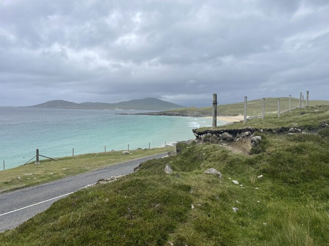
View to Luskentyre From a viewpoint on the A859.
View to Luskentyre Credit: Richard Dorrell

The requested URL returned error: 429 Too Many Requests

If you have any feedback on the listing, please let us know in the comments section below.

Beinn Sheileboist Images

Images are sourced within 2km of 57.858158/-6.9623148 or Grid Reference NG0596. Thanks to Geograph Open Source API. All images are credited.
View to Luskentyre From a viewpoint on the A859.
View to Luskentyre
From a viewpoint on the A859.
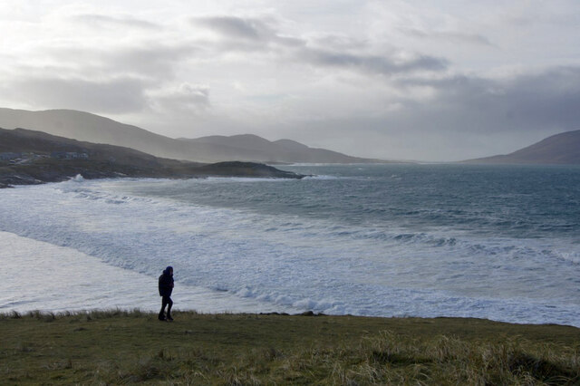
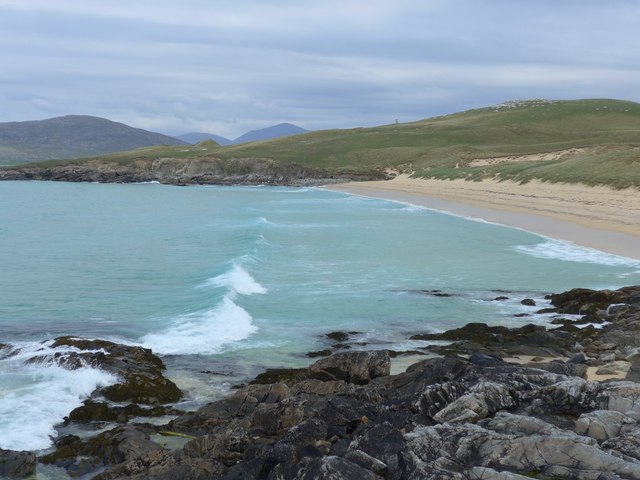
Above Tràigh Iar Looking towards Rubha Romagraich and beyond.
Above Tràigh Iar
Looking towards Rubha Romagraich and beyond.
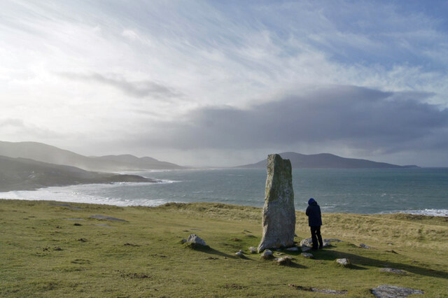
Clach Mhic Leòid Looking south west past the MacLeod standing stone, with Rubha Romagraich to the left, and Ceapabhal behind the stone.
Clach Mhic Leòid
Looking south west past the MacLeod standing stone, with Rubha Romagraich to the left, and Ceapabhal behind the stone.
Toward North Harris Looking north from close to the standing stone, Clach Mhic Leòid.
Toward North Harris
Looking north from close to the standing stone, Clach Mhic Leòid.
Traigh Sheileboist in 1981
Bungalow and field near Tràigh Nisaboist
Spring on the beach at Tràigh Nisaboist A micro-sized hydrological model.
Spring on the beach at Tràigh Nisaboist
A micro-sized hydrological model.
Double Rainbow at Seilebost
Scenic parking spot
Scenic parking spot
Refusing to get out of shot River the Beagle.
Refusing to get out of shot
River the Beagle.
Roadside views of Harris
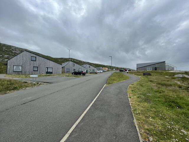
Holiday homes and a cafe Geocaching is a type of global treasure hunt of people looking for caches, or hidden stashes of objects. Geocaching may also be described as a series of hide-and-seek games, where hiders provide online clues for seekers. Seekers use global positioning system (GPS) devices to find hidden caches
Holiday homes and a cafe
Geocaching is a type of global treasure hunt of people looking for caches, or hidden stashes of objects. Geocaching may also be described as a series of hide-and-seek games, where hiders provide online clues for seekers. Seekers use global positioning system (GPS) devices to find hidden caches
Abhainn Sheileaboist
Upper Gleann Sheileaboist
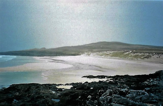
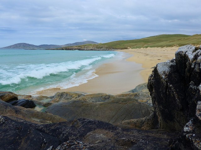
Traigh Iar
Traigh Iar
Traigh Iar Translates as west beach/shore.  In the distance, on the hilltop, stands the massive prehistoric standing stone - Clach Mhic Leoid or Macleod's stone.
Traigh Iar
Translates as west beach/shore. In the distance, on the hilltop, stands the massive prehistoric standing stone - Clach Mhic Leoid or Macleod's stone.
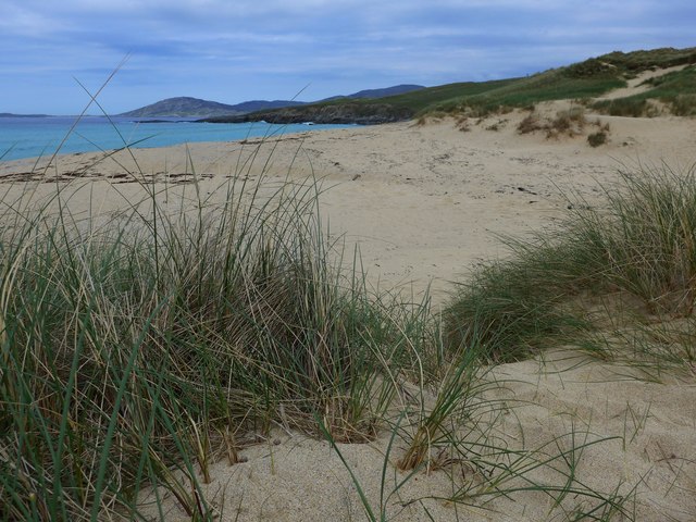
The back of Traigh Iar Traigh Iar - West Shore/Beach.
The back of Traigh Iar
Traigh Iar - West Shore/Beach.
Rocks and sand at Traigh Iar
Show me another place!

Beinn Sheileboist is located at Grid Ref: NG0596 (Lat: 57.858158, Lng: -6.9623148)

Unitary Authority: Na h-Eileanan an Iar

Police Authority: Highlands and Islands

What 3 Words

///wheat.punks.flanked. Near Tarbert, Na h-Eileanan Siar

Nearby Locations

Beinn Sheileboist

Related Wikis

Borve, Harris

Borve (Scottish Gaelic: Na Buirgh) is a village in Harris in the Outer Hebrides, Scotland. Borve is also within the parish of Harris, and is on the A859...

Luskentyre

Luskentyre (Scottish Gaelic: Losgaintir) is a sparse settlement on the west coast of Harris, in the Outer Hebrides, Scotland. Luskentyre is situated within...

Taransay

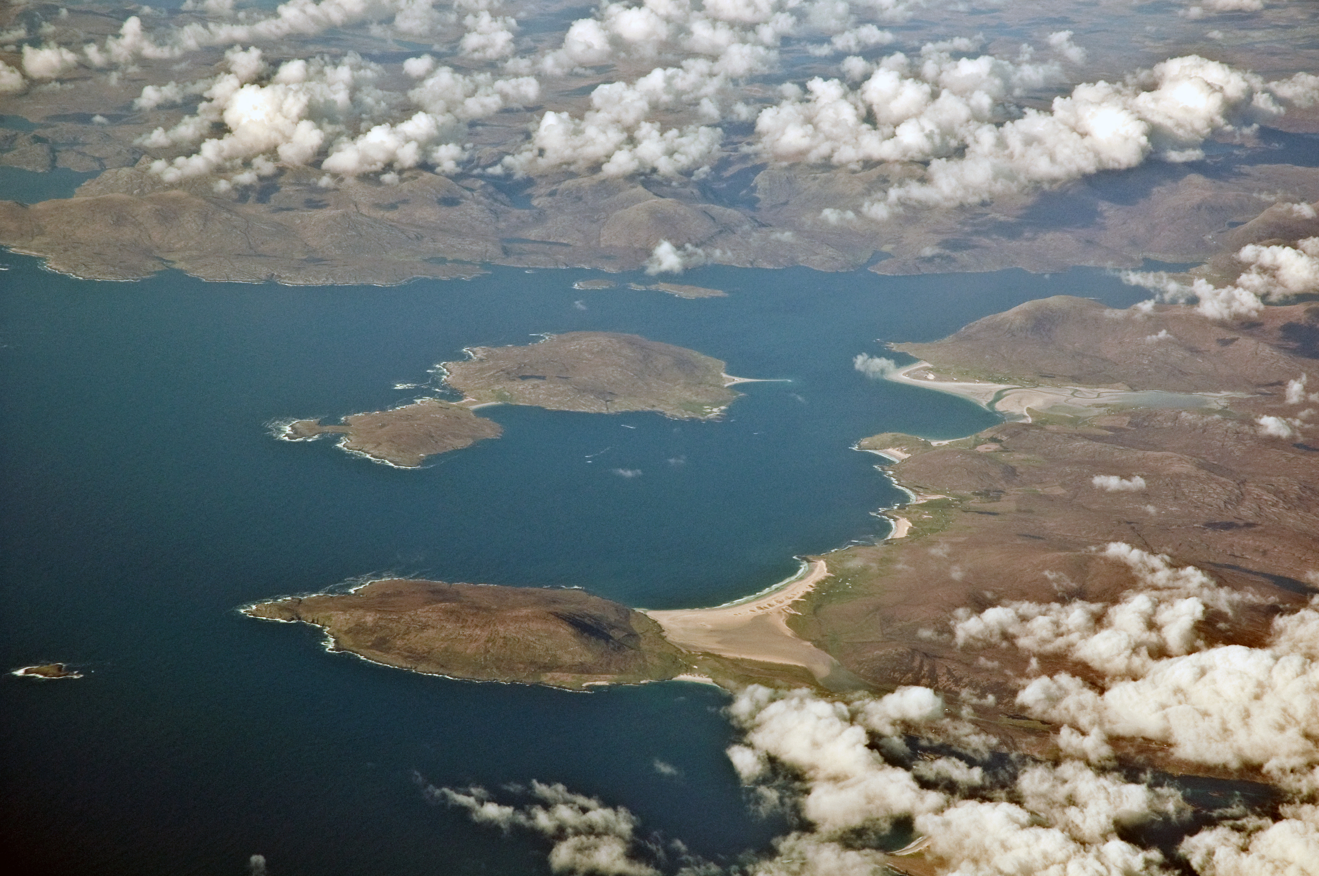
Taransay (Scottish Gaelic: Tarasaigh, pronounced [ˈt̪ʰaɾas̪aj]) is an island in the Outer Hebrides of Scotland. It was the host of the British television...

West Loch Tarbert

West Loch Tarbert (Scottish Gaelic: Loch A Siar) is a sea loch that separates the northern and southern parts of Harris in the Outer Hebrides of Scotland...

Have you been to Beinn Sheileboist?

Leave your review of Beinn Sheileboist below (or comments, questions and feedback).