Cnoc Beag an t-Sagairt

Hill, Mountain in Inverness-shire

Scotland

Cnoc Beag an t-Sagairt

Loch an t-Sagairt at Sunset in February
Loch an t-Sagairt at Sunset in February Credit: glamgirl

Cnoc Beag an t-Sagairt, also known as the Little Priest's Hill, is a prominent hill located in Inverness-shire, Scotland. Situated in the beautiful Scottish Highlands, this hill offers breathtaking views of the surrounding countryside.

Standing at an elevation of approximately 550 meters (1,800 feet), Cnoc Beag an t-Sagairt boasts a distinctive conical shape that is a result of its volcanic origins. The hill is covered in lush green vegetation, including heather, grasses, and scattered trees, creating a picturesque landscape.

Cnoc Beag an t-Sagairt is a popular destination for hikers and nature enthusiasts due to its accessibility and stunning vistas. There are several well-marked trails that lead to the summit, offering visitors the opportunity to experience the beauty of the Scottish Highlands up close. Along the way, hikers may encounter various wildlife species such as red deer, ptarmigan, and mountain hares.

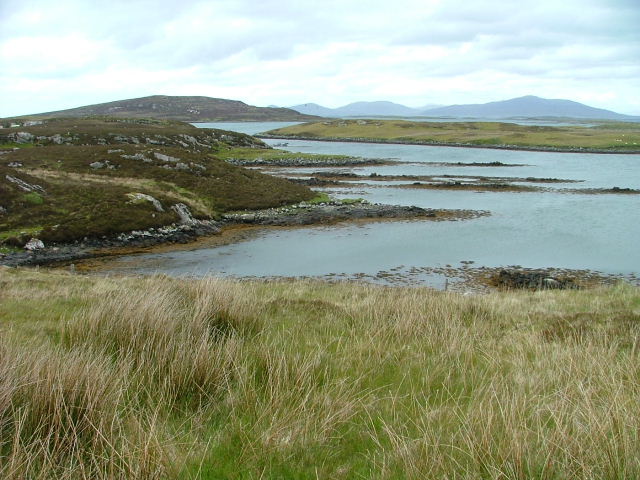
At the top of Cnoc Beag an t-Sagairt, visitors are rewarded with panoramic views of the surrounding countryside, including nearby lochs, glens, and mountains. On a clear day, it is even possible to see as far as the Moray Firth and the Cairngorms National Park.

The hill is steeped in history and folklore, with tales of ancient rituals and gatherings that took place on its slopes. It is said to have been a sacred site for the Druids, and traces of their presence can still be found in the form of stone circles and burial cairns.

Overall, Cnoc Beag an t-Sagairt is a must-visit destination for those seeking to immerse themselves in the natural beauty and rich history of the Scottish Highlands.

If you have any feedback on the listing, please let us know in the comments section below.

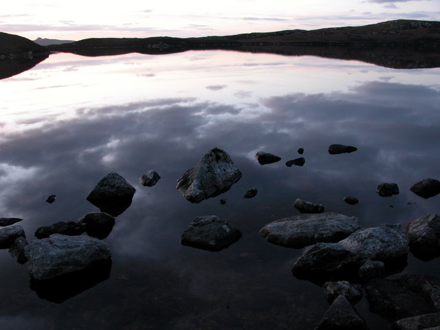
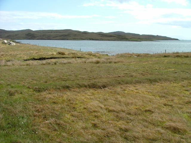
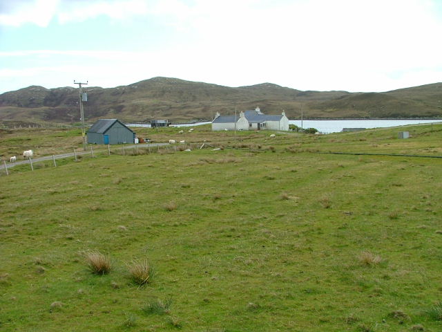
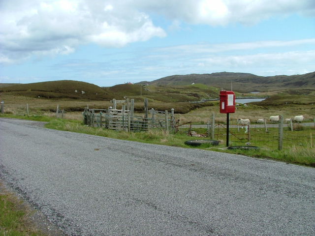
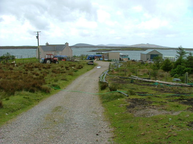
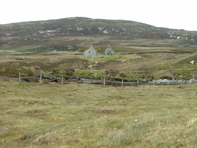
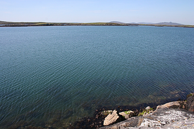
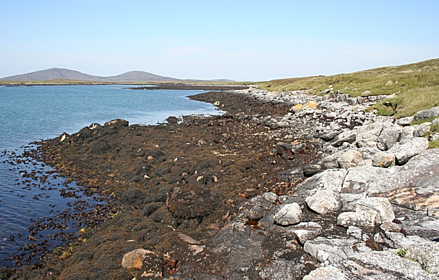
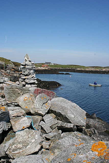
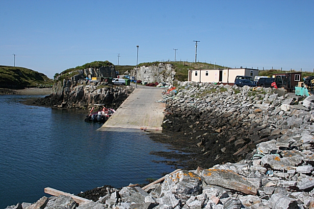
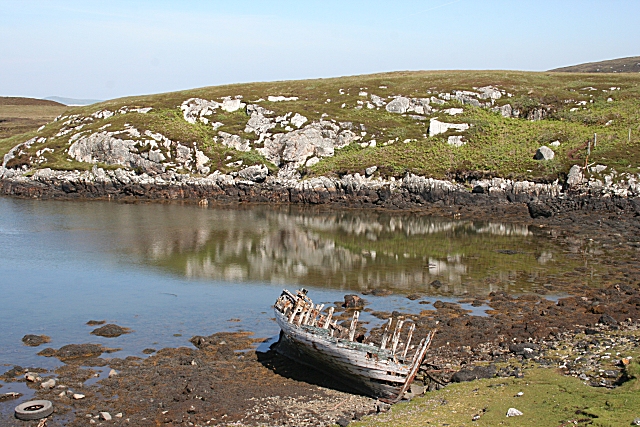
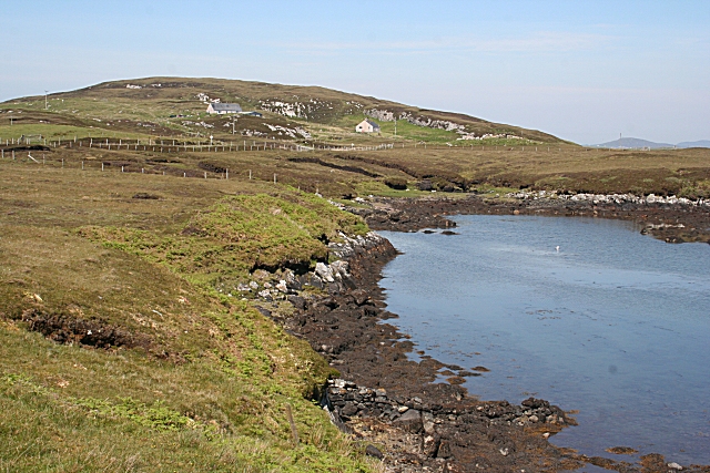
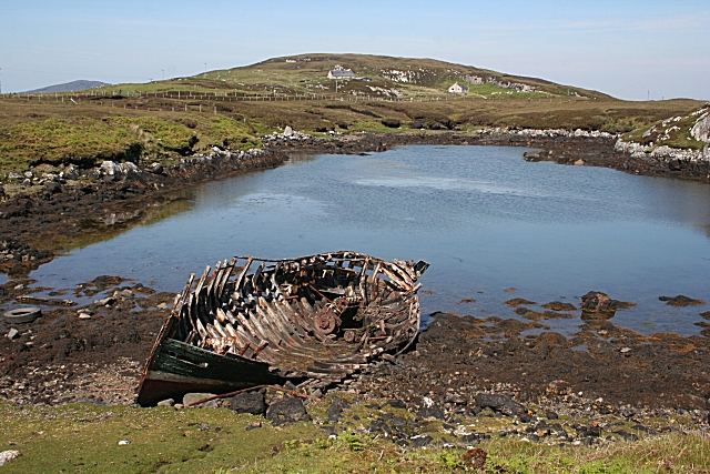
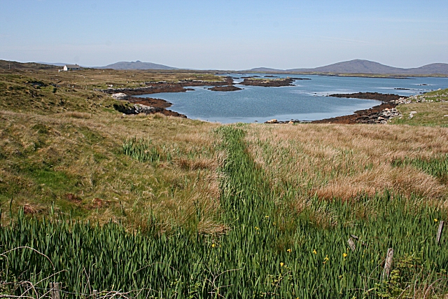
Cnoc Beag an t-Sagairt Images

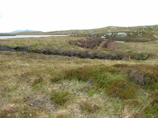
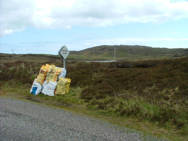
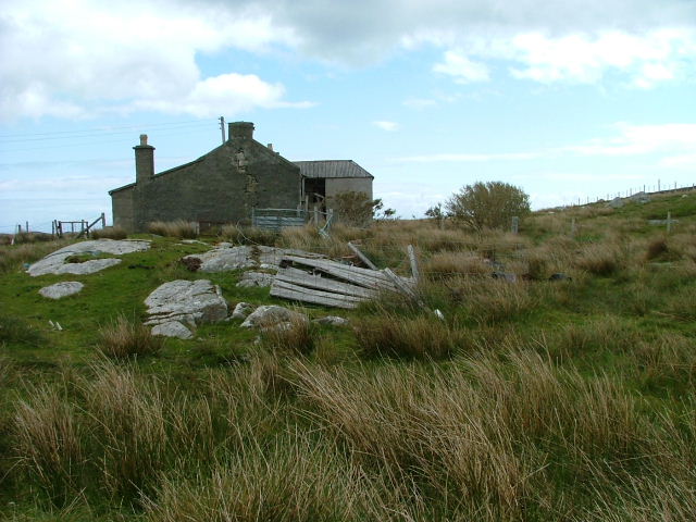
Images are sourced within 2km of 57.641022/-7.1219167 or Grid Reference NF9472. Thanks to Geograph Open Source API. All images are credited.

Loch an t-Sagairt at Sunset in February
Loch Portain Looking towards Rubha nan Gall.
Loch Portain
Looking towards Rubha nan Gall.
Croft in Lochportain Overlooking the loch of the same name.
Croft in Lochportain
Overlooking the loch of the same name.
Postbox and Sheep In Lochportain.
Postbox and Sheep
In Lochportain.
Cut Peat Laid out to dry before bagging.
Cut Peat
Laid out to dry before bagging.
Bagged Peat Awaiting uplift.
Bagged Peat
Awaiting uplift.
Deserted Crofthouse At Bàgh Chàise, a small crofting settlement on North Uist.
Deserted Crofthouse
At Bàgh Chàise, a small crofting settlement on North Uist.
Strom. Looking towards Orasaigh Island.
Strom.
Looking towards Orasaigh Island.
Croft at the Road End Overlooking Loch Amhlasaraigh.
Croft at the Road End
Overlooking Loch Amhlasaraigh.
Ruined Crofthouse At Tobha Beag.
Ruined Crofthouse
At Tobha Beag.
Loch Amhlasaraigh Much of this square is water; the loch is landlocked at low tide but not at high tide. The nearest land is the island of Rusgaigh, with the island of Sròmaigh beyond.
Loch Amhlasaraigh
Much of this square is water; the loch is landlocked at low tide but not at high tide. The nearest land is the island of Rusgaigh, with the island of Sròmaigh beyond.
Rubha an Daimh 'Rubha' means 'headland' and 'damh' is 'deer', so the headland at the far end of this bay is the headland of the deer. The distant hills are Beinn Mhòr and Beinn Bhreac.
Rubha an Daimh
'Rubha' means 'headland' and 'damh' is 'deer', so the headland at the far end of this bay is the headland of the deer. The distant hills are Beinn Mhòr and Beinn Bhreac.
Cheese Bay Looking north from the harbour wall at Cheese Bay. This style of tall cairn seems popular in the Hebrides.
Cheese Bay
Looking north from the harbour wall at Cheese Bay. This style of tall cairn seems popular in the Hebrides.
Cheese Bay Slipway This slipway is used by Marine Harvest for access of the fish farms they operate in Bàgh a'Chàise and further offshore.
Cheese Bay Slipway
This slipway is used by Marine Harvest for access of the fish farms they operate in Bàgh a'Chàise and further offshore.
Going Nowhere The hulk of a boat lies rotting in a tidal inlet near Tigh-na-Hoe.
Going Nowhere
The hulk of a boat lies rotting in a tidal inlet near Tigh-na-Hoe.
Tobha Beag Not to be confused with the similarly named, and much better known, place in South Uist, this is almost the end of the road.
Tobha Beag
Not to be confused with the similarly named, and much better known, place in South Uist, this is almost the end of the road.
Going Nowhere This is the same boat as in <a href="https://www.geograph.org.uk/photo/1343501">NF9574 : Going Nowhere</a>, with the houses at Tobha Beag in the background beyond the tidal inlet.
Going Nowhere
This is the same boat as in NF9574 : Going Nowhere, with the houses at Tobha Beag in the background beyond the tidal inlet.
Loch Amhlasaraigh One of the inlets making up the head of Loch Amhlasaraigh (Aulasary), which is almost completely landlocked, and connected to the open sea only at high tide.
Loch Amhlasaraigh
One of the inlets making up the head of Loch Amhlasaraigh (Aulasary), which is almost completely landlocked, and connected to the open sea only at high tide.
Show me another place!

Cnoc Beag an t-Sagairt is located at Grid Ref: NF9472 (Lat: 57.641022, Lng: -7.1219167)

Unitary Authority: Na h-Eileanan an Iar

Police Authority: Highlands and Islands

What 3 Words

///upstarts.contain.onion. Near Lochmaddy, Na h-Eileanan Siar

Related Wikis

Stromay

Stromay (Scottish Gaelic: Sròmaigh) is a tidal island off North Uist in the Sound of Harris, Scotland. The low island of Stromay lies between two wide...

Loch an Duin

Loch an Duin is a complex system of freshwater, brackish and sea lochs, tidal channels and islands, on and close to North Uist off the west coast of Scotland...

Ceallasaigh Beag

Ceallasaigh Beag (or Keallasay Beg) is a low-lying island in Loch Maddy off North Uist in the Outer Hebrides of Scotland. This an area of shallow lagoons...

Tahay

Tahay (Scottish Gaelic: Taghaigh) is an island in the Outer Hebrides of Scotland. The name originates from the Old Norse tagg-øy meaning island with a...

Nearby Amenities

Located within 500m of 57.641022,-7.1219167
Cnoc Beag an t-Sagairt
Natural: peak
Lat/Long: 57.6410023/-7.1228957
Cnoc Mòr an t-Sagairt
Ele: 58
Natural: peak
Lat/Long: 57.6418292/-7.1143985
Man Made: mast
Lat/Long: 57.6416752/-7.1141718
The data included in this document is from www.openstreetmap.org. The data is made available under ODbL.

Have you been to Cnoc Beag an t-Sagairt?

Leave your review of Cnoc Beag an t-Sagairt below (or comments, questions and feedback).