Loch an t-Sagairt

Lake, Pool, Pond, Freshwater Marsh in Inverness-shire

Scotland

Loch an t-Sagairt

Loch an t-Sagairt at Sunset in February
Loch an t-Sagairt at Sunset in February Credit: glamgirl

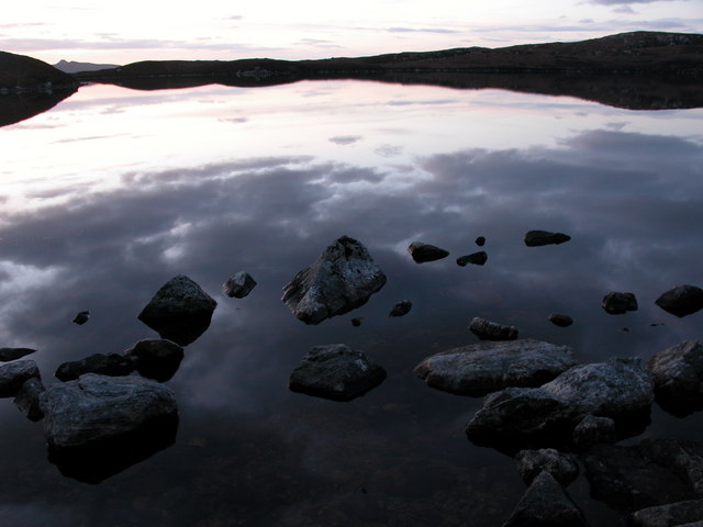
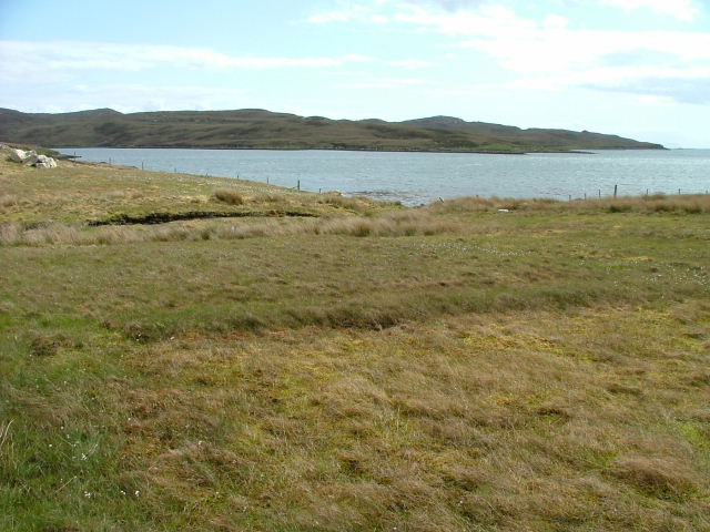
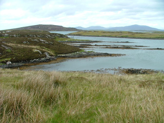
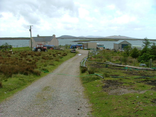
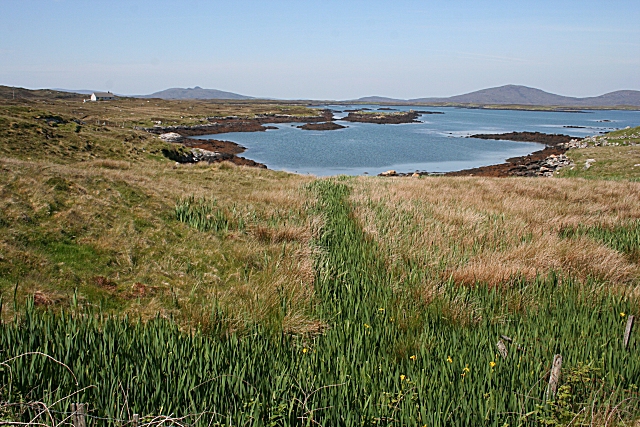
Loch an t-Sagairt is a small freshwater loch located in Inverness-shire, Scotland. Situated near the village of Contin, it covers an area of approximately 10 hectares and is surrounded by lush greenery, making it a picturesque spot for visitors.

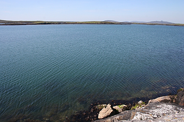
The loch's name translates to "the priest's loch" in English, which is believed to be derived from its historical association with the local clergy. Loch an t-Sagairt is known for its calm and tranquil waters, offering a peaceful environment for fishing enthusiasts and nature lovers alike.

The loch is home to various species of fish, including brown trout, pike, and perch, making it a popular destination for anglers seeking a rewarding catch. Fishing permits can be acquired from the local authorities, ensuring a regulated and sustainable fishing experience.

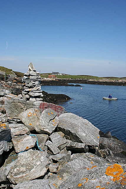
Surrounded by rolling hills and dense forests, Loch an t-Sagairt also provides a habitat for several bird species, such as mallards, coots, and swans. These avian residents contribute to the loch's rich biodiversity, offering visitors the opportunity to observe and appreciate a diverse range of wildlife.

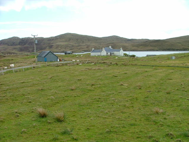
The area surrounding the loch features well-maintained walking trails, allowing visitors to explore the surrounding natural beauty and enjoy panoramic views of the Scottish Highlands. With its serene atmosphere and stunning surroundings, Loch an t-Sagairt is a hidden gem for those seeking a peaceful retreat in the heart of Inverness-shire.

If you have any feedback on the listing, please let us know in the comments section below.

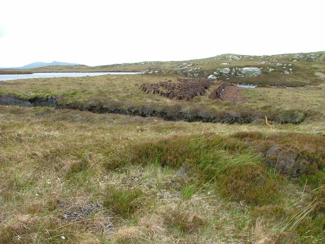
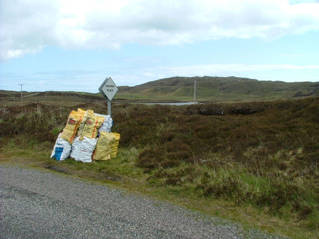
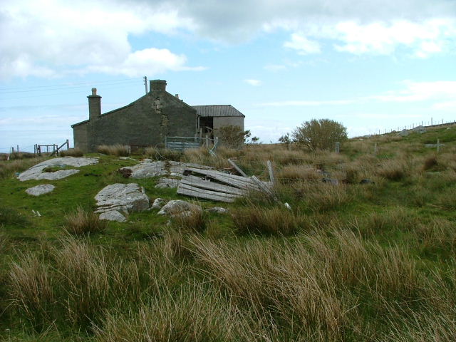
Loch an t-Sagairt Images

Images are sourced within 2km of 57.63825/-7.1166095 or Grid Reference NF9472. Thanks to Geograph Open Source API. All images are credited.

Loch an t-Sagairt at Sunset in February
Loch Portain Looking towards Rubha nan Gall.
Loch Portain
Looking towards Rubha nan Gall.
Croft in Lochportain Overlooking the loch of the same name.
Croft in Lochportain
Overlooking the loch of the same name.
Postbox and Sheep In Lochportain.
Postbox and Sheep
In Lochportain.
Cut Peat Laid out to dry before bagging.
Cut Peat
Laid out to dry before bagging.
Bagged Peat Awaiting uplift.
Bagged Peat
Awaiting uplift.
Deserted Crofthouse At Bàgh Chàise, a small crofting settlement on North Uist.
Deserted Crofthouse
At Bàgh Chàise, a small crofting settlement on North Uist.
Strom. Looking towards Orasaigh Island.
Strom.
Looking towards Orasaigh Island.
Croft at the Road End Overlooking Loch Amhlasaraigh.
Croft at the Road End
Overlooking Loch Amhlasaraigh.
Loch Amhlasaraigh Much of this square is water; the loch is landlocked at low tide but not at high tide. The nearest land is the island of Rusgaigh, with the island of Sròmaigh beyond.
Loch Amhlasaraigh
Much of this square is water; the loch is landlocked at low tide but not at high tide. The nearest land is the island of Rusgaigh, with the island of Sròmaigh beyond.
Cheese Bay Looking north from the harbour wall at Cheese Bay. This style of tall cairn seems popular in the Hebrides.
Cheese Bay
Looking north from the harbour wall at Cheese Bay. This style of tall cairn seems popular in the Hebrides.
Bàgh a'Chàise A fisherman rows ashore from his boat, moored close to the Cheese Bay harbour wall. On the right is the island of Taghaidh, in the next square.
Bàgh a'Chàise
A fisherman rows ashore from his boat, moored close to the Cheese Bay harbour wall. On the right is the island of Taghaidh, in the next square.
Cheese Bay Slipway This slipway is used by Marine Harvest for access of the fish farms they operate in Bàgh a'Chàise and further offshore.
Cheese Bay Slipway
This slipway is used by Marine Harvest for access of the fish farms they operate in Bàgh a'Chàise and further offshore.
Loch Amhlasaraigh One of the inlets making up the head of Loch Amhlasaraigh (Aulasary), which is almost completely landlocked, and connected to the open sea only at high tide.
Loch Amhlasaraigh
One of the inlets making up the head of Loch Amhlasaraigh (Aulasary), which is almost completely landlocked, and connected to the open sea only at high tide.
Strom This inlet off Bàgh a'Chàise is named on the maps as Strom.
Strom
This inlet off Bàgh a'Chàise is named on the maps as Strom.
Peat Cuttings by Loch an t-Sagairt The peats cut from this bank have been neatly stacked to dry in the traditional five-peat pyramids.
Peat Cuttings by Loch an t-Sagairt
The peats cut from this bank have been neatly stacked to dry in the traditional five-peat pyramids.
Illegal House Taken from ferry. The house is one that I think was built without planning permission in this remote spot.
Illegal House
Taken from ferry. The house is one that I think was built without planning permission in this remote spot.
MacQuarrie House A traditional domestic building on the north shore of Loch Portain.
MacQuarrie House
A traditional domestic building on the north shore of Loch Portain.
Show me another place!

Loch an t-Sagairt is located at Grid Ref: NF9472 (Lat: 57.63825, Lng: -7.1166095)

Unitary Authority: Na h-Eileanan an Iar

Police Authority: Highlands and Islands

What 3 Words

///limelight.tooth.muffin. Near Lochmaddy, Na h-Eileanan Siar

Related Wikis

Stromay

Stromay (Scottish Gaelic: Sròmaigh) is a tidal island off North Uist in the Sound of Harris, Scotland. The low island of Stromay lies between two wide...

Loch an Duin

Loch an Duin is a complex system of freshwater, brackish and sea lochs, tidal channels and islands, on and close to North Uist off the west coast of Scotland...

Ceallasaigh Beag

Ceallasaigh Beag (or Keallasay Beg) is a low-lying island in Loch Maddy off North Uist in the Outer Hebrides of Scotland. This an area of shallow lagoons...

Weavers Point

Weavers Point (Scottish Gaelic: Rubha an Fhigheadair) is a headland to the north of the entrance to Loch Maddy, on the north eastern coastline of North...

Nearby Amenities

Located within 500m of 57.63825,-7.1166095
Passing Place
Lat/Long: 57.6376765/-7.1128349
Passing Place
Lat/Long: 57.6383234/-7.1122796
Passing Place
Lat/Long: 57.6364747/-7.1158315
Passing Place
Lat/Long: 57.6355394/-7.1193245
Barrier: cattle_grid
Lat/Long: 57.6365782/-7.114243
Cnoc Beag an t-Sagairt
Natural: peak
Lat/Long: 57.6410023/-7.1228957
Cnoc Mòr an t-Sagairt
Ele: 58
Natural: peak
Lat/Long: 57.6418292/-7.1143985
Power: pole
Lat/Long: 57.6396886/-7.1099914
Power: pole
Lat/Long: 57.6383692/-7.1111555
Power: pole
Lat/Long: 57.6390296/-7.1105842
Power: pole
Lat/Long: 57.6378409/-7.1116329
Power: pole
Lat/Long: 57.6373197/-7.1120969
Power: pole
Lat/Long: 57.6367985/-7.1125986
Power: pole
Lat/Long: 57.6362946/-7.1130491
Power: pole
Lat/Long: 57.6358159/-7.1163643
Power: pole
Lat/Long: 57.635978/-7.1152056
Power: pole
Lat/Long: 57.636098/-7.1143219
Power: pole
Lat/Long: 57.6352307/-7.1204493
Power: pole
Lat/Long: 57.6354353/-7.119009
Power: pole
Lat/Long: 57.6355983/-7.1179723
Power: pole
Lat/Long: 57.6347691/-7.1212768
Passing Place
Lat/Long: 57.636076/-7.1174355
Passing Place
Lat/Long: 57.636813/-7.1139399
Passing Place
Lat/Long: 57.639757/-7.1117284
Passing Place
Lat/Long: 57.6402491/-7.1104651
Man Made: mast
Lat/Long: 57.6410888/-7.1125709
Man Made: mast
Lat/Long: 57.6416752/-7.1141718
The data included in this document is from www.openstreetmap.org. The data is made available under ODbL.

Have you been to Loch an t-Sagairt?

Leave your review of Loch an t-Sagairt below (or comments, questions and feedback).