Loch Charrastaoin
Lake, Pool, Pond, Freshwater Marsh in Argyllshire
Scotland
Loch Charrastaoin
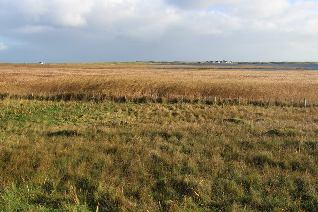
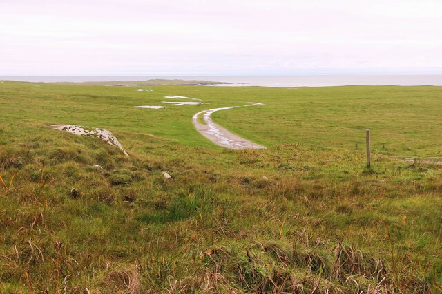
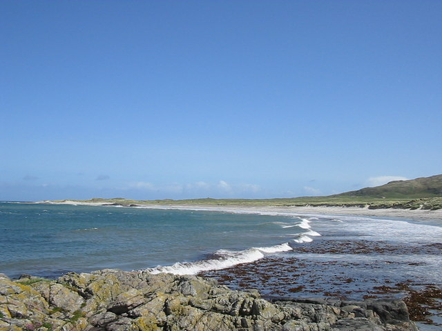
Loch Charrastaoin, located in Argyllshire, Scotland, is a picturesque freshwater loch nestled amidst the stunning natural beauty of the Scottish Highlands. Stretching over an area of approximately 100 acres, this tranquil water body is surrounded by rolling hills covered in heather and scattered with small shrubs and trees.
The loch itself has a relatively irregular shape, with a curving shoreline that creates several secluded bays and inlets. The water is crystal clear, reflecting the surrounding landscape and allowing for a perfect view of the underwater flora and fauna. Loch Charrastaoin is known for its rich biodiversity, housing a variety of freshwater species, including trout, perch, and pike.
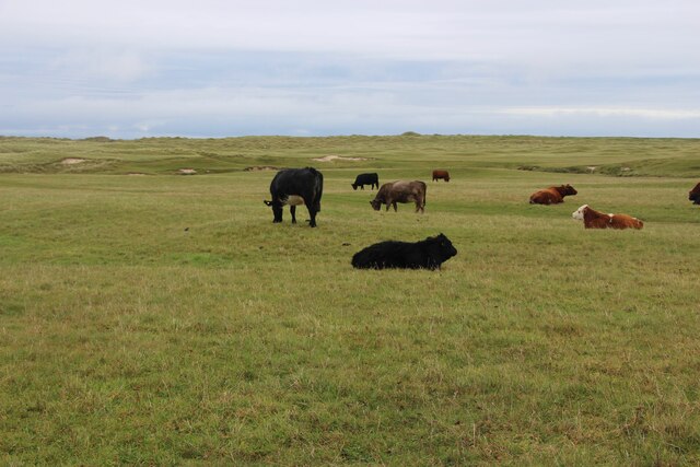
The shores of Loch Charrastaoin are predominantly covered in lush vegetation, with reeds, rushes, and water lilies dominating the landscape. This creates an ideal habitat for a diverse range of bird species, such as ducks, geese, and wading birds, which can often be observed gathering along the water's edge or gliding gracefully across its surface.
The loch is a popular destination for fishing enthusiasts, who visit to try their luck at catching the abundant fish that inhabit its depths. Additionally, Loch Charrastaoin attracts nature lovers and photographers, who come to immerse themselves in the serene ambiance and capture the idyllic scenery.
Overall, Loch Charrastaoin stands as a true gem of Argyllshire, offering visitors a peaceful retreat in the heart of the Scottish Highlands, where they can enjoy the tranquility of the loch, marvel at its vibrant ecosystem, and appreciate the untouched beauty of the surrounding landscape.
If you have any feedback on the listing, please let us know in the comments section below.
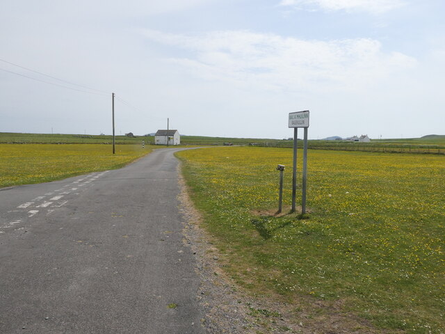
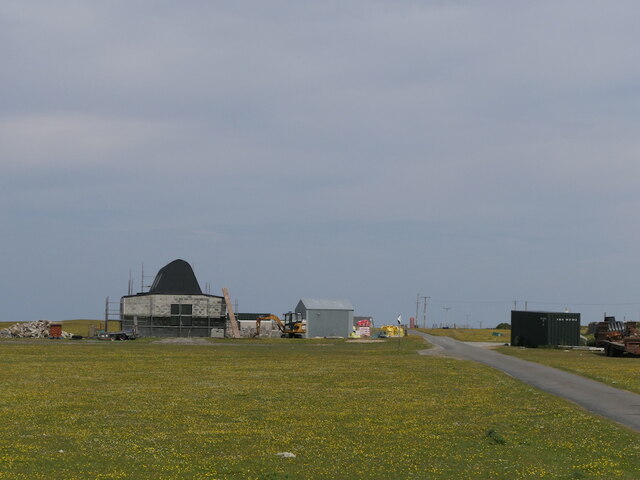
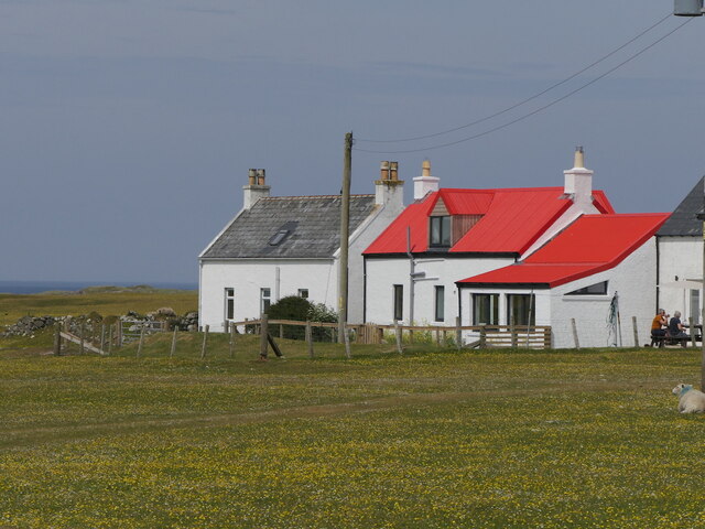
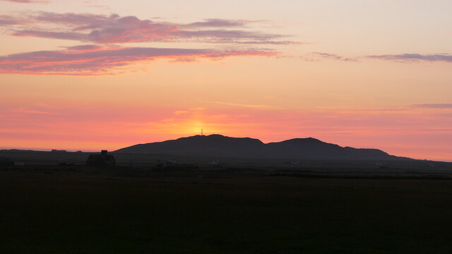
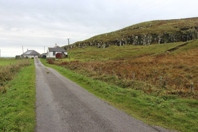
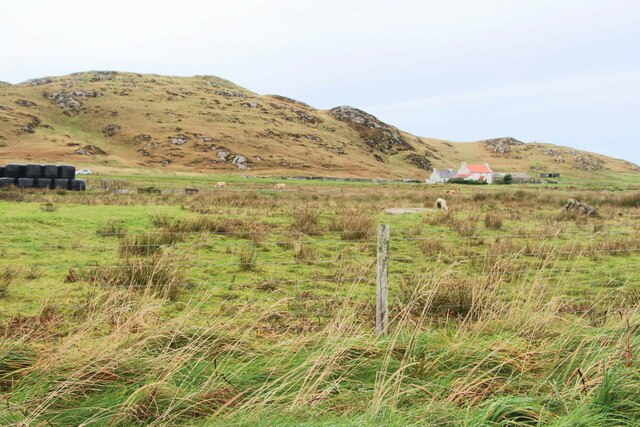
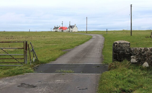
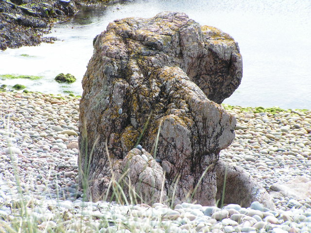
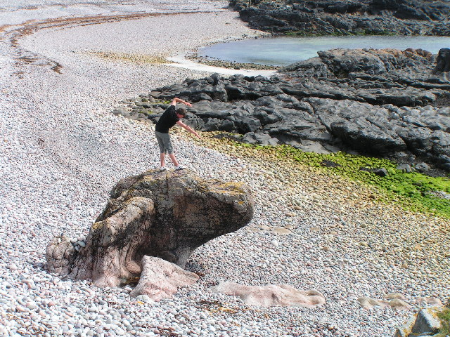
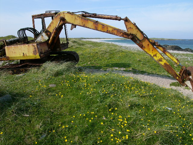
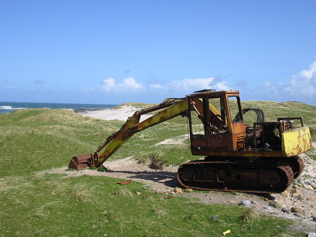
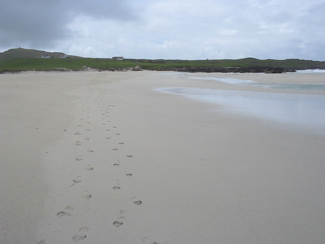
Loch Charrastaoin Images
Images are sourced within 2km of 56.515989/-6.9640973 or Grid Reference NL9447. Thanks to Geograph Open Source API. All images are credited.
Loch Charrastaoin is located at Grid Ref: NL9447 (Lat: 56.515989, Lng: -6.9640973)
Unitary Authority: Argyll and Bute
Police Authority: Argyll and West Dunbartonshire
What 3 Words
///dimension.darling.votes. Near Scarinish, Argyll & Bute
Related Wikis

Tiree Airport
Tiree Airport (Scottish Gaelic: Port-adhair Thiriodh) (IATA: TRE, ICAO: EGPU) is located 2.5 nautical miles (4.6 km; 2.9 mi) north northeast of Balemartine...

Tiree Music Festival
Tiree Music Festival is a Scottish folk music festival held annually on the Island of Tiree in the Inner Hebrides. The festival was founded in 2010 by...

Mannal
Mannal is a coastal hamlet on the west side of Hynish Bay, on the island of Tiree, Scotland. The township of Mannal lies on the southwest corner of Tiree...

Tiree
Tiree (; Scottish Gaelic: Tiriodh, pronounced [ˈtʲʰiɾʲəɣ]) is the most westerly island in the Inner Hebrides of Scotland. The low-lying island, southwest...
Nearby Amenities
Located within 500m of 56.515989,-6.9640973Have you been to Loch Charrastaoin?
Leave your review of Loch Charrastaoin below (or comments, questions and feedback).