Cnoc an Fhithich

Hill, Mountain in Argyllshire

Scotland

Cnoc an Fhithich

Tràigh Thodhrasdail, Tiree Known as The Maze to wind surfers.
Tràigh Thodhrasdail, Tiree Credit: Richard Webb

Cnoc an Fhithich, located in Argyllshire, Scotland, is a prominent hill/mountain that offers breathtaking views and a rich historical significance. Standing at an elevation of 316 meters (1,037 feet), it is a popular destination for hikers, nature enthusiasts, and history buffs alike.

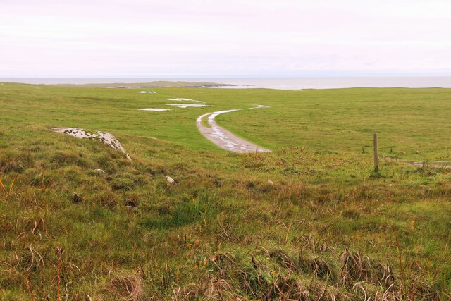
The hill is characterized by its distinctive conical shape, which is believed to have been formed by volcanic activity millions of years ago. It is covered in lush vegetation, including heather, ferns, and various species of wildflowers, creating a picturesque landscape that changes with the seasons.

At the summit of Cnoc an Fhithich, visitors are rewarded with panoramic views of the surrounding countryside, including the nearby Loch Fyne and the Kintyre Peninsula. On clear days, it is even possible to catch a glimpse of the Isle of Arran in the distance.

In addition to its natural beauty, Cnoc an Fhithich holds historical significance. It is said to have been the site of an ancient fort or settlement, as evidenced by the presence of stone structures and archaeological remains. These remnants provide insights into the lives of the inhabitants who once called this hill their home, offering a glimpse into Scotland's past.

Access to Cnoc an Fhithich is relatively easy, with well-maintained trails leading to the summit. The hill attracts visitors of all fitness levels, providing a rewarding experience for both casual walkers and more avid hikers. Its combination of stunning natural beauty and historical intrigue make Cnoc an Fhithich a must-visit destination in Argyllshire.

If you have any feedback on the listing, please let us know in the comments section below.

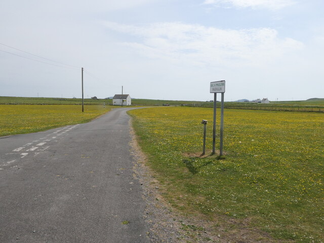
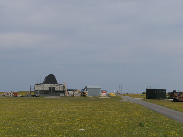
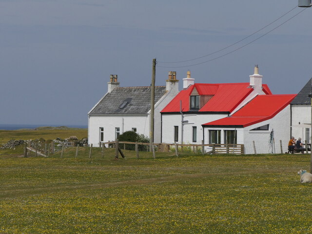
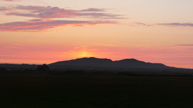
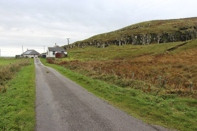
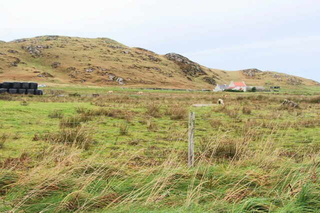
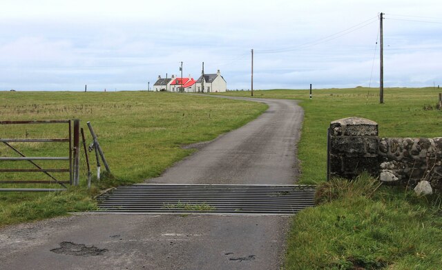
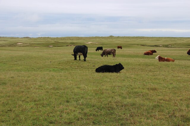
Cnoc an Fhithich Images

Images are sourced within 2km of 56.504148/-6.9636687 or Grid Reference NL9445. Thanks to Geograph Open Source API. All images are credited.

Tràigh Thodhrasdail, Tiree Known as The Maze to wind surfers.
Tràigh Thodhrasdail, Tiree
Known as The Maze to wind surfers.
Road junction, Balevullin
Construction, Balevulin Renovation and extension of a cottage with a traditional Tiree roof.
Construction, Balevulin
Renovation and extension of a cottage with a traditional Tiree roof.
Balevullin
Balevullin
Track from Tràigh  Ghrianal
Track from Tràigh Ghrianal
Tràigh Ghrianal The track is often used by quadbikes carrying surfboards.
Tràigh Ghrianal
The track is often used by quadbikes carrying surfboards.
Tràigh Thodhrasdail, Tiree
Track on the machair, Kilkenneth
Surfboard transport Quadbike and trailer carrying boards to Tràigh Thodhrasdail.
Surfboard transport
Quadbike and trailer carrying boards to Tràigh Thodhrasdail.
Sun pillar, Beinn Hough Taken after 11pm looking not far off north.
Sun pillar, Beinn Hough
Taken after 11pm looking not far off north.
Tur MhicChaluim Memorial cairn to the Reverend Donald MacCallum.
A stone embedded in the cairn (not visible in this photograph) reads

TUR MHICCHALUIM
1 JULY 1889

Beneath that stone, a brass plaque reads

IN MEMORY OF
REV. DONALD MACCALLUM
BORN CRAIGNISH ARGYLL 9TH OCTOBER 1849
MINISTER OF HYLIPOL TYREE
DEC 1887 – AUG 1889
DIED 23RD APRIL 1929 AT GLENDALE SKYE
INTERRED IN GLENDALE CEMETERY
LIKE THE BIBLICAL PROPHETS
HE TOOK UP THE CAUSE OF THE OPPRESSED
AND WAS CHIEF LEADER OF THE
LAND LEAGUE MOVEMENT OF THE TIME

In the distance beyond the cairn can be seen, left to right, Ben Hynish, Loch a' Phuill, and Beinn Ceann a' Mhara.
Tur MhicChaluim
Memorial cairn to the Reverend Donald MacCallum. A stone embedded in the cairn (not visible in this photograph) reads TUR MHICCHALUIM 1 JULY 1889 Beneath that stone, a brass plaque reads IN MEMORY OF REV. DONALD MACCALLUM BORN CRAIGNISH ARGYLL 9TH OCTOBER 1849 MINISTER OF HYLIPOL TYREE DEC 1887 – AUG 1889 DIED 23RD APRIL 1929 AT GLENDALE SKYE INTERRED IN GLENDALE CEMETERY LIKE THE BIBLICAL PROPHETS HE TOOK UP THE CAUSE OF THE OPPRESSED AND WAS CHIEF LEADER OF THE LAND LEAGUE MOVEMENT OF THE TIME In the distance beyond the cairn can be seen, left to right, Ben Hynish, Loch a' Phuill, and Beinn Ceann a' Mhara.
Minor road across Moss
Abhainn na Cille
Abhainn na Cille
Two houses below Cnoc an Fhithich
Hough, a farm below Beinn Hough
Cattle grid at Sràid Ruadh
Cattle grazing at Sràid Ruadh
Track across the machair to Traigh Hough
Show me another place!

Cnoc an Fhithich is located at Grid Ref: NL9445 (Lat: 56.504148, Lng: -6.9636687)

Unitary Authority: Argyll and Bute

Police Authority: Argyll and West Dunbartonshire

What 3 Words

///richest.engraving.irritate. Near Scarinish, Argyll & Bute

Related Wikis

Tiree Music Festival

Tiree Music Festival is a Scottish folk music festival held annually on the Island of Tiree in the Inner Hebrides. The festival was founded in 2010 by...

Tiree Airport

Tiree Airport (Scottish Gaelic: Port-adhair Thiriodh) (IATA: TRE, ICAO: EGPU) is located 2.5 nautical miles (4.6 km; 2.9 mi) north northeast of Balemartine...

Mannal

Mannal is a coastal hamlet on the west side of Hynish Bay, on the island of Tiree, Scotland. The township of Mannal lies on the southwest corner of Tiree...

Tiree

Tiree (; Scottish Gaelic: Tiriodh, pronounced [ˈtʲʰiɾʲəɣ]) is the most westerly island in the Inner Hebrides of Scotland. The low-lying island, southwest...

Nearby Amenities

Located within 500m of 56.504148,-6.9636687
Hough
Is In: Tiree, Inner Hebrides, Scotland, UK
Name Gd: Hògh
Name Non: Haugr
Place: hamlet
Source: npe
Lat/Long: 56.5038932/-6.9557356
Barrier: cattle_grid
Bicycle: yes
Foot: yes
Lat/Long: 56.5005228/-6.9661521
Cnoc an Fhithich
Ele: 113
Natural: peak
Lat/Long: 56.504129/-6.9637297
Man Made: tower
Tower Construction: lattice
Tower Type: communication
Lat/Long: 56.5038746/-6.9642553
Passing Place
Lat/Long: 56.5025142/-6.9581729
Power: pole
Lat/Long: 56.4998981/-6.9627664
Power: pole
Lat/Long: 56.5002699/-6.9624539
Power: pole
Lat/Long: 56.500841/-6.9612734
Power: pole
Lat/Long: 56.5013689/-6.9601817
Power: pole
Lat/Long: 56.5019726/-6.9593159
Power: pole
Lat/Long: 56.5027127/-6.9582411
Power: pole
Lat/Long: 56.5033548/-6.9573204
Power: pole
Lat/Long: 56.5038268/-6.9566405
Power: pole
Lat/Long: 56.5043337/-6.9559014
Power: pole
Lat/Long: 56.4999785/-6.9629184
Power: pole
Lat/Long: 56.5027581/-6.959715
Power: pole
Lat/Long: 56.5031299/-6.9610158
Power: pole
Lat/Long: 56.5034748/-6.9622511
Beinn Mhurstat
Ele: 106
Natural: peak
Lat/Long: 56.5067974/-6.9643204
Bealach na Beinne
Natural: saddle
Lat/Long: 56.5077328/-6.9639342
The data included in this document is from www.openstreetmap.org. The data is made available under ODbL.

Have you been to Cnoc an Fhithich?

Leave your review of Cnoc an Fhithich below (or comments, questions and feedback).