Top Rock Hill

Hill, Mountain in Cornwall

England

Top Rock Hill

Lower Town Quay The smaller of the two quays on St Martin’s. The larger quay at Higher Town is the one used for freight deliveries, but is inaccessible at a low tide.

The island behind is the uninhabited Tean (pronounced tea-an).
Lower Town Quay Credit: David Lally

Top Rock Hill is a prominent hill located in the southwestern region of Cornwall, England. Rising to an elevation of approximately 178 meters (584 feet), it stands as one of the highest points in the area, offering breathtaking panoramic views of the surrounding landscape.

Situated near the village of Rock, this hill is a popular destination for outdoor enthusiasts and nature lovers alike. Its unique geological formations, characterized by granite outcrops and rocky cliffs, make it an ideal spot for rock climbing and bouldering activities. The hill is also home to a diverse range of flora and fauna, including heather, gorse, and various species of birds.

Top Rock Hill is easily accessible by foot, with well-marked trails leading to its summit. These trails traverse through lush green meadows and wooded areas, providing visitors with an opportunity to immerse themselves in the natural beauty of the region. At the top of the hill, a viewing platform allows visitors to admire the stunning vistas of the surrounding countryside, including the nearby Camel Estuary and the Atlantic Ocean.

The hill is steeped in history, with evidence of ancient settlements and burial mounds found in the vicinity. It is believed that these sites date back to the Neolithic and Bronze Age periods, adding an air of mystery and intrigue to the area.

Overall, Top Rock Hill in Cornwall offers a captivating blend of natural beauty, recreational opportunities, and historical significance, making it a must-visit destination for tourists and locals alike.

If you have any feedback on the listing, please let us know in the comments section below.

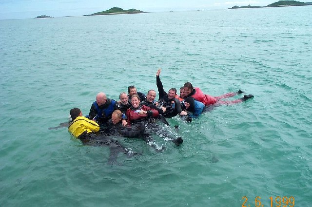
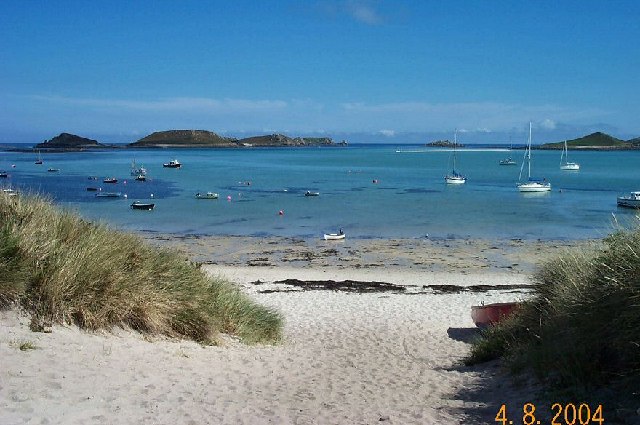
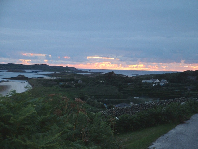
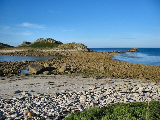
Top Rock Hill Images

Images are sourced within 2km of 49.971596/-6.2945033 or Grid Reference SV9216. Thanks to Geograph Open Source API. All images are credited.

Lower Town Quay The smaller of the two quays on St Martin’s. The larger quay at Higher Town is the one used for freight deliveries, but is inaccessible at a low tide.

The island behind is the uninhabited Tean (pronounced tea-an).
Lower Town Quay
The smaller of the two quays on St Martin’s. The larger quay at Higher Town is the one used for freight deliveries, but is inaccessible at a low tide. The island behind is the uninhabited Tean (pronounced tea-an).
Great Bay panorama On of the most beautiful spots on the islands.
Great Bay panorama
On of the most beautiful spots on the islands.
Higher Town Bay
Higher Town Bay
St Martins The beautiful St Martin's Bay
St Martins
The beautiful St Martin's Bay
St Martin's Divers at Higher Town bay
St Martin's
Divers at Higher Town bay
St Martin's Higher Town Bay
St Martin's
Higher Town Bay
Lower Town, St. Martin's Looking SW, Tresco in distance
Lower Town, St. Martin's
Looking SW, Tresco in distance
Middle Town - St Martin's, Scilly The westerly view from Middle Town. Tresco on the horizon.
Middle Town - St Martin's, Scilly
The westerly view from Middle Town. Tresco on the horizon.
St Martin's - Scillies The high street of Middle Town, St Martin's.
St Martin's - Scillies
The high street of Middle Town, St Martin's.
Sunset on St Martins looking westward
Looking out from gardens of Seven Stones pub View looking south from the pub
Looking out from gardens of Seven Stones pub
View looking south from the pub
St Martin's coastal path, looking towards Great Bay
St Martin's bay from Scilly point This is a beautiful beach of white sand.
St Martin's bay from Scilly point
This is a beautiful beach of white sand.
The tidal causeway to White Island, Scilly White Island is a part of St Martin's. This is the only land based way onto the island.
The tidal causeway to White Island, Scilly
White Island is a part of St Martin's. This is the only land based way onto the island.
Lower Town quay, St Martin's - Scilly A small quay - but very well used for loading and unloading all the things that are essential for island life.
Lower Town quay, St Martin's - Scilly
A small quay - but very well used for loading and unloading all the things that are essential for island life.
Higher Town quay, St Martin's - Scilly This is the main quay for St Martin's. The photo shows day tourists being picked up and taken to another island.
Higher Town quay, St Martin's - Scilly
This is the main quay for St Martin's. The photo shows day tourists being picked up and taken to another island.
Higher Town, St Martin's - Scilly In the mid distance are the popular playing fields, on the left are the slopes leading up to Higher Town and on the right is the Higher Town beach. The hedged in fields are typical of Scilly and protect crops from storms and wind.
Higher Town, St Martin's - Scilly
In the mid distance are the popular playing fields, on the left are the slopes leading up to Higher Town and on the right is the Higher Town beach. The hedged in fields are typical of Scilly and protect crops from storms and wind.
Scilly flower fields An example of the hedged in small fields that Scilly uses to grow its well known fragrant flowers. Photo taken near the church of Higher Town.
Scilly flower fields
An example of the hedged in small fields that Scilly uses to grow its well known fragrant flowers. Photo taken near the church of Higher Town.
Show me another place!

Top Rock Hill is located at Grid Ref: SV9216 (Lat: 49.971596, Lng: -6.2945033)

Division: Isles of Scilly

Unitary Authority: Isles of Scilly

Police Authority: Devon and Cornwall

What 3 Words

///rifled.states.treaty. Near St Martin's, Isles of Scilly

Related Wikis

Middle Town, St Martin's

Middle Town (Cornish: Tregres) is a small settlement on the island of St Martin's in the Isles of Scilly, England. It is situated slightly inland, approximately...

White Island, Isles of Scilly

White Island (Cornish: Ar Nor, "facing the mainland" or Enys Wynn "white island" ) is one of the larger unpopulated islands of the Isles of Scilly, part...

Lower Town, Isles of Scilly

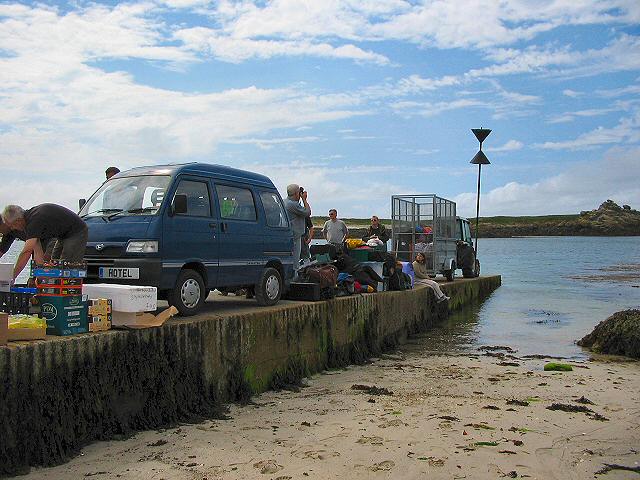
Lower Town (Cornish: Trewoles) is the westernmost settlement on the island of St Martin's in the Isles of Scilly, England. One of the island's two quays...

St Martin's, Isles of Scilly

St Martin's (Cornish: Brechiek, lit. 'dappled island') is the northernmost populated island of the Isles of Scilly, England, United Kingdom. It has an...

Teän

Teän ( TEE-ən, sometimes written Tean without the diaeresis; Cornish: Enys Tian) is an uninhabited island to the north of the Isles of Scilly archipelago...

St Martin's Church, St Martin's

St Martin's Church, St Martin's is a Grade II listed parish church in the Church of England located in St Martin's, Isles of Scilly, UK. == History... ==

St Martin's Methodist Church, Isles of Scilly

The Methodist Church, St Martin's, Isles of Scilly is a Grade II listed chapel in St Martin's, Isles of Scilly. == History == Bible Christians arrived...

Higher Town, Isles of Scilly

Higher Town (Cornish: Trewartha) is the easternmost and largest settlement on the island of St Martin's in the Isles of Scilly, England. It is situated...

Nearby Amenities

Located within 500m of 49.971596,-6.2945033
Source: PGS
Lat/Long: 49.9743195/-6.292359
Source: PGS
Lat/Long: 49.9713339/-6.2920597
Source: PGS
Lat/Long: 49.9716753/-6.2918261
Source: PGS
Lat/Long: 49.971808/-6.2914795
Source: PGS
Lat/Long: 49.9689795/-6.2911254
Source: PGS
Lat/Long: 49.9682881/-6.2907659
Source: PGS
Lat/Long: 49.9679931/-6.290601
Source: PGS
Lat/Long: 49.9697633/-6.2918093
Source: PGS
Lat/Long: 49.9692887/-6.2913509
Source: PGS
Lat/Long: 49.9709854/-6.2925103
Source: PGS
Lat/Long: 49.9703985/-6.2923327
Source: PGS
Lat/Long: 49.9716599/-6.2909607
Source: PGS
Lat/Long: 49.9693281/-6.2908647
Source: PGS
Lat/Long: 49.9698033/-6.2906827
Source: PGS
Lat/Long: 49.9691907/-6.2904993
Little Bay
Natural: bay
Lat/Long: 49.9705862/-6.2907458
Source: PGS
Lat/Long: 49.973574/-6.292948
Source: PGS
Lat/Long: 49.9734284/-6.2920744
Top Rock Hill
Natural: peak
Lat/Long: 49.9721537/-6.2949656
The data included in this document is from www.openstreetmap.org. The data is made available under ODbL.

Have you been to Top Rock Hill?

Leave your review of Top Rock Hill below (or comments, questions and feedback).