St Martin's Bay

Bay in Cornwall

England

St Martin's Bay

Trig pillar
Trig pillar Credit: Alex McGregor

The requested URL returned error: 429 Too Many Requests

If you have any feedback on the listing, please let us know in the comments section below.

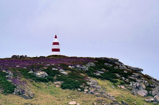
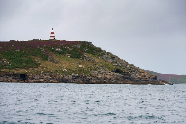
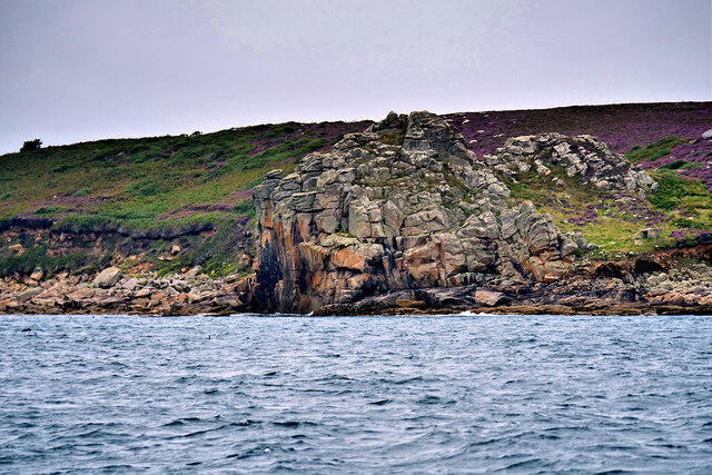
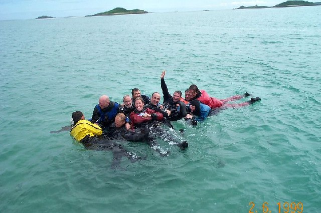
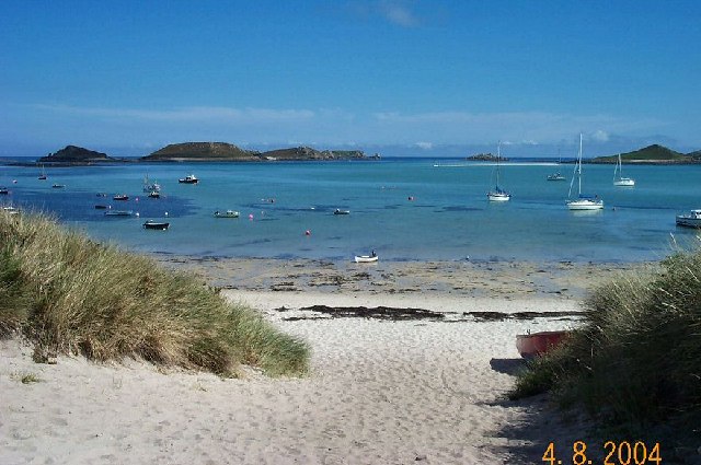
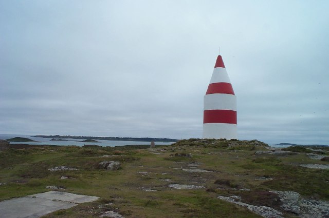
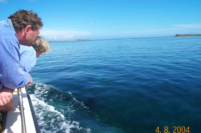
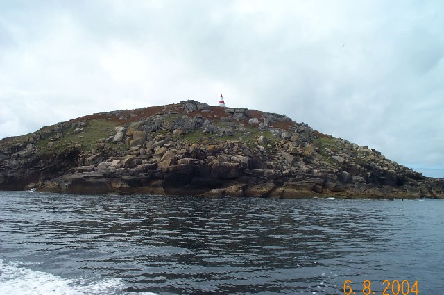
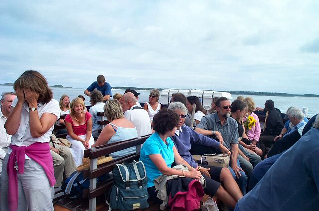
St Martin's Bay Images

Images are sourced within 2km of 49.967848/-6.2844317 or Grid Reference SV9216. Thanks to Geograph Open Source API. All images are credited.

Trig pillar
Trig pillar
A track on eastern St Martin’s The track runs uphill from the eastern end of Higher Town Bay to the Chapel Down and the Daymark.
A track on eastern St Martin’s
The track runs uphill from the eastern end of Higher Town Bay to the Chapel Down and the Daymark.
Lower Town Quay The smaller of the two quays on St Martin’s. The larger quay at Higher Town is the one used for freight deliveries, but is inaccessible at a low tide.

The island behind is the uninhabited Tean (pronounced tea-an).
Lower Town Quay
The smaller of the two quays on St Martin’s. The larger quay at Higher Town is the one used for freight deliveries, but is inaccessible at a low tide. The island behind is the uninhabited Tean (pronounced tea-an).
The Daymark From within the ruins of the Admiralty signal station of  1805.

The signal station is included in the Scheduled Monument comprising the whole of Chapel down and is described thus:

In 1804, an Admiralty signal station was built on northern Chapel Down to communicate with naval vessels by signal mast and to report on enemy shipping movements. It was decommissioned in 1815, superseded by semaphore operated from St Mary's. Its main building stands to 2.3m high in the north of a subrectangular enclosure 38m long, NNW-SSE, by up to 21m wide.

List Entry Number:1016508  <span class="nowrap"><a title="https://historicengland.org.uk/listing/the-list/list-entry/1016508?section=official-list-entry" rel="nofollow ugc noopener" href="https://historicengland.org.uk/listing/the-list/list-entry/1016508?section=official-list-entry">Link</a><img style="margin-left:2px;" alt="External link" title="External link - shift click to open in new window" src="https://s1.geograph.org.uk/img/external.png" width="10" height="10"/></span>

The Daymark is separately listed Grade II*

List Entry Number:1141204 <span class="nowrap"><a title="https://historicengland.org.uk/listing/the-list/list-entry/1141204?section=official-list-entry" rel="nofollow ugc noopener" href="https://historicengland.org.uk/listing/the-list/list-entry/1141204?section=official-list-entry">Link</a><img style="margin-left:2px;" alt="External link" title="External link - shift click to open in new window" src="https://s1.geograph.org.uk/img/external.png" width="10" height="10"/></span>
The Daymark
From within the ruins of the Admiralty signal station of 1805. The signal station is included in the Scheduled Monument comprising the whole of Chapel down and is described thus: In 1804, an Admiralty signal station was built on northern Chapel Down to communicate with naval vessels by signal mast and to report on enemy shipping movements. It was decommissioned in 1815, superseded by semaphore operated from St Mary's. Its main building stands to 2.3m high in the north of a subrectangular enclosure 38m long, NNW-SSE, by up to 21m wide. List Entry Number:1016508 LinkExternal link The Daymark is separately listed Grade II* List Entry Number:1141204 LinkExternal link
Great Bay panorama On of the most beautiful spots on the islands.
Great Bay panorama
On of the most beautiful spots on the islands.
St Martin's Daymark Erected in 1683, St Martin’s Daymark is the earliest surviving beacon in the British Isles. The 40 feet high stone beacon was built by Thomas Ekins, near the northeast corner of the island island of St Martin’s.

Originally white, the beacon was later painted red and now boasts red and white bands. Its daymark is visible from miles away, situated as it is on one of the Isles of Scilly's highest points.
It is a Grade II* listed building (List Entry Number:1141204 <span class="nowrap"><a title="https://historicengland.org.uk/listing/the-list/list-entry/1141204" rel="nofollow ugc noopener" href="https://historicengland.org.uk/listing/the-list/list-entry/1141204">Link</a><img style="margin-left:2px;" alt="External link" title="External link - shift click to open in new window" src="https://s1.geograph.org.uk/img/external.png" width="10" height="10"/></span> Historic England).
St Martin's Daymark
Erected in 1683, St Martin’s Daymark is the earliest surviving beacon in the British Isles. The 40 feet high stone beacon was built by Thomas Ekins, near the northeast corner of the island island of St Martin’s. Originally white, the beacon was later painted red and now boasts red and white bands. Its daymark is visible from miles away, situated as it is on one of the Isles of Scilly's highest points. It is a Grade II* listed building (List Entry Number:1141204 LinkExternal link Historic England).
St Martin's Head The large red-and-white Daymark stands on St Martin’s Head, at the northeast corner of the island of St Martin. It was erected in 1683 by Thomas Ekins, and is a Grade II* listed building (List Entry Number:1141204 <span class="nowrap"><a title="https://historicengland.org.uk/listing/the-list/list-entry/1141204" rel="nofollow ugc noopener" href="https://historicengland.org.uk/listing/the-list/list-entry/1141204">Link</a><img style="margin-left:2px;" alt="External link" title="External link - shift click to open in new window" src="https://s1.geograph.org.uk/img/external.png" width="10" height="10"/></span> Historic England).

The Daymark is a circular tower made of rendered granite, measuring 4.8 metres (16 ft) in diameter and 6.4 metres (21 ft) in height. It has a conical termination, which makes it a total of 11 metres (36 ft) high. Originally, it was painted white until 1822 but by 1833 had been painted red, and is now painted in alternating bands of red and white.

The daymark is built on the highest point of St Martin's (the second-highest point in the Isles of Scilly); the position and relative height mean that the Cornish mainland is visible (when the weather allows) and the daymark is identifiable from the mainland too.
St Martin's Head
The large red-and-white Daymark stands on St Martin’s Head, at the northeast corner of the island of St Martin. It was erected in 1683 by Thomas Ekins, and is a Grade II* listed building (List Entry Number:1141204 LinkExternal link Historic England). The Daymark is a circular tower made of rendered granite, measuring 4.8 metres (16 ft) in diameter and 6.4 metres (21 ft) in height. It has a conical termination, which makes it a total of 11 metres (36 ft) high. Originally, it was painted white until 1822 but by 1833 had been painted red, and is now painted in alternating bands of red and white. The daymark is built on the highest point of St Martin's (the second-highest point in the Isles of Scilly); the position and relative height mean that the Cornish mainland is visible (when the weather allows) and the daymark is identifiable from the mainland too.
St Martin's Coastline, Mullet Pool
Higher Town Bay
Higher Town Bay
St Martins The beautiful St Martin's Bay
St Martins
The beautiful St Martin's Bay
St Martin's Divers at Higher Town bay
St Martin's
Divers at Higher Town bay
St Martin's Higher Town Bay
St Martin's
Higher Town Bay
St Martin's daymarker The red and white conical granite daymark was erected in 1683. There's an internal block of stairs - unfortunately now blocked off.
St Martin's daymarker
The red and white conical granite daymark was erected in 1683. There's an internal block of stairs - unfortunately now blocked off.
Near St Martin's - Scilly Well they're looking for something. Is it a seal, a jellyfish or something that just blew out the boat?
Near St Martin's - Scilly
Well they're looking for something. Is it a seal, a jellyfish or something that just blew out the boat?
St Martin's - Scilly Mullet Pool on the SE side of St Martin's
St Martin's - Scilly
Mullet Pool on the SE side of St Martin's
Lower Town, St. Martin's Looking SW, Tresco in distance
Lower Town, St. Martin's
Looking SW, Tresco in distance
Middle Town - St Martin's, Scilly The westerly view from Middle Town. Tresco on the horizon.
Middle Town - St Martin's, Scilly
The westerly view from Middle Town. Tresco on the horizon.
St Martin's Ferry - Scillies Passengers on the St Martin - St Mary ferry boat. Many of these will be returning from a week's stay on St Martin's.
St Martin's Ferry - Scillies
Passengers on the St Martin - St Mary ferry boat. Many of these will be returning from a week's stay on St Martin's.
Show me another place!

St Martin's Bay is located at Grid Ref: SV9216 (Lat: 49.967848, Lng: -6.2844317)

Division: Isles of Scilly

Unitary Authority: Isles of Scilly

Police Authority: Devon and Cornwall

What 3 Words

///repeating.bearings.surely. Near St Martin's, Isles of Scilly

Related Wikis

St Martin's, Isles of Scilly

St Martin's (Cornish: Brechiek, lit. 'dappled island') is the northernmost populated island of the Isles of Scilly, England, United Kingdom. It has an...

St Martin's Church, St Martin's

St Martin's Church, St Martin's is a Grade II listed parish church in the Church of England located in St Martin's, Isles of Scilly, UK. == History... ==

Middle Town, St Martin's

Middle Town (Cornish: Tregres) is a small settlement on the island of St Martin's in the Isles of Scilly, England. It is situated slightly inland, approximately...

Higher Town, Isles of Scilly

Higher Town (Cornish: Trewartha) is the easternmost and largest settlement on the island of St Martin's in the Isles of Scilly, England. It is situated...

Nearby Amenities

Located within 500m of 49.967848,-6.2844317
St Martin's Bay
Natural: bay
Lat/Long: 49.968812/-6.2868896
Source: PGS
Lat/Long: 49.9689795/-6.2911254
Source: PGS
Lat/Long: 49.9682881/-6.2907659
Source: PGS
Lat/Long: 49.965812/-6.2879984
Source: PGS
Lat/Long: 49.9679931/-6.290601
Source: PGS
Lat/Long: 49.9672551/-6.2900797
Source: PGS
Lat/Long: 49.9662143/-6.2888528
Source: PGS
Lat/Long: 49.9693281/-6.2908647
Source: PGS
Lat/Long: 49.9698033/-6.2906827
Source: PGS
Lat/Long: 49.9691907/-6.2904993
Great Bay
Natural: bay
Lat/Long: 49.9676617/-6.2881719
Source: PGS
Lat/Long: 49.966279/-6.28147
Source: PGS
Lat/Long: 49.9663567/-6.281518
Turfy Hill
Natural: peak
Lat/Long: 49.9652529/-6.2812326
Turfy Hill Point
Place: locality
Lat/Long: 49.9661218/-6.2811174
The data included in this document is from www.openstreetmap.org. The data is made available under ODbL.

Have you been to St Martin's Bay?

Leave your review of St Martin's Bay below (or comments, questions and feedback).