Cnoc na Brathain

Hill, Mountain in Inverness-shire

Scotland

Cnoc na Brathain

Peaty pool by the roadside Cotton grass by the roadside, looking south east towards the hills beyond Lochmaddy.
Peaty pool by the roadside Credit: Gordon Hatton

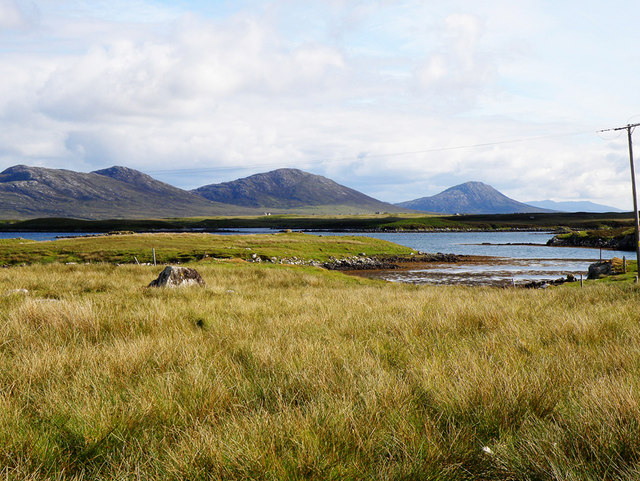
Cnoc na Brathain is a prominent hill located in the Inverness-shire region of Scotland. Rising to a height of approximately 425 meters (1,394 feet), it offers stunning panoramic views of the surrounding countryside and is a popular destination for hikers and outdoor enthusiasts.

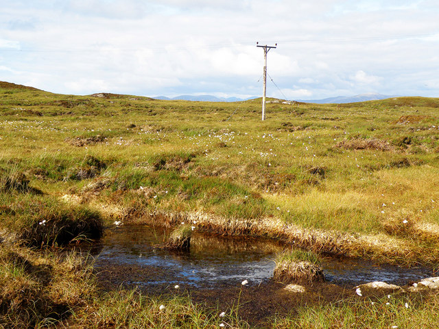
Situated near the village of Fort Augustus, Cnoc na Brathain is part of the wider Glen Morangie range, which is known for its rugged and picturesque landscapes. The hill is characterized by its gently sloping terrain, covered in heather and grasses, making it relatively accessible for walkers of varying abilities.

To reach the summit of Cnoc na Brathain, there are several well-defined hiking trails that wind their way up the hill. These trails vary in difficulty, with some offering a more challenging ascent, while others provide a more leisurely route. Along the way, walkers can expect to encounter diverse flora and fauna, including wildflowers, native bird species, and perhaps even the occasional deer.

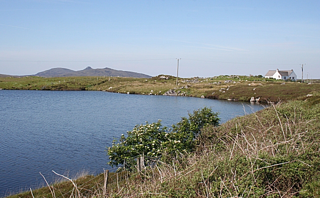
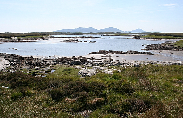
On clear days, the views from the top of Cnoc na Brathain are truly breathtaking. From this vantage point, visitors can marvel at the sweeping vistas of the Great Glen, with its shimmering lochs and rolling hills stretching out in all directions. The nearby Loch Ness is also visible, adding to the allure of the landscape.

Cnoc na Brathain is not only a haven for nature lovers but also offers opportunities for outdoor activities such as photography, birdwatching, and picnicking. Its close proximity to Fort Augustus means that amenities, including parking facilities and accommodation, are readily available for those wishing to explore this beautiful hill and its surroundings.

If you have any feedback on the listing, please let us know in the comments section below.

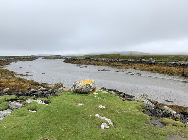
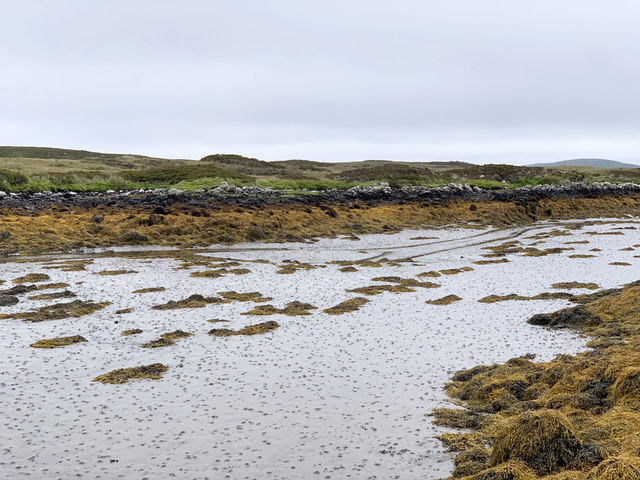
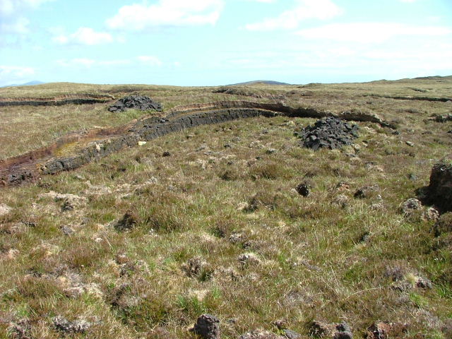
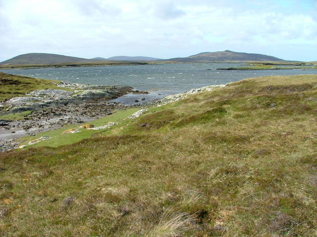
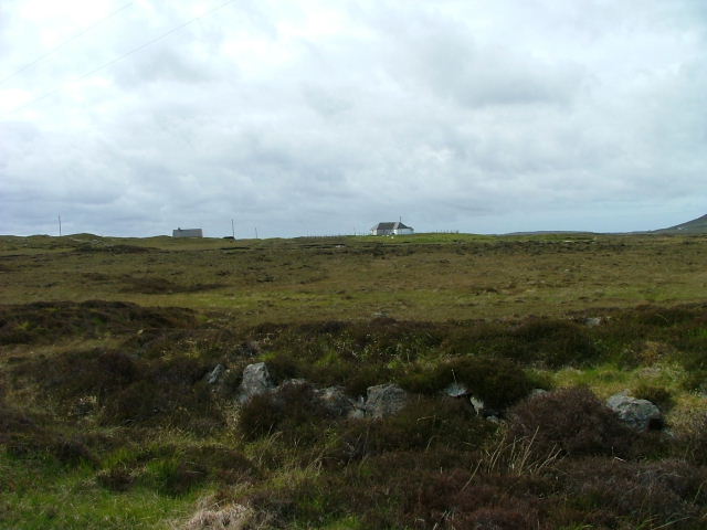
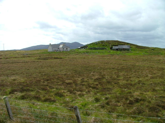
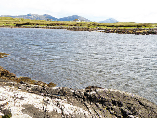
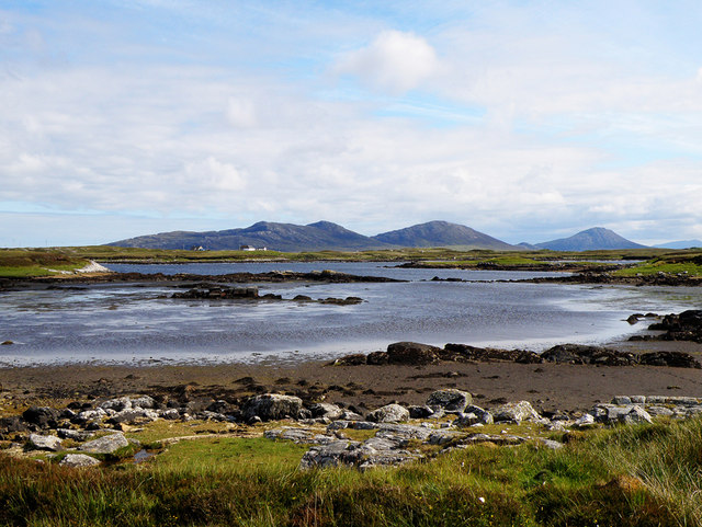
Cnoc na Brathain Images

Images are sourced within 2km of 57.644336/-7.1624566 or Grid Reference NF9273. Thanks to Geograph Open Source API. All images are credited.

Peaty pool by the roadside Cotton grass by the roadside, looking south east towards the hills beyond Lochmaddy.
Peaty pool by the roadside
Cotton grass by the roadside, looking south east towards the hills beyond Lochmaddy.
Peat stacks at Stolie Moorland dropping gently to a tidal channel, with Beinn Mhor in the distance.
Peat stacks at Stolie
Moorland dropping gently to a tidal channel, with Beinn Mhor in the distance.
Tidal channels and mud flats Having squeezed into a corner of this square, further progress across the tidal mud flats would appear to be a foolish move. The unnamed islet some 150m away is, according to the OS map, surrounded by sand. In reality it appears to be a rather sicky mud.
Tidal channels and mud flats
Having squeezed into a corner of this square, further progress across the tidal mud flats would appear to be a foolish move. The unnamed islet some 150m away is, according to the OS map, surrounded by sand. In reality it appears to be a rather sicky mud.
A maze of muddy channels Looking east from the Rubha Dubh promontory across a maze of muddy channels, exposed rocks and little islands.
A maze of muddy channels
Looking east from the Rubha Dubh promontory across a maze of muddy channels, exposed rocks and little islands.
Tidal channel from Rubha Dubh There's a maze of muddy tidal channels here. The OS map indicates sand, but only the foolish, or those with chest waders would be tempted to cross these muddy channels.
Tidal channel from Rubha Dubh
There's a maze of muddy tidal channels here. The OS map indicates sand, but only the foolish, or those with chest waders would be tempted to cross these muddy channels.
Tidal channel between Aird Innis and Aird nan Laogh Seen close to low tide. Aird Innis, almost a separate island is on the far side of the mud.
Tidal channel between Aird Innis and Aird nan Laogh
Seen close to low tide. Aird Innis, almost a separate island is on the far side of the mud.
Tidal channel between Aird Innis and Aird nan Laogh Seen close to low tide. Aird Innis, almost a separate island is on the far side of the mud.
Tidal channel between Aird Innis and Aird nan Laogh
Seen close to low tide. Aird Innis, almost a separate island is on the far side of the mud.
Peat Bank By the Lochportain road.
Peat Bank
By the Lochportain road.
Loch Dheoir From the Lochportain road.
Loch Dheoir
From the Lochportain road.
Open Moorland Looking towards houses at Braigh Chalasaigh.
Open Moorland
Looking towards houses at Braigh Chalasaigh.
Croft at Greanacleit By the Lochportain road.
Croft at Greanacleit
By the Lochportain road.
Loch Dheoir In the distance can be seen Li a Tuath (250m), Li a Deas (281m) and Eabhal (347m)
Loch Dheoir
In the distance can be seen Li a Tuath (250m), Li a Deas (281m) and Eabhal (347m)
Loch Dheoir In the distance can be seen Li a Tuath (250m), Li a Deas (281m) and Eabhal (347m)
Loch Dheoir
In the distance can be seen Li a Tuath (250m), Li a Deas (281m) and Eabhal (347m)
Loch Siginis In the distance can be seen Li a Tuath (250m), Li a Deas (281m), Eabhal (347m) and, on South Uist, Thacla (606m)
Loch Siginis
In the distance can be seen Li a Tuath (250m), Li a Deas (281m), Eabhal (347m) and, on South Uist, Thacla (606m)
Electricity Pole Crossing the soggy peat, as seen at the forefront of the photograph
Electricity Pole
Crossing the soggy peat, as seen at the forefront of the photograph
Tidal rapid draining Loch Dheoir Behind Lochmaddy is an area of shallow lagoons filled and drained by the tides each day. Where the tide runs between the rocks, tidal rapids are formed like this one in a narrows which drains Loch Dheoir towards Loch Blathaisbhal during the ebb.
Tidal rapid draining Loch Dheoir
Behind Lochmaddy is an area of shallow lagoons filled and drained by the tides each day. Where the tide runs between the rocks, tidal rapids are formed like this one in a narrows which drains Loch Dheoir towards Loch Blathaisbhal during the ebb.
Greanacleit Elder flowers are a fairly unusual sight here; these are on the shore of an unnamed lochan at Greanacleit. The distinctive shape of Crògearraidh Mòr is in the distance.
Greanacleit
Elder flowers are a fairly unusual sight here; these are on the shore of an unnamed lochan at Greanacleit. The distinctive shape of Crògearraidh Mòr is in the distance.
Loch Dheoir In the distance are Li a Tuath (North Less), Li a Deas (South Lee) and Eabhal (Eaval), all in the south-east of North Uist.
Loch Dheoir
In the distance are Li a Tuath (North Less), Li a Deas (South Lee) and Eabhal (Eaval), all in the south-east of North Uist.
Show me another place!

Cnoc na Brathain is located at Grid Ref: NF9273 (Lat: 57.644336, Lng: -7.1624566)

Unitary Authority: Na h-Eileanan an Iar

Police Authority: Highlands and Islands

What 3 Words

///sprinkle.relief.senses. Near Lochmaddy, Na h-Eileanan Siar

Related Wikis

Loch an Duin

Loch an Duin is a complex system of freshwater, brackish and sea lochs, tidal channels and islands, on and close to North Uist off the west coast of Scotland...

Ceallasaigh Mòr

Ceallasaigh Mòr (or Keallasay More) is a low-lying island in Loch Maddy off North Uist in the Outer Hebrides of Scotland. This an area of shallow lagoons...

Stromay

Stromay (Scottish Gaelic: Sròmaigh) is a tidal island off North Uist in the Sound of Harris, Scotland. The low island of Stromay lies between two wide...

Ceallasaigh Beag

Ceallasaigh Beag (or Keallasay Beg) is a low-lying island in Loch Maddy off North Uist in the Outer Hebrides of Scotland. This an area of shallow lagoons...

Nearby Amenities

Located within 500m of 57.644336,-7.1624566
Passing Place
Lat/Long: 57.6404366/-7.1622921
Passing Place
Lat/Long: 57.6447417/-7.1696977
Cnoc na Brathain
Natural: peak
Lat/Long: 57.6439997/-7.1612406
Passing Place
Lat/Long: 57.639878/-7.1617397
Power: pole
Lat/Long: 57.6449402/-7.1696758
Power: pole
Lat/Long: 57.6447619/-7.1683039
Power: pole
Lat/Long: 57.6445954/-7.1670177
Passing Place
Lat/Long: 57.6444156/-7.1663111
Power: pole
Lat/Long: 57.6444382/-7.1658443
Power: pole
Lat/Long: 57.6436049/-7.1636529
Power: pole
Lat/Long: 57.6443284/-7.1650369
Passing Place
Lat/Long: 57.642923/-7.1636513
Passing Place
Lat/Long: 57.6438433/-7.1643399
Power: pole
Lat/Long: 57.6442193/-7.1641531
Power: pole
Lat/Long: 57.6428867/-7.1630641
Power: pole
Lat/Long: 57.642352/-7.1626196
Power: pole
Lat/Long: 57.6420019/-7.1623309
Power: pole
Lat/Long: 57.6415836/-7.1619965
Power: pole
Lat/Long: 57.641263/-7.1616607
Power: pole
Lat/Long: 57.6409468/-7.1614808
Power: pole
Lat/Long: 57.6403265/-7.1612673
Passing Place
Lat/Long: 57.6423036/-7.1634051
Passing Place
Lat/Long: 57.6414885/-7.1630367
The data included in this document is from www.openstreetmap.org. The data is made available under ODbL.

Have you been to Cnoc na Brathain?

Leave your review of Cnoc na Brathain below (or comments, questions and feedback).