Cnoc na Feille
Hill, Mountain in Inverness-shire
Scotland
Cnoc na Feille
Cnoc na Feille, also known as Cnoc na Féithe, is a prominent hill located in Inverness-shire, Scotland. It is situated in the eastern part of the county, approximately 10 miles southeast of Inverness. The hill rises to a height of 293 meters (961 feet) and offers breathtaking panoramic views of the surrounding countryside.
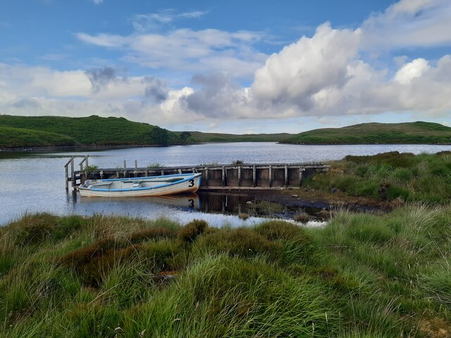
Cnoc na Feille forms part of the larger Monadhliath Mountains, which are known for their rugged beauty and diverse wildlife. The hill is characterized by its gentle slopes and grassy terrain, making it a popular destination for hillwalkers and nature enthusiasts alike.
The summit of Cnoc na Feille is marked by a cairn, providing a scenic spot for visitors to rest and take in the stunning vistas of the surrounding area. On a clear day, one can see the city of Inverness, the Moray Firth, and even the distant peaks of the Cairngorms National Park.
The hill is accessible via several trails and paths, with the most common starting point being the nearby village of Daviot. The ascent is relatively moderate, making it suitable for walkers of all levels of experience. The surrounding area is rich in flora and fauna, with heather, gorse, and various species of wildflowers dotting the landscape.
Cnoc na Feille offers a peaceful and tranquil escape from the hustle and bustle of city life, providing visitors with an opportunity to immerse themselves in the natural beauty of the Scottish Highlands.
If you have any feedback on the listing, please let us know in the comments section below.
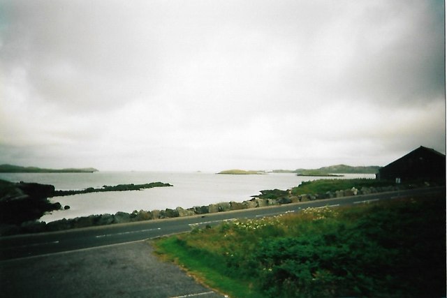
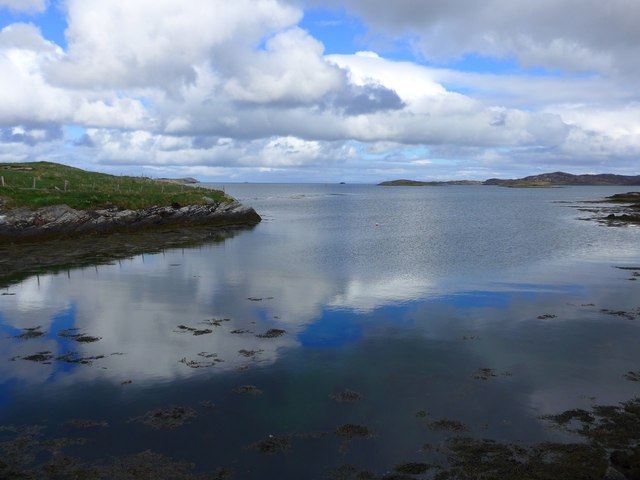
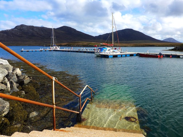
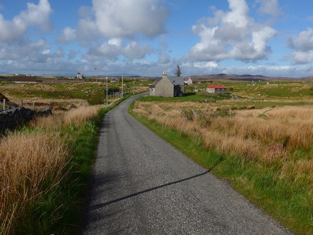
Cnoc na Feille Images
Images are sourced within 2km of 57.605708/-7.1743149 or Grid Reference NF9169. Thanks to Geograph Open Source API. All images are credited.


Cnoc na Feille is located at Grid Ref: NF9169 (Lat: 57.605708, Lng: -7.1743149)
Unitary Authority: Na h-Eileanan an Iar
Police Authority: Highlands and Islands
What 3 Words
///brand.sulk.stub. Near Lochmaddy, Na h-Eileanan Siar
Related Wikis

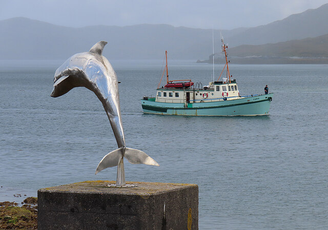
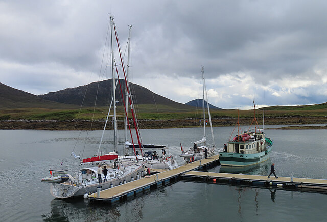
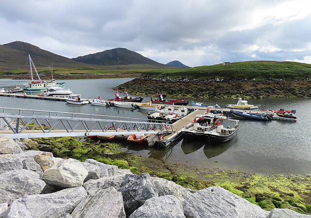
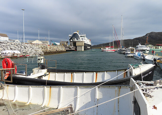
Lochmaddy
Lochmaddy (Scottish Gaelic: Loch nam Madadh [l̪ˠɔx nə ˈmat̪əɣ], "Loch of the Hounds") is the administrative centre of North Uist in the Outer Hebrides...

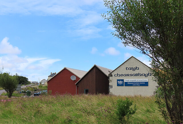
Taigh Chearsabhagh
Taigh Chearsabhagh is an arts centre and museum in Lochmaddy on the island of North Uist, Scotland.Taigh Chearsabhagh was built in 1741 and originally...

Ceallasaigh Beag
Ceallasaigh Beag (or Keallasay Beg) is a low-lying island in Loch Maddy off North Uist in the Outer Hebrides of Scotland. This an area of shallow lagoons...

Ceallasaigh Mòr
Ceallasaigh Mòr (or Keallasay More) is a low-lying island in Loch Maddy off North Uist in the Outer Hebrides of Scotland. This an area of shallow lagoons...

Na Fir Bhrèige
Na Fir Bhrèige (pronounced [nə fiɾʲ ˈvɾʲeːkʲə]; can be translated from Gaelic into English as "The False Men") is a set of three standing stones on the...
Weavers Point
Weavers Point (Scottish Gaelic: Rubha an Fhigheadair) is a headland to the north of the entrance to Loch Maddy, on the north eastern coastline of North...

Loch Sgadabhagh
Loch Sgadabhagh or Loch Scadavay is a body of water on the island of North Uist, Scotland. The name may be of Old Norse derivation meaning "lake of tax...
Loch an Duin
Loch an Duin is a complex system of freshwater, brackish and sea lochs, tidal channels and islands, on and close to North Uist off the west coast of Scotland...
Nearby Amenities
Located within 500m of 57.605708,-7.1743149Have you been to Cnoc na Feille?
Leave your review of Cnoc na Feille below (or comments, questions and feedback).