Loch Dhonnachaidh Riabhaich
Lake, Pool, Pond, Freshwater Marsh in Inverness-shire
Scotland
Loch Dhonnachaidh Riabhaich
Loch Dhonnachaidh Riabhaich is a picturesque freshwater lake located in the county of Inverness-shire, Scotland. Situated amidst the breathtaking Scottish Highlands, this natural water body offers an enchanting retreat for locals and tourists alike.
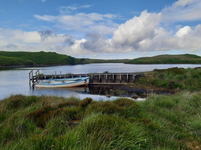
Covering an area of approximately 50 hectares, Loch Dhonnachaidh Riabhaich is surrounded by verdant hills and dense woodlands, creating a serene and captivating atmosphere. The calm and crystal-clear waters of the lake are fed by numerous small streams that flow from the surrounding hills.
The lake's depth varies across its expanse, ranging from shallow pools near the shore to deeper sections at its center. Its average depth is around 5 meters, making it an ideal habitat for a diverse range of aquatic flora and fauna.
The surrounding area of Loch Dhonnachaidh Riabhaich is a haven for nature enthusiasts and outdoor enthusiasts. The lake's marshy edges provide a fertile ground for the growth of various plant species such as reeds, rushes, and water lilies. These wetland areas attract a plethora of bird species, including ducks, geese, herons, and swans, making it a popular spot for birdwatching.
The tranquil ambiance of Loch Dhonnachaidh Riabhaich offers a perfect setting for recreational activities like fishing, boating, and kayaking. Anglers can try their luck at catching brown trout, pike, and perch, which are abundant in the lake.
Accessible via a scenic hiking trail, Loch Dhonnachaidh Riabhaich provides an idyllic escape from the hustle and bustle of urban life. Its unspoiled beauty and rich wildlife make it a must-visit destination for nature lovers and those seeking peace and tranquility in the heart of the Scottish Highlands.
If you have any feedback on the listing, please let us know in the comments section below.
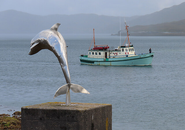
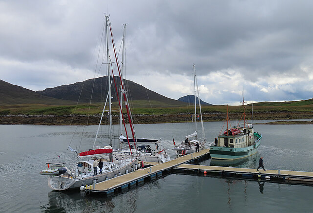
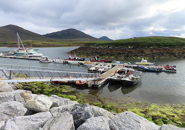
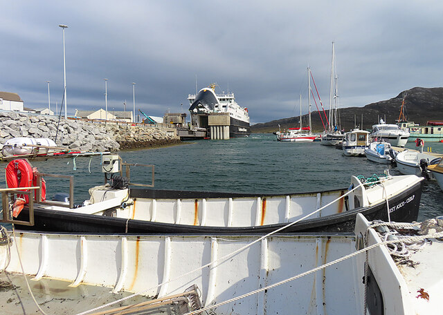
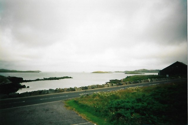
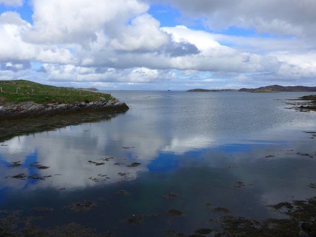
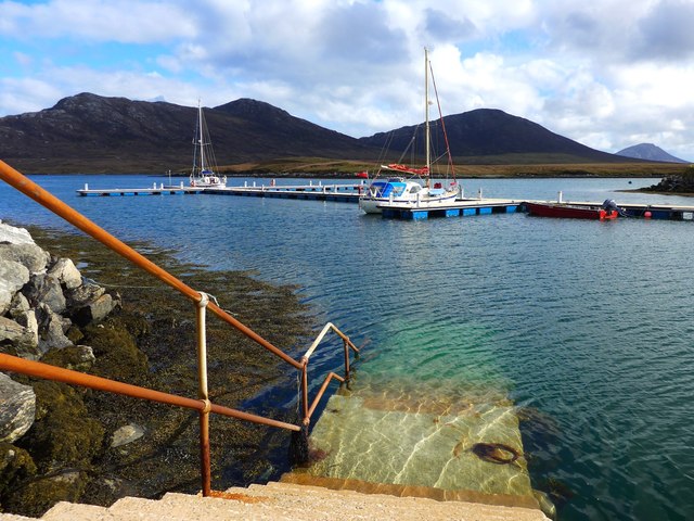
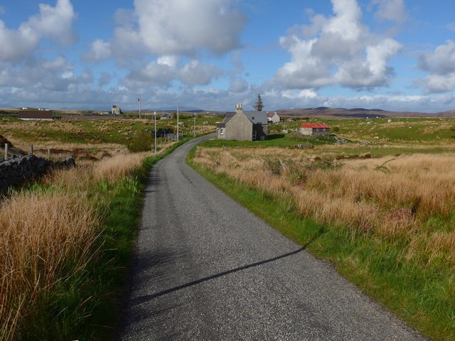
Loch Dhonnachaidh Riabhaich Images
Images are sourced within 2km of 57.606985/-7.1686129 or Grid Reference NF9169. Thanks to Geograph Open Source API. All images are credited.


Loch Dhonnachaidh Riabhaich is located at Grid Ref: NF9169 (Lat: 57.606985, Lng: -7.1686129)
Unitary Authority: Na h-Eileanan an Iar
Police Authority: Highlands and Islands
What 3 Words
///manly.collect.snacks. Near Lochmaddy, Na h-Eileanan Siar
Related Wikis

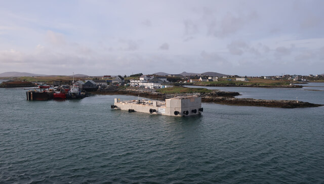
Lochmaddy
Lochmaddy (Scottish Gaelic: Loch nam Madadh [l̪ˠɔx nə ˈmat̪əɣ], "Loch of the Hounds") is the administrative centre of North Uist in the Outer Hebrides...

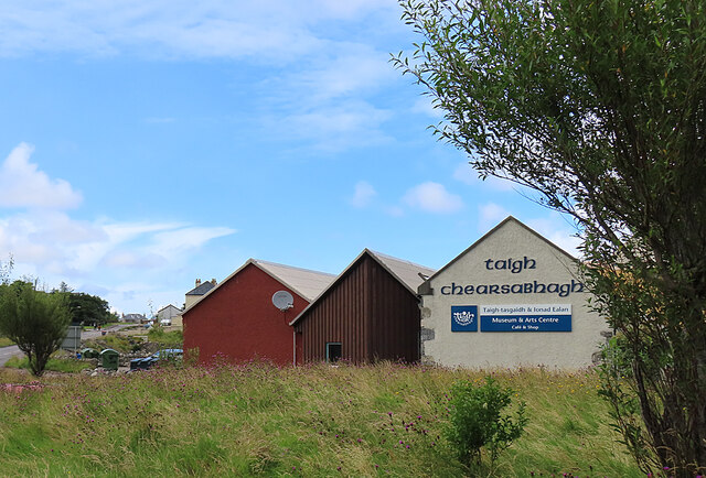
Taigh Chearsabhagh
Taigh Chearsabhagh is an arts centre and museum in Lochmaddy on the island of North Uist, Scotland.Taigh Chearsabhagh was built in 1741 and originally...

Ceallasaigh Beag
Ceallasaigh Beag (or Keallasay Beg) is a low-lying island in Loch Maddy off North Uist in the Outer Hebrides of Scotland. This an area of shallow lagoons...

Ceallasaigh Mòr
Ceallasaigh Mòr (or Keallasay More) is a low-lying island in Loch Maddy off North Uist in the Outer Hebrides of Scotland. This an area of shallow lagoons...
Nearby Amenities
Located within 500m of 57.606985,-7.1686129Have you been to Loch Dhonnachaidh Riabhaich?
Leave your review of Loch Dhonnachaidh Riabhaich below (or comments, questions and feedback).