Gweal Hill
Hill, Mountain in Cornwall
England
Gweal Hill

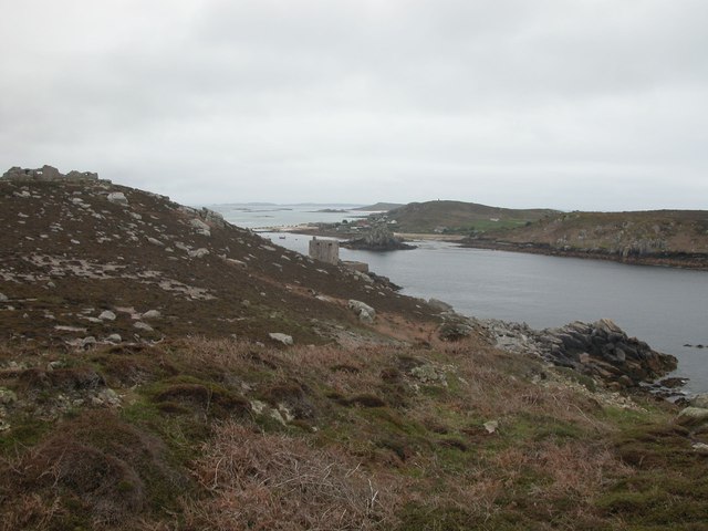
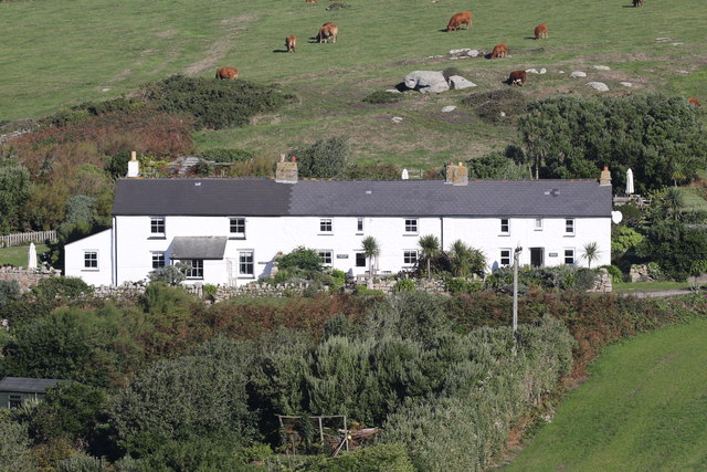
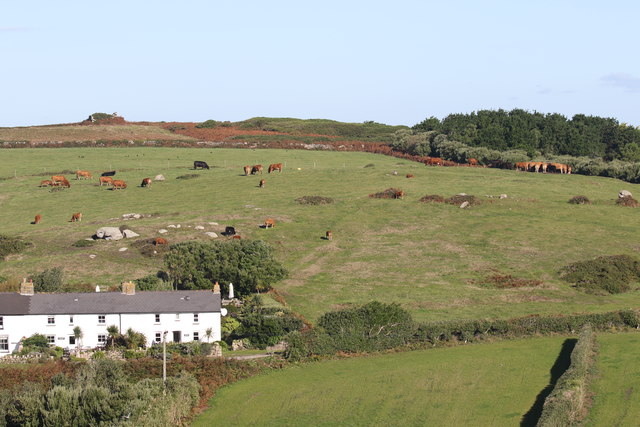
Gweal Hill is a prominent hill located in Cornwall, England. It is situated approximately 2 miles south of Helston, a small town in the county. With an elevation of around 210 meters (690 feet), it offers stunning panoramic views of the surrounding countryside and nearby coast.
The hill is known for its distinctive shape and is often referred to as a "hog's back" due to its long and narrow ridge. Gweal Hill is made up of granite, a common rock type found in the region, which gives it a rugged and picturesque appearance.
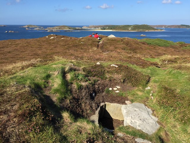
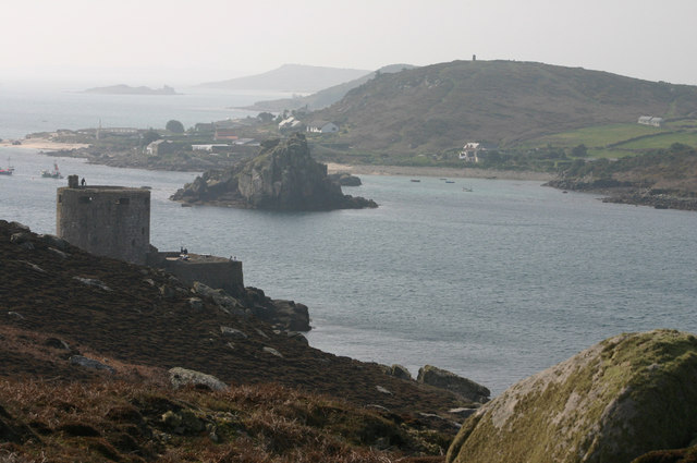
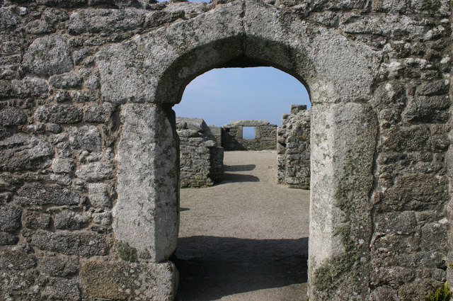
The area around Gweal Hill is rich in history, with evidence of human activity dating back thousands of years. Archaeological remains, including ancient burial mounds and stone circles, can be found nearby, providing insight into the area's prehistoric past.
The hill is also home to a variety of flora and fauna, with heathland and grassland covering its slopes. It is a designated Area of Outstanding Natural Beauty, attracting hikers and nature enthusiasts who come to explore its diverse ecosystem and enjoy the breathtaking views.
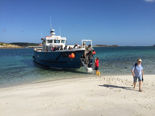
Access to Gweal Hill is relatively easy, with public footpaths and trails leading to its summit. It is a popular destination for walkers and offers a range of routes for all abilities. Additionally, there is parking available nearby, allowing visitors to easily access the hill.
Overall, Gweal Hill is a picturesque and historically significant landmark in Cornwall, offering visitors a chance to immerse themselves in the natural beauty and rich heritage of the region.
If you have any feedback on the listing, please let us know in the comments section below.
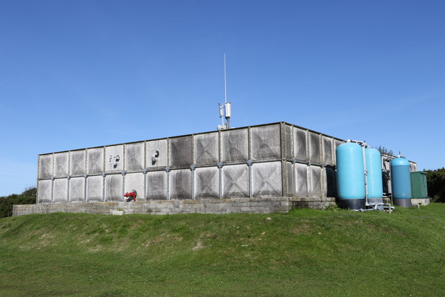
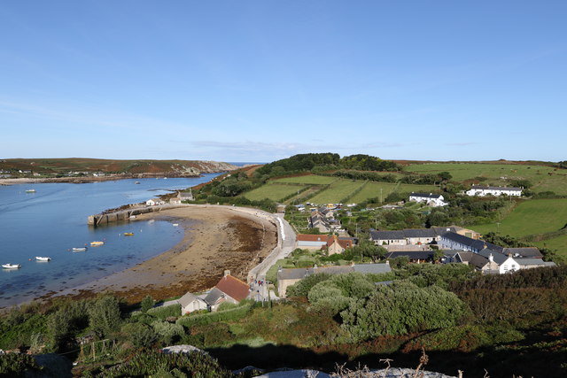
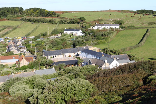
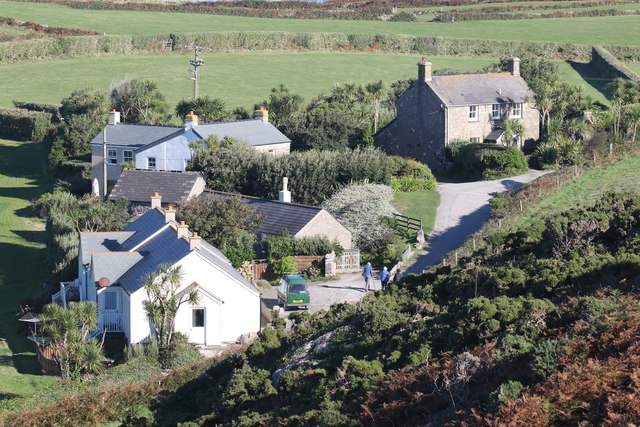
Gweal Hill Images
Images are sourced within 2km of 49.952404/-6.3628165 or Grid Reference SV8714. Thanks to Geograph Open Source API. All images are credited.


Gweal Hill is located at Grid Ref: SV8714 (Lat: 49.952404, Lng: -6.3628165)
Division: Isles of Scilly
Unitary Authority: Isles of Scilly
Police Authority: Devon and Cornwall
What 3 Words
///populate.saturate.stupidly. Near Bryher, Isles of Scilly
Nearby Locations
Related Wikis

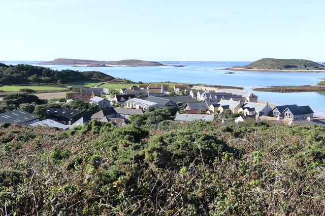
Bryher
Bryher (Cornish: Breyer, lit. 'place of hills') is one of the smallest inhabited islands of the Isles of Scilly, with a population of 84 in 2011, spread...

Gweal, Isles of Scilly
Gweal ( GWEEL; Cornish: Gwydhyel, lit. 'place of trees') is one of the Isles of Scilly. It is the largest of the seven Norrard Rocks due west of Bryher...
Norrard Rocks
The Norrard (Northern) Rocks are a group of small uninhabited granite rocks in the north–western part of the Isles of Scilly, to the west of Bryher and...

All Saints' Church, Bryher
All Saints' Church is a Grade II listed parish church in the Church of England located in Bryher, Isles of Scilly. == History == Bryher is the most westerly...
Nearby Amenities
Located within 500m of 49.952404,-6.3628165Have you been to Gweal Hill?
Leave your review of Gweal Hill below (or comments, questions and feedback).