Wether's Carn
Coastal Feature, Headland, Point in Cornwall
England
Wether's Carn

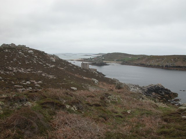
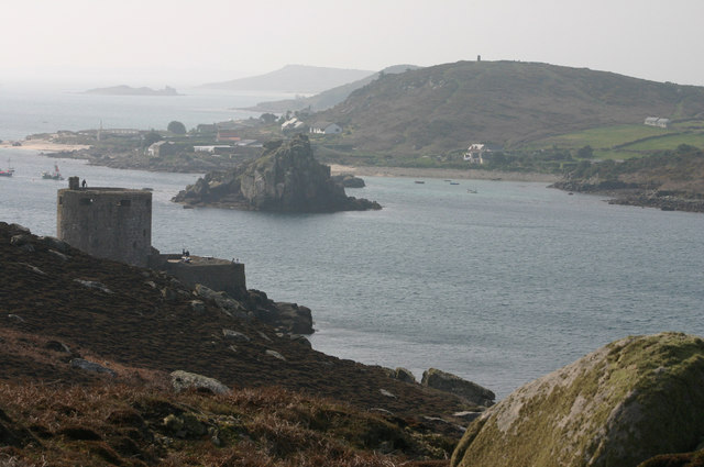
Weather's Carn is a prominent headland located on the south coast of Cornwall, England. Situated between the popular towns of St Ives and Penzance, this coastal feature is known for its stunning natural beauty and rich history.
The headland stands at an impressive height, offering breathtaking panoramic views of the surrounding coastline. Its rugged cliffs, covered in vibrant green vegetation, provide a dramatic backdrop against the sparkling blue waters of the Atlantic Ocean. Weather's Carn is also home to a variety of wildlife, including seabirds, seals, and occasionally dolphins, making it a popular spot for nature enthusiasts and birdwatchers.
The headland is accessible via a well-maintained footpath that winds its way along the cliff edge, providing visitors with an exhilarating walking experience. Along the path, one can observe numerous geological formations, such as sea caves and rock arches, carved out by the relentless waves over centuries.
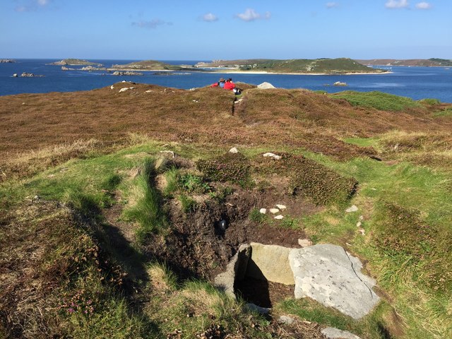
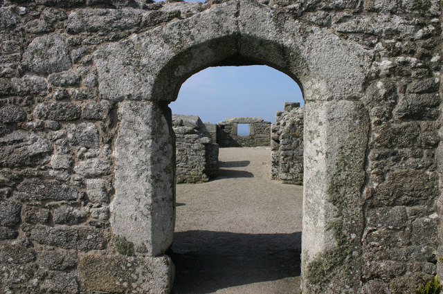
Weather's Carn is steeped in history, with evidence of human habitation dating back to the Iron Age. The remains of a hillfort can still be seen on the headland, offering a glimpse into the lives of ancient inhabitants. Additionally, the headland played a significant role during World War II, serving as a lookout point and coastal defense position.
Overall, Weather's Carn is a captivating coastal feature that showcases the natural wonders and historical significance of Cornwall. Whether it's for the stunning views, the diverse wildlife, or the historical intrigue, this headland is a must-visit destination for those seeking an authentic experience of Cornwall's coastal beauty.
If you have any feedback on the listing, please let us know in the comments section below.
Wether's Carn Images
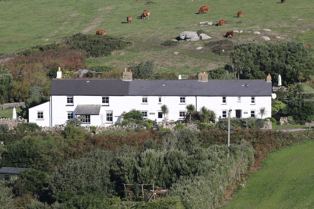
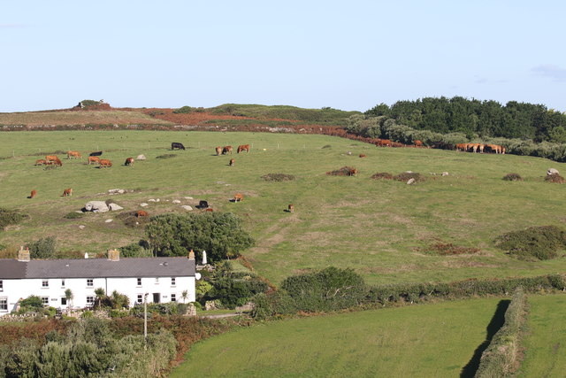
Images are sourced within 2km of 49.950743/-6.3622477 or Grid Reference SV8714. Thanks to Geograph Open Source API. All images are credited.


Wether's Carn is located at Grid Ref: SV8714 (Lat: 49.950743, Lng: -6.3622477)
Division: Isles of Scilly
Unitary Authority: Isles of Scilly
Police Authority: Devon and Cornwall
What 3 Words
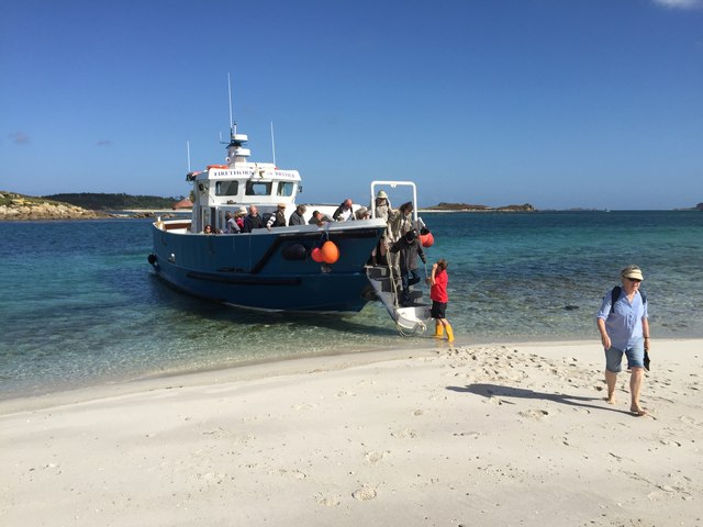
///pushover.withdrew.good. Near Bryher, Isles of Scilly
Nearby Locations
Related Wikis

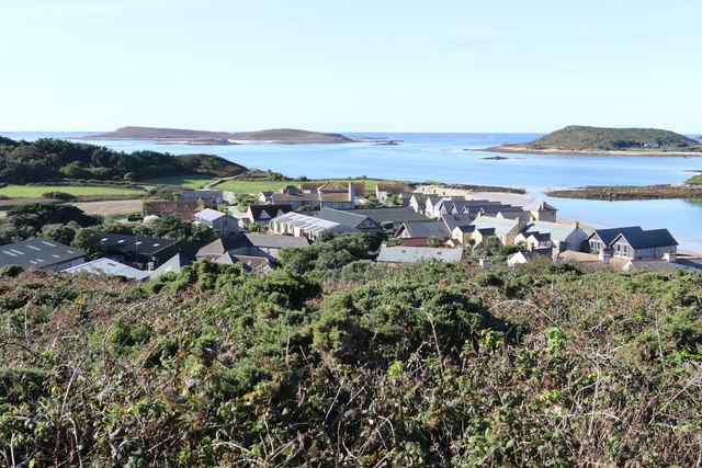
Bryher
Bryher (Cornish: Breyer, lit. 'place of hills') is one of the smallest inhabited islands of the Isles of Scilly, with a population of 84 in 2011, spread...

Gweal, Isles of Scilly
Gweal ( GWEEL; Cornish: Gwydhyel, lit. 'place of trees') is one of the Isles of Scilly. It is the largest of the seven Norrard Rocks due west of Bryher...
Norrard Rocks
The Norrard (Northern) Rocks are a group of small uninhabited granite rocks in the north–western part of the Isles of Scilly, to the west of Bryher and...

All Saints' Church, Bryher
All Saints' Church is a Grade II listed parish church in the Church of England located in Bryher, Isles of Scilly. == History == Bryher is the most westerly...
Nearby Amenities
Located within 500m of 49.950743,-6.3622477Have you been to Wether's Carn?
Leave your review of Wether's Carn below (or comments, questions and feedback).