Merrick Island Neck

Sea, Estuary, Creek in Cornwall

England

Merrick Island Neck

Plum Island Tresco View Across New Grimsby Harbour to Plum island  with the island of Bryher in the background and King Henry's Castle on the extreme right.
Plum Island Tresco Credit: Nigel Mykura

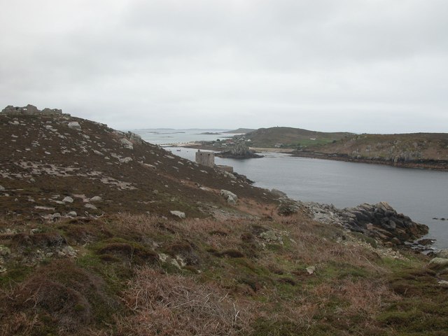
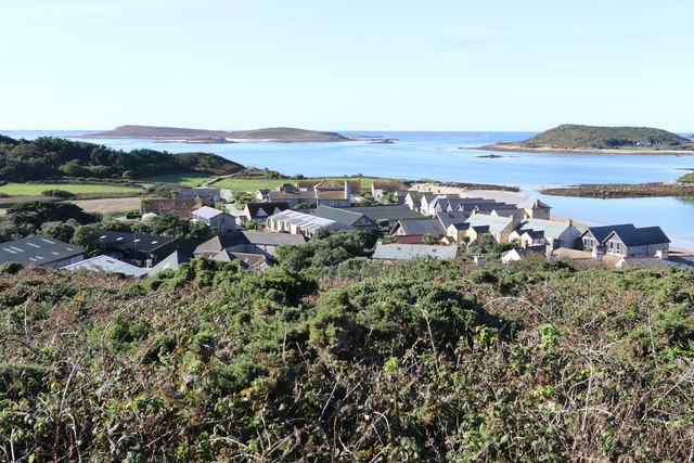
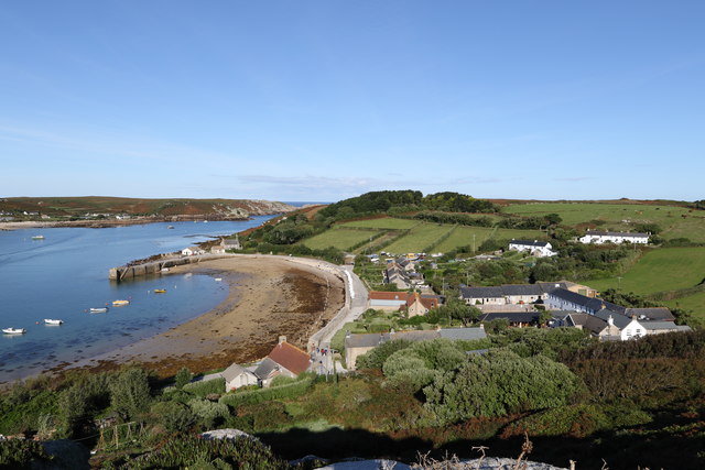
Merrick Island Neck, located in Cornwall, is a unique geographical feature that encompasses a sea, estuary, and creek system. Situated on the southwestern coast of England, this area is a haven for nature enthusiasts and offers breathtaking views of the surrounding landscape.

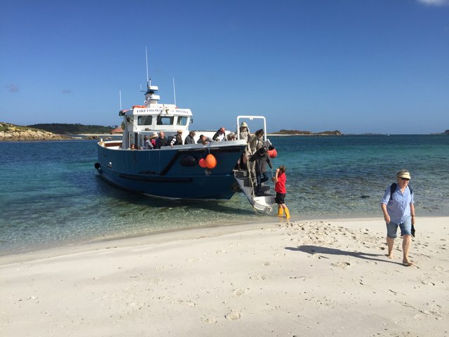
The most prominent feature of Merrick Island Neck is the sea, which stretches out into the horizon, providing a mesmerizing backdrop for visitors. The crashing waves and salty breeze create an invigorating atmosphere, making it a popular destination for beachgoers and water sports enthusiasts alike. The sandy shores are perfect for sunbathing or taking leisurely strolls along the coast.

Adjacent to the sea is an estuary, an area where freshwater meets the saltwater. This unique ecosystem is teeming with marine life and serves as a crucial habitat for a variety of species. Visitors can witness the dynamic interplay between the tides and the ever-changing landscape, as well as observe the diverse array of birdlife that thrives in this environment.

Merrick Island Neck also boasts a creek system, which winds its way through the land, before eventually emptying into the estuary. These narrow waterways provide an opportunity for exploration by kayak or canoe, offering a more intimate experience with the surrounding nature.

Overall, Merrick Island Neck in Cornwall is a captivating destination that showcases the beauty and diversity of the natural world. Whether one is interested in marine life, stunning coastal scenery, or simply seeking a tranquil retreat, this area has something to offer for everyone.

If you have any feedback on the listing, please let us know in the comments section below.

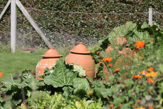
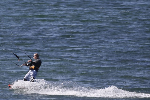
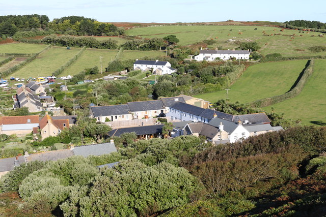
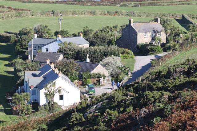
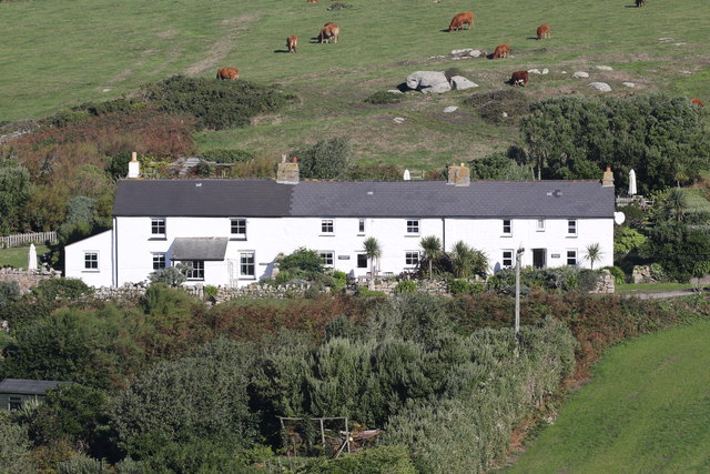
Merrick Island Neck Images

Images are sourced within 2km of 49.949482/-6.3613248 or Grid Reference SV8714. Thanks to Geograph Open Source API. All images are credited.

Plum Island Tresco View Across New Grimsby Harbour to Plum island  with the island of Bryher in the background and King Henry's Castle on the extreme right.
Plum Island Tresco
View Across New Grimsby Harbour to Plum island with the island of Bryher in the background and King Henry's Castle on the extreme right.
A misty day on Bryher Not such a good day, weather wise as the mist was down over the island most of the day. This dull view is looking towards Hell Bay Hotel.
A misty day on Bryher
Not such a good day, weather wise as the mist was down over the island most of the day. This dull view is looking towards Hell Bay Hotel.
Shore , North Tresco Taken during a walk around northern part of Tresco
Shore , North Tresco
Taken during a walk around northern part of Tresco
Alighting on Samson Firethorn dropping off visitors to Samson.
Alighting on Samson
Firethorn dropping off visitors to Samson.
Abandoned dwelling An abandoned dwelling on Samson
Abandoned dwelling
An abandoned dwelling on Samson
Cairns on North Hill Burial chambers on North Hill, Samson
Cairns on North Hill
Burial chambers on North Hill, Samson
Forcing pots In Tresco Abbey Gardens
Forcing pots
In Tresco Abbey Gardens
The vegetable garden In Tresco Abbey Gardens
The vegetable garden
In Tresco Abbey Gardens
Visitors leaving the vegetable garden In Tresco Abbey Gardens
Visitors leaving the vegetable garden
In Tresco Abbey Gardens
Kite Surfing In Appletree Bay, Tresco
Kite Surfing
In Appletree Bay, Tresco
Rainbow between Tresco and Bryher Looking north towards Plumb Island
Rainbow between Tresco and Bryher
Looking north towards Plumb Island
Bracken above the Flying Boat Club On Tresco
Bracken above the Flying Boat Club
On Tresco
Water tanks Providing most of the fresh water for Tresco
Water tanks
Providing most of the fresh water for Tresco
New Grimsby Harbour From the hill overlooking the harbour
New Grimsby Harbour
From the hill overlooking the harbour
The New Inn and New Grimsby On the west side of Tresco
The New Inn and New Grimsby
On the west side of Tresco
Firethorn of Tresco Boat Services Collecting passengers for a trip to the Northern Rocks and St Agnes
Firethorn of Tresco Boat Services
Collecting passengers for a trip to the Northern Rocks and St Agnes
Townshill cottages Properties on the top of Townshill
Townshill cottages
Properties on the top of Townshill
Three cottages painted white as a daymark Dial Rocks, Coastguards and North End cottages
Three cottages painted white as a daymark
Dial Rocks, Coastguards and North End cottages
Show me another place!

Merrick Island Neck is located at Grid Ref: SV8714 (Lat: 49.949482, Lng: -6.3613248)

Division: Isles of Scilly

Unitary Authority: Isles of Scilly

Police Authority: Devon and Cornwall

What 3 Words

///revival.disclose.flexibly. Near Bryher, Isles of Scilly

Related Wikis

Bryher

Bryher (Cornish: Breyer, lit. 'place of hills') is one of the smallest inhabited islands of the Isles of Scilly, with a population of 84 in 2011, spread...

Gweal, Isles of Scilly

Gweal ( GWEEL; Cornish: Gwydhyel, lit. 'place of trees') is one of the Isles of Scilly. It is the largest of the seven Norrard Rocks due west of Bryher...

Norrard Rocks

The Norrard (Northern) Rocks are a group of small uninhabited granite rocks in the north–western part of the Isles of Scilly, to the west of Bryher and...

All Saints' Church, Bryher

All Saints' Church is a Grade II listed parish church in the Church of England located in Bryher, Isles of Scilly. == History == Bryher is the most westerly...

Nearby Amenities

Located within 500m of 49.949482,-6.3613248
Source: PGS
Lat/Long: 49.9472667/-6.3575153
Source: PGS
Lat/Long: 49.9507418/-6.3582623
Source: PGS
Lat/Long: 49.9472063/-6.3574818
Source: PGS
Lat/Long: 49.9502663/-6.3594427
Source: PGS
Lat/Long: 49.9516781/-6.3609096
Source: PGS
Lat/Long: 49.9505645/-6.3596076
Source: PGS
Lat/Long: 49.9496055/-6.3564328
Source: PGS
Lat/Long: 49.9504502/-6.3582811
Source: PGS
Lat/Long: 49.9505874/-6.3588484
Hell Bay Hotel
Tourism: hotel
Website: https://www.hellbay.co.uk/
Lat/Long: 49.9516201/-6.3574089
Source: PGS
Lat/Long: 49.9496149/-6.3562436
Source: PGS
Lat/Long: 49.9503259/-6.3568993
Heathy Hill
Natural: peak
Lat/Long: 49.9466436/-6.3604121
Great Porth
Natural: bay
Lat/Long: 49.9492944/-6.3581168
Droppy Nose Point
Place: locality
Lat/Long: 49.9453851/-6.3636149
Stony Porth
Natural: bay
Lat/Long: 49.9454858/-6.3602024
Wether's Carn
Place: locality
Lat/Long: 49.9508534/-6.3630635
Stoneship Porth
Natural: bay
Lat/Long: 49.9476225/-6.3621398
Informal: yes
Leisure: playground
Lat/Long: 49.9466083/-6.3589966
Gweal Hill
Natural: peak
Lat/Long: 49.9527041/-6.3631547
The data included in this document is from www.openstreetmap.org. The data is made available under ODbL.

Have you been to Merrick Island Neck?

Leave your review of Merrick Island Neck below (or comments, questions and feedback).