Hatharsal
Hill, Mountain in Inverness-shire
Scotland
Hatharsal
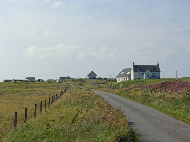
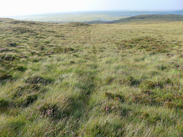
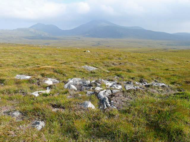
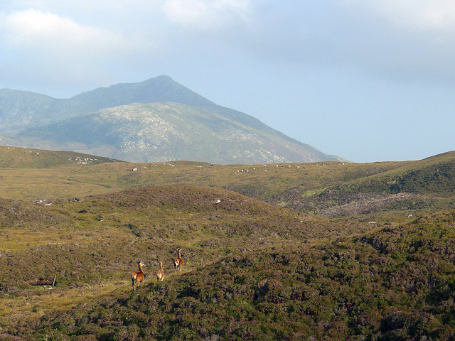
Hatharsal is a hill located in the Inverness-shire region of Scotland. Standing at an elevation of approximately 1,699 feet (518 meters), it offers stunning panoramic views of the surrounding landscape. Hatharsal is a popular destination for hikers and outdoor enthusiasts looking to experience the rugged beauty of the Scottish Highlands.
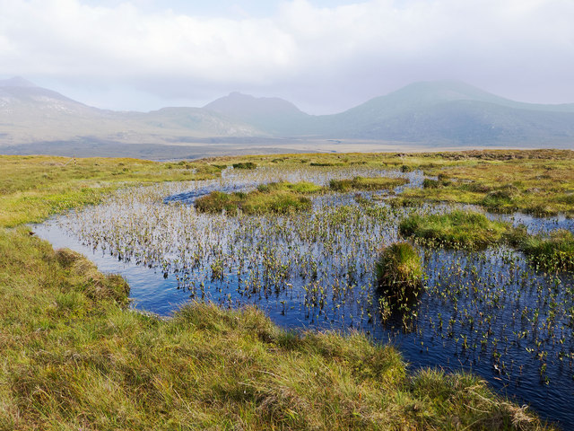
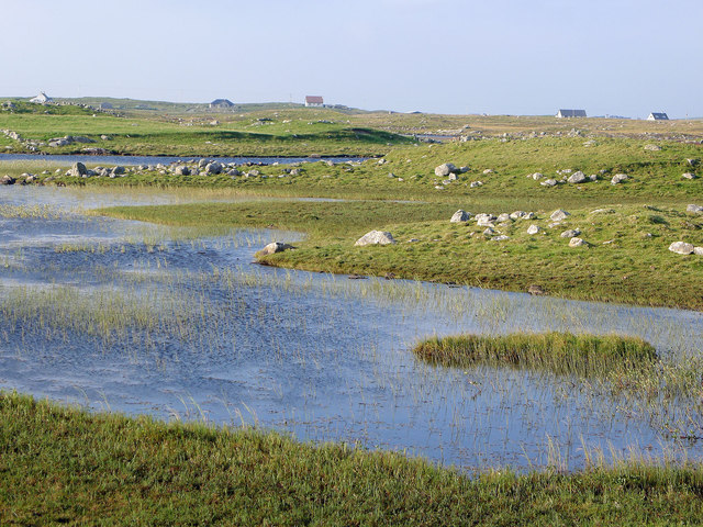
The hill is characterized by its steep slopes and rocky terrain, making it a challenging but rewarding climb for those who are up for the adventure. The summit of Hatharsal provides a vantage point from which visitors can admire the rolling hills, lush green valleys, and shimmering lochs that make up the breathtaking scenery of the region.
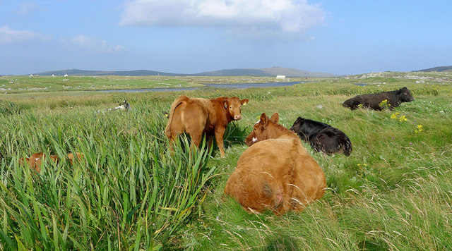
Hatharsal is also home to a variety of wildlife, including birds of prey, deer, and other native species that can be spotted along the hill's slopes. The hill is accessible via several hiking trails, with varying levels of difficulty to accommodate hikers of all skill levels.
Overall, Hatharsal is a must-visit destination for nature lovers and outdoor enthusiasts seeking to explore the rugged beauty of the Scottish Highlands.
If you have any feedback on the listing, please let us know in the comments section below.
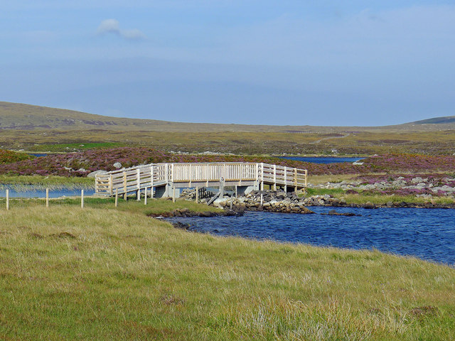
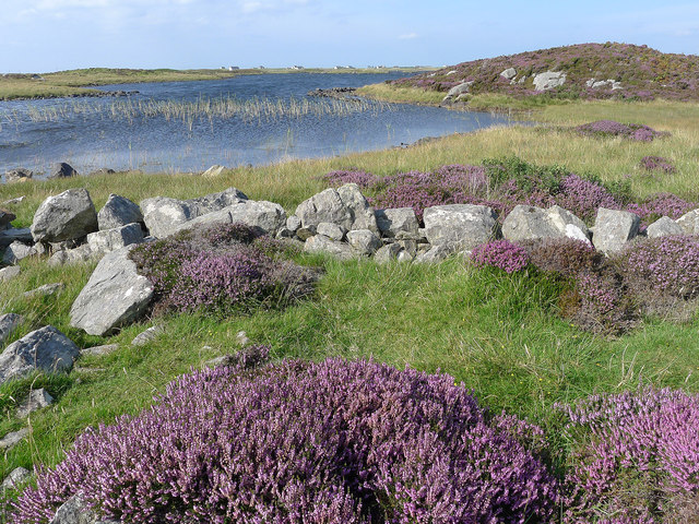
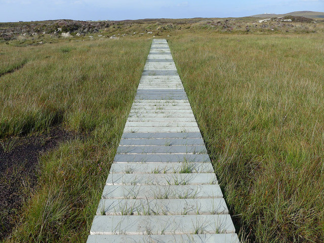
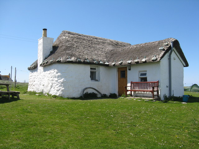
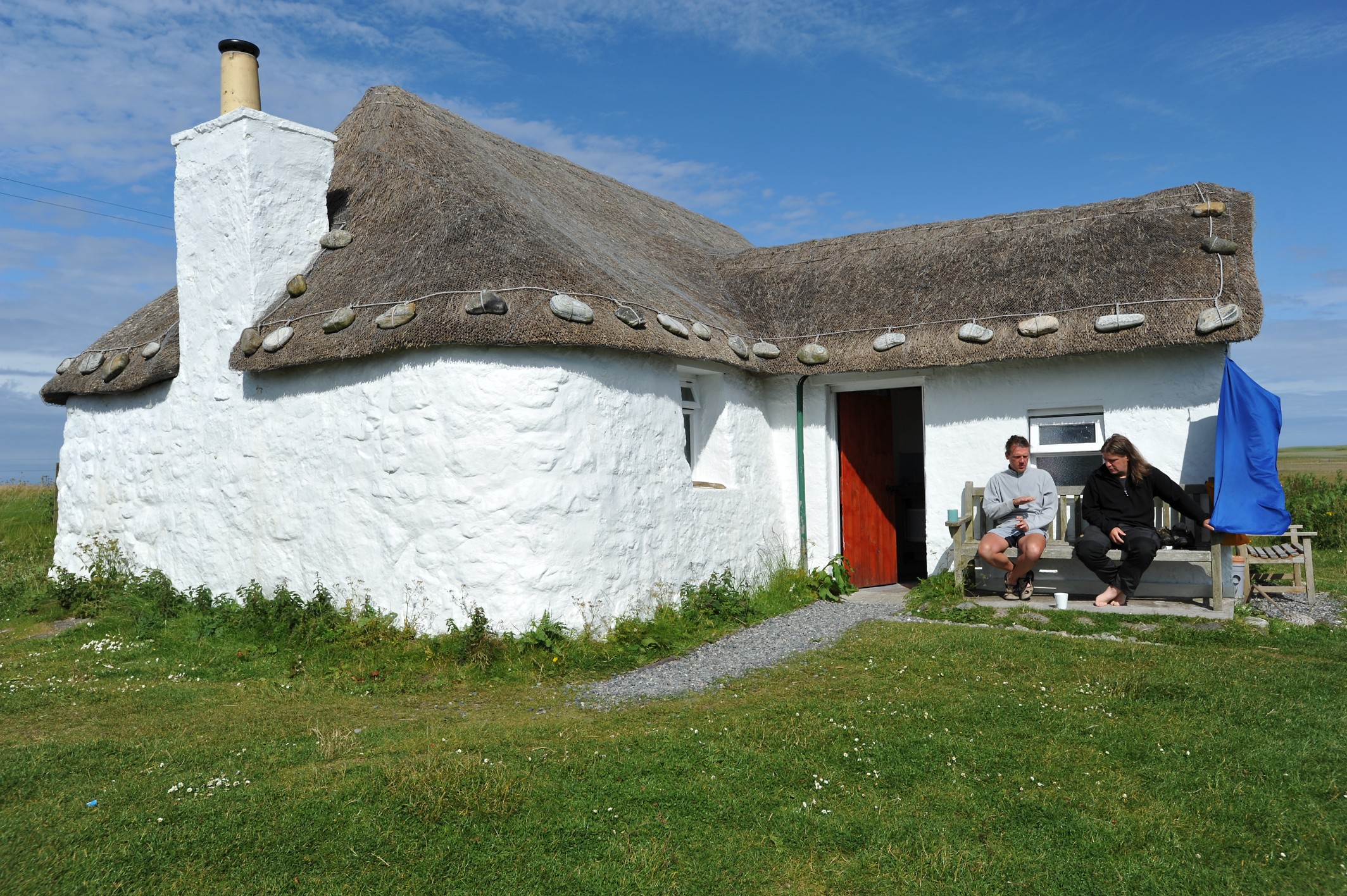
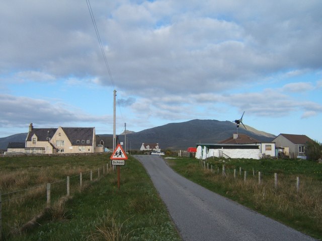
Hatharsal Images
Images are sourced within 2km of 57.299131/-7.3557471 or Grid Reference NF7735. Thanks to Geograph Open Source API. All images are credited.
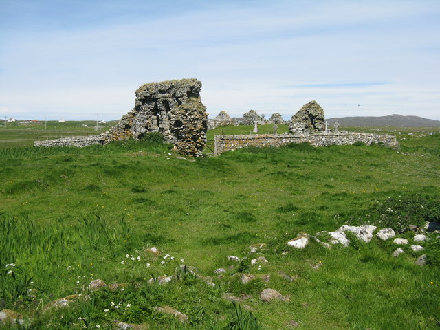
![The Ancient chapels at Tobha Mòr Map and information about the five historic chapels [12-13thC] that were, at one time or another, on this site.](https://s3.geograph.org.uk/geophotos/04/99/97/4999731_d7f1be66.jpg)
Hatharsal is located at Grid Ref: NF7735 (Lat: 57.299131, Lng: -7.3557471)
Unitary Authority: Na h-Eileanan an Iar
Police Authority: Highlands and Islands
What 3 Words
///advice.struggle.porridge. Near Lochboisdale, Na h-Eileanan Siar
Nearby Locations
Related Wikis
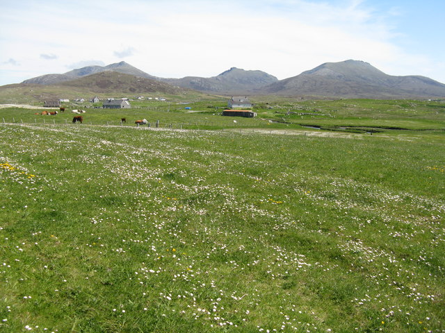
Howmore
Howmore (Scottish Gaelic: Togh Mòr / Tobha Mor) lies on the island of South Uist to the southwest of Loch Druidibeg. The mountain of Haarsal rises to 139...

South Uist Machair and Lochs
The South Uist Machair and Lochs is a protected wetland area on the west coast of South Uist in the Outer Hebrides of Scotland. A total of 5,019 hectares...

Loch Druidibeg
Loch Druidibeag is a freshwater loch situated on the island of South Uist, in the Outer Hebrides of Scotland. The loch is near the northern end of the...
Stoneybridge
Stoneybridge (Scottish Gaelic: Staoinebrig) is a village on the island of South Uist in Scotland. The Crois Chnoca Breaca standing stone is situated to...
Nearby Amenities
Located within 500m of 57.299131,-7.3557471Have you been to Hatharsal?
Leave your review of Hatharsal below (or comments, questions and feedback).