Loch Hatharsal

Lake, Pool, Pond, Freshwater Marsh in Inverness-shire

Scotland

Loch Hatharsal

Cows on the machair, Howmore
Cows on the machair, Howmore Credit: Julian Paren

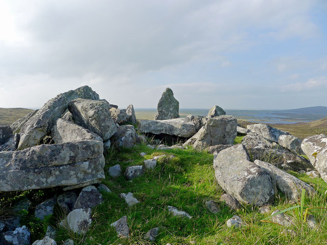
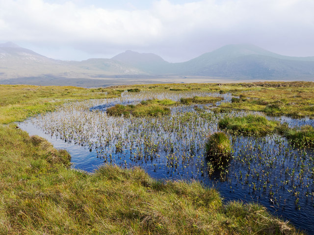
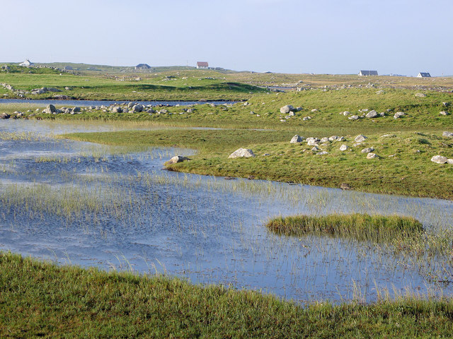
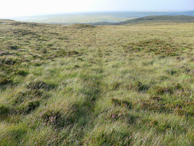
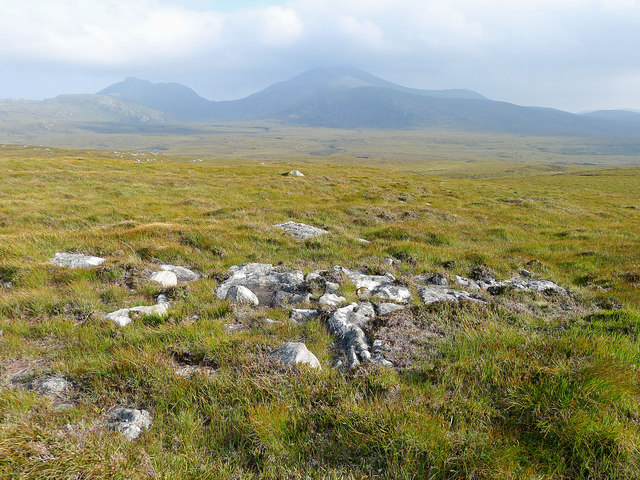
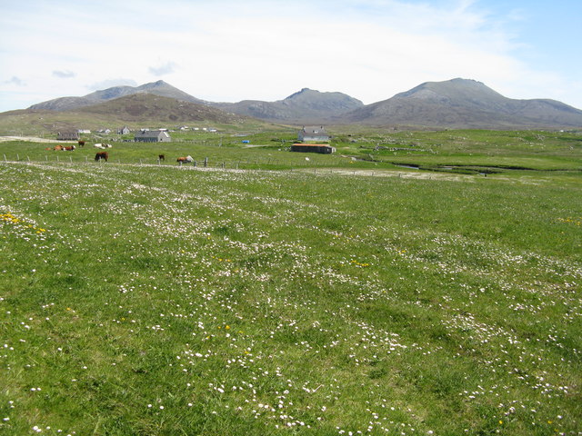
Loch Hatharsal is a freshwater loch located in the remote and picturesque area of Inverness-shire, Scotland. This tranquil body of water is surrounded by stunning natural beauty, with rolling hills and lush greenery providing a peaceful and idyllic setting for visitors.

The loch is relatively small in size, with a surface area of around 10 acres, making it a perfect spot for those looking for a quiet and secluded escape. The water is crystal clear and teeming with a variety of freshwater fish, making it a popular spot for anglers looking to catch trout or salmon.

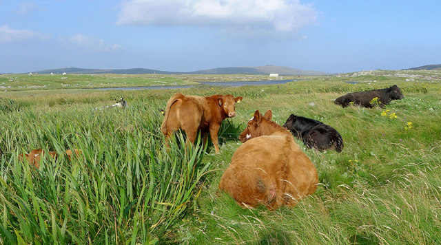
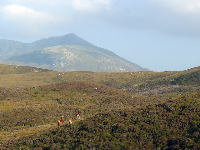
Surrounded by dense forests and moorland, Loch Hatharsal is a haven for wildlife, with otters, deer, and a variety of bird species frequently spotted in the area. The loch is also a popular destination for birdwatchers, with a number of rare and endangered species making their home in the surrounding marshlands.

Whether you're looking to fish, birdwatch, or simply relax and enjoy the stunning scenery, Loch Hatharsal is a hidden gem in the Scottish Highlands that is sure to leave a lasting impression on visitors.

If you have any feedback on the listing, please let us know in the comments section below.

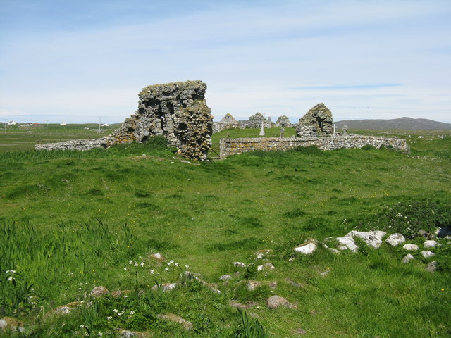
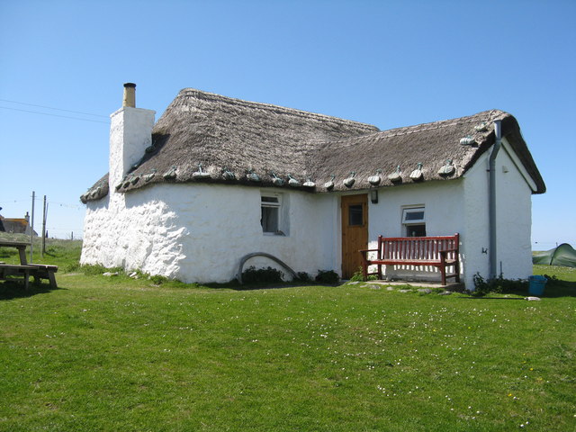
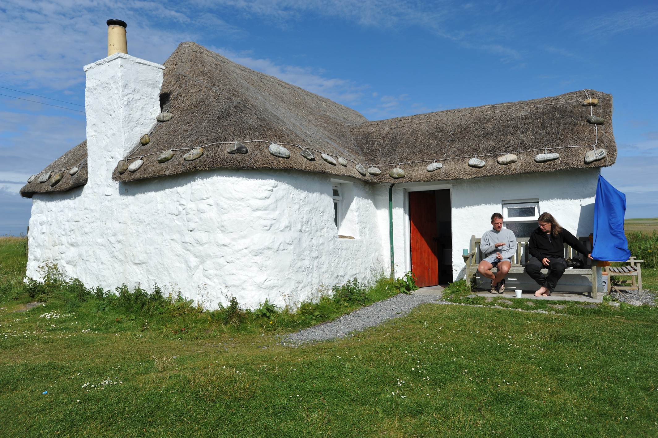
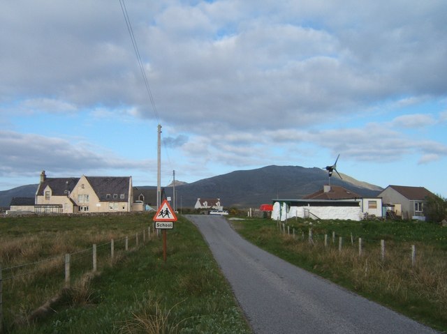
Loch Hatharsal Images

Images are sourced within 2km of 57.294406/-7.3574521 or Grid Reference NF7735. Thanks to Geograph Open Source API. All images are credited.

Cows on the machair, Howmore
Chambered Cairn below Hatharsal, South Uist A patch of green surrounds the remains of the chambered cairn.  Deer were seen closeby.
Chambered Cairn below Hatharsal, South Uist
A patch of green surrounds the remains of the chambered cairn. Deer were seen closeby.
Lochan on the side of Hatharsal Looking towards the main peaks of South Uist, Hecla, Beinn Chorodail and Beinn Mhor.
Lochan on the side of Hatharsal
Looking towards the main peaks of South Uist, Hecla, Beinn Chorodail and Beinn Mhor.
View from the road to the Howmore Youth Hostel Interlocking stretches of water are seen in this fertile terrain.  Isolated croft houses dot the countryside.
View from the road to the Howmore Youth Hostel
Interlocking stretches of water are seen in this fertile terrain. Isolated croft houses dot the countryside.
Animal track to the ridge Looking back towards Loch Druidibeg and the sea beyond.
Animal track to the ridge
Looking back towards Loch Druidibeg and the sea beyond.
Moorland of South Uist Hecla and Beinn Mhor stand out beyond a vast arena of moorland.
Moorland of South Uist
Hecla and Beinn Mhor stand out beyond a vast arena of moorland.
Red deer on Hatharsal, South Uist Suddenly I was within feet of them.  Apparently neither I nor they had sensed the approach. Hecla looms behind.
Red deer on Hatharsal, South Uist
Suddenly I was within feet of them. Apparently neither I nor they had sensed the approach. Hecla looms behind.
Pasture at Howmore Looking across to
Pasture at Howmore
Looking across to
St Dermot's Chapel at Howmore And burial ground. One of several ancient chapels on this site.
St Dermot's Chapel at Howmore
And burial ground. One of several ancient chapels on this site.
Thatched cottage at Howmore Restored and used as a hostel. For an earlier image see <a href="https://www.geograph.org.uk/photo/200636">NF7536 : Howbeg</a>.
Thatched cottage at Howmore
Restored and used as a hostel. For an earlier image see NF7536 : Howbeg.
Chapels at Howmore/Tobha Mòr The solitary gravestone, to the left of the visitor in red, is a Commonwealth War Grave of an unknown sailor.
Chapels at Howmore/Tobha Mòr
The solitary gravestone, to the left of the visitor in red, is a Commonwealth War Grave of an unknown sailor.
Re-roofing at Howmore/Tobha Mòr One with a neat heather thatch, the other still a work in progress. The irises in the foreground look like good corncrake habitat. The hills beyond are Hecla/Thacla and Beinn Choradail.
Re-roofing at Howmore/Tobha Mòr
One with a neat heather thatch, the other still a work in progress. The irises in the foreground look like good corncrake habitat. The hills beyond are Hecla/Thacla and Beinn Choradail.
House at Tobha Mòr A smartened-up successor to a black house - with chimneys and higher walls - and possibly a holiday house.
House at Tobha Mòr
A smartened-up successor to a black house - with chimneys and higher walls - and possibly a holiday house.
Rocky grassland at Tobha Mòr The ground is so undulating that it is hardly noticeable that the A856 is passing through the picture.
Rocky grassland at Tobha Mòr
The ground is so undulating that it is hardly noticeable that the A856 is passing through the picture.
Boat, shed and house at Tobha Mòr And also a delivery van body, which seems to be an additional storage option in the islands.
Boat, shed and house at Tobha Mòr
And also a delivery van body, which seems to be an additional storage option in the islands.
Sunrise over the ecclesiastical remains, Howmore With a youth hostel next door the ruins at Howmore can be enjoyed before breakfast!
Sunrise over the ecclesiastical remains, Howmore
With a youth hostel next door the ruins at Howmore can be enjoyed before breakfast!
Howmore Hostel of the Gatliff Trust Howmore is one of three hostels run by the Gatliff Hebridean Hostels Trust.  The warden Betty MacDonald lives in the village of Howmore. Beinn Mhor dominates this view of the rear of the hostel.  The accommodation block is thatched.
Howmore Hostel of the Gatliff Trust
Howmore is one of three hostels run by the Gatliff Hebridean Hostels Trust. The warden Betty MacDonald lives in the village of Howmore. Beinn Mhor dominates this view of the rear of the hostel. The accommodation block is thatched.
Howmore River The usual view upstream of Howmore Bridge with the added winter bonus of snow capped hills!
Howmore River
The usual view upstream of Howmore Bridge with the added winter bonus of snow capped hills!
Show me another place!

Loch Hatharsal is located at Grid Ref: NF7735 (Lat: 57.294406, Lng: -7.3574521)

Unitary Authority: Na h-Eileanan an Iar

Police Authority: Highlands and Islands

What 3 Words

///growth.farmed.hardens. Near Lochboisdale, Na h-Eileanan Siar

Related Wikis

Howmore

Howmore (Scottish Gaelic: Togh Mòr / Tobha Mor) lies on the island of South Uist to the southwest of Loch Druidibeg. The mountain of Haarsal rises to 139...

South Uist Machair and Lochs

The South Uist Machair and Lochs is a protected wetland area on the west coast of South Uist in the Outer Hebrides of Scotland. A total of 5,019 hectares...

Loch Druidibeg

Loch Druidibeag is a freshwater loch situated on the island of South Uist, in the Outer Hebrides of Scotland. The loch is near the northern end of the...

Stoneybridge

Stoneybridge (Scottish Gaelic: Staoinebrig) is a village on the island of South Uist in Scotland. The Crois Chnoca Breaca standing stone is situated to...

Nearby Amenities

Located within 500m of 57.294406,-7.3574521
Power: pole
Lat/Long: 57.2963964/-7.3638198
Power: pole
Lat/Long: 57.2959385/-7.3635837
Power: pole
Lat/Long: 57.2953994/-7.3633397
Power: pole
Lat/Long: 57.294569/-7.3636347
Power: pole
Lat/Long: 57.2936922/-7.3639914
Power: pole
Lat/Long: 57.2928052/-7.3643535
Passing Place
Lat/Long: 57.2937276/-7.3648411
Passing Place
Lat/Long: 57.2944489/-7.3640332
Passing Place
Lat/Long: 57.295429/-7.3641913
The data included in this document is from www.openstreetmap.org. The data is made available under ODbL.

Have you been to Loch Hatharsal?

Leave your review of Loch Hatharsal below (or comments, questions and feedback).