Loch nan Arm

Lake, Pool, Pond, Freshwater Marsh in Inverness-shire

Scotland

Loch nan Arm

Chambered Cairn below Hatharsal, South Uist A patch of green surrounds the remains of the chambered cairn.  Deer were seen closeby.
Chambered Cairn below Hatharsal, South Uist Credit: Julian Paren

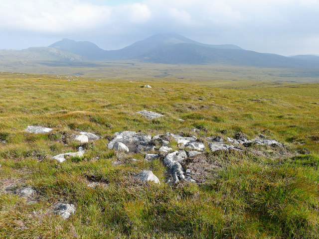
Loch nan Arm, located in Inverness-shire, Scotland, is a picturesque freshwater lake nestled amidst the beautiful Scottish Highlands. With a surface area of approximately 15 hectares, it is often referred to as a loch, which is the Scottish term for a lake.

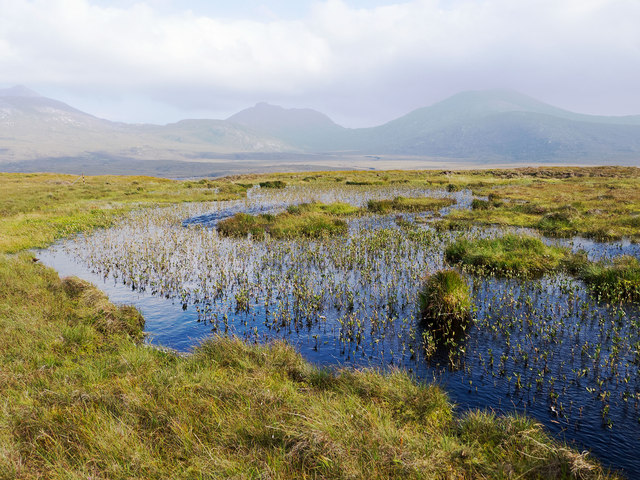
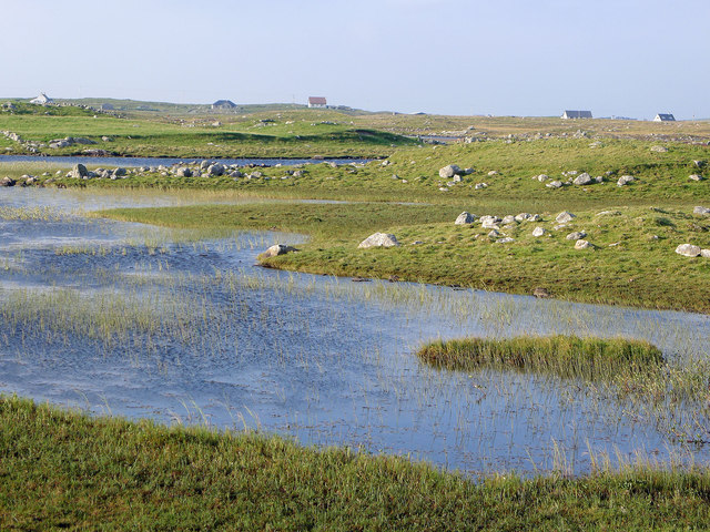
Surrounded by rolling hills and lush greenery, Loch nan Arm offers a serene and tranquil environment for visitors to enjoy. The calm, crystal-clear waters of the lake reflect the stunning scenery, creating a postcard-perfect setting. The loch is fed by small streams and springs, ensuring a constant flow of freshwater.

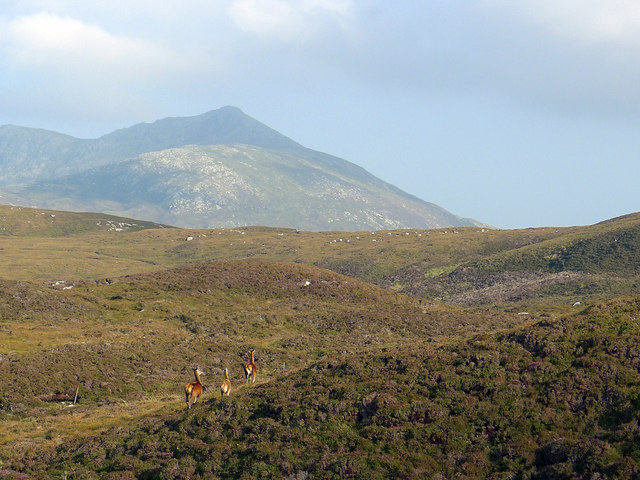
The biodiversity of Loch nan Arm is remarkable, making it a haven for nature enthusiasts. The lake is home to various species of fish, including brown trout and perch, making it a popular spot for fishing enthusiasts. Birds such as swans, ducks, and geese can also be spotted on the lake, adding to its natural charm.

Surrounding the lake, there is a diverse ecosystem of wetlands, marshes, and ponds. These freshwater marshes support a wide range of plant life, including reeds, rushes, and water lilies. The marshes provide crucial habitats for various species of birds, insects, and amphibians.

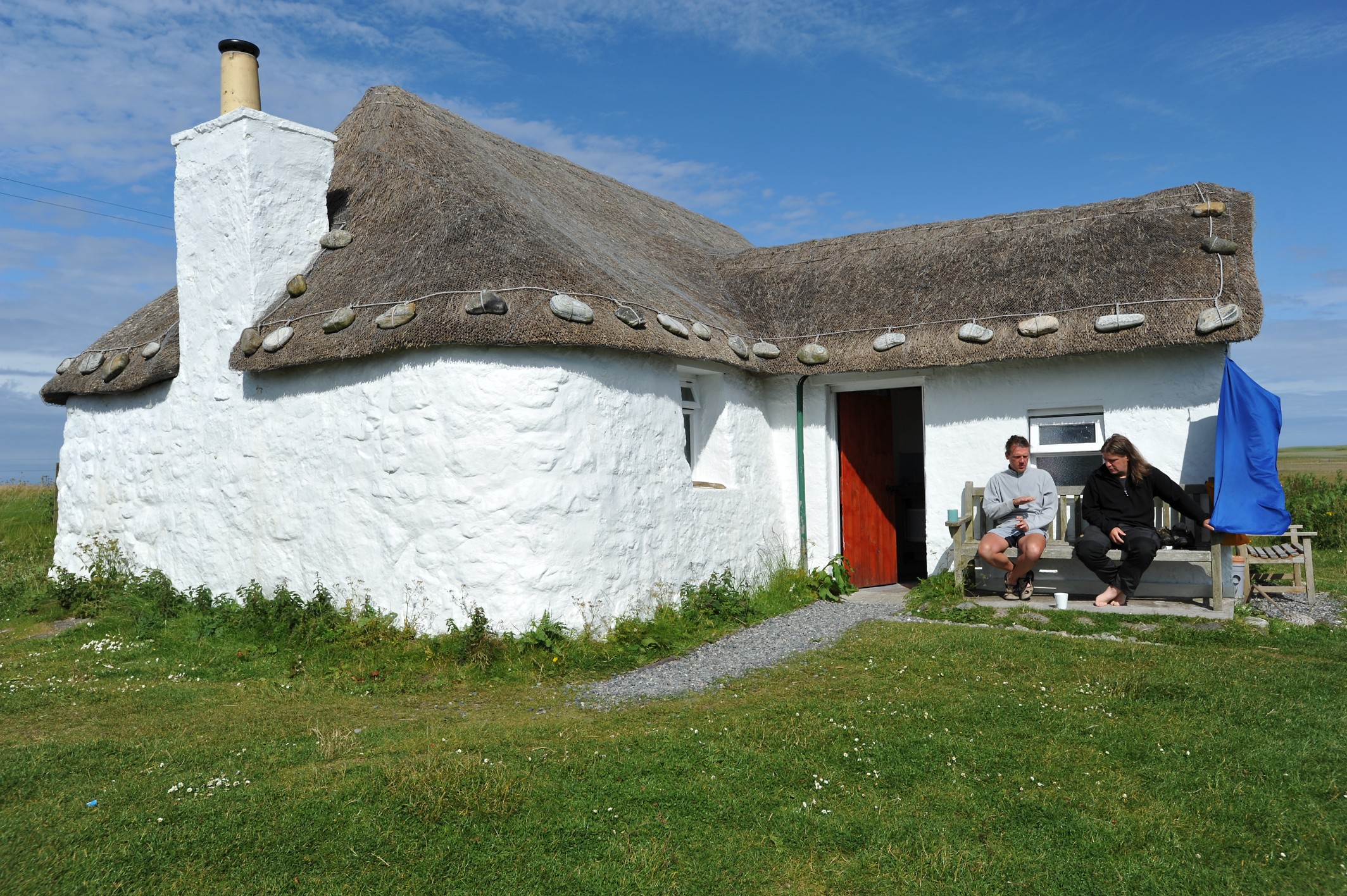
Visitors to Loch nan Arm can enjoy a range of outdoor activities, including fishing, birdwatching, and leisurely walks along the lake's shore. The surrounding area offers breathtaking views and opportunities for hiking and exploring the nearby Highland landscape.

In summary, Loch nan Arm is a stunning freshwater lake in Inverness-shire, offering a peaceful retreat amidst the Scottish Highlands. Its natural beauty, diverse wildlife, and recreational opportunities make it a must-visit destination for nature lovers and outdoor enthusiasts.

If you have any feedback on the listing, please let us know in the comments section below.
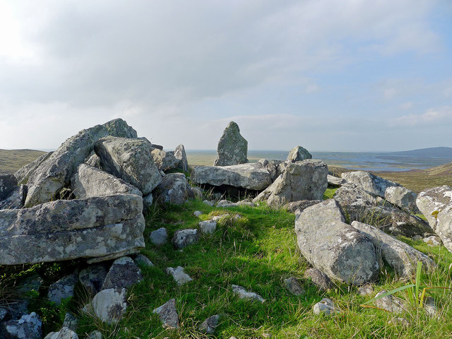
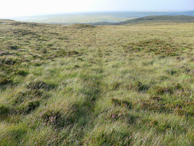
Loch nan Arm Images

Images are sourced within 2km of 57.291792/-7.3508049 or Grid Reference NF7735. Thanks to Geograph Open Source API. All images are credited.

Chambered Cairn below Hatharsal, South Uist A patch of green surrounds the remains of the chambered cairn.  Deer were seen closeby.
Chambered Cairn below Hatharsal, South Uist
A patch of green surrounds the remains of the chambered cairn. Deer were seen closeby.
Lochan on the side of Hatharsal Looking towards the main peaks of South Uist, Hecla, Beinn Chorodail and Beinn Mhor.
Lochan on the side of Hatharsal
Looking towards the main peaks of South Uist, Hecla, Beinn Chorodail and Beinn Mhor.
View from the road to the Howmore Youth Hostel Interlocking stretches of water are seen in this fertile terrain.  Isolated croft houses dot the countryside.
View from the road to the Howmore Youth Hostel
Interlocking stretches of water are seen in this fertile terrain. Isolated croft houses dot the countryside.
Animal track to the ridge Looking back towards Loch Druidibeg and the sea beyond.
Animal track to the ridge
Looking back towards Loch Druidibeg and the sea beyond.
Moorland of South Uist Hecla and Beinn Mhor stand out beyond a vast arena of moorland.
Moorland of South Uist
Hecla and Beinn Mhor stand out beyond a vast arena of moorland.
Red deer on Hatharsal, South Uist Suddenly I was within feet of them.  Apparently neither I nor they had sensed the approach. Hecla looms behind.
Red deer on Hatharsal, South Uist
Suddenly I was within feet of them. Apparently neither I nor they had sensed the approach. Hecla looms behind.
House at Tobha Mòr A smartened-up successor to a black house - with chimneys and higher walls - and possibly a holiday house.
House at Tobha Mòr
A smartened-up successor to a black house - with chimneys and higher walls - and possibly a holiday house.
Rocky grassland at Tobha Mòr The ground is so undulating that it is hardly noticeable that the A856 is passing through the picture.
Rocky grassland at Tobha Mòr
The ground is so undulating that it is hardly noticeable that the A856 is passing through the picture.
Boat, shed and house at Tobha Mòr And also a delivery van body, which seems to be an additional storage option in the islands.
Boat, shed and house at Tobha Mòr
And also a delivery van body, which seems to be an additional storage option in the islands.
South Shore of Roag Evening light on Loch Roag.
(note the latest OS spelling of Roag as Rodhag doesn't seem to have taken root on the island...)
South Shore of Roag
Evening light on Loch Roag. (note the latest OS spelling of Roag as Rodhag doesn't seem to have taken root on the island...)
Roag Burn Or Abhainn Rodhag.
The three peaks of Hecla, Corrodale and Ben More forming the backdrop.
Roag Burn
Or Abhainn Rodhag. The three peaks of Hecla, Corrodale and Ben More forming the backdrop.
Tumbling Burn Small waterfalls on the burn draining Loch Airigh Amhlaidh.
Tumbling Burn
Small waterfalls on the burn draining Loch Airigh Amhlaidh.
Old Milestone by the A685, south of Port-ruadh, South Uist Granite column by the A865, in parish of South Uist (South Uist District), opposite and North of white cottage, on verge, East side of road. Just North of: WI_SULBN12R <a href="https://www.geograph.org.uk/photo/6048956">NF7635 : Old Milestone by the A865, south of Port-ruadh, South Uist</a> 

Inscription once read:-
(12)
(To Lochboisdale Pier)

Surveyed

Milestone Society National ID: WI_SULBN12
Old Milestone by the A685, south of Port-ruadh, South Uist
Granite column by the A865, in parish of South Uist (South Uist District), opposite and North of white cottage, on verge, East side of road. Just North of: WI_SULBN12R NF7635 : Old Milestone by the A865, south of Port-ruadh, South Uist Inscription once read:- (12) (To Lochboisdale Pier) Surveyed Milestone Society National ID: WI_SULBN12
Old Milestone by the A865, south of Port-ruadh, South Uist Granite column by the A865, in parish of South Uist (South Uist District), near field gate, South of white cottage, behind wire fence, West side of road. A short distance south of: WI_SULBN12 <a href="https://www.geograph.org.uk/photo/6045199">NF7635 : Old Milestone by the A685, south of Port-ruadh, South Uist</a> 

Inscription reads:-
12
(To Lochboisdale Pier)

Surveyed

Milestone Society National ID: WI_SULBN12R
Old Milestone by the A865, south of Port-ruadh, South Uist
Granite column by the A865, in parish of South Uist (South Uist District), near field gate, South of white cottage, behind wire fence, West side of road. A short distance south of: WI_SULBN12 NF7635 : Old Milestone by the A685, south of Port-ruadh, South Uist Inscription reads:- 12 (To Lochboisdale Pier) Surveyed Milestone Society National ID: WI_SULBN12R
Old Milestone by the A865, South Uist Granite column by the A865, in parish of South Uist (South Uist District), on long straight between Passing Places, South of bridge over Abhainn Gheatry.

Inscription reads:-
11
(To Lochboisdale Pier)

Surveyed

Milestone Society National ID: WI_SULBN11
Old Milestone by the A865, South Uist
Granite column by the A865, in parish of South Uist (South Uist District), on long straight between Passing Places, South of bridge over Abhainn Gheatry. Inscription reads:- 11 (To Lochboisdale Pier) Surveyed Milestone Society National ID: WI_SULBN11
South Uist decay For every modern house on the Uists there must be a ruined cottage like this one. There's rusty old farm equipment as well.
South Uist decay
For every modern house on the Uists there must be a ruined cottage like this one. There's rusty old farm equipment as well.
A very fine machine Not the first photo of the old Macbraynes Bedford bus in this grid square, but look carefully and you might spot the difference between this photo and the others.
A very fine machine
Not the first photo of the old Macbraynes Bedford bus in this grid square, but look carefully and you might spot the difference between this photo and the others.
Slopes of Beinn Mhor The lower slopes of Beinn Mhor looking across the peat bogs to Thatharsal and the green machair strip beyond.
Slopes of Beinn Mhor
The lower slopes of Beinn Mhor looking across the peat bogs to Thatharsal and the green machair strip beyond.
Show me another place!

Loch nan Arm is located at Grid Ref: NF7735 (Lat: 57.291792, Lng: -7.3508049)

Unitary Authority: Na h-Eileanan an Iar

Police Authority: Highlands and Islands

What 3 Words

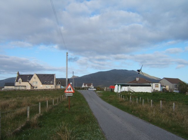
///scars.bookmark.prone. Near Lochboisdale, Na h-Eileanan Siar

Related Wikis

Howmore

Howmore (Scottish Gaelic: Togh Mòr / Tobha Mor) lies on the island of South Uist to the southwest of Loch Druidibeg. The mountain of Haarsal rises to 139...

South Uist Machair and Lochs

The South Uist Machair and Lochs is a protected wetland area on the west coast of South Uist in the Outer Hebrides of Scotland. A total of 5,019 hectares...

Loch Druidibeg

Loch Druidibeag is a freshwater loch situated on the island of South Uist, in the Outer Hebrides of Scotland. The loch is near the northern end of the...

Stoneybridge

Stoneybridge (Scottish Gaelic: Staoinebrig) is a village on the island of South Uist in Scotland. The Crois Chnoca Breaca standing stone is situated to...

Have you been to Loch nan Arm?

Leave your review of Loch nan Arm below (or comments, questions and feedback).