Ball Haye Green

Settlement in Staffordshire Staffordshire Moorlands

England

Ball Haye Green

A53 approaching the valley of Solomon's Hollow
A53 approaching the valley of Solomon's Hollow Credit: David Smith

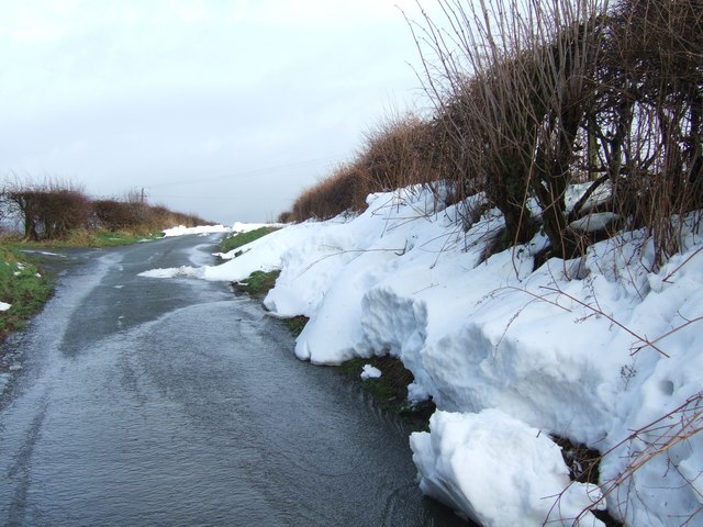
Ball Haye Green is a small village located in Staffordshire, England. Situated in the Staffordshire Moorlands district, it lies approximately 1.5 miles southeast of the town of Leek. The village is surrounded by picturesque countryside and offers a peaceful and idyllic setting.

Ball Haye Green is known for its charming historic architecture, with several 19th-century buildings still standing. The village features a mix of traditional stone cottages and larger, more modern houses, giving it a diverse and unique character.

The village benefits from a range of amenities, including a local primary school, a post office, and a convenience store. There are also a few pubs and restaurants, providing residents with options for dining out and socializing.

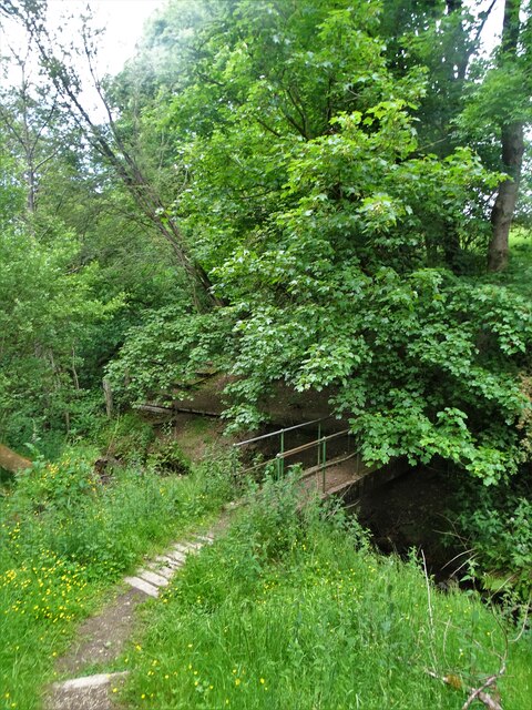
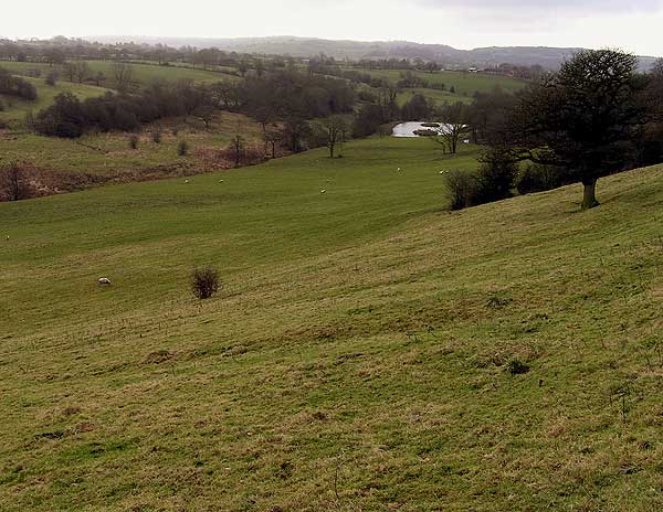
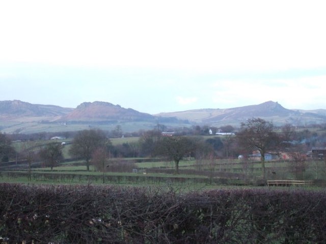
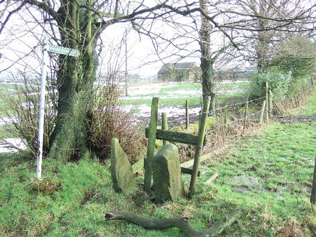
The surrounding countryside offers ample opportunities for outdoor activities such as hiking, cycling, and nature walks. The nearby Peak District National Park is easily accessible from Ball Haye Green, making it a popular destination for nature enthusiasts.

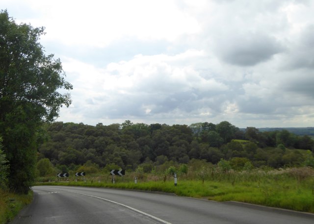
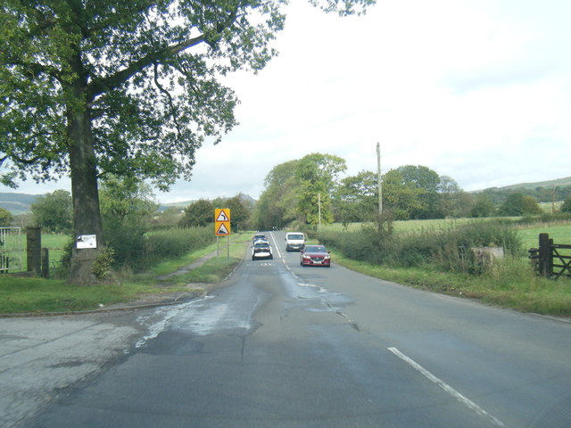
The village is well-connected to other parts of Staffordshire, with good road links to nearby towns and cities. The A53 road runs through the village, providing easy access to Leek and connecting to the wider road network.

Overall, Ball Haye Green is a charming and peaceful village in Staffordshire, offering a mix of historic architecture, beautiful countryside, and a close-knit community. It is an ideal place for those seeking a tranquil and picturesque setting to call home.

If you have any feedback on the listing, please let us know in the comments section below.

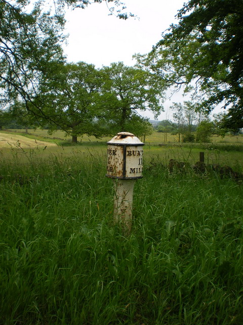
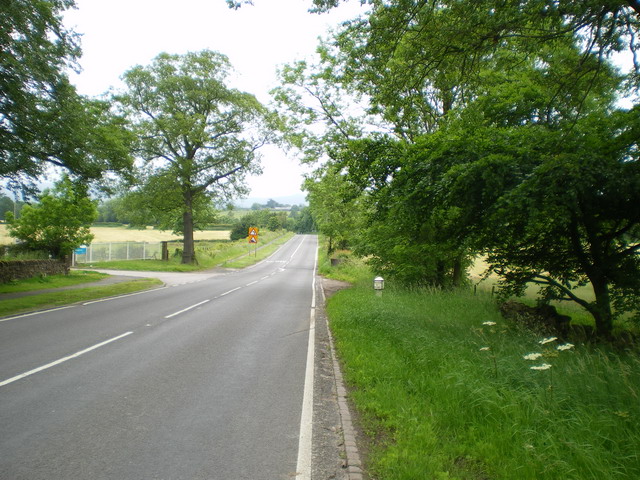
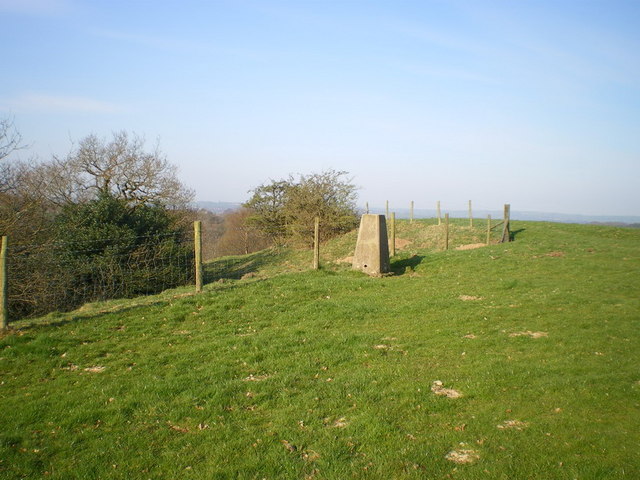
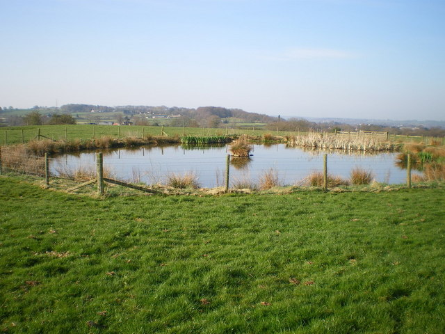
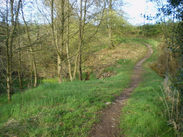
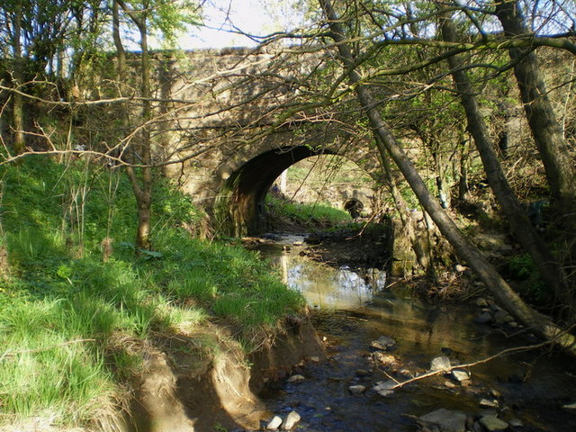
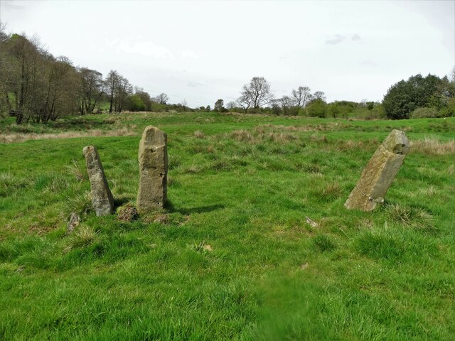
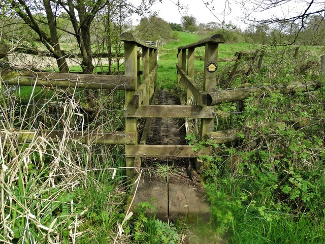
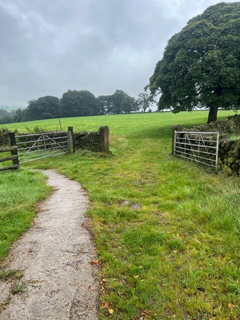
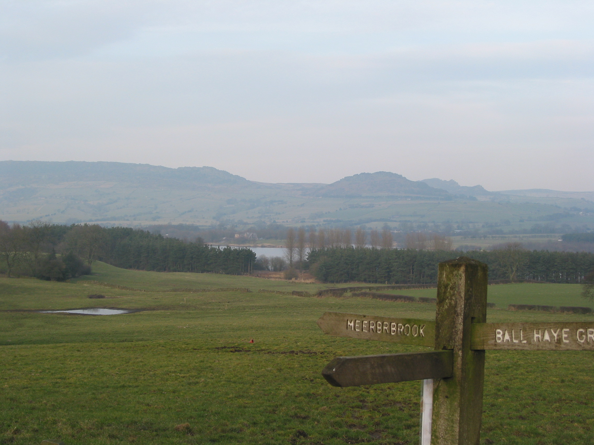
Ball Haye Green Images

Images are sourced within 2km of 53.111968/-2.018641 or Grid Reference SJ9857. Thanks to Geograph Open Source API. All images are credited.

A53 approaching the valley of Solomon's Hollow
Old Milepost by the A53, Buxton Road, Leek Parish The milestone is located north west of Haregate, on the verge in front of drystone wall and hedge, on the south east side of road. Parish of Leek (Staffordshire Moorlands District). Cast iron post, green iron bobbin design, erected by the Leek & Hassop, Middlehills & Buxton turnpike trust in the 19th century. The milestone appears to have been relocated from the farm junction further North.

Inscription reads:- : LEEK / 1 / MILE : : BUXTON / 11 / MILES : : WM GREEN. MACCLESFIELD :

Grade II Listed. List Entry Number: 1268634
<span class="nowrap"><a title="https://historicengland.org.uk/listing/the-list/list-entry/1268634" rel="nofollow ugc noopener" href="https://historicengland.org.uk/listing/the-list/list-entry/1268634">Link</a><img style="margin-left:2px;" alt="External link" title="External link - shift click to open in new window" src="https://s1.geograph.org.uk/img/external.png" width="10" height="10"/></span>

Milestone Society National ID: ST_LKBX01
Old Milepost by the A53, Buxton Road, Leek Parish
The milestone is located north west of Haregate, on the verge in front of drystone wall and hedge, on the south east side of road. Parish of Leek (Staffordshire Moorlands District). Cast iron post, green iron bobbin design, erected by the Leek & Hassop, Middlehills & Buxton turnpike trust in the 19th century. The milestone appears to have been relocated from the farm junction further North. Inscription reads:- : LEEK / 1 / MILE : : BUXTON / 11 / MILES : : WM GREEN. MACCLESFIELD : Grade II Listed. List Entry Number: 1268634 LinkExternal link Milestone Society National ID: ST_LKBX01
A53 Buxton Road leaving Leek
Footbridge in Slack Wood It crosses one of the streams that feeds Tittesworth Reservoir.
Footbridge in Slack Wood
It crosses one of the streams that feeds Tittesworth Reservoir.
Hidden valley Valley of brook running southwards towards the River Churnet
Hidden valley
Valley of brook running southwards towards the River Churnet
Roaches View across the fields towards The Roaches and the Winking Man.  See <a href="https://www.geograph.org.uk/gridref/SK0062">SK0062</a> for closeup of these rocks.
Roaches
View across the fields towards The Roaches and the Winking Man. See SK0062 for closeup of these rocks.
Footpath near Coltsmoor Farm
Snowy Road Yesterday's heavy snow turns into melt water in a fast thaw
Snowy Road
Yesterday's heavy snow turns into melt water in a fast thaw
Edge End milepost detail One of a small number of cast iron mileposts along the Leek to Buxton road, most of which are in much the same parlous state as this one.
Edge End milepost detail
One of a small number of cast iron mileposts along the Leek to Buxton road, most of which are in much the same parlous state as this one.
The Edge End milepost in its setting Beside the A53, and more or less opposite the entrance to the Leek water treatment works.
The Edge End milepost in its setting
Beside the A53, and more or less opposite the entrance to the Leek water treatment works.
Solomon's Hollow trig point Perched right on the edge of the valley of Solomon's Hollow, this sits at a spot height of 237m, which is slightly lower than the nearby spot of 239m.
Solomon's Hollow trig point
Perched right on the edge of the valley of Solomon's Hollow, this sits at a spot height of 237m, which is slightly lower than the nearby spot of 239m.
Benchmark plate on the trig point
A small pool in the field at Upper Tittesworth Farm
Narrow bridge beside the road to Thorncliffe This narrow path, and a bridge over the stream, lie beside the modern lane up from Haregate to Thorncliffe. It's well-used by horseriders, but not much else.
Narrow bridge beside the road to Thorncliffe
This narrow path, and a bridge over the stream, lie beside the modern lane up from Haregate to Thorncliffe. It's well-used by horseriders, but not much else.
Thorncliffe Lane bridge The bridge over the stream on the lane that leads up to Thorncliffe village.
Thorncliffe Lane bridge
The bridge over the stream on the lane that leads up to Thorncliffe village.
Countryside east of Leek Below Holly House
Countryside east of Leek
Below Holly House
Footbridge in the valley West of Hare House
Footbridge in the valley
West of Hare House
Farm gates The track leading to the fields.
Farm gates
The track leading to the fields.
Show me another place!

Ball Haye Green is located at Grid Ref: SJ9857 (Lat: 53.111968, Lng: -2.018641)

Administrative County: Staffordshire

District: Staffordshire Moorlands

Police Authority: Staffordshire

What 3 Words

///marsh.incurs.published. Near Leek, Staffordshire

Related Wikis

Ball Haye Green

Ball Haye Green is an area of Leek in Staffordshire, England. The area was historically an estate in the township of Tittesworth. It was developed as...
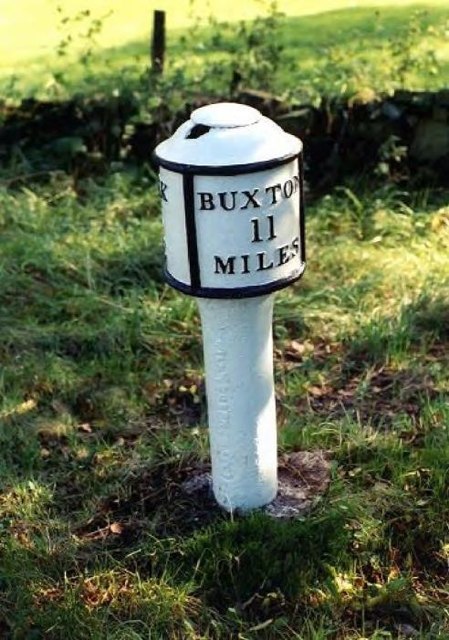
Leek, Staffordshire

Leek is a market town and civil parish in the county of Staffordshire, England, on the River Churnet. It is situated about 10 miles (16 km) north east...

Buxton & Leek College

Buxton & Leek College is a college of Further and Higher Education operating at their campuses and facilities in Buxton, Derbyshire, Leek, Staffordshire...

Nicholson War Memorial

The Nicholson War Memorial in Leek, Staffordshire, England is a 1925 war memorial. It was commissioned by local manufacturer Sir Arthur Nicholson and his...

St Edward the Confessor's Church, Leek

St Edward the Confessor's Church is an active Anglican church in Leek, Staffordshire, England. The building, which dates back to the 13th century, is listed...

Leek High School

Leek High School is a mixed upper school (termed 'high school') located in Leek, Staffordshire, England. As of 2021, the number of students at the school...

The Meadows School, Leek

The Meadows School is a mixed special school co-located with Leek High School in Leek, Staffordshire, England.In 2014 Ofsted said “Students make good...

Staffordshire Moorlands

Staffordshire Moorlands is a local government district in Staffordshire, England. Its council, Staffordshire Moorlands District Council, is based in Leek...

Related Videos

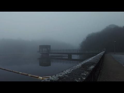
Dense Winter Fog Walk, Tittersworth Reservoir, English Countryside 4K

https://www.buymeacoffee.com/Daveswalks All support is hugely appreciated and it helps me keep the channel going! No talking ...

Gun Trig From Tittesworth Reservoir. A 6.54 Mile Circular Hike In The Peak District National Park.

A 6.54 mile circular hike from Tittesworth Reservoir to Gun Trig Point. It's a beautiful hike but a bit of a bogfest. if you are thinking of ...

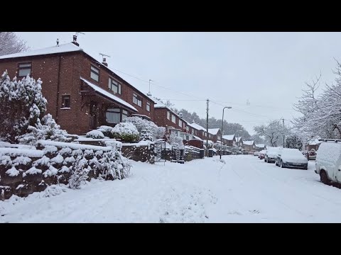
Leek Village Snow Walk, English Countryside 4K

https://www.buymeacoffee.com/Daveswalks All support is hugely appreciated and it helps me keep the channel going! No talking ...

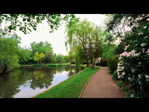
Leek Nature Reserve Walk, English Countryside 4K

https://www.buymeacoffee.com/Daveswalks All support is hugely appreciated and it helps me keep the channel going! No talking ...

Nearby Amenities

Located within 500m of 53.111968,-2.018641
Social Club
Ball Haye Green Working Mens' Club
Lat/Long: 53.1114616/-2.0170949
Pub
The Ball Haye Tavern
Addr Housenumber: 89-91
Addr Postcode: ST13 6BH
Addr Street: Ball Haye Green
Fhrs Id: 1259803
Source Addr: FHRS Open Data
Toilets Wheelchair: no
Wheelchair: no
Lat/Long: 53.1117542/-2.0163348
Fast Food
Ball Haye Green Fish & Chips
Addr Housenumber: 123
Addr Postcode: ST13 6BH
Addr Street: Ball Haye Green
Fhrs Id: 1259840
Source Addr: FHRS Open Data
Lat/Long: 53.11214/-2.0155044
Dentist
Moorlands Dental Practice
Healthcare: dentist
Lat/Long: 53.1123277/-2.0152602
Post Box
Ref: ST13 1307
Lat/Long: 53.1100771/-2.0163545
Prince Street Stores
Shop: convenience
Lat/Long: 53.110039/-2.0163781
The Green Ball Convenience Store
Shop: convenience
Lat/Long: 53.1110407/-2.0174074
Old Phone: +44 1538 388349
Removed Amenity: telephone
Lat/Long: 53.1122761/-2.0146518
Post Box
Ref: ST13 752
Lat/Long: 53.1145929/-2.0126168
Bus Stop
Novi Lane
Bus: yes
Naptan AtcoCode: 3800C800700
Naptan Bearing: SW
Naptan CommonName: Novi Lane
Naptan Indicator: Adj
Naptan Landmark: Novi Ln
Naptan Street: Ball Haye Green
Naptan Verified: no
Public Transport: platform
Source: naptan_import
Lat/Long: 53.1124895/-2.0145811
Bus Stop
Novi Lane
Bus: yes
Naptan AtcoCode: 3800C800701
Naptan Bearing: NE
Naptan CommonName: Novi Lane
Naptan Indicator: Opp
Naptan Landmark: Novi Ln
Naptan Street: Ball Haye Green
Naptan Verified: no
Public Transport: platform
Source: naptan_import
Lat/Long: 53.1126873/-2.0145961
Bus Stop
Argles Road
Bus: yes
Naptan AtcoCode: 3800C821601
Naptan Bearing: S
Naptan CommonName: Argles Road
Naptan Indicator: Adj
Naptan Landmark: Argles Rd
Naptan Street: Haregate Rd
Naptan Verified: no
Public Transport: platform
Source: naptan_import
Lat/Long: 53.1142786/-2.0129084
Bus Stop
Vicarage Road
Bus: yes
Naptan AtcoCode: 3800C821701
Naptan Bearing: N
Naptan CommonName: Vicarage Road
Naptan Indicator: Adj
Naptan Landmark: Vicarage Rd
Naptan Street: Ball Haye Rd
Naptan Verified: no
Public Transport: platform
Source: naptan_import
Lat/Long: 53.1092255/-2.0207496
Bus Stop
Nelson Street
Bus: yes
Naptan AtcoCode: 3800C891401
Naptan Bearing: NE
Naptan CommonName: Nelson Street
Naptan Indicator: Adj
Naptan Landmark: Nelson St
Naptan Street: Ball Haye Green
Naptan Verified: no
Public Transport: platform
Source: naptan_import
Lat/Long: 53.1109249/-2.018166
Bus Stop
Milk Street
Bus: yes
Naptan AtcoCode: 3800C891402
Naptan Bearing: SW
Naptan CommonName: Milk Street
Naptan Indicator: Adj
Naptan Landmark: Milk St
Naptan Street: Ball Haye Green
Naptan Verified: no
Public Transport: platform
Source: naptan_import
Lat/Long: 53.110871/-2.0180166
Source: Bing
Traffic Calming: cushion
Lat/Long: 53.1119692/-2.0128208
Source: Bing
Traffic Calming: cushion
Lat/Long: 53.1121491/-2.0142302
The Green Ball Off Licence
Addr Housenumber: 8-10
Addr Postcode: ST13 6AY
Addr Street: Ball Haye Green
Fhrs Id: 1259549
Shop: alcohol
Source Addr: FHRS Open Data
Lat/Long: 53.1110001/-2.0174268
Traffic Calming: cushion
Lat/Long: 53.1139654/-2.0133079
Traffic Calming: hump
Lat/Long: 53.1128056/-2.0144167
Source: Bing
Traffic Calming: cushion
Lat/Long: 53.1118187/-2.0126857
Traffic Calming: cushion
Lat/Long: 53.1132363/-2.014005
Traffic Calming: cushion
Lat/Long: 53.1144176/-2.0128664
Barrier: height
Lat/Long: 53.1083088/-2.0216218
Barrier: bollard
Lat/Long: 53.1088315/-2.0218254
Source: Bing
Traffic Calming: cushion
Lat/Long: 53.113014/-2.013805
Traffic Calming: cushion
Lat/Long: 53.1081363/-2.0152572
Crossing
Crossing: uncontrolled
Crossing Markings: yes
Lat/Long: 53.1076655/-2.0188617
The data included in this document is from www.openstreetmap.org. The data is made available under ODbL.

Have you been to Ball Haye Green?

Leave your review of Ball Haye Green below (or comments, questions and feedback).