Ball Green
Settlement in Staffordshire
England
Ball Green
Ball Green is a small suburban area located in the county of Staffordshire, England. It is situated approximately 3 miles north of the city center of Stoke-on-Trent and falls within the city's boundaries. The neighborhood is primarily residential, characterized by a mix of detached and semi-detached houses.
The area is known for its peaceful and family-friendly atmosphere, attracting residents looking for a suburban lifestyle while still being close to urban amenities. Ball Green benefits from its proximity to major transportation routes, including the A500 road, providing easy access to surrounding areas and the rest of the country.
There are several local amenities within the immediate vicinity, such as convenience stores, small shops, and a few local pubs. Additionally, nearby retail parks and shopping centers offer a wider range of options for residents. For recreational activities, Ball Green is close to various green spaces and parks, providing opportunities for outdoor leisure and sports.
Education is well-served in the area, with several primary schools located within walking distance. For secondary education, there are reputable schools nearby, ensuring a good range of educational opportunities for families.
Ball Green is a well-connected and desirable place to live, offering a pleasant suburban environment with convenient access to amenities and transportation links. Its location provides residents with the best of both worlds – a peaceful residential setting while being within easy reach of the city center and other urban areas.
If you have any feedback on the listing, please let us know in the comments section below.
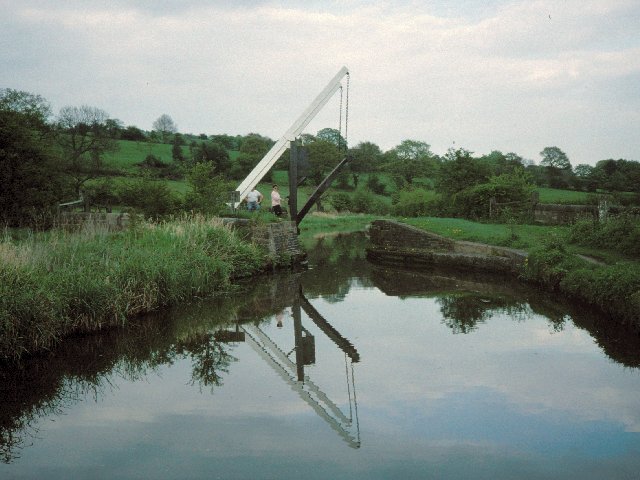
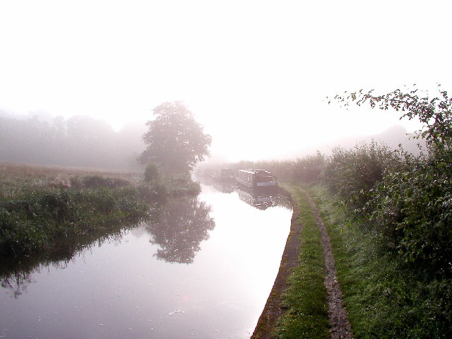
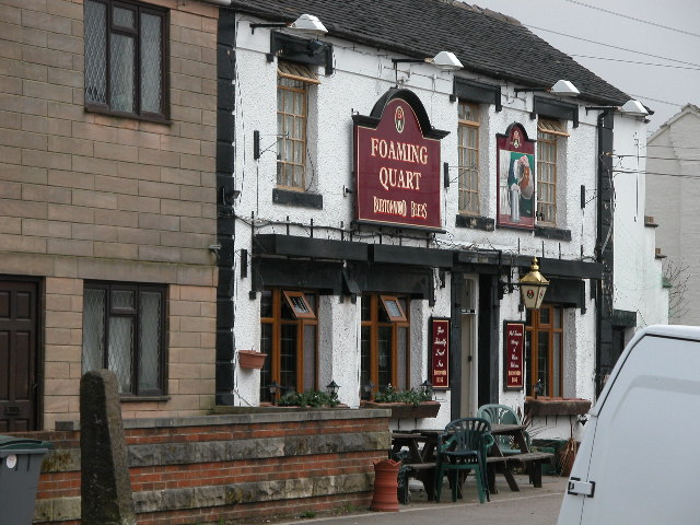
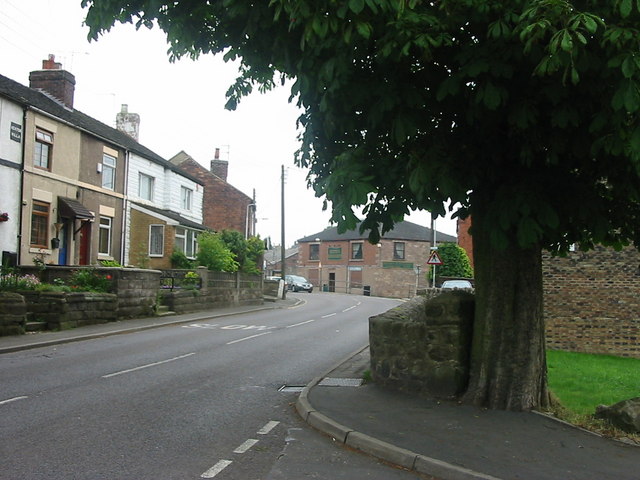
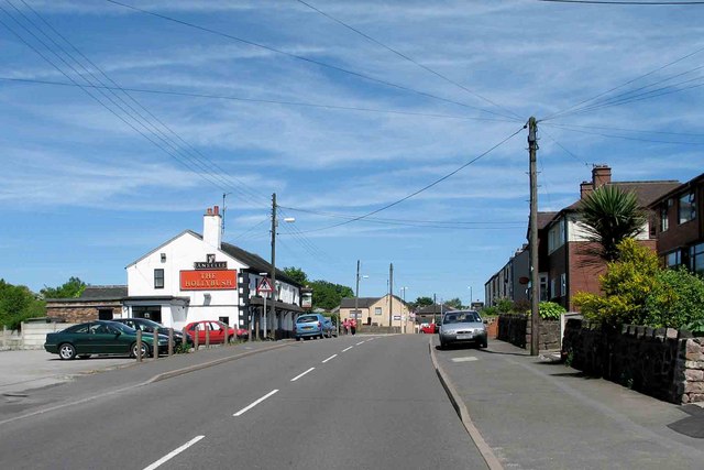
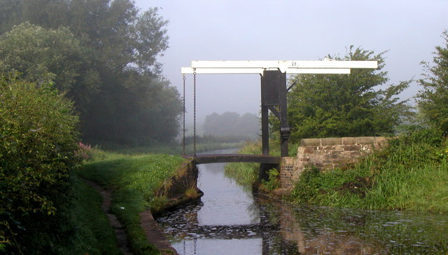
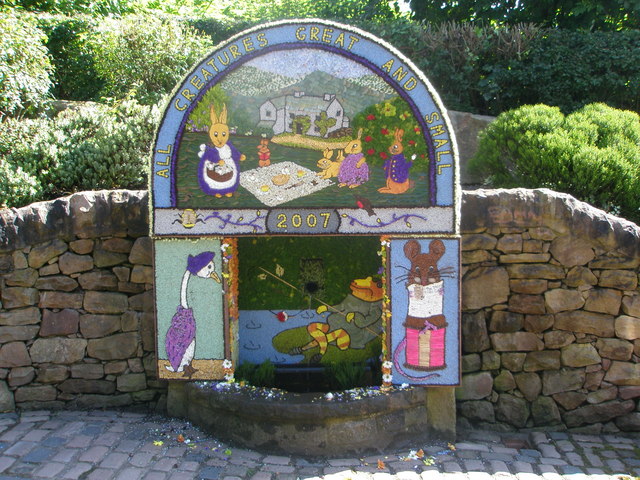
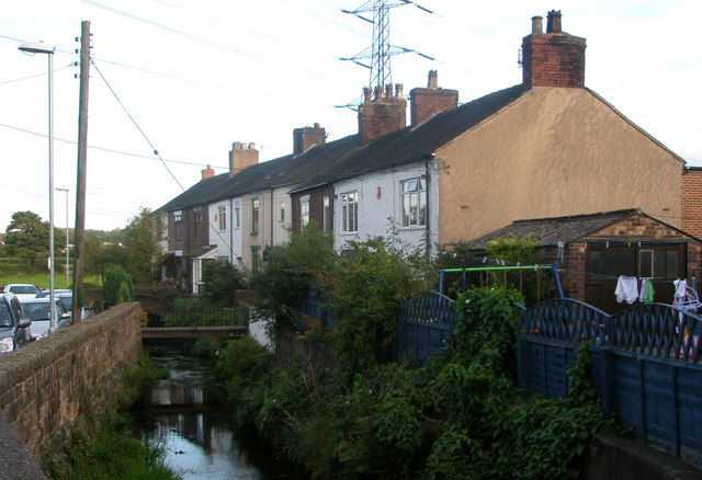
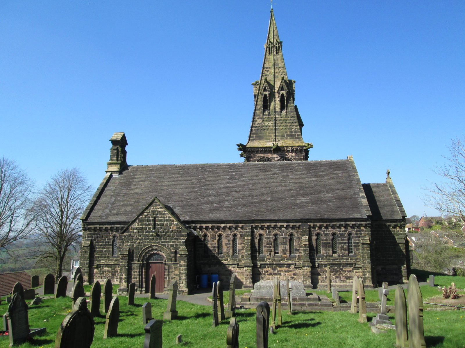
Ball Green Images
Images are sourced within 2km of 53.072485/-2.163105 or Grid Reference SJ8952. Thanks to Geograph Open Source API. All images are credited.

Ball Green is located at Grid Ref: SJ8952 (Lat: 53.072485, Lng: -2.163105)
Unitary Authority: Stoke-on-Trent
Police Authority: Staffordshire
What 3 Words
///demand.soda.teeth. Near Tunstall, Staffordshire
Nearby Locations
Related Wikis

Chatterley Whitfield
Chatterley Whitfield Colliery is a disused coal mine on the outskirts of Chell, Staffordshire in Stoke on Trent, England. It was the largest mine working...

Ridgeway, Staffordshire
Ridgeway is a hamlet on the boundary of Brown Edge and Stoke-on-Trent in Staffordshire, England. == References ==

Whitfield Valley
Whitfield Valley is a local nature reserve on the northern fringe of Stoke-on-Trent, England. == Description == The reserve, of area 91.15 hectares (225...

Norton le Moors
Norton le Moors is in the north-east of the city of Stoke-On-Trent, Staffordshire, England, mostly within the city boundary, with the rest in the Staffordshire...
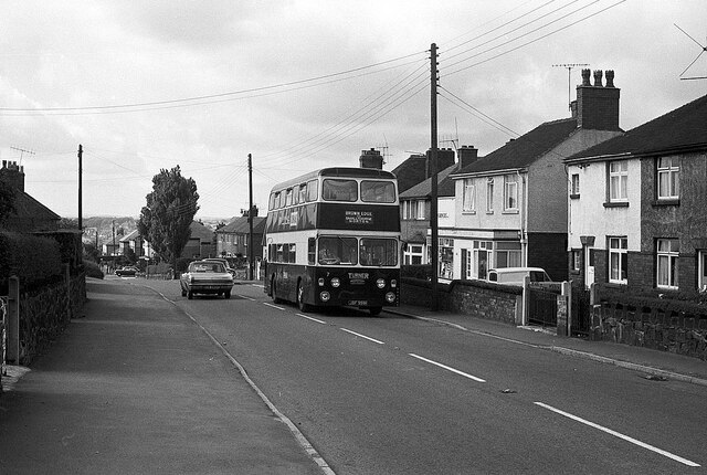
Ball Green
Ball Green is a small village in Stoke-on-Trent. Ball Green is in the suburb of Chell near to Burslem. == References ==
Norton Green, Stoke-on-Trent
Norton Green is a small hamlet in Stoke-on-Trent. Located in the hamlet are two Primitive Methodist Chapels which were built in 1857 and 1871. == References ==

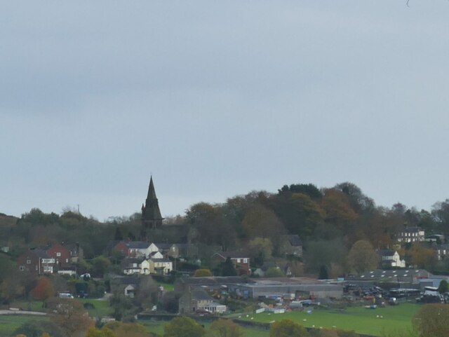
Brown Edge
Brown Edge is a village and civil parish in the Staffordshire Moorlands district of Staffordshire, England. According to the 2001 census it had a population...
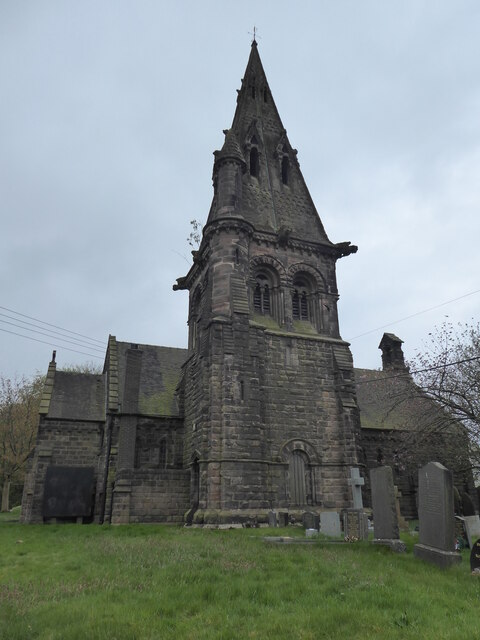
St Anne's Church, Brown Edge
St Anne's Church is an Anglican church in Brown Edge, Staffordshire, England, and in the Diocese of Lichfield. The building is Grade II listed. == History... ==
Related Videos
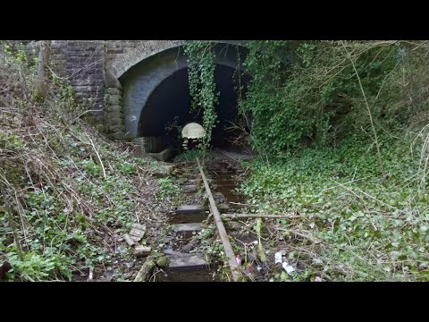
Abandoned Railway Walk, English Countryside 4K
https://www.buymeacoffee.com/Daveswalks All support is hugely appreciated and it helps me keep the channel going! No talking ...

Brindley Ford Tour
A tour of Brindley Ford, a small scenic village you've probably passed without knowing... Manually created subtitles are available ...

Chatterley Whitfield Heritage Park Stoke On Trent Staffordshire
So in todays walk we explore Chatterley Whitfield , This was completely new to me , never been there before so it was good to ...

Chatterley Whitfield Heritage centre Stoke on Trent
Join us for a February, walk around Chatterley Whitfield in Stoke-on-Trent, and stunning scenery @artlist.io @ALcreators #mining ...
Nearby Amenities
Located within 500m of 53.072485,-2.163105Have you been to Ball Green?
Leave your review of Ball Green below (or comments, questions and feedback).