Ball

Settlement in Cornwall

England

Ball

Sustrans milepost by Camel Trail The National Cycle Network is a network of cycle routes. It was created by the charity Sustrans <span class="nowrap"><a title="http://www.sustrans.org.uk/what-we-do/national-cycle-network" rel="nofollow ugc noopener" href="http://www.sustrans.org.uk/what-we-do/national-cycle-network">Link</a><img style="margin-left:2px;" alt="External link" title="External link - shift click to open in new window" src="https://s1.geograph.org.uk/img/external.png" width="10" height="10"/></span>  (Sustainable Transport), aided by a National Lottery grant.

Many routes aim to minimise contact with motor traffic, though 70% of them are on roads. In some cases the NCN uses pedestrian routes, disused railways, minor roads, canal towpaths, or traffic-calmed routes in towns and cities.
Sustrans milepost by Camel Trail Credit: David Smith

Ball is a small village located in the county of Cornwall, England. Situated in the civil parish of St. Keverne, Ball is surrounded by picturesque countryside and lies approximately 10 miles southeast of the town of Helston.

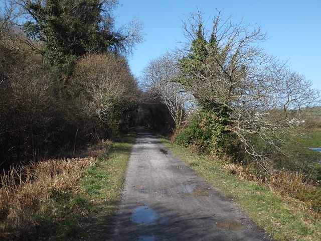
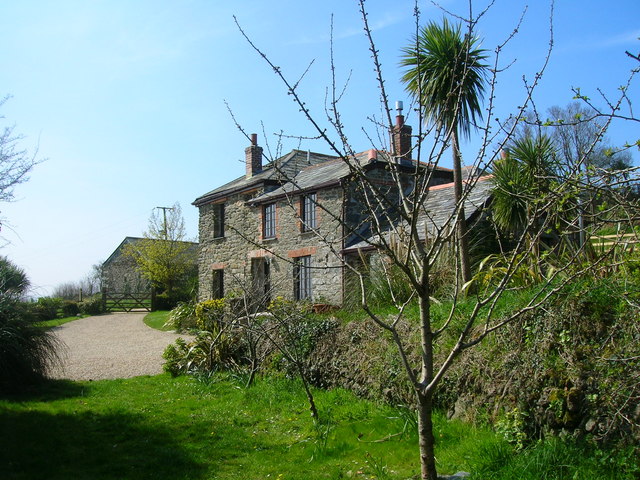
The village is known for its quaint charm and peaceful atmosphere, making it a popular destination for those seeking a tranquil retreat. With its traditional stone cottages and narrow winding lanes, Ball offers visitors a glimpse into Cornwall's rich history and rural beauty.

Although small in size, Ball is home to a close-knit community that takes pride in preserving its heritage. The village features a local pub, providing a gathering place for residents and visitors alike to enjoy a pint and engage in friendly conversation.

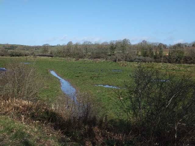
Surrounded by rolling hills and fertile farmland, Ball is an ideal location for nature enthusiasts and outdoor activities. The nearby coastal areas offer stunning views and opportunities for coastal walks, while the surrounding countryside provides ample space for hiking, cycling, and exploring the natural surroundings.

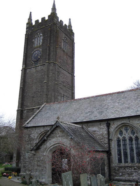
For history enthusiasts, the village is within close proximity to several historic sites and landmarks. The ancient church of St. Keverne, dating back to the 13th century, is a notable attraction, showcasing beautiful architecture and religious artifacts.

Overall, Ball in Cornwall offers a tranquil and idyllic setting for those looking to escape the hustle and bustle of modern life and immerse themselves in the natural beauty and rich history of the region.

If you have any feedback on the listing, please let us know in the comments section below.
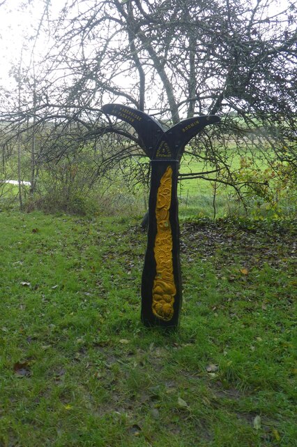
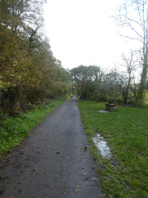
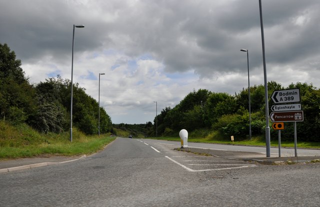
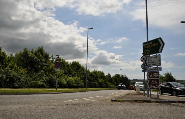
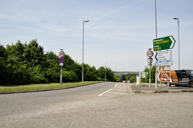
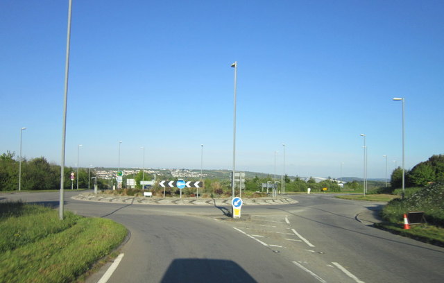
Ball Images

Images are sourced within 2km of 50.522522/-4.8228719 or Grid Reference SX0073. Thanks to Geograph Open Source API. All images are credited.

Sustrans milepost by Camel Trail The National Cycle Network is a network of cycle routes. It was created by the charity Sustrans <span class="nowrap"><a title="http://www.sustrans.org.uk/what-we-do/national-cycle-network" rel="nofollow ugc noopener" href="http://www.sustrans.org.uk/what-we-do/national-cycle-network">Link</a><img style="margin-left:2px;" alt="External link" title="External link - shift click to open in new window" src="https://s1.geograph.org.uk/img/external.png" width="10" height="10"/></span>  (Sustainable Transport), aided by a National Lottery grant.

Many routes aim to minimise contact with motor traffic, though 70% of them are on roads. In some cases the NCN uses pedestrian routes, disused railways, minor roads, canal towpaths, or traffic-calmed routes in towns and cities.
Sustrans milepost by Camel Trail
The National Cycle Network is a network of cycle routes. It was created by the charity Sustrans LinkExternal link (Sustainable Transport), aided by a National Lottery grant. Many routes aim to minimise contact with motor traffic, though 70% of them are on roads. In some cases the NCN uses pedestrian routes, disused railways, minor roads, canal towpaths, or traffic-calmed routes in towns and cities.
Camel Trail south of Wadebridge The National Cycle Network is a network of cycle routes. It was created by the charity Sustrans <span class="nowrap"><a title="http://www.sustrans.org.uk/what-we-do/national-cycle-network" rel="nofollow ugc noopener" href="http://www.sustrans.org.uk/what-we-do/national-cycle-network">Link</a><img style="margin-left:2px;" alt="External link" title="External link - shift click to open in new window" src="https://s1.geograph.org.uk/img/external.png" width="10" height="10"/></span>  (Sustainable Transport), aided by a National Lottery grant.

Many routes aim to minimise contact with motor traffic, though 70% of them are on roads. In some cases the NCN uses pedestrian routes, disused railways, minor roads, canal towpaths, or traffic-calmed routes in towns and cities.
Camel Trail south of Wadebridge
The National Cycle Network is a network of cycle routes. It was created by the charity Sustrans LinkExternal link (Sustainable Transport), aided by a National Lottery grant. Many routes aim to minimise contact with motor traffic, though 70% of them are on roads. In some cases the NCN uses pedestrian routes, disused railways, minor roads, canal towpaths, or traffic-calmed routes in towns and cities.
The Withered Arm - Bridge 140 - Treworder Cattle Creep This view of Bridge 140 on the old North Cornwall Railway, (ex LSWR, and Southern railway), is taken from the track to Treworder farm, for which the bridge was built.
The Withered Arm - Bridge 140 - Treworder Cattle Creep
This view of Bridge 140 on the old North Cornwall Railway, (ex LSWR, and Southern railway), is taken from the track to Treworder farm, for which the bridge was built.
The Withered Arm - The Allen Valley This view is taken just above Sladesbridge in the Allen Valley, where the line descended the valley on the north side, terraced into the steep valley side. The gradient along this stretch was falling at 1:75 towards the Camel Valley.
The Withered Arm - The Allen Valley
This view is taken just above Sladesbridge in the Allen Valley, where the line descended the valley on the north side, terraced into the steep valley side. The gradient along this stretch was falling at 1:75 towards the Camel Valley.
Trelawney's Garden Centre in Sladebridge
Car wash at the garden centre
Wadebridge : The A389 The A389 taken from the roundabout. This road heads towards Bodmin.
Wadebridge : The A389
The A389 taken from the roundabout. This road heads towards Bodmin.
Wadebridge : Gonvena Hill From the roundabout looking down the road known as Gonvena Hill which is also the B3314.
Wadebridge : Gonvena Hill
From the roundabout looking down the road known as Gonvena Hill which is also the B3314.
Wadebridge : Gonvena Hill Looking down Gonvena Hill from a roundabout on the A39.
Wadebridge : Gonvena Hill
Looking down Gonvena Hill from a roundabout on the A39.
Looking across the valley of the River Allen at Sladesbridge The large building in the centre of the photo is the Trelawney Garden Centre <a href="https://www.geograph.org.uk/photo/1288606">SX0071 : Garden centre, Sladesbridge</a>.
Looking across the valley of the River Allen at Sladesbridge
The large building in the centre of the photo is the Trelawney Garden Centre SX0071 : Garden centre, Sladesbridge.
Minor road from Pendavey to Sladesbridge Note the crash barrier along the side of the road, where there is a steep drop into Lane Wood on the side of the River Allen valley.
Minor road from Pendavey to Sladesbridge
Note the crash barrier along the side of the road, where there is a steep drop into Lane Wood on the side of the River Allen valley.
The River Allen at Sladesbridge Looking upstream from the A389 bridge. Note the large growths of the invasive Himalayan Balsam on both banks.
The River Allen at Sladesbridge
Looking upstream from the A389 bridge. Note the large growths of the invasive Himalayan Balsam on both banks.
Commemorative seat beside the A389 at Sladesbridge According to the plaque on the back of this elaborate seat it was erected by Egloshayle Parish Council to commemorate the Silver Jubilee of Her Majesty Queen Elizabeth II 1952-1977.
Commemorative seat beside the A389 at Sladesbridge
According to the plaque on the back of this elaborate seat it was erected by Egloshayle Parish Council to commemorate the Silver Jubilee of Her Majesty Queen Elizabeth II 1952-1977.
Marshy land by the River Camel  The river flows beyond the dike, and under the former railway bridge towards the left of the photo.
Marshy land by the River Camel
The river flows beyond the dike, and under the former railway bridge towards the left of the photo.
Camel Trail in Treraven Woods
Three Holes Cross on A39
St Petrock's church, Egloshayle
The A39 at the A389 and B3314 roundabout
Show me another place!

Ball is located at Grid Ref: SX0073 (Lat: 50.522522, Lng: -4.8228719)

Unitary Authority: Cornwall

Police Authority: Devon and Cornwall

What 3 Words

///polygraph.flame.trendy. Near Wadebridge, Cornwall

Nearby Locations

Ball

Related Wikis

Wadebridge Town F.C.

Wadebridge Town Football Club is a football club based in Wadebridge, Cornwall, England, in the UK. They play in the South West Peninsula League Premier...

Ball, Cornwall

Ball (Cornish: Pelen) is a hamlet on the outskirts of Wadebridge in north Cornwall, England, United Kingdom.The hamlet lies on a loop off the A39 road...

Wadebridge School

Wadebridge School is a coeducational secondary school with academy status, located in the town of Wadebridge, Cornwall, England. It has 1,235 pupils. The...

Bodieve

Bodieve (Cornish: Bosyuv) is a small village in north Cornwall, England, in the United Kingdom. It is about 1 mile north of Wadebridge (where the 2011...

Nearby Amenities

Located within 500m of 50.522522,-4.8228719
Mini Roundabout
Source: Bing
Lat/Long: 50.5216865/-4.8271503
Crossing
Crossing Island: yes
Lat/Long: 50.5226023/-4.8232323
Bus Stop
Wadebridge School
Bus: yes
Naptan AtcoCode: 0800SCH15920
Naptan Bearing: NE
Naptan BusStopType: CUS
Naptan CommonName: Wadebridge Sch Bodieve Rd Ent
Naptan Indicator: corgmdpg
Naptan NaptanCode: cordgwdj
Naptan ShortCommonName: Back Entrance to Wadebridge School
Naptan Street: B3314
Naptan Verified: no
Public Transport: platform
Source: naptan;bing
Lat/Long: 50.5229309/-4.8286313
Bus Stop
Council Offices
Bus: yes
Naptan AtcoCode: 0800FWX38594
Naptan Bearing: NW
Naptan CommonName: Council Offices
Naptan Crossing: Palmers Way
Naptan Indicator: Opp
Naptan NaptanCode: cordgwpm
Naptan Street: Trenant Industrial Estate
Naptan Verified: no
Public Transport: platform
Source: naptan_import
Lat/Long: 50.5214769/-4.8239996
Bus Stop
Council Offices
Bus: yes
Naptan AtcoCode: 0800FWX38597
Naptan Bearing: SE
Naptan CommonName: Council Offices
Naptan Crossing: Palmers Way
Naptan NaptanCode: cordgwpt
Naptan Street: Trenant Industrial Estate
Naptan Verified: no
Public Transport: platform
Source: naptan_import
Lat/Long: 50.5215231/-4.8239459
Bus Stop
Wadebridge Comprehensive School
Bus: yes
Naptan AtcoCode: 0800SCH15921
Naptan Bearing: NE
Naptan BusStopType: CUS
Naptan CommonName: Wadebridge Sch Gonvena Hill Ent
Naptan Indicator: NE-bound
Naptan NaptanCode: corgmdpj
Naptan Street: Gonvena Hill
Naptan Verified: no
Public Transport: platform
Source: naptan;bing
Lat/Long: 50.5213637/-4.8293969
Bus Stop
Council Offices
Bus: yes
Naptan AtcoCode: 0800TRX28448
Naptan Bearing: NE
Naptan CommonName: Council Offices
Naptan Crossing: Palmers Way
Naptan NaptanCode: cordgwtm
Naptan Street: Trenant Industrial Estate
Naptan Verified: no
Public Transport: platform
Source: naptan_import
Lat/Long: 50.521458/-4.823293
Mini Roundabout
Lat/Long: 50.5203231/-4.8275636
Mini Roundabout
Lat/Long: 50.5206118/-4.8267854
Parking
Lat/Long: 50.5229745/-4.8262975
Parking
Lat/Long: 50.5224459/-4.8277137
Power: pole
Lat/Long: 50.5190647/-4.8195339
Power: pole
Lat/Long: 50.5193678/-4.8192072
Power: pole
Lat/Long: 50.5200382/-4.817903
Power: pole
Lat/Long: 50.5207687/-4.8164498
Power: pole
Lat/Long: 50.5233624/-4.8161906
Power: pole
Lat/Long: 50.5231202/-4.817242
Power: pole
Lat/Long: 50.5233351/-4.8172554
Power: pole
Lat/Long: 50.5233129/-4.8185563
Material: wood
Power: pole
Lat/Long: 50.5236096/-4.8196292
Generator Method: photovoltaic
Generator Output Electricity: yes
Generator Source: solar
Generator Type: solar_photovoltaic_panel
Location: roof
Power: generator
Lat/Long: 50.5220203/-4.8235841
Generator Method: photovoltaic
Generator Output Electricity: yes
Generator Source: solar
Generator Type: solar_photovoltaic_panel
Location: roof
Power: generator
Lat/Long: 50.5218063/-4.8231979
Generator Method: photovoltaic
Generator Output Electricity: yes
Generator Source: solar
Generator Type: solar_photovoltaic_panel
Location: roof
Power: generator
Lat/Long: 50.5217023/-4.8229886
Generator Method: photovoltaic
Generator Output Electricity: yes
Generator Source: solar
Generator Type: solar_photovoltaic_panel
Location: roof
Power: generator
Lat/Long: 50.5203593/-4.8215094
Generator Method: photovoltaic
Generator Output Electricity: yes
Generator Source: solar
Generator Type: solar_photovoltaic_panel
Location: roof
Power: generator
Lat/Long: 50.51973/-4.8207504
Generator Method: photovoltaic
Generator Output Electricity: yes
Generator Source: solar
Generator Type: solar_photovoltaic_panel
Location: roof
Power: generator
Lat/Long: 50.520037/-4.8218635
Generator Method: photovoltaic
Generator Output Electricity: yes
Generator Source: solar
Generator Type: solar_photovoltaic_panel
Location: roof
Power: generator
Lat/Long: 50.5199944/-4.8218876
Generator Method: photovoltaic
Generator Output Electricity: yes
Generator Source: solar
Generator Type: solar_photovoltaic_panel
Location: roof
Power: generator
Lat/Long: 50.522919/-4.8297438
Generator Method: photovoltaic
Generator Output Electricity: yes
Generator Source: solar
Generator Type: solar_photovoltaic_panel
Location: roof
Power: generator
Lat/Long: 50.522728/-4.8294166
Generator Method: photovoltaic
Generator Output Electricity: yes
Generator Source: solar
Generator Type: solar_photovoltaic_panel
Location: roof
Power: generator
Lat/Long: 50.5221414/-4.828687
Generator Method: photovoltaic
Generator Output Electricity: yes
Generator Source: solar
Generator Type: solar_photovoltaic_panel
Location: roof
Power: generator
Lat/Long: 50.5187563/-4.8260772
Bus Stop
Gonvena Hill
Bus: yes
Naptan AtcoCode: 0800COA15661
Naptan Bearing: NE
Naptan CommonName: Gonvena Hill
Naptan Indicator: NE-bound
Naptan NaptanCode: corgjmgd
Naptan Street: Gonvena Hill
Naptan Verified: no
Public Transport: platform
Lat/Long: 50.5226044/-4.8235747
Bus Stop
Bus: yes
Naptan AtcoCode: 0800COA15660
Naptan NaptanCode: corgjmga
Public Transport: platform
Lat/Long: 50.5224466/-4.8236471
Man Made: mast
Tower Type: communication
Lat/Long: 50.5235674/-4.8221651
Post Box
Brand: Royal Mail
Brand Wikidata: Q638098
Collection Times: Mo-Fr 17:00; Sa 11:00; Su off
Operator: Royal Mail
Operator Wikidata: Q638098
Post Box Type: pillar
Ref: PL27 145
Royal Cypher: EIIR
Royal Cypher Wikidata: Q33102113
Survey Date: 2022-10-09
Lat/Long: 50.520704/-4.8220348
Power: pole
Lat/Long: 50.52241/-4.8220606
Power: pole
Lat/Long: 50.522763/-4.8196735
Power: pole
Lat/Long: 50.5229514/-4.81839
The data included in this document is from www.openstreetmap.org. The data is made available under ODbL.

Have you been to Ball?

Leave your review of Ball below (or comments, questions and feedback).