Horsecroft Wood

Wood, Forest in Staffordshire Staffordshire Moorlands

England

Horsecroft Wood

A53 approaching the valley of Solomon's Hollow
A53 approaching the valley of Solomon's Hollow Credit: David Smith

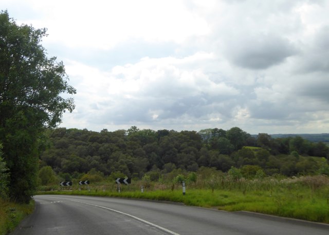
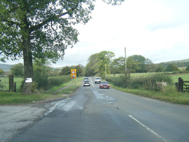
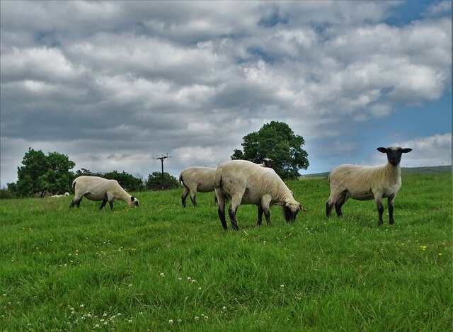
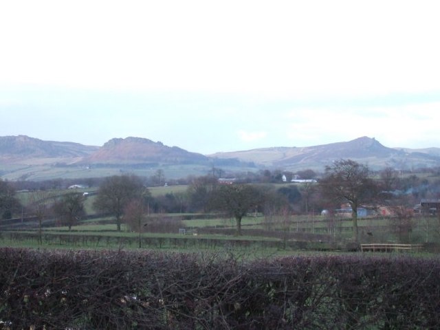
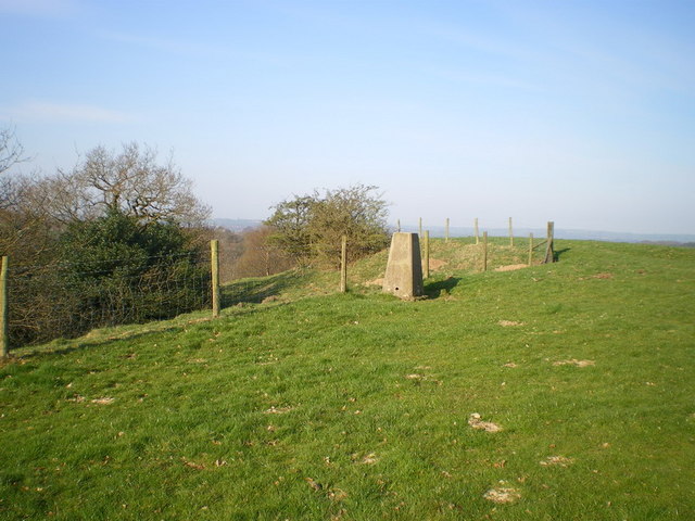
Horsecroft Wood, located in Staffordshire, England, is a picturesque woodland area covering approximately 50 acres. With its stunning natural beauty and diverse range of flora and fauna, it attracts nature enthusiasts, hikers, and photographers alike.

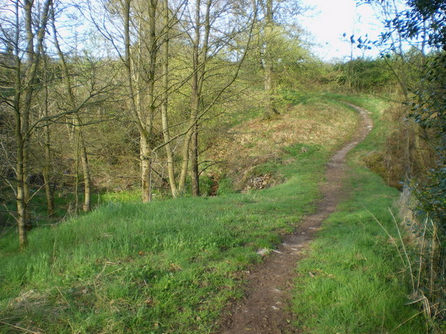
The woodland is characterized by a mix of deciduous and coniferous trees, including oak, beech, birch, and pine. These trees create a dense canopy, providing shade and shelter for a variety of wildlife. Visitors can expect to spot a plethora of bird species, such as woodpeckers, owls, and thrushes, as well as small mammals like squirrels, foxes, and rabbits.

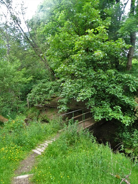
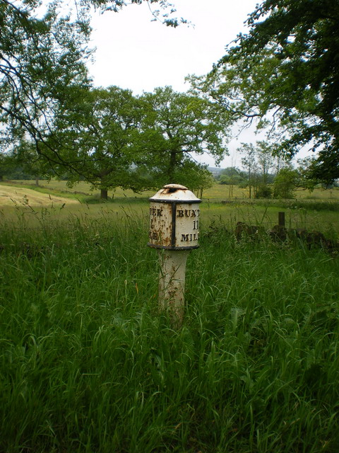
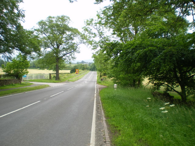
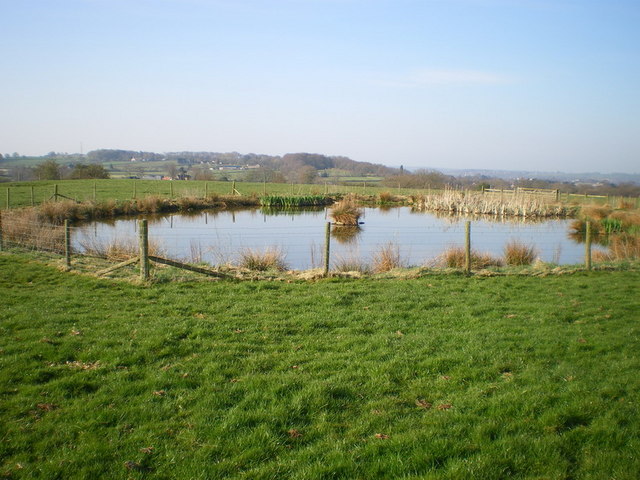
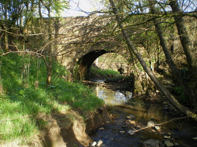
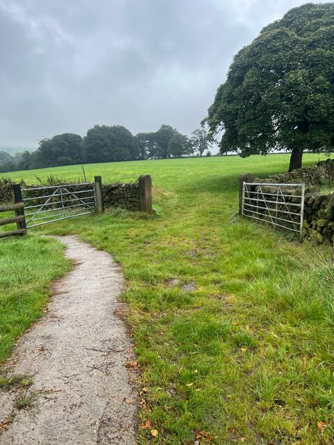
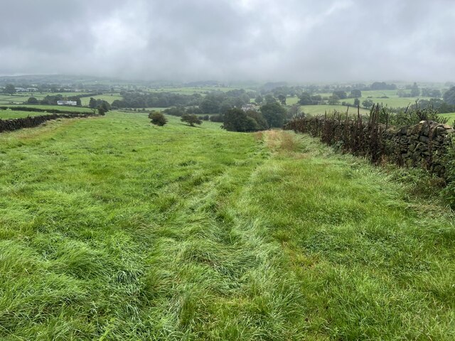
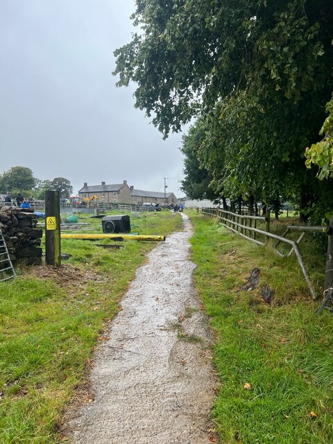
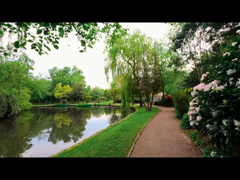
A network of well-maintained footpaths weaves its way through the wood, allowing visitors to explore the area at their own pace. The paths lead to several scenic spots, including a tranquil pond and a small stream, enhancing the natural beauty of the wood. Many visitors enjoy picnicking in designated areas, taking advantage of the serene surroundings.

Horsecroft Wood is also known for its historical significance. It is believed to have been part of a larger ancient woodland that once covered much of the area. The wood has been carefully managed to preserve its natural heritage and protect rare species of plants and wildlife.

Overall, Horsecroft Wood offers a serene and peaceful escape from the hustle and bustle of everyday life. Its natural beauty, combined with its accessibility and historical importance, make it a must-visit destination for nature lovers and history enthusiasts in Staffordshire.

If you have any feedback on the listing, please let us know in the comments section below.

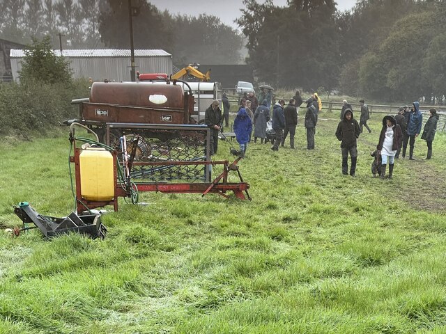
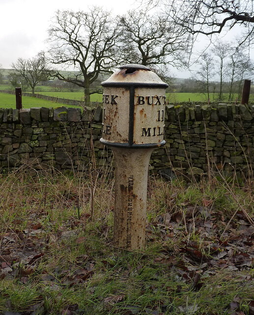
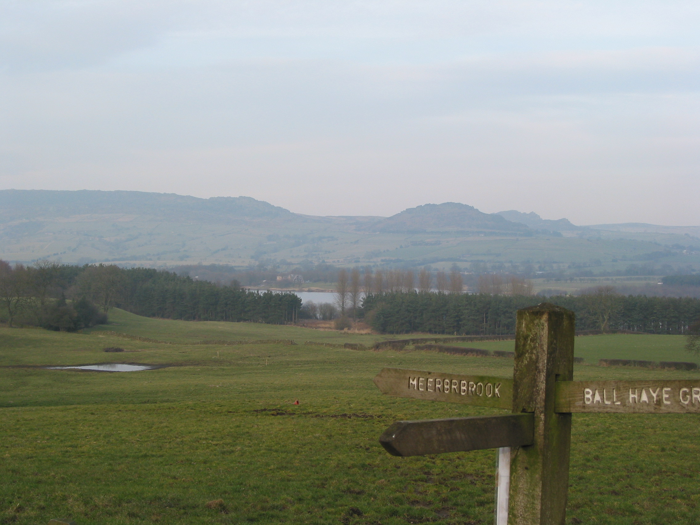
Horsecroft Wood Images

Images are sourced within 2km of 53.11628/-2.022953 or Grid Reference SJ9857. Thanks to Geograph Open Source API. All images are credited.

A53 approaching the valley of Solomon's Hollow
Old Milepost by the A53, Buxton Road, Leek Parish The milestone is located north west of Haregate, on the verge in front of drystone wall and hedge, on the south east side of road. Parish of Leek (Staffordshire Moorlands District). Cast iron post, green iron bobbin design, erected by the Leek & Hassop, Middlehills & Buxton turnpike trust in the 19th century. The milestone appears to have been relocated from the farm junction further North.

Inscription reads:- : LEEK / 1 / MILE : : BUXTON / 11 / MILES : : WM GREEN. MACCLESFIELD :

Grade II Listed. List Entry Number: 1268634
<span class="nowrap"><a title="https://historicengland.org.uk/listing/the-list/list-entry/1268634" rel="nofollow ugc noopener" href="https://historicengland.org.uk/listing/the-list/list-entry/1268634">Link</a><img style="margin-left:2px;" alt="External link" title="External link - shift click to open in new window" src="https://s1.geograph.org.uk/img/external.png" width="10" height="10"/></span>

Milestone Society National ID: ST_LKBX01
Old Milepost by the A53, Buxton Road, Leek Parish
The milestone is located north west of Haregate, on the verge in front of drystone wall and hedge, on the south east side of road. Parish of Leek (Staffordshire Moorlands District). Cast iron post, green iron bobbin design, erected by the Leek & Hassop, Middlehills & Buxton turnpike trust in the 19th century. The milestone appears to have been relocated from the farm junction further North. Inscription reads:- : LEEK / 1 / MILE : : BUXTON / 11 / MILES : : WM GREEN. MACCLESFIELD : Grade II Listed. List Entry Number: 1268634 LinkExternal link Milestone Society National ID: ST_LKBX01
A53 Buxton Road leaving Leek
Footbridge in Slack Wood It crosses one of the streams that feeds Tittesworth Reservoir.
Footbridge in Slack Wood
It crosses one of the streams that feeds Tittesworth Reservoir.
Lambs near Troutsdale Farm
Roaches View across the fields towards The Roaches and the Winking Man.  See <a href="https://www.geograph.org.uk/gridref/SK0062">SK0062</a> for closeup of these rocks.
Roaches
View across the fields towards The Roaches and the Winking Man. See SK0062 for closeup of these rocks.
Edge End milepost detail One of a small number of cast iron mileposts along the Leek to Buxton road, most of which are in much the same parlous state as this one.
Edge End milepost detail
One of a small number of cast iron mileposts along the Leek to Buxton road, most of which are in much the same parlous state as this one.
The Edge End milepost in its setting Beside the A53, and more or less opposite the entrance to the Leek water treatment works.
The Edge End milepost in its setting
Beside the A53, and more or less opposite the entrance to the Leek water treatment works.
Solomon's Hollow trig point Perched right on the edge of the valley of Solomon's Hollow, this sits at a spot height of 237m, which is slightly lower than the nearby spot of 239m.
Solomon's Hollow trig point
Perched right on the edge of the valley of Solomon's Hollow, this sits at a spot height of 237m, which is slightly lower than the nearby spot of 239m.
Benchmark plate on the trig point
A small pool in the field at Upper Tittesworth Farm
Narrow bridge beside the road to Thorncliffe This narrow path, and a bridge over the stream, lie beside the modern lane up from Haregate to Thorncliffe. It's well-used by horseriders, but not much else.
Narrow bridge beside the road to Thorncliffe
This narrow path, and a bridge over the stream, lie beside the modern lane up from Haregate to Thorncliffe. It's well-used by horseriders, but not much else.
Thorncliffe Lane bridge The bridge over the stream on the lane that leads up to Thorncliffe village.
Thorncliffe Lane bridge
The bridge over the stream on the lane that leads up to Thorncliffe village.
Farm gates The track leading to the fields.
Farm gates
The track leading to the fields.
Narrow grass field A narrow field marked on the OS map.
Narrow grass field
A narrow field marked on the OS map.
Farm track The track leading back to Dee Bank farm.
Farm track
The track leading back to Dee Bank farm.
Farm sale A few of the final lots for sale shortly, it is raining quite heavily now so not many viewers to be tempted to buy.
Farm sale
A few of the final lots for sale shortly, it is raining quite heavily now so not many viewers to be tempted to buy.
The Edge End milepost The milepost was erected by the local  Leek & Hassop, Middlehills & Buxton turnpike trust in the 19th century, and possibly (although the old maps don't seem to support this theory) it originally lay 100 yards or so to the north, outside the entrance to Edge End Farm. It was Grade II listed <span class="nowrap"><a title="https://historicengland.org.uk/listing/the-list/list-entry/1268634" rel="nofollow ugc noopener" href="https://historicengland.org.uk/listing/the-list/list-entry/1268634">Link</a><img style="margin-left:2px;" alt="External link" title="External link - shift click to open in new window" src="https://s1.geograph.org.uk/img/external.png" width="10" height="10"/></span> & <span class="nowrap"><a title="https://britishlistedbuildings.co.uk/101268634-milepost-at-ngr-sk-00012-57696-leek" rel="nofollow ugc noopener" href="https://britishlistedbuildings.co.uk/101268634-milepost-at-ngr-sk-00012-57696-leek">Link</a><img style="margin-left:2px;" alt="External link" title="External link - shift click to open in new window" src="https://s1.geograph.org.uk/img/external.png" width="10" height="10"/></span> in 1972.
The Edge End milepost
The milepost was erected by the local Leek & Hassop, Middlehills & Buxton turnpike trust in the 19th century, and possibly (although the old maps don't seem to support this theory) it originally lay 100 yards or so to the north, outside the entrance to Edge End Farm. It was Grade II listed LinkExternal link & LinkExternal link in 1972.
Show me another place!

Horsecroft Wood is located at Grid Ref: SJ9857 (Lat: 53.11628, Lng: -2.022953)

Administrative County: Staffordshire

District: Staffordshire Moorlands

Police Authority: Staffordshire

What 3 Words

///habits.ecologist.ship. Near Leek, Staffordshire

Related Wikis

Dieulacres Abbey

Dieulacres Abbey was a Cistercian monastery established by Ranulf, Earl of Chester at Poulton in Cheshire. It moved to the present site at Abbey Green...

Ball Haye Green

Ball Haye Green is an area of Leek in Staffordshire, England. The area was historically an estate in the township of Tittesworth. It was developed as...

Abbey Green, Staffordshire Moorlands

Abbey Green is a village near Leek in the English county of Staffordshire. The village is close to the site of Dieulacres Abbey. The abbey was founded...

Leek, Staffordshire

Leek is a market town and civil parish in the county of Staffordshire, England, on the River Churnet. It is situated about 10 miles (16 km) north east...

Buxton & Leek College

Buxton & Leek College is a college of Further and Higher Education operating at their campuses and facilities in Buxton, Derbyshire, Leek, Staffordshire...

St Edward the Confessor's Church, Leek

St Edward the Confessor's Church is an active Anglican church in Leek, Staffordshire, England. The building, which dates back to the 13th century, is listed...

Brindley Water Mill

The Brindley Water Mill is a water mill in the town of Leek, Staffordshire, England. The current structure was built on the site of previous corn-grinding...

Staffordshire Moorlands

Staffordshire Moorlands is a local government district in Staffordshire, England. Its council, Staffordshire Moorlands District Council, is based in Leek...

Related Videos

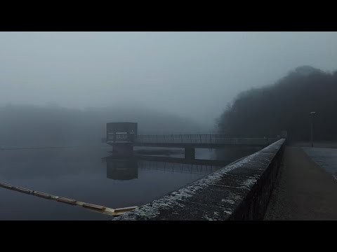
Dense Winter Fog Walk, Tittersworth Reservoir, English Countryside 4K

https://www.buymeacoffee.com/Daveswalks All support is hugely appreciated and it helps me keep the channel going! No talking ...

Gun Trig From Tittesworth Reservoir. A 6.54 Mile Circular Hike In The Peak District National Park.

A 6.54 mile circular hike from Tittesworth Reservoir to Gun Trig Point. It's a beautiful hike but a bit of a bogfest. if you are thinking of ...

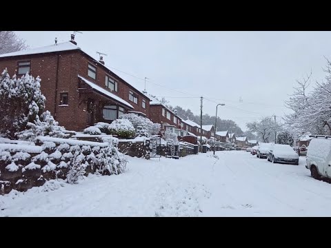
Leek Village Snow Walk, English Countryside 4K

https://www.buymeacoffee.com/Daveswalks All support is hugely appreciated and it helps me keep the channel going! No talking ...

Leek Nature Reserve Walk, English Countryside 4K

https://www.buymeacoffee.com/Daveswalks All support is hugely appreciated and it helps me keep the channel going! No talking ...

Nearby Amenities

Located within 500m of 53.11628,-2.022953
The data included in this document is from www.openstreetmap.org. The data is made available under ODbL.

Have you been to Horsecroft Wood?

Leave your review of Horsecroft Wood below (or comments, questions and feedback).