Calloway Wood

Wood, Forest in Staffordshire Stafford

England

Calloway Wood

Path to Shaw Wood This footpath passes through what remains of Shaw Wood.
Path to Shaw Wood Credit: Michael Patterson

Calloway Wood is a picturesque forest located in Staffordshire, England. Spanning over a vast area, it is a popular destination for nature lovers, hikers, and wildlife enthusiasts. The woodland is characterized by its dense foliage, ancient trees, and diverse flora and fauna.

The forest boasts a rich history, dating back centuries. It is believed to have been originally part of the vast Needwood Forest, which covered a significant portion of Staffordshire. Over time, the wood has been managed to ensure its preservation and accessibility to visitors.

Calloway Wood is home to a wide variety of plant and animal species. The forest floor is adorned with carpets of bluebells, wild garlic, and wood sorrel during springtime. Towering oak, beech, and birch trees dominate the landscape, providing shade and shelter for the wildlife.

The woodland is a haven for numerous bird species, including great spotted woodpeckers, tree creepers, and tawny owls. Visitors may also spot mammals such as deer, foxes, and badgers roaming the forest. The tranquil surroundings make it an ideal spot for birdwatching and wildlife photography.

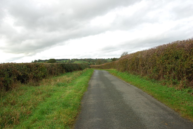
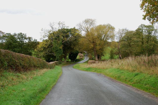
Several walking trails and paths crisscross the wood, offering visitors the opportunity to explore its beauty. The trails cater to different fitness levels, ranging from leisurely strolls to more challenging hikes. Along the way, visitors can enjoy breathtaking views, discover hidden clearings, and encounter unique natural features.

Calloway Wood is not only a natural treasure but also an important habitat for local wildlife. Its peaceful atmosphere and abundant beauty make it a must-visit destination for anyone seeking solace in nature.

If you have any feedback on the listing, please let us know in the comments section below.

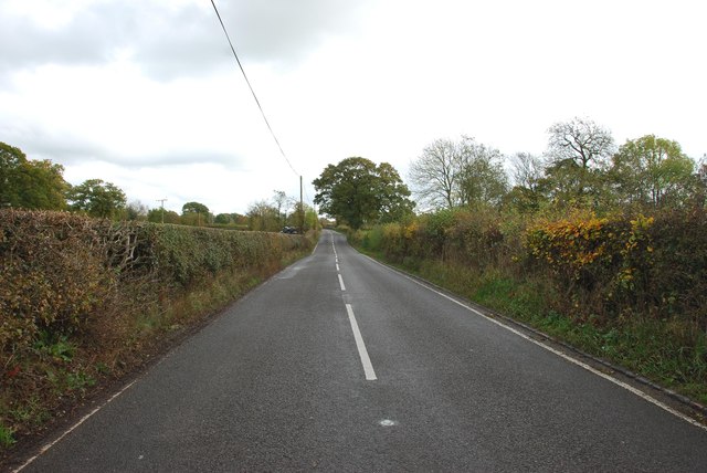
Calloway Wood Images

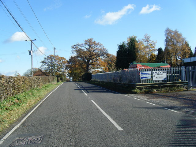
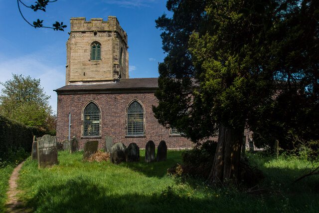
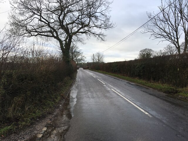
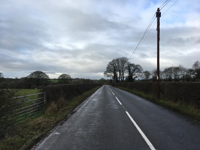
Images are sourced within 2km of 52.89369/-2.0228636 or Grid Reference SJ9832. Thanks to Geograph Open Source API. All images are credited.

Path to Shaw Wood This footpath passes through what remains of Shaw Wood.
Path to Shaw Wood
This footpath passes through what remains of Shaw Wood.
Mud and Mist Under the mud on this lane is a public road.
Mud and Mist
Under the mud on this lane is a public road.
Uttoxeter Road
Uttoxeter Road
All Saint's Church, Milwich The first record of a church on this site is dated about 1140. The tower of the present building dates from the late 15th century, although the remainder of the church was rebuilt in the 1790s after the south walls and roof collapsed. The windows and casements look 15th century recycled.  

1857 water colour of the church 
 >> <span class="nowrap"><a title="https://www.search.staffspasttrack.org.uk/Details.aspx?&ResourceID=27995&PageIndex=4&SearchType=2&ThemeID=147" rel="nofollow ugc noopener" href="https://www.search.staffspasttrack.org.uk/Details.aspx?&ResourceID=27995&PageIndex=4&SearchType=2&ThemeID=147">Link</a><img style="margin-left:2px;" alt="External link" title="External link - shift click to open in new window" src="https://s1.geograph.org.uk/img/external.png" width="10" height="10"/></span>
All Saint's Church, Milwich
The first record of a church on this site is dated about 1140. The tower of the present building dates from the late 15th century, although the remainder of the church was rebuilt in the 1790s after the south walls and roof collapsed. The windows and casements look 15th century recycled. 1857 water colour of the church >> LinkExternal link
B5027 near Fradswell
B5027 near Milwich
B5027 near Milwich
Entering Fradswell on Fradswell Lane
Entrance Drive to Red Barn farm
Fradswell Village Hall This looks like a first or second world war army hut. Many of these huts were used for similar purposes when they were decommissioned after the wars.
Fradswell Village Hall
This looks like a first or second world war army hut. Many of these huts were used for similar purposes when they were decommissioned after the wars.
The Old Rectory Fradswell The old rectory fradswell has now been turned into a home for the elderly.
The Old Rectory Fradswell
The old rectory fradswell has now been turned into a home for the elderly.
Road Junction to Fradswell Church
Impressive Entrance to Fradswell Hall Farm
The Road from Fradswell to Wallbrook road
Wallbrook  Road as it drops down to the Wall Brook Take a look at the hedges in this photo, they have been cut to perfection.
Wallbrook Road as it drops down to the Wall Brook
Take a look at the hedges in this photo, they have been cut to perfection.
Coton Green Farm, Coton The lovely red brick buildings on this farm look as if they have been converted to housing.
Coton Green Farm, Coton
The lovely red brick buildings on this farm look as if they have been converted to housing.
Burnt out remains of The Wheatsheaf at Coton
House on a Road Junction, Coton Hill The main road on the right is the B5027 Uttoxeter Road,the minor road to the left of the house goes to Stone Heath.
House on a Road Junction, Coton Hill
The main road on the right is the B5027 Uttoxeter Road,the minor road to the left of the house goes to Stone Heath.
Looking East along the B5027 Uttoxeter Road
Show me another place!

Calloway Wood is located at Grid Ref: SJ9832 (Lat: 52.89369, Lng: -2.0228636)

Administrative County: Staffordshire

District: Stafford

Police Authority: Staffordshire

What 3 Words

///preparing.reverses.cornfield. Near Stone, Staffordshire

Nearby Locations

Coton Hill Calloway Wood

Related Wikis

Coton Hill, Staffordshire

Coton Hill is a hamlet in the English county of Staffordshire. Coton Hill is located east of the village of Milwich on the B5027 road between Stone and...

Milwich

Milwich is a village and a civil parish in the English county of Staffordshire. == Location == The village is 7.8 miles (12.6 km) north east of the town...

Fradswell

Fradswell is a village in Staffordshire, England, approximately 7 miles (10 km) north-east of the town of Stafford and 7 miles (11 km) north of Colwich...

Leigh railway station (Staffordshire)

Leigh railway station was a railway station in Staffordshire, England. The railway line between Stoke-on-Trent and Uttoxeter was opened by the North Staffordshire...

Nearby Amenities

Located within 500m of 52.89369,-2.0228636
Bus Stop
Crosshill Bank
Bus: yes
Naptan AtcoCode: 3800C726801
Naptan Bearing: NE
Naptan CommonName: Crosshill Bank
Naptan Indicator: Adj
Naptan Landmark: Crosshill Bank
Naptan Street: Uttoxeter Rd
Naptan Verified: no
Public Transport: platform
Source: naptan_import
Lat/Long: 52.8894701/-2.021031
Post Box
Brand: Royal Mail
Brand Wikidata: Q638098
Operator: Royal Mail
Operator Wikidata: Q638098
Post Box Type: lamp
Ref: ST18 228
Royal Cypher: EIIR
Royal Cypher Wikidata: Q33102113
Lat/Long: 52.8896128/-2.0208889
The data included in this document is from www.openstreetmap.org. The data is made available under ODbL.

Have you been to Calloway Wood?

Leave your review of Calloway Wood below (or comments, questions and feedback).