Hartmires
Downs, Moorland in Yorkshire Harrogate
England
Hartmires
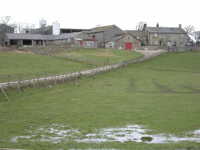
Hartmires is a picturesque village located in the heart of Yorkshire, England. Situated amidst the stunning landscape of the Yorkshire Downs and Moorland, it offers visitors a tranquil and idyllic setting. The village is known for its charming stone cottages, which add to its rustic charm.
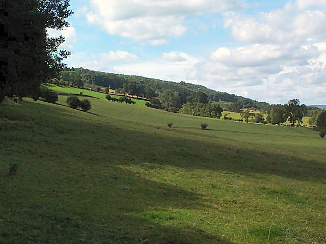
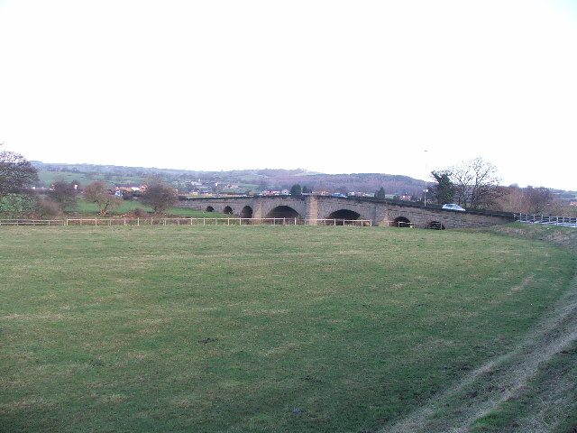
The Yorkshire Downs surrounding Hartmires are characterized by rolling hills and vast stretches of green meadows. This area is a haven for outdoor enthusiasts, as it offers numerous walking and hiking trails that showcase the natural beauty of the region. The moorland, on the other hand, is characterized by its wild and rugged terrain, dotted with heather and bracken.
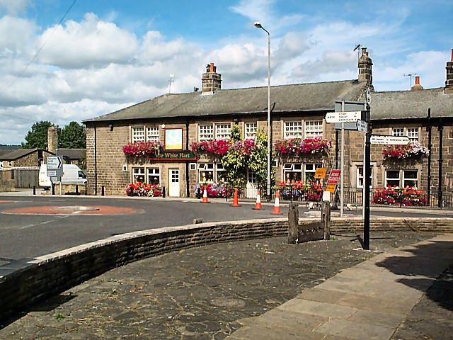
Hartmires itself is a compact village, with a small but close-knit community. The village center features a few local shops, a traditional pub, and a quaint village hall. The residents take great pride in their community and actively engage in various events and activities. The annual village fair, held in the summer, is a highlight for both locals and visitors alike.
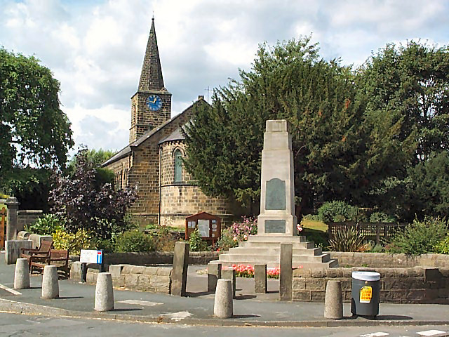
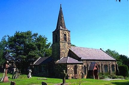
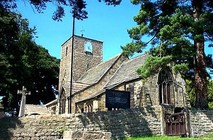
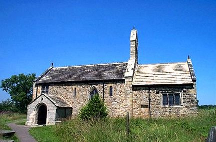
The village also has a rich history, with some buildings dating back centuries. The local church, St. Mary’s, is a notable landmark, with its beautiful stained glass windows and medieval architecture.
Overall, Hartmires offers a serene and unspoiled countryside experience, with its breathtaking natural surroundings and friendly community. It is an ideal destination for those seeking a peaceful retreat or a taste of rural English life.
If you have any feedback on the listing, please let us know in the comments section below.
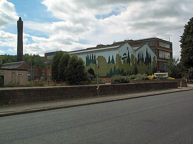
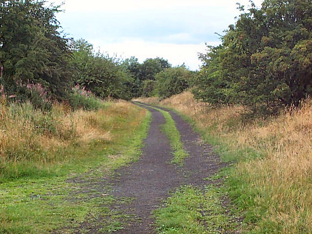
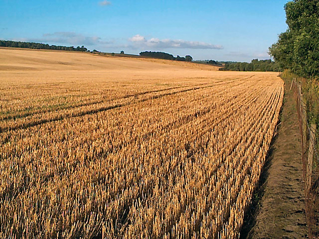
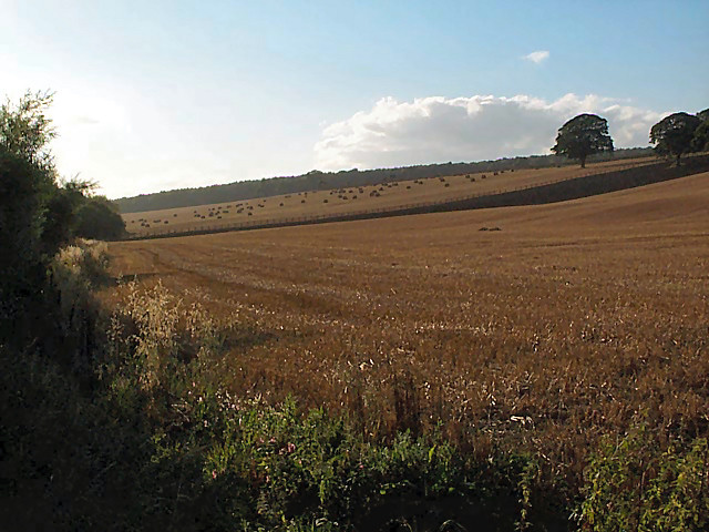
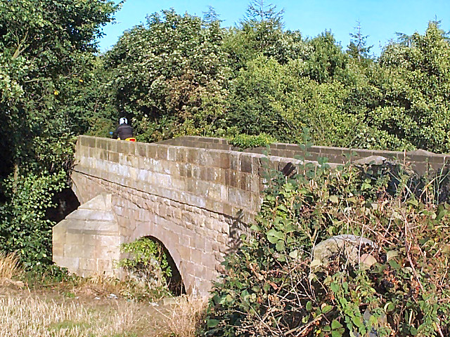
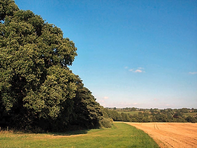
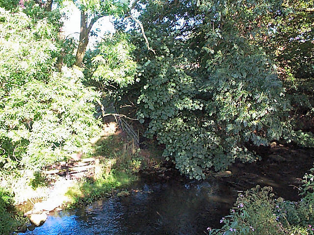
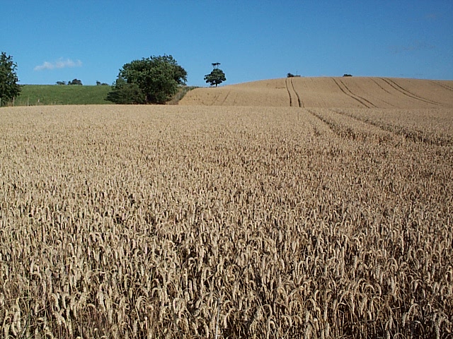
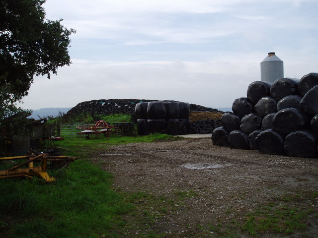
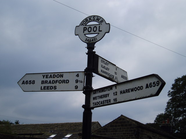
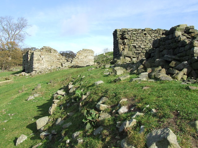
Hartmires Images
Images are sourced within 2km of 53.913685/-1.6424798 or Grid Reference SE2346. Thanks to Geograph Open Source API. All images are credited.
Hartmires is located at Grid Ref: SE2346 (Lat: 53.913685, Lng: -1.6424798)
Division: West Riding
Administrative County: North Yorkshire
District: Harrogate
Police Authority: North Yorkshire
Also known as: Leathley Park
What 3 Words
///perkily.bookings.scouted. Near Pool, West Yorkshire
Nearby Locations
Related Wikis

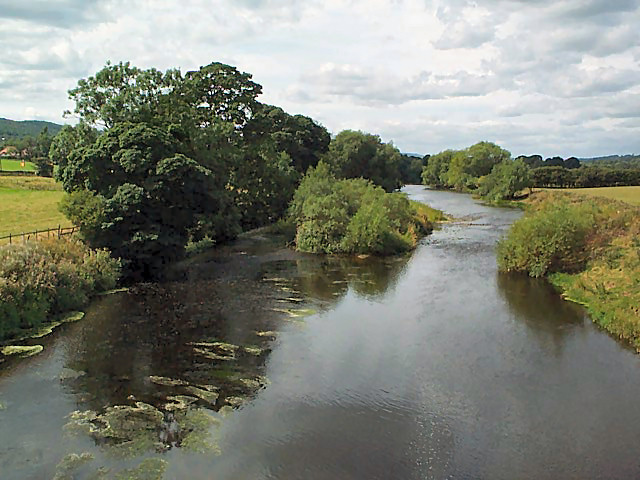
River Washburn
The River Washburn is a river in Yorkshire, England. It originates high in the Yorkshire Dales and ends where it meets the River Wharfe. It lies within...

Leathley
Leathley is a village and civil parish in the Harrogate district of North Yorkshire, England, the parish includes the townships of both Castley and Leathley...
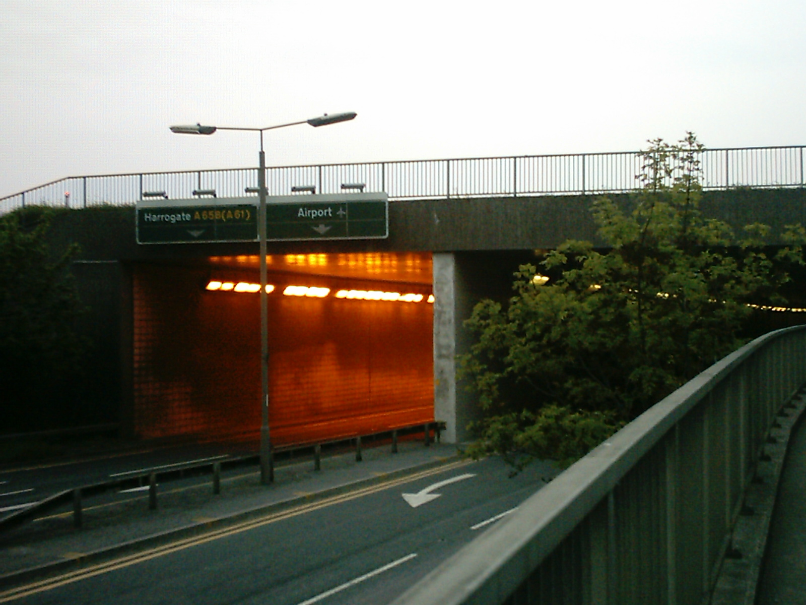
A658 road
The A658 is a road in Yorkshire, UK. == Route == It runs from Bradford, West Yorkshire (53.7949°N 1.7487°W / 53.7949; -1.7487 (A658 road (southwestern...

Pool-in-Wharfedale
Pool-in-Wharfedale or Pool in Wharfedale, usually abbreviated to Pool, is a village and civil parish in Lower Wharfedale, West Yorkshire, England, 10 miles...

Pool-in-Wharfedale railway station
Pool-in-Wharfedale railway station was a railway station serving the village of Pool-in-Wharfedale in West Yorkshire, England. It was opened by the North...

Farnley Hall, North Yorkshire
Farnley Hall is a stately home in Farnley, North Yorkshire, England. It is located near Otley. The original early seventeenth-century house was added to...
Lindley, North Yorkshire
Lindley is a village and civil parish in the Harrogate district of North Yorkshire, England. It is near Lindley Wood Reservoir and 1 mile north of Otley...
Stainburn
Stainburn is a village and civil parish in the Harrogate district of North Yorkshire, England, 10 miles (16 km) north of Leeds. The population of the civil...
Nearby Amenities
Located within 500m of 53.913685,-1.6424798Have you been to Hartmires?
Leave your review of Hartmires below (or comments, questions and feedback).