Leathley Park
Downs, Moorland in Yorkshire Harrogate
England
Leathley Park
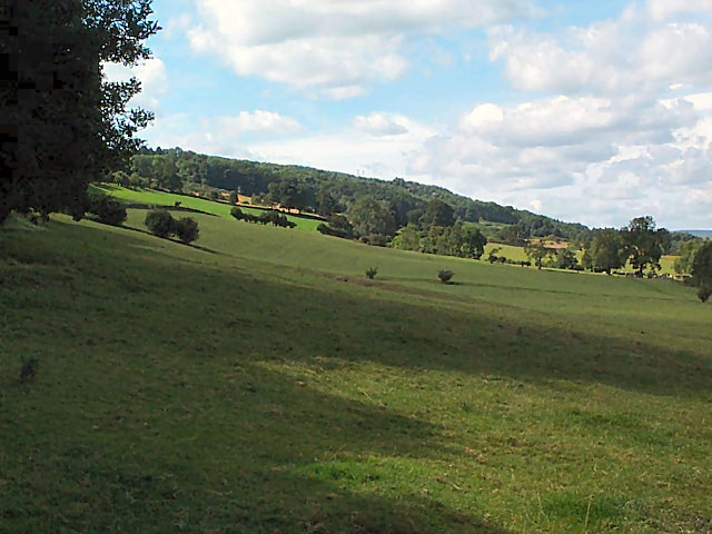
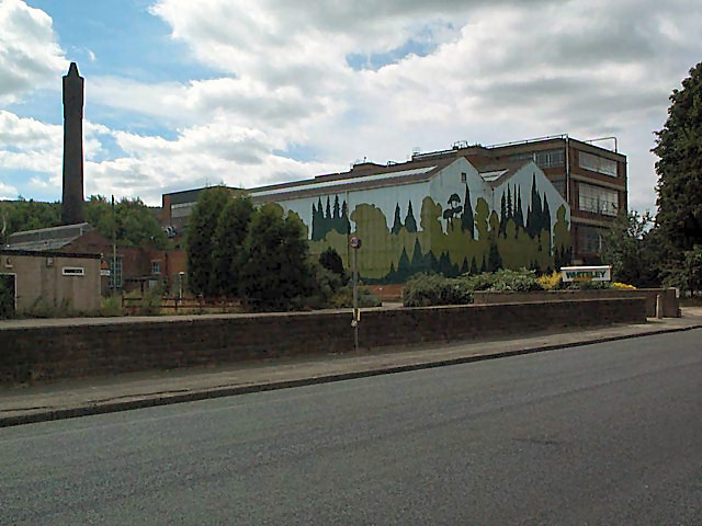
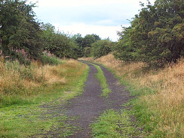
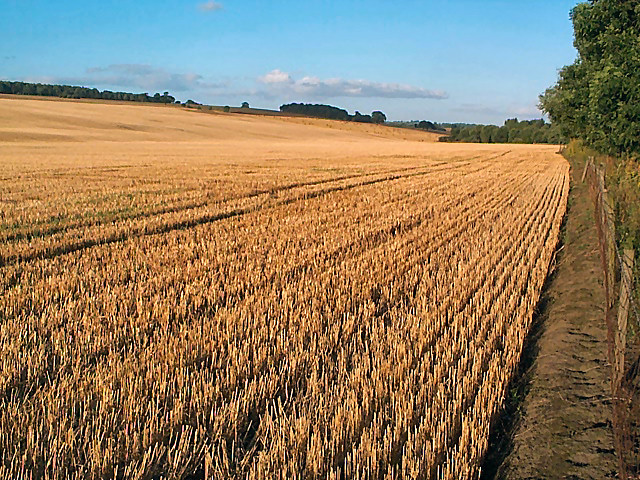
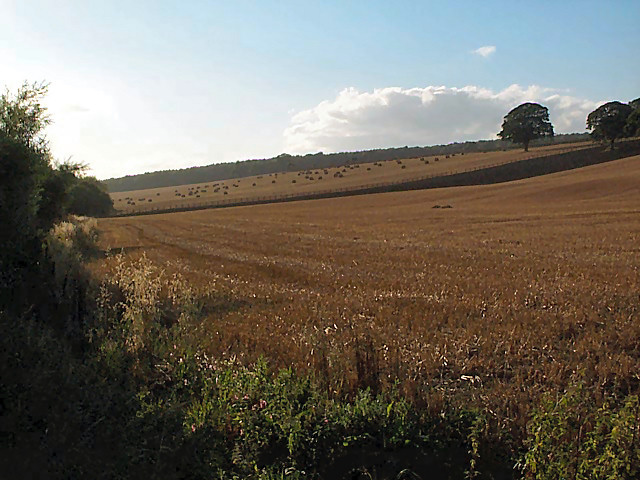
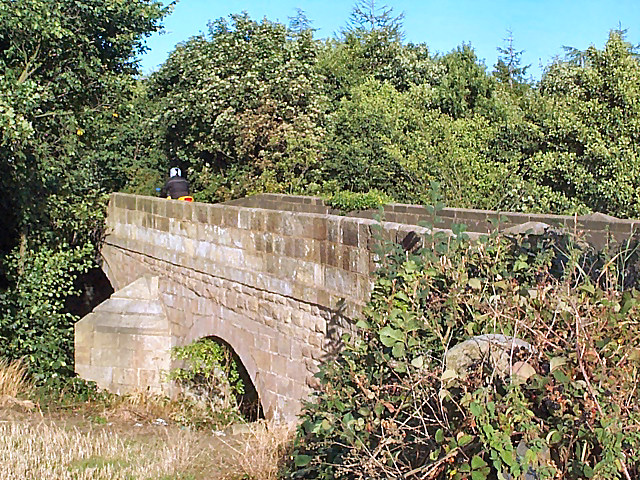
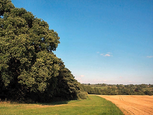
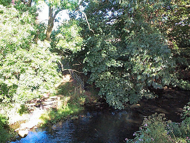
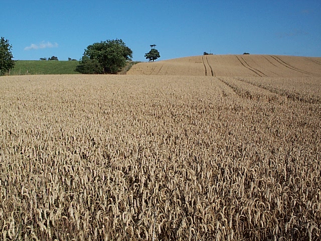
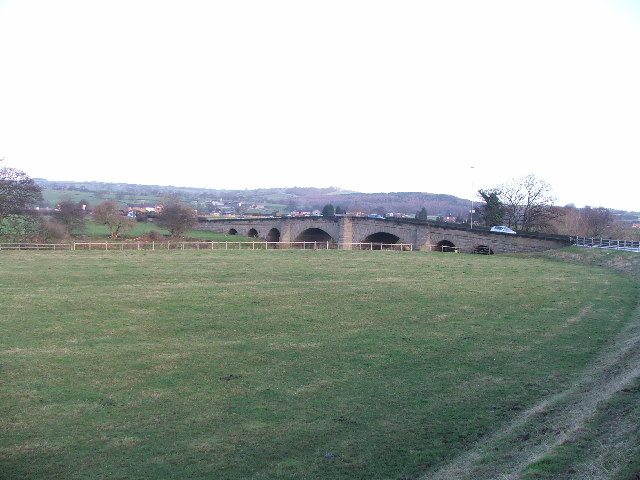
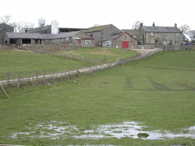
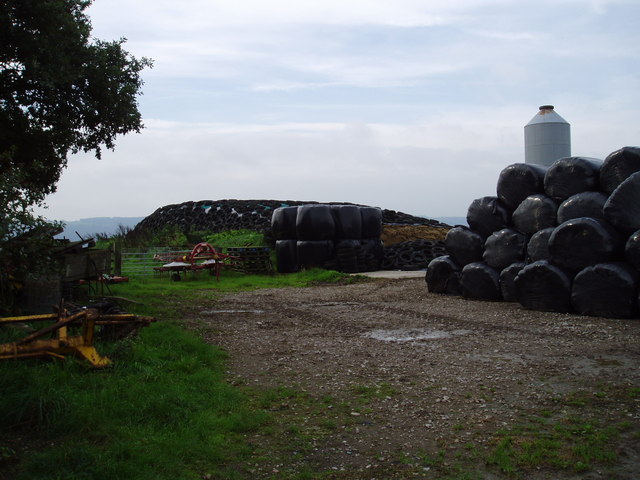
Leathley Park is a picturesque area located in Yorkshire, known for its stunning views of the Downs and Moorland. The park covers a vast expanse of land, offering visitors the opportunity to explore rolling hills, lush greenery, and diverse wildlife.
Visitors to Leathley Park can enjoy a variety of outdoor activities, such as hiking, cycling, and birdwatching. The park is also home to a number of walking trails that lead through the countryside, providing stunning views of the surrounding landscape.
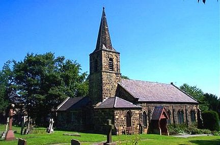
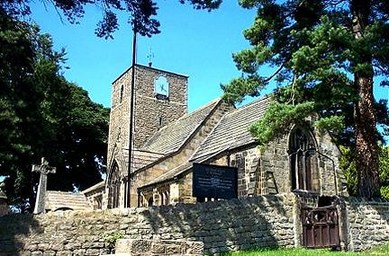
In addition to its natural beauty, Leathley Park is also known for its historical significance. The park is home to a number of ancient ruins and archaeological sites, providing a glimpse into the area's rich past.
Overall, Leathley Park is a tranquil and peaceful destination for nature lovers and outdoor enthusiasts alike. With its stunning landscapes and abundance of wildlife, it is the perfect spot for a relaxing day out in the Yorkshire countryside.
If you have any feedback on the listing, please let us know in the comments section below.
Leathley Park Images
Images are sourced within 2km of 53.913685/-1.6424798 or Grid Reference SE2346. Thanks to Geograph Open Source API. All images are credited.
Leathley Park is located at Grid Ref: SE2346 (Lat: 53.913685, Lng: -1.6424798)
Division: West Riding
Administrative County: North Yorkshire
District: Harrogate
Police Authority: North Yorkshire
Also known as: Hartmires
What 3 Words
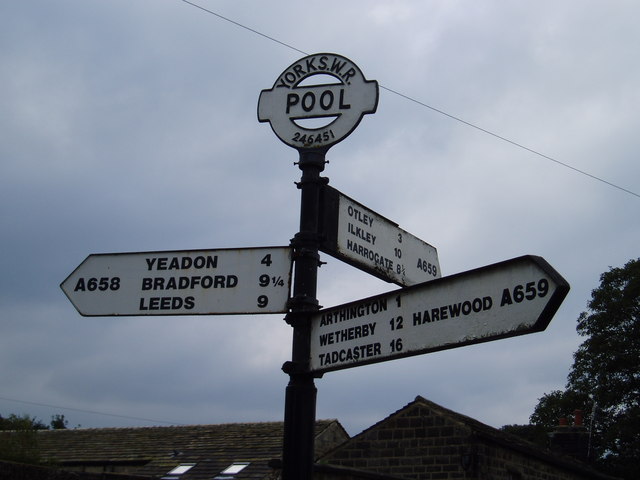
///perkily.bookings.scouted. Near Pool, West Yorkshire
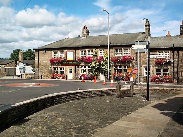
Nearby Locations
Related Wikis

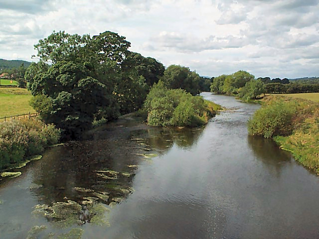
River Washburn
The River Washburn is a river in Yorkshire, England. It originates high in the Yorkshire Dales and ends where it meets the River Wharfe. It lies within...

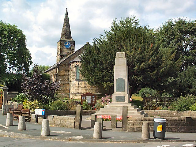
Leathley
Leathley is a village and civil parish in the Harrogate district of North Yorkshire, England, the parish includes the townships of both Castley and Leathley...
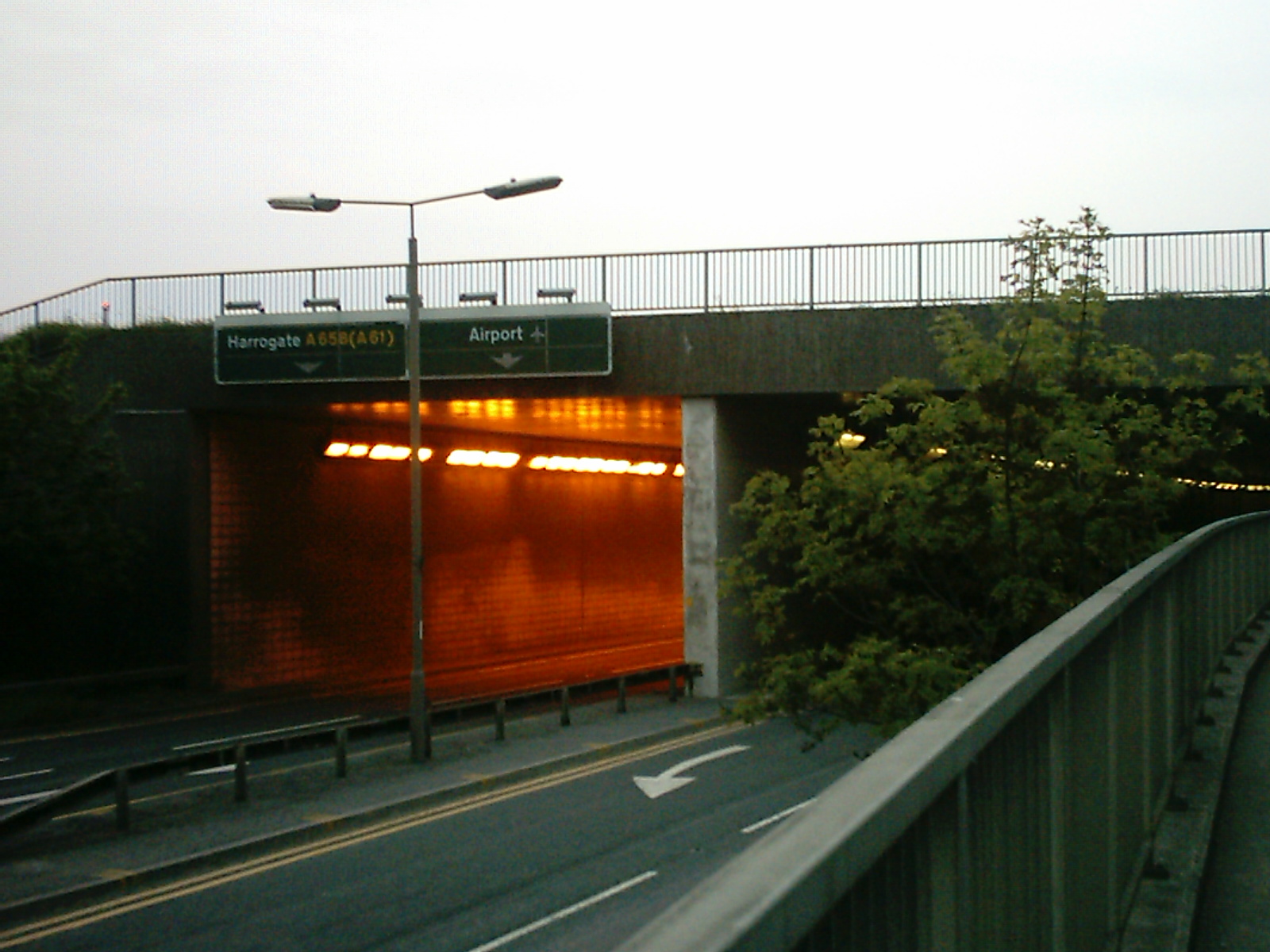
A658 road
The A658 is a road in Yorkshire, UK. == Route == It runs from Bradford, West Yorkshire (53.7949°N 1.7487°W / 53.7949; -1.7487 (A658 road (southwestern...

Pool-in-Wharfedale
Pool-in-Wharfedale or Pool in Wharfedale, usually abbreviated to Pool, is a village and civil parish in Lower Wharfedale, West Yorkshire, England, 10 miles...
Related Videos

Beautiful Otley, Leeds, UK
Otley is a market town and civil parish at a bridging point on the River Wharfe, in the City of Leeds metropolitan borough in West ...


Wharfemeadows Park at Otley
With amazing riverside walks this park is very pretty. The gardens look great all year round and they are well maintained.
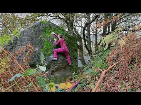
The Unregistered Nurse
Few Clips from this summer at Caley. #bouldering #climbing.
Nearby Amenities
Located within 500m of 53.913685,-1.6424798Have you been to Leathley Park?
Leave your review of Leathley Park below (or comments, questions and feedback).