Ling Common
Downs, Moorland in Yorkshire
England
Ling Common
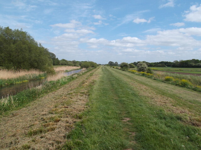
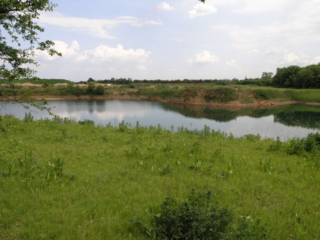
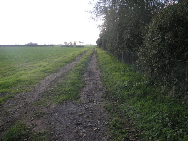
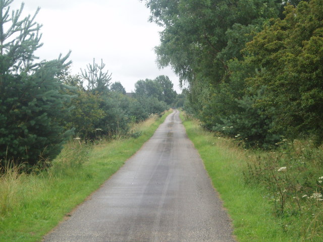
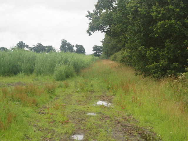
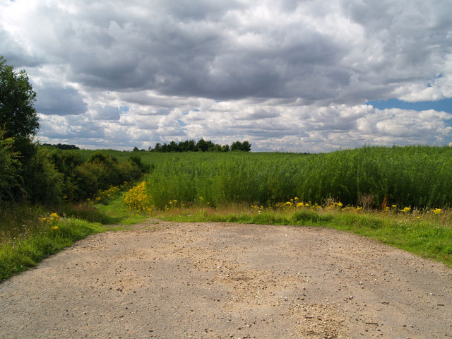
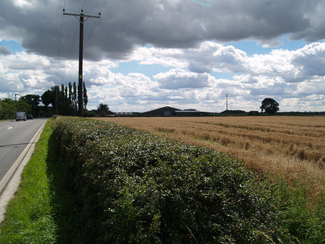
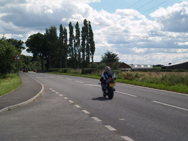
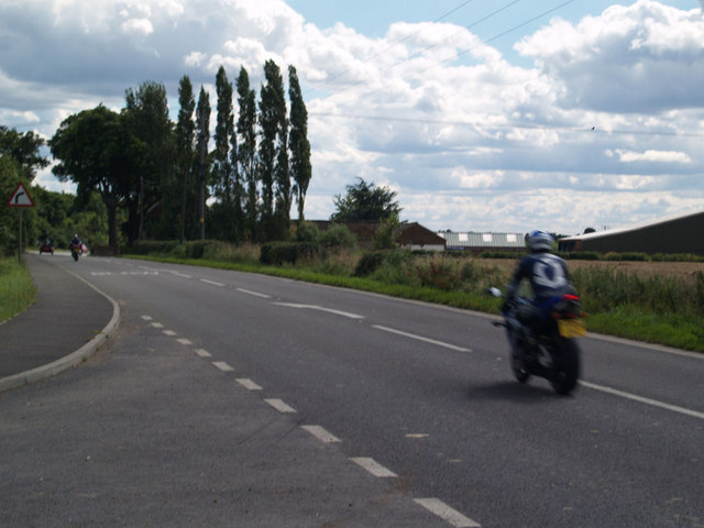
Ling Common is a picturesque region located in the county of Yorkshire, England. It encompasses a vast expanse of rolling hills, downs, and moorland, creating a breathtaking landscape that is cherished by both locals and visitors alike.
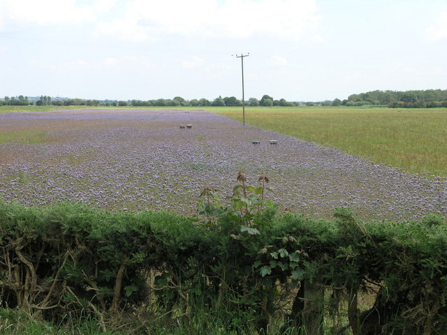
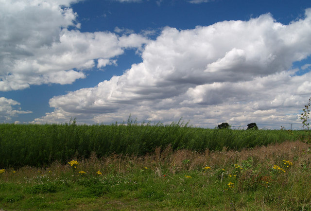
The area is characterized by its abundant ling, a type of heather that blankets the moorland in vibrant shades of purple during the summer months. This heather provides a stunning contrast to the greenery of the downs and creates a unique and captivating visual experience.
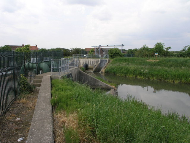
Ling Common is home to a diverse range of wildlife, including various bird species such as grouse and curlews, which thrive in the moorland habitat. The region also boasts an array of flora and fauna, with wildflowers and grasses adding bursts of color to the landscape.
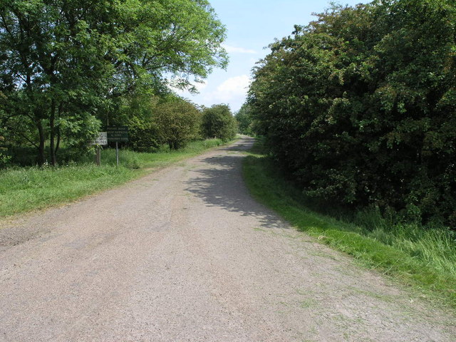
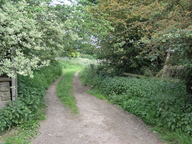
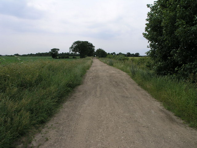
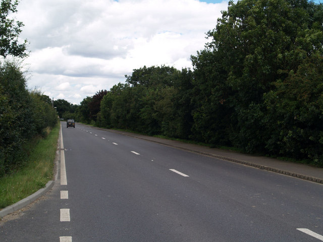
Walking and hiking enthusiasts are drawn to Ling Common due to its extensive network of well-maintained trails that crisscross the area. These trails offer breathtaking views of the surrounding countryside and provide opportunities for exploration and discovery.
Visitors to Ling Common can also immerse themselves in the rich cultural heritage of the region. The nearby villages and towns showcase traditional Yorkshire architecture, with charming stone houses and historic buildings. Local pubs and tea rooms offer a warm welcome to visitors, providing a taste of the region's culinary delights and hospitality.
Overall, Ling Common is a place of natural beauty, tranquility, and cultural significance. It offers a haven for nature lovers, outdoor enthusiasts, and those seeking a peaceful retreat in the heart of Yorkshire.
If you have any feedback on the listing, please let us know in the comments section below.
Ling Common Images
Images are sourced within 2km of 53.505985/-0.96600826 or Grid Reference SE6801. Thanks to Geograph Open Source API. All images are credited.
Ling Common is located at Grid Ref: SE6801 (Lat: 53.505985, Lng: -0.96600826)
Division: West Riding
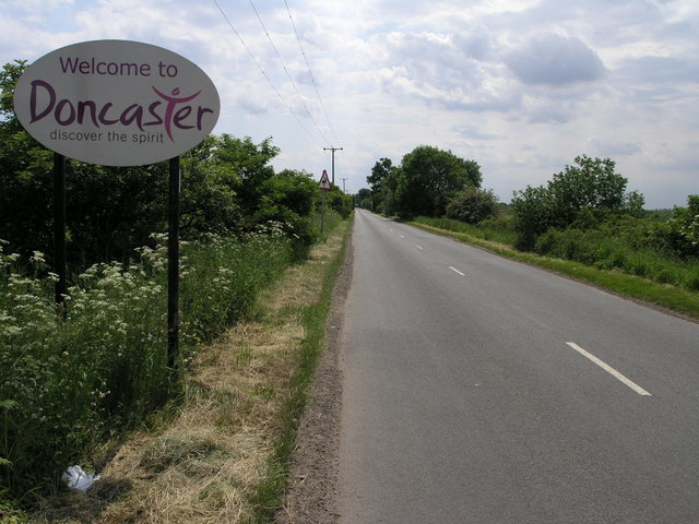
Unitary Authority: Doncaster
Police Authority: South Yorkshire
Also known as: High Common
What 3 Words
///shunning.domain.used. Near Finningley, South Yorkshire
Nearby Locations
Related Wikis

Blaxton
Blaxton is a village in the Metropolitan Borough of Doncaster (part of South Yorkshire, England), on the border with Lincolnshire. It lies to the north...

Finningley railway station
Finningley railway station was a railway station built to serve the villages of Finningley and Blaxton, South Yorkshire, England. == History == The first...

Finningley
Finningley is a village and civil parish in the City of Doncaster, South Yorkshire, England. Historically in Nottinghamshire, it lies on the A614 road...

Wroot
Wroot (pronounced ROOT) is a linear village and civil parish in North Lincolnshire, England, south of the River Torne on the Isle of Axholme, close to...

Auckley
Auckley is a village and civil parish in the City of Doncaster in South Yorkshire, England, about five miles east of Doncaster city centre. According...

HM Prison Lindholme
HM Prison Lindholme is a Category C/D men's prison located near Hatfield Woodhouse in the Metropolitan Borough of Doncaster, South Yorkshire, England...
Hill House School, South Yorkshire
Hill House School is a co-educational independent school for pupils from the ages of 3 to 18 in South Yorkshire, England. In 2012, Hill House was named...

The Hayfield School
The Hayfield School is a secondary school in Auckley, Doncaster, in the county of South Yorkshire, England. As of 2010, it teaches around 1100 pupils...
Nearby Amenities
Located within 500m of 53.505985,-0.96600826Have you been to Ling Common?
Leave your review of Ling Common below (or comments, questions and feedback).