Glendhu Forest
Downs, Moorland in Sutherland
Scotland
Glendhu Forest
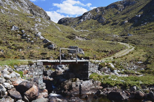
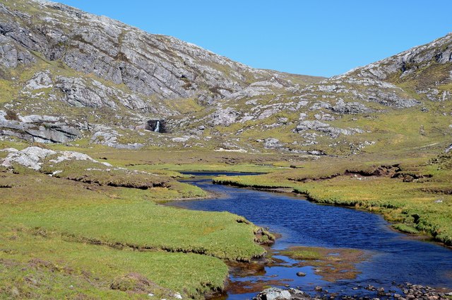
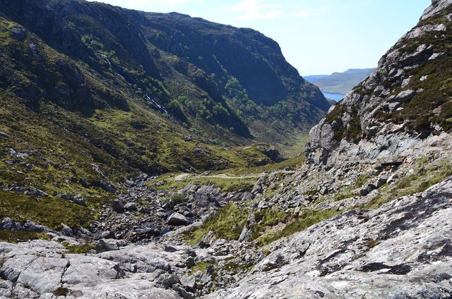
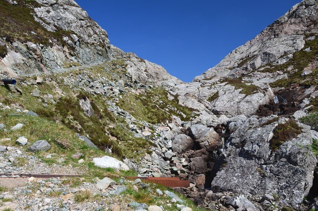
Glendhu Forest is a picturesque woodland located in Sutherland, a county in the northern Highlands of Scotland. Nestled amidst the scenic landscape, this forest is known for its diverse flora and fauna, making it a popular destination for nature enthusiasts and hikers.
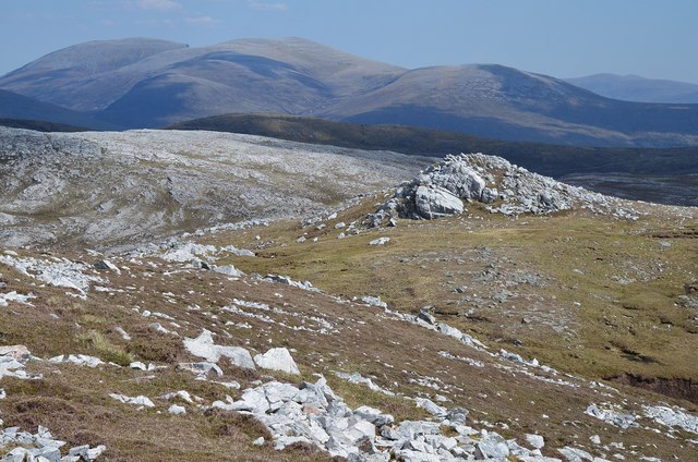
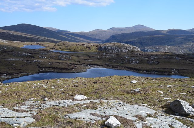
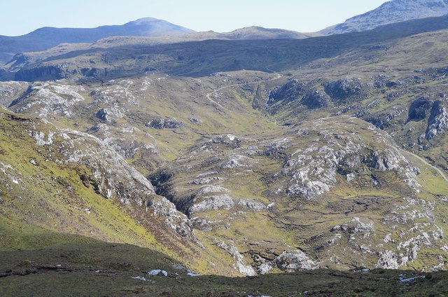
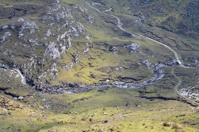
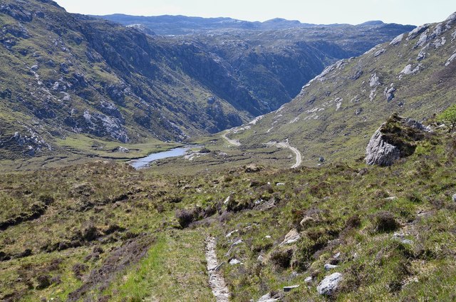
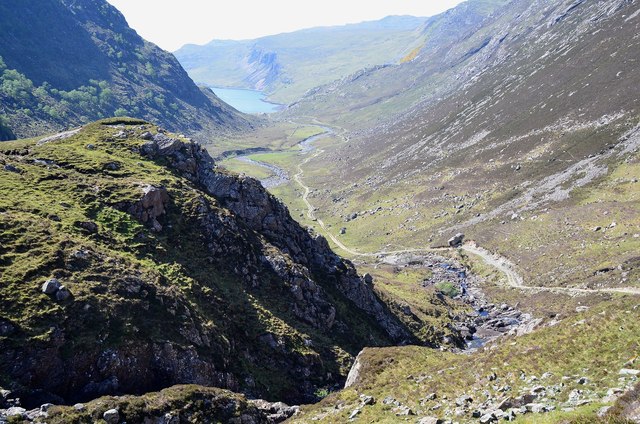
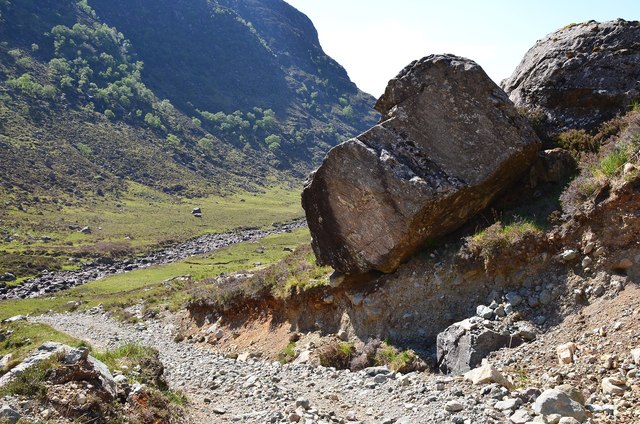
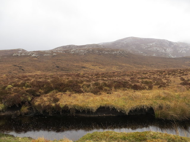
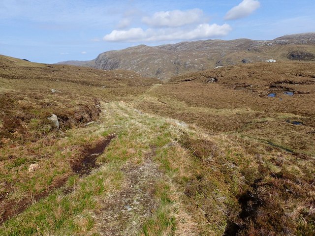
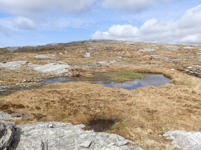
Covering an area of approximately 10,000 hectares, Glendhu Forest offers a variety of terrain, including downs, moorland, and woodland. The forest is predominantly composed of native Scots pine trees, interspersed with birch, rowan, and juniper. These trees provide a habitat for a range of wildlife, including red deer, roe deer, and various bird species such as the golden eagle and the black grouse.
The forest offers several walking trails of varying difficulty levels, allowing visitors to explore its natural beauty at their own pace. One of the notable trails is the Glendhu Forest Trail, which provides stunning views of the surrounding hills and lochs. The forest also boasts a network of mountain bike trails, attracting cycling enthusiasts from all over.
Glendhu Forest is not only a recreational area but also plays a significant role in the local economy. The forest is managed sustainably, with timber production being one of its main activities. Additionally, the forest is a valuable carbon sink, contributing to the fight against climate change.
In conclusion, Glendhu Forest in Sutherland offers a captivating blend of natural beauty, diverse wildlife, and recreational activities. Whether you are interested in hiking, cycling, or simply immersing yourself in the tranquility of nature, this forest provides an enchanting experience for visitors of all ages.
If you have any feedback on the listing, please let us know in the comments section below.
Glendhu Forest Images
Images are sourced within 2km of 58.2605/-4.8905673 or Grid Reference NC3033. Thanks to Geograph Open Source API. All images are credited.
Glendhu Forest is located at Grid Ref: NC3033 (Lat: 58.2605, Lng: -4.8905673)
Unitary Authority: Highland
Police Authority: Highlands and Islands
Also known as: Gleann Dubh Forest
What 3 Words
///townhouse.occupations.firelight. Near Inchnadamph, Highland
Nearby Locations
Related Wikis

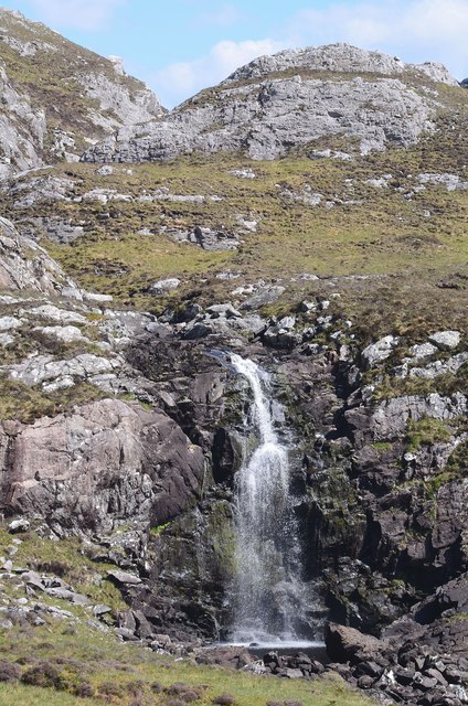
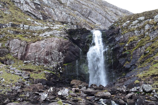
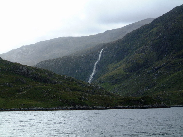
Eas Creag an Luchda
Eas Creag an Luchda is a waterfall of Scotland. == See also == Waterfalls of Scotland == References ==

Beinn Leoid
Beinn Leoid (792 m) is a mountain in the Northwest Highlands of Scotland. It lies in Sutherland, east of the village of Kylesku. A very remote mountain...
Achfary
Achfary (Scottish Gaelic: Achadh Taigh Phairidh) is a hamlet in the Scottish council area of Highland. To the east of the village lies Loch nan Ealachan...
Eas a' Chual Aluinn
Eas a' Chual Aluinn (grid reference NC281278) in the parish of Assynt, Sutherland, Highland, Scotland, is the tallest waterfall in the United Kingdom with...
Have you been to Glendhu Forest?
Leave your review of Glendhu Forest below (or comments, questions and feedback).