Gleann Dubh Forest
Downs, Moorland in Sutherland
Scotland
Gleann Dubh Forest
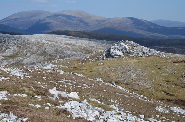
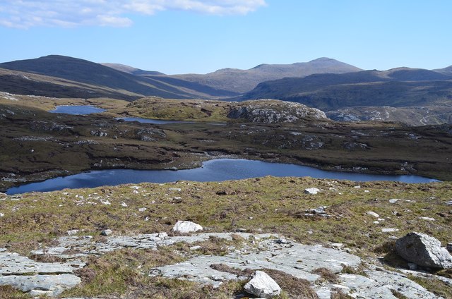
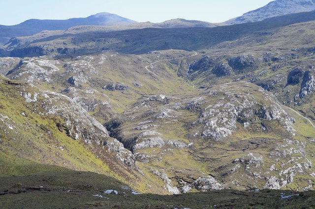
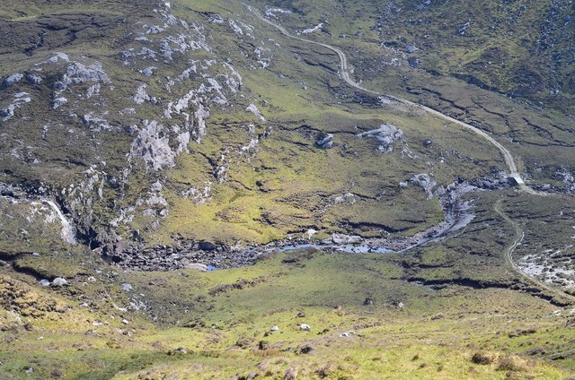
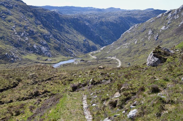
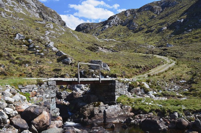
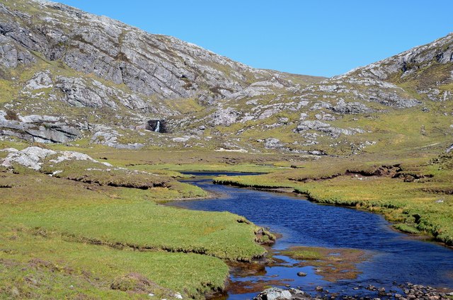
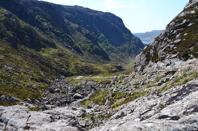
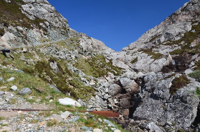
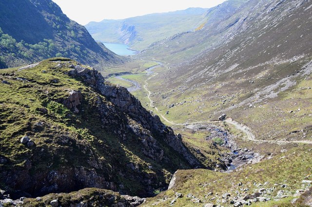
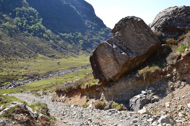
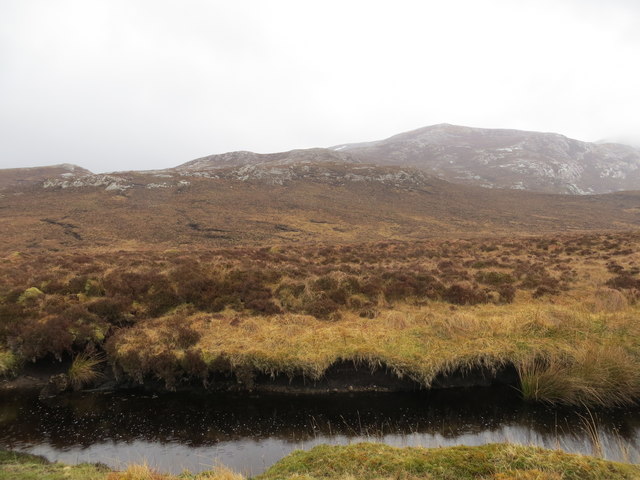
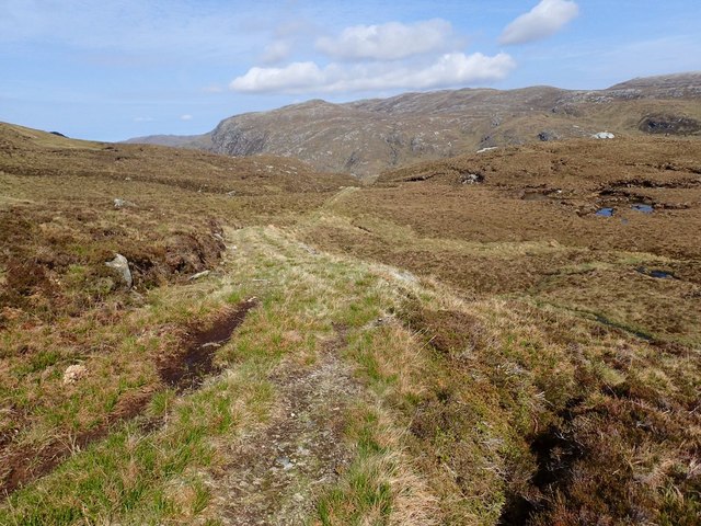
Gleann Dubh Forest is a remote and rugged area located in Sutherland, Scotland. The forest is characterized by its expansive stretches of dense woodland, rolling hills, and moorland terrain. The forest is home to a variety of native wildlife, including red deer, pine martens, and golden eagles.
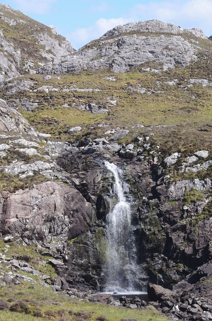
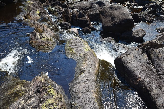
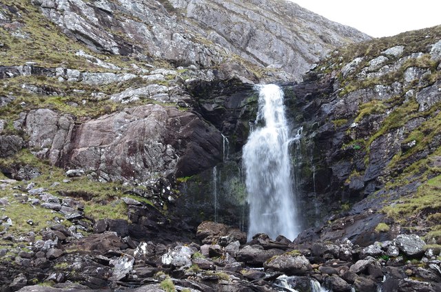
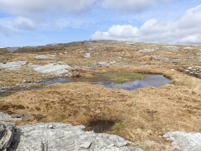
The landscape of Gleann Dubh Forest is dominated by towering Scots pine trees, which provide shelter and nesting sites for a wide array of bird species. The forest is intersected by a network of winding streams and rivers, which are fed by the surrounding hills and moors.
The climate in Gleann Dubh Forest is typically cool and damp, with frequent rainfall and misty conditions. The area is known for its unpredictable weather patterns, which can change rapidly throughout the day.
Visitors to Gleann Dubh Forest can enjoy a range of outdoor activities, including hiking, birdwatching, and wildlife photography. The forest is also a popular destination for nature enthusiasts and outdoor enthusiasts looking to explore the rugged beauty of the Scottish Highlands.
If you have any feedback on the listing, please let us know in the comments section below.
Gleann Dubh Forest Images
Images are sourced within 2km of 58.2605/-4.8905673 or Grid Reference NC3033. Thanks to Geograph Open Source API. All images are credited.
Gleann Dubh Forest is located at Grid Ref: NC3033 (Lat: 58.2605, Lng: -4.8905673)
Unitary Authority: Highland
Police Authority: Highlands and Islands
Also known as: Glendhu Forest
What 3 Words
///townhouse.occupations.firelight. Near Inchnadamph, Highland
Nearby Locations
Related Wikis

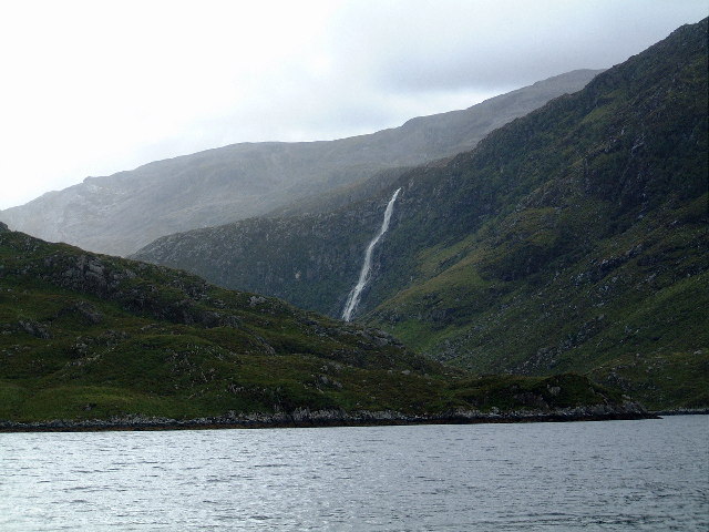
Eas Creag an Luchda
Eas Creag an Luchda is a waterfall of Scotland. == See also == Waterfalls of Scotland == References ==

Beinn Leoid
Beinn Leoid (792 m) is a mountain in the Northwest Highlands of Scotland. It lies in Sutherland, east of the village of Kylesku. A very remote mountain...
Achfary
Achfary (Scottish Gaelic: Achadh Taigh Phairidh) is a hamlet in the Scottish council area of Highland. To the east of the village lies Loch nan Ealachan...
Eas a' Chual Aluinn
Eas a' Chual Aluinn (grid reference NC281278) in the parish of Assynt, Sutherland, Highland, Scotland, is the tallest waterfall in the United Kingdom with...
Have you been to Gleann Dubh Forest?
Leave your review of Gleann Dubh Forest below (or comments, questions and feedback).