Lochain a' Mhill Dheirg
Lake, Pool, Pond, Freshwater Marsh in Sutherland
Scotland
Lochain a' Mhill Dheirg

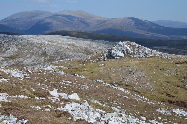
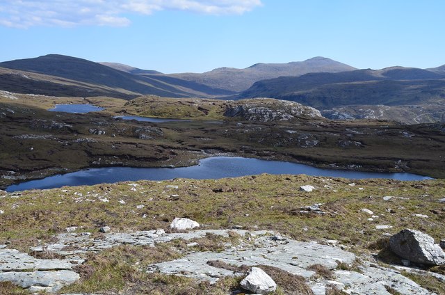
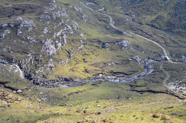
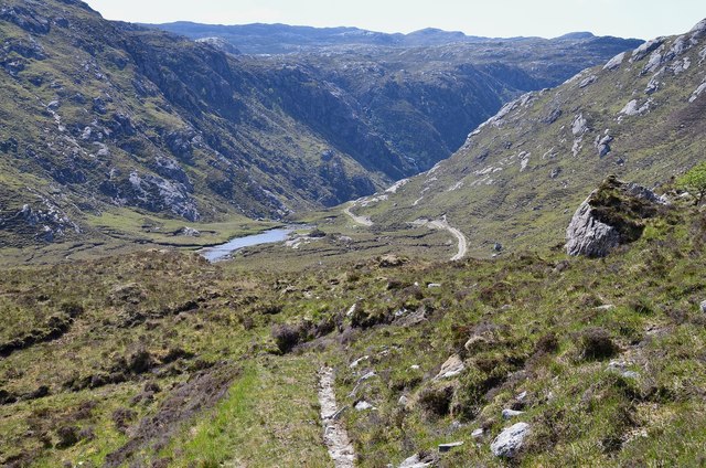
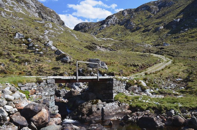
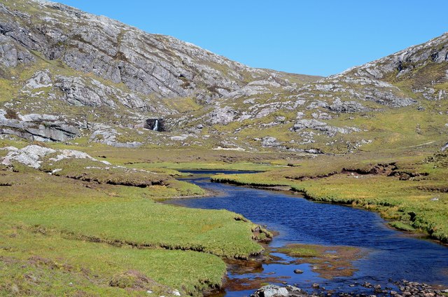
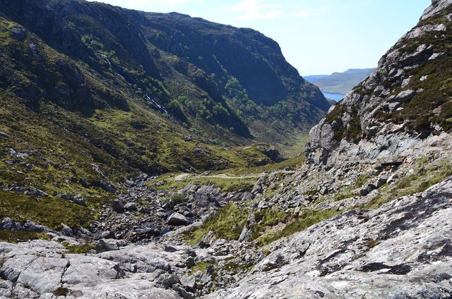
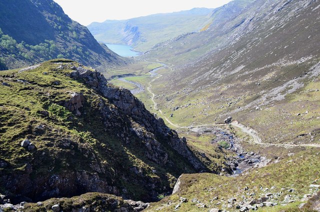
Lochain a' Mhill Dheirg is a picturesque freshwater loch located in the Sutherland region of Scotland. Nestled amidst the stunning Scottish Highlands, this tranquil body of water offers a serene and idyllic setting to visitors and locals alike.
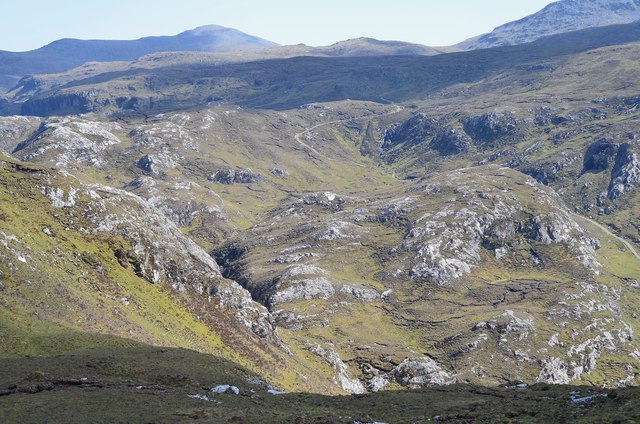
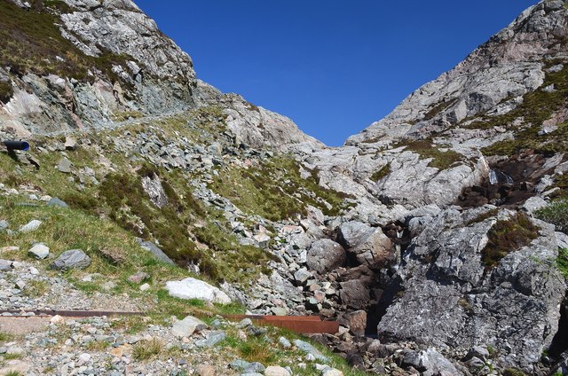
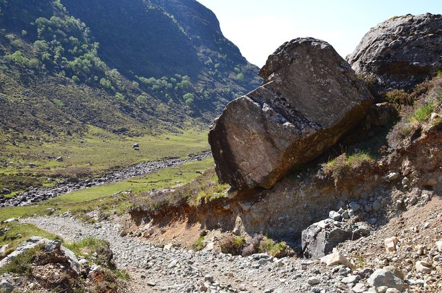
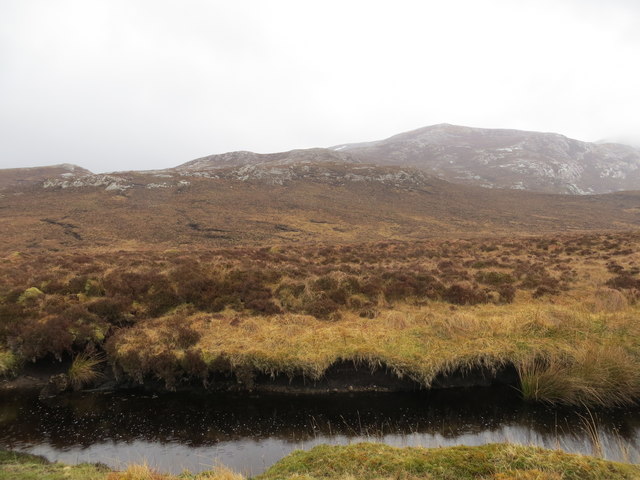
Covering an area of approximately 10 acres, Lochain a' Mhill Dheirg is a relatively small loch characterized by its crystal-clear waters and lush surroundings. The loch is situated at an elevation of around 200 meters, surrounded by rolling hills and heather-covered moorlands, adding to its scenic beauty.
The loch is known for its diverse flora and fauna, attracting birdwatchers and nature enthusiasts. Visitors can spot a variety of bird species, including ducks, swans, and herons, which make the loch their home or stop by during their migration. The surrounding marshes provide a rich feeding ground for these birds and other wildlife.
Lochain a' Mhill Dheirg offers excellent opportunities for outdoor activities such as fishing, with its waters teeming with brown trout. Anglers can enjoy a peaceful day by the loch, casting their lines and trying their luck to catch these prized fish.
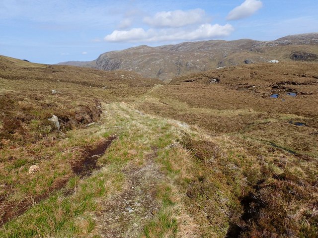
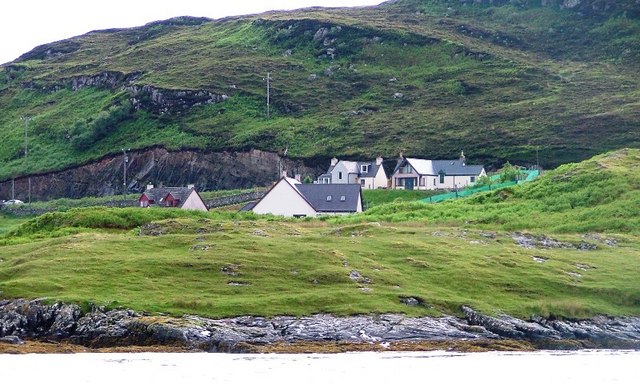
The loch is easily accessible by a nearby parking area, and there are well-maintained walking paths that allow visitors to explore the area and take in the breathtaking views. Whether it's a leisurely stroll, a picnic by the water's edge, or simply relishing the tranquility of nature, Lochain a' Mhill Dheirg offers a delightful escape from the hustle and bustle of everyday life.
If you have any feedback on the listing, please let us know in the comments section below.
Lochain a' Mhill Dheirg Images
Images are sourced within 2km of 58.260944/-4.8824871 or Grid Reference NC3033. Thanks to Geograph Open Source API. All images are credited.
Lochain a' Mhill Dheirg is located at Grid Ref: NC3033 (Lat: 58.260944, Lng: -4.8824871)
Unitary Authority: Highland
Police Authority: Highlands and Islands
What 3 Words
///preoccupied.storeroom.like. Near Inchnadamph, Highland
Nearby Locations
Related Wikis

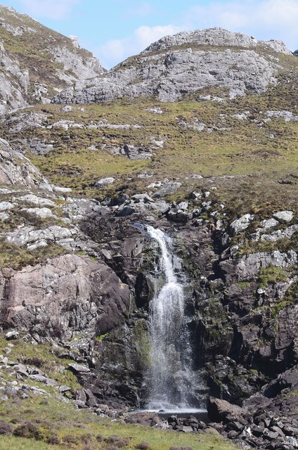
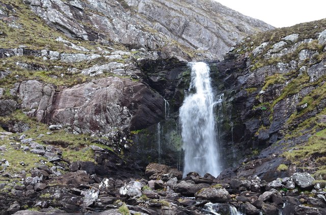
Eas Creag an Luchda
Eas Creag an Luchda is a waterfall of Scotland. == See also == Waterfalls of Scotland == References ==

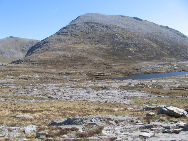
Beinn Leoid
Beinn Leoid (792 m) is a mountain in the Northwest Highlands of Scotland. It lies in Sutherland, east of the village of Kylesku. A very remote mountain...
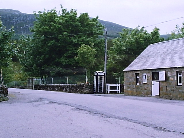
Achfary
Achfary (Scottish Gaelic: Achadh Taigh Phairidh) is a hamlet in the Scottish council area of Highland. To the east of the village lies Loch nan Ealachan...
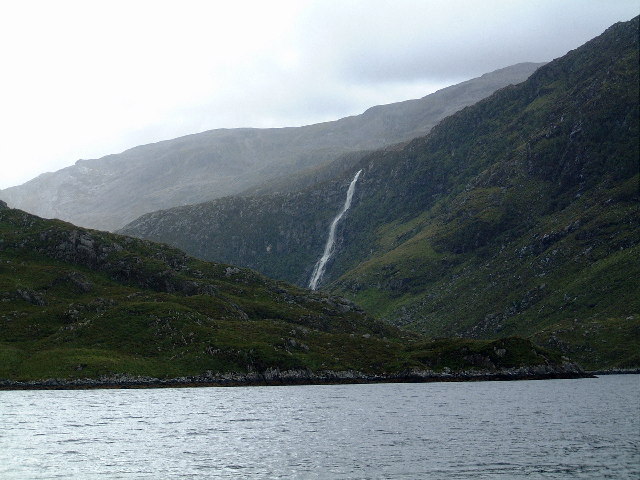
Eas a' Chual Aluinn
Eas a' Chual Aluinn (grid reference NC281278) in the parish of Assynt, Sutherland, Highland, Scotland, is the tallest waterfall in the United Kingdom with...
Meallan Liath Coire Mhic Dhùghaill
Meallan Liath Coire Mhic Dhughaill (801 m) is a mountain in the Northwest Highlands, Scotland. It lies in the far north of Scotland between Lairg and Durness...
Unapool
Unapool is a small settlement in the Assynt district of Sutherland in the Highland council area of Scotland. It is located on the A894 between Durness...

Kylesku
Kylesku (Scottish Gaelic: An Caolas Cumhang) is a small, remote fishing hamlet in Sutherland in the Scottish Highlands. Until 1984, it was the site of...

Kylesku Bridge
The Kylesku Bridge (officially known since 2019 by its Gaelic name Drochaid a' Chaolais Chumhaing) is a distinctively curved concrete box girder bridge...
Have you been to Lochain a' Mhill Dheirg?
Leave your review of Lochain a' Mhill Dheirg below (or comments, questions and feedback).