Blaxhall Common
Downs, Moorland in Suffolk East Suffolk
England
Blaxhall Common

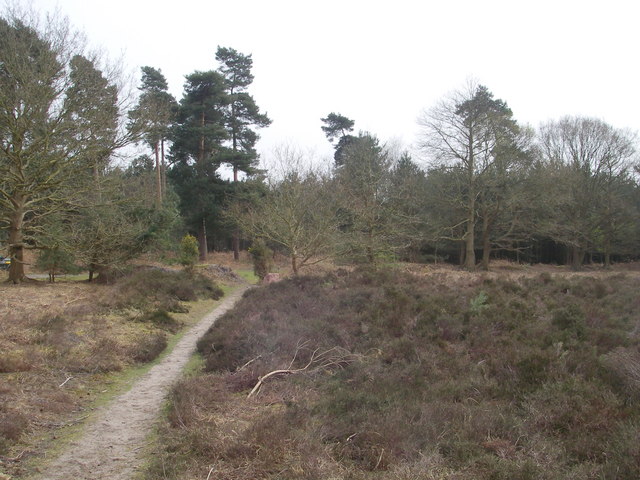
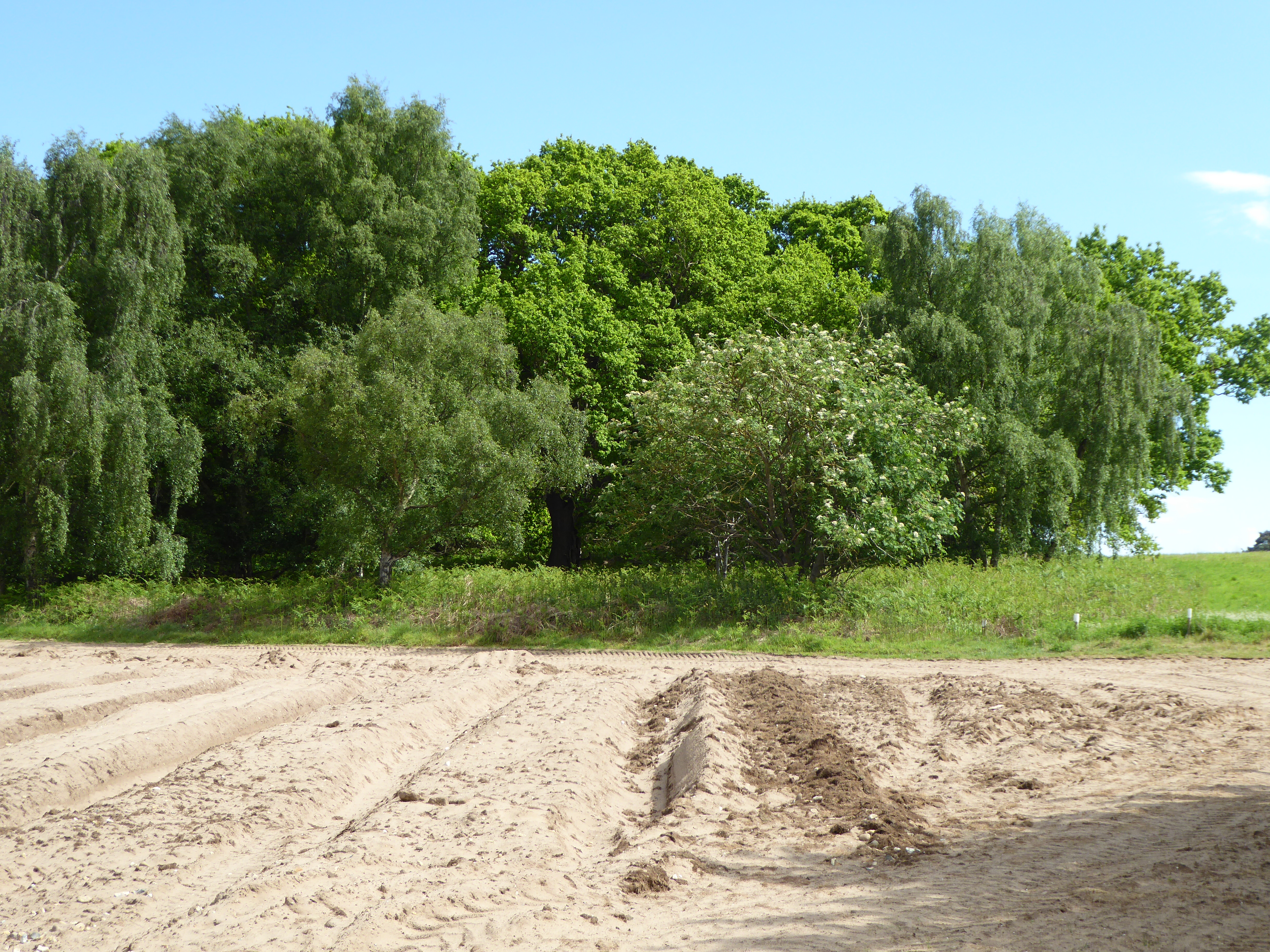
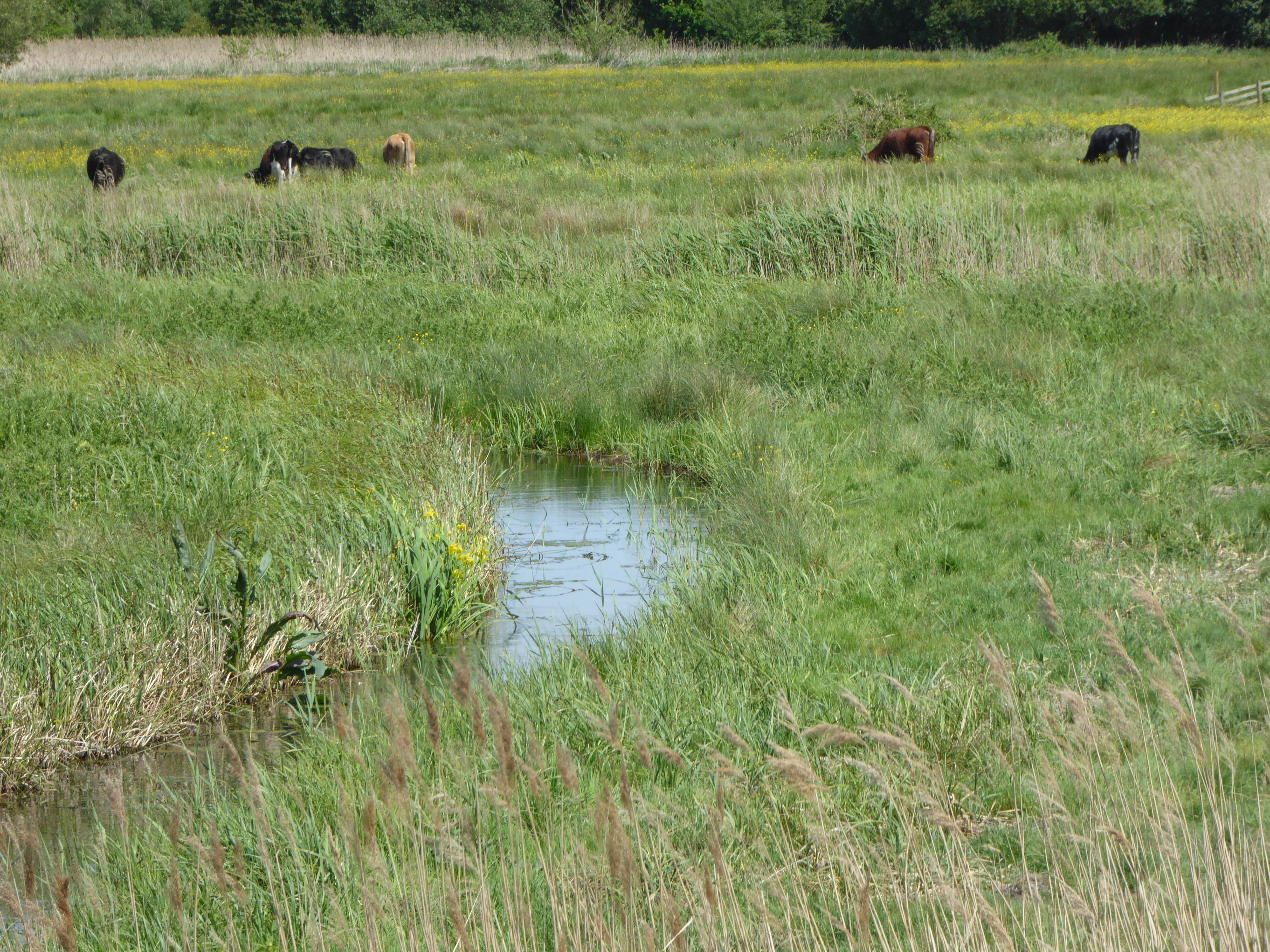
Blaxhall Common is a picturesque area located in Suffolk, England. Covering an expanse of approximately 72 hectares, the common is known for its diverse landscape, consisting of downs and moorland. It is situated within the Suffolk Coast and Heaths Area of Outstanding Natural Beauty, making it a popular destination for nature lovers and outdoor enthusiasts.
The common is characterized by its rolling hills, heathland, and scattered woodlands, offering a rich variety of habitats for numerous plant and animal species. Heather and gorse dominate the landscape, painting the common with vibrant hues of purple and yellow during the summer months. This, along with the presence of wildflowers such as harebells and orchids, creates a visually stunning vista.
Blaxhall Common is home to a wide range of wildlife, including rare species like the nightjar and adder. The common is also a haven for birdwatchers, with sightings of species like the stonechat, linnet, and meadow pipit being common occurrences.
The area is crisscrossed by several footpaths and bridleways, allowing visitors to explore the common at their leisure. These paths offer breathtaking views of the surrounding countryside, making them ideal for leisurely strolls or more challenging hikes.
Blaxhall Common is not only a natural treasure but also a cultural one. It has a rich history, with evidence of human activity dating back to the Neolithic period. The area was once utilized for grazing livestock and as a source of peat for fuel. Today, it is managed by local authorities to preserve its natural beauty and protect its unique ecosystem.
Overall, Blaxhall Common is a stunning location that offers visitors a chance to immerse themselves in the beauty of the Suffolk countryside and experience the diverse wildlife that calls the area home.
If you have any feedback on the listing, please let us know in the comments section below.
Blaxhall Common Images
Images are sourced within 2km of 52.158403/1.4769503 or Grid Reference TM3756. Thanks to Geograph Open Source API. All images are credited.


Blaxhall Common is located at Grid Ref: TM3756 (Lat: 52.158403, Lng: 1.4769503)
Administrative County: Suffolk
District: East Suffolk
Police Authority: Suffolk
Also known as: Blaxhall Heath
What 3 Words
///butchers.rooftop.wiggly. Near Rendlesham, Suffolk
Nearby Locations
Related Wikis
Blaxhall Common
Blaxhall Common is a nature reserve in the parish of Blaxhall in the East Suffolk District of Suffolk. The reserve is owned by Blaxhall Parish Council...

Blaxhall
Blaxhall is a village and civil parish in the East Suffolk district of the English county of Suffolk. Located around 8 miles (13 km) south-west of Leiston...
Snape Maltings Concert Hall
Snape Maltings Concert Hall is an arts complex on the banks of the River Alde at Snape, Suffolk, England. It is best known as one of the main sites of...
Iken Wood
Iken Wood is a 5.3-hectare (13-acre) biological Site of Special Scientific Interest south of Snape in Suffolk. It is in the Suffolk Coast and Heaths Area...
Aldeburgh Festival
The Aldeburgh Festival of Music and the Arts is an English arts festival devoted mainly to classical music. It takes place each June in the Aldeburgh area...

Snape Priory
Snape Priory was a priory in Suffolk, England. It was founded as a cell of the Benedictine St John's Abbey, Colchester in Essex.Cardinal Wolsey obtained...
Snape Marshes
Snape Marshes is a 19.8-hectare (49-acre) nature reserve south-east of Snape in Suffolk. It is owned and managed by the Suffolk Wildlife Trust.The diverse...

Suffolk Coastal (UK Parliament constituency)
Suffolk Coastal (sometimes known as Coastal Suffolk) is a parliamentary constituency in the county of Suffolk, England which has been represented in the...
Nearby Amenities
Located within 500m of 52.158403,1.4769503Have you been to Blaxhall Common?
Leave your review of Blaxhall Common below (or comments, questions and feedback).